River Cruise Water Levels by Month: When Each River Is at Risk
River-cruise water levels do have seasonal patterns, but no month can promise a full sailing or guarantee disruption. A few wet or dry weeks, the exact river section, bridge clearance, lock status, and your ship’s draft matter more than a calendar square.
This guide gives you the useful month-by-month pattern without pretending it is a forecast. It also shows you which gauge to check, what low and high water can change, and what to ask the cruise line before you pay.
My quick take
On free-flowing parts of the Rhine, Danube, and Elbe, low-water concern generally rises after a prolonged dry summer and can continue into fall. High water can develop in any month after heavy rain, with rain on snow or rapid snowmelt adding risk in some spring and early-summer periods.
Regulated rivers such as the Douro, Rhône, Seine, Main, and Moselle are not disruption-proof. Dams, locks, and weirs help manage navigation, but high flow, bridge clearance, lock closures, maintenance, drought, and local restrictions can still change a cruise.
I would choose an itinerary for the ports and scenery, then compare the line’s disruption policy and build flexibility around the parts I cannot control. I would not reject an entire month because of one historical low-water year.
The quick facts
- The gauges people watch: Kaub is important on the Middle Rhine, while Pfelling helps describe the free-flowing German Danube and Kienstock covers Austria’s Wachau reach. Dresden is a useful Elbe gauge, but your itinerary may depend on another location.
- Where to read them: Germany’s federal PEGELONLINE publishes current raw gauge data, and Austria’s DoRIS provides water levels, forecasts, shallow sections, lock status, bridge clearance, and navigation notices.
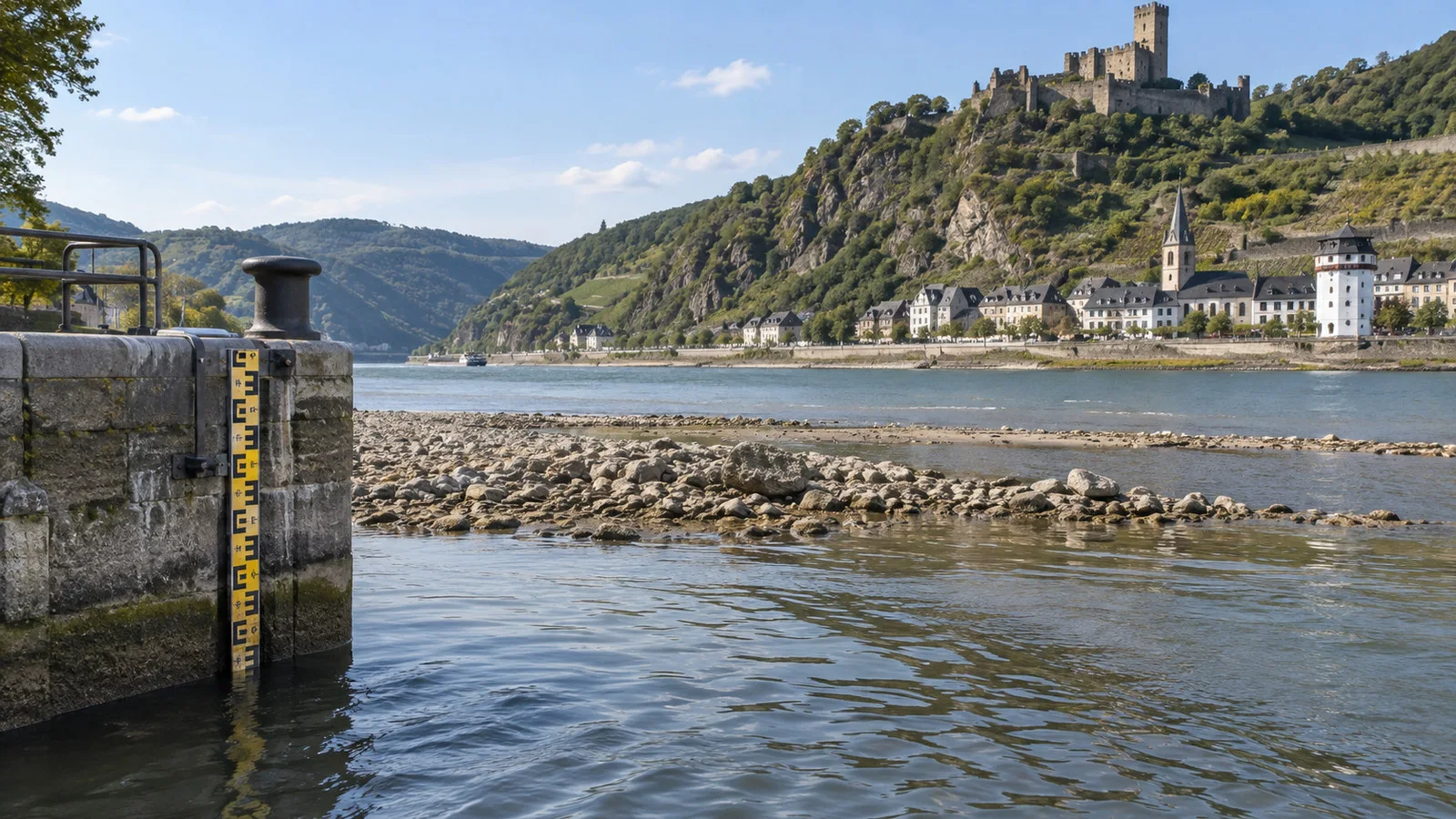
- A gauge is not depth: the reading is water height relative to a local reference zero, not the depth under your ship. A 16-inch gauge reading does not mean the channel is only 16 inches deep.
- There is no magic cutoff: ship draft, loading, channel information, safety margin, and the line’s operating plan all matter. A threshold quoted for freight statistics or one vessel is not a universal cruise-cancellation number.
- Low water: a ship may reduce load, shorten a navigated section, substitute coaches, swap guests between ships, change embarkation, or alter ports. The line may make different choices on two ships facing the same gauge.
- High water: the concern may be bridge clearance, current, port or lock closure, and safe gangway access rather than depth. A river can become too high to sail before it looks dramatic from shore.
- The best booking protection: read the operator’s water-level and itinerary-change terms, then insure the risks the contract leaves with you. A port list is not a promise that every mile will be traveled by ship.
What low water actually means
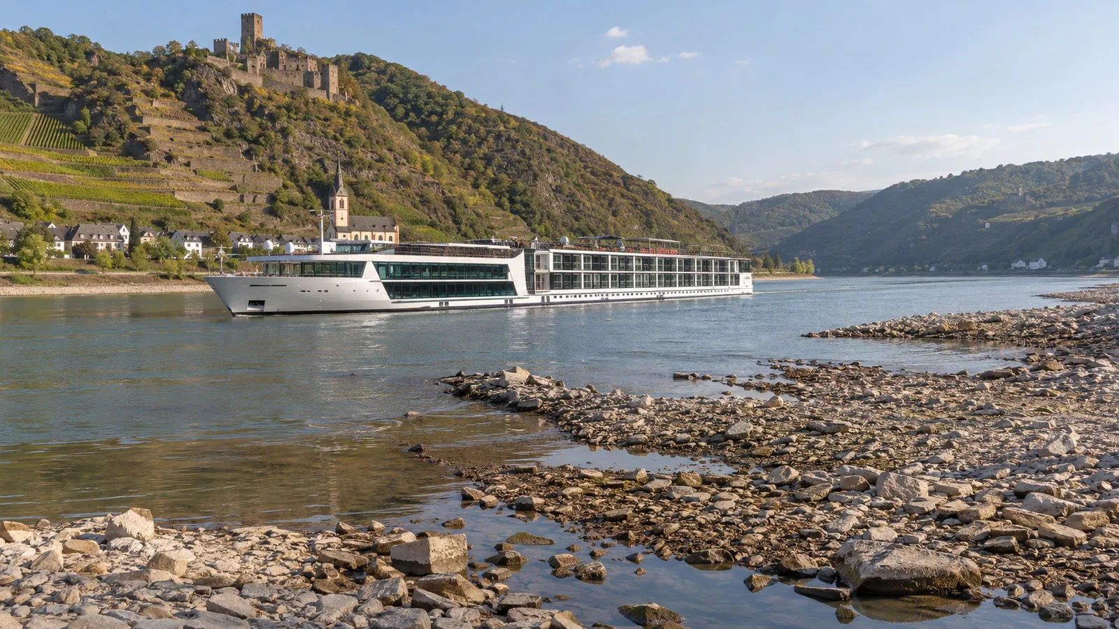
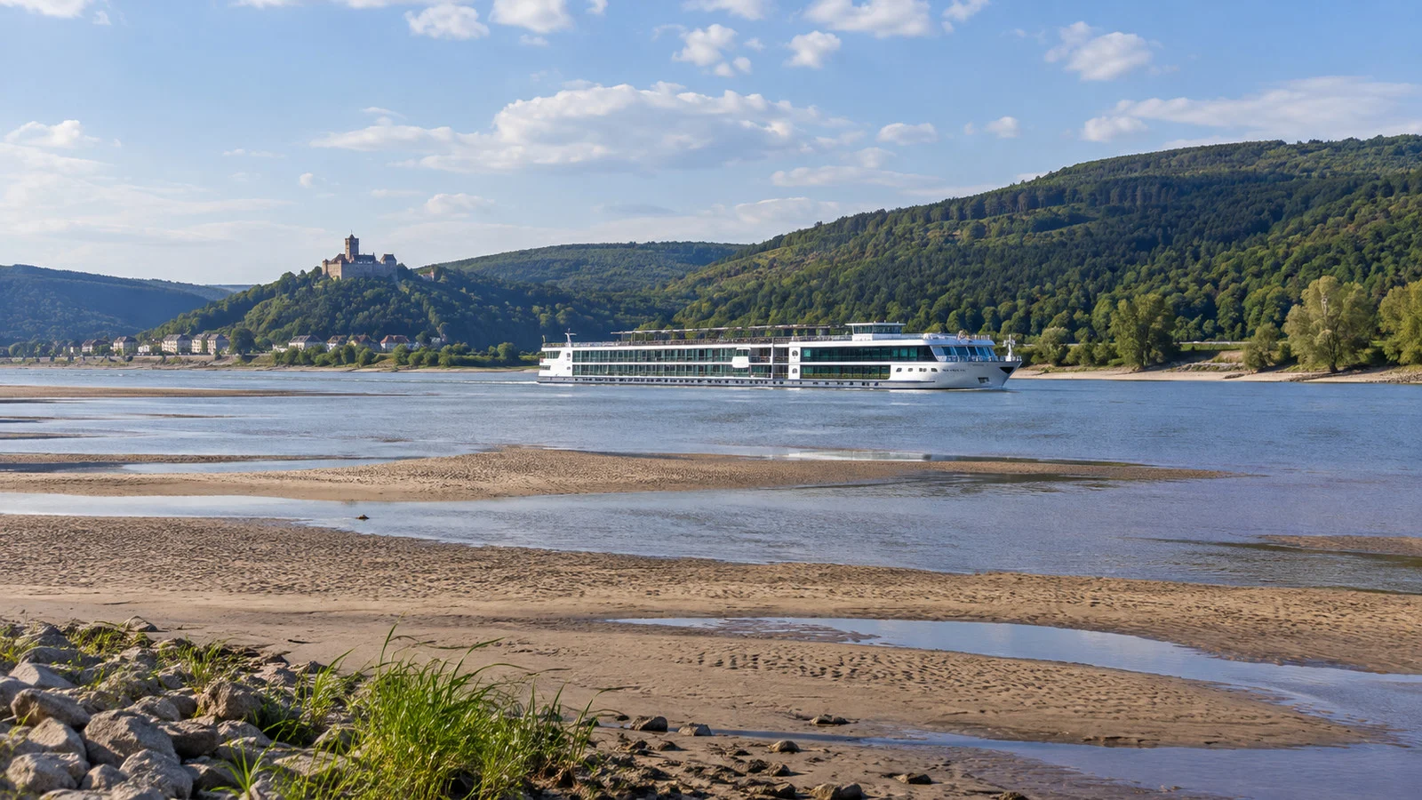
Low water reduces the usable depth in the navigation channel and can restrict how deeply a vessel may sit. The result depends on the shallowest critical reach, not the average depth of the whole river.
Operators may lighten a ship, change the route, or stop sailing a reach that falls outside their safety margin. Passenger outcomes can include a coach transfer, a hotel night, a changed port, a shortened cruise section, or a ship swap.
A ship swap usually means two similar vessels operate on opposite sides of a restricted section and guests transfer between them. Read what a river-cruise ship swap involves before assuming it will preserve the same cabin, timing, or level of convenience.
Low water can also move an embarkation point even when most of the itinerary still operates. Keep the ship’s current contact details handy and recheck the meeting location before traveling to the pier.
What high water actually means
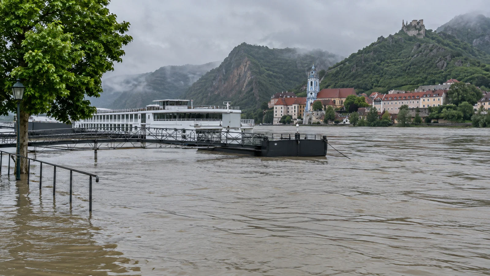
High water can reduce the space between the water and a bridge, increase current, cover a landing stage, or trigger a closure by navigation authorities. The ship may have plenty of depth and still be unable to pass safely.
Some vessels can lower a wheelhouse or railings for normal bridge clearances, but that does not erase official limits. The captain and authorities decide whether navigation is safe, and the passenger timetable comes second.
High water may rise and fall faster than a long drought, but duration depends on rainfall, catchment size, soil saturation, snow, tributaries, and reservoir operations. Do not assume a disruption will last one day or the rest of the cruise.
Rhine water levels by month
Winter and spring can bring high-water episodes after widespread rain, and snow conditions in the basin can add to spring flow. Low-water risk usually becomes more relevant after a dry summer, especially on the Middle Rhine around Kaub.
May and June are often comfortable planning months, but they are not immune to flooding or bridge restrictions. July can go either way, while August through October deserves more attention to recent rainfall and the gauge trend.
November and December are not automatically safe because water is usually higher. Floods, fog, wind, ice, and navigation restrictions can still alter a Christmas-market sailing.
Kaub matters because it helps describe a critical Middle Rhine section, including itineraries that pass the Middle Rhine Gorge. It does not describe Basel, Amsterdam, or every tributary, so match the gauge to the route.
Danube water levels by month
The Danube crosses a huge basin and alternates between free-flowing and engineered reaches. One gauge cannot tell you whether the whole Amsterdam-to-Budapest or Passau-to-Black Sea route can operate.
High water can follow heavy rain at any time, with spring and early summer receiving extra attention where snowmelt contributes. After a hot, dry summer, low-water concern can rise on the free-flowing German reach and later affect other stretches.
Pfelling is often discussed for the German section between Straubing and Vilshofen, while DoRIS publishes a network of Austrian gauges and navigation information. Kienstock is relevant to the Wachau, but downstream sections need their own data.
The Iron Gates dams create a very different navigation environment from Bavaria or the Wachau. That is why a dramatic gorge can be navigable while a broad, quiet-looking reach becomes the operational bottleneck.
Elbe water levels by month
The Elbe has long free-flowing reaches and less upstream storage than heavily regulated rivers, so its cruise operation can be sensitive to both dry spells and floods. Shallow-draft ships help, but no design makes the route immune.
Spring can have favorable water, but high-water events remain possible. Summer and early fall can develop low-water problems after extended dryness, and there is no defensible rule that April, May, or October is always safe.
Check the relevant PEGELONLINE gauges and the operator’s current notice close to departure. If sailing the full route matters more than visiting the cities by coach, treat flexibility as part of the fare comparison.
My guide to Elbe river-cruise ports helps separate the itinerary’s scenic sailing from the places that can still be reached overland.
Douro, Rhône, Seine, Main, and Moselle
Locks, dams, and weirs make these rivers more regulated, but “regulated” does not mean guaranteed. Operators still respond to high flow, low flow, bridge restrictions, lock closures, maintenance, and authority instructions.
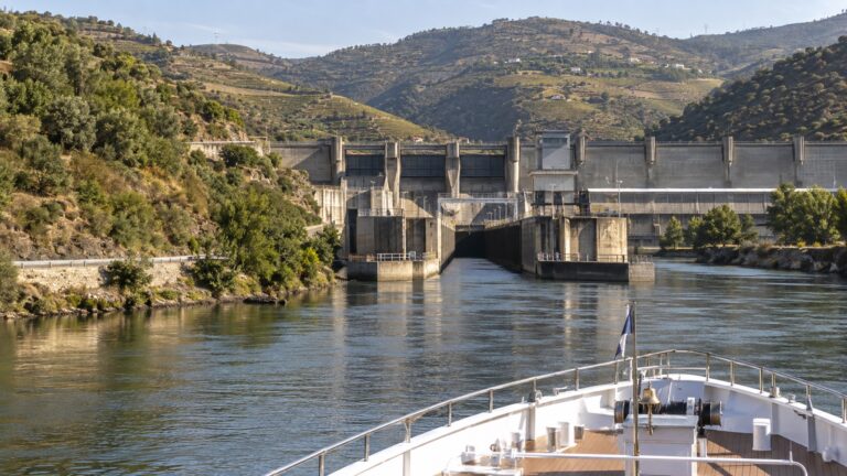
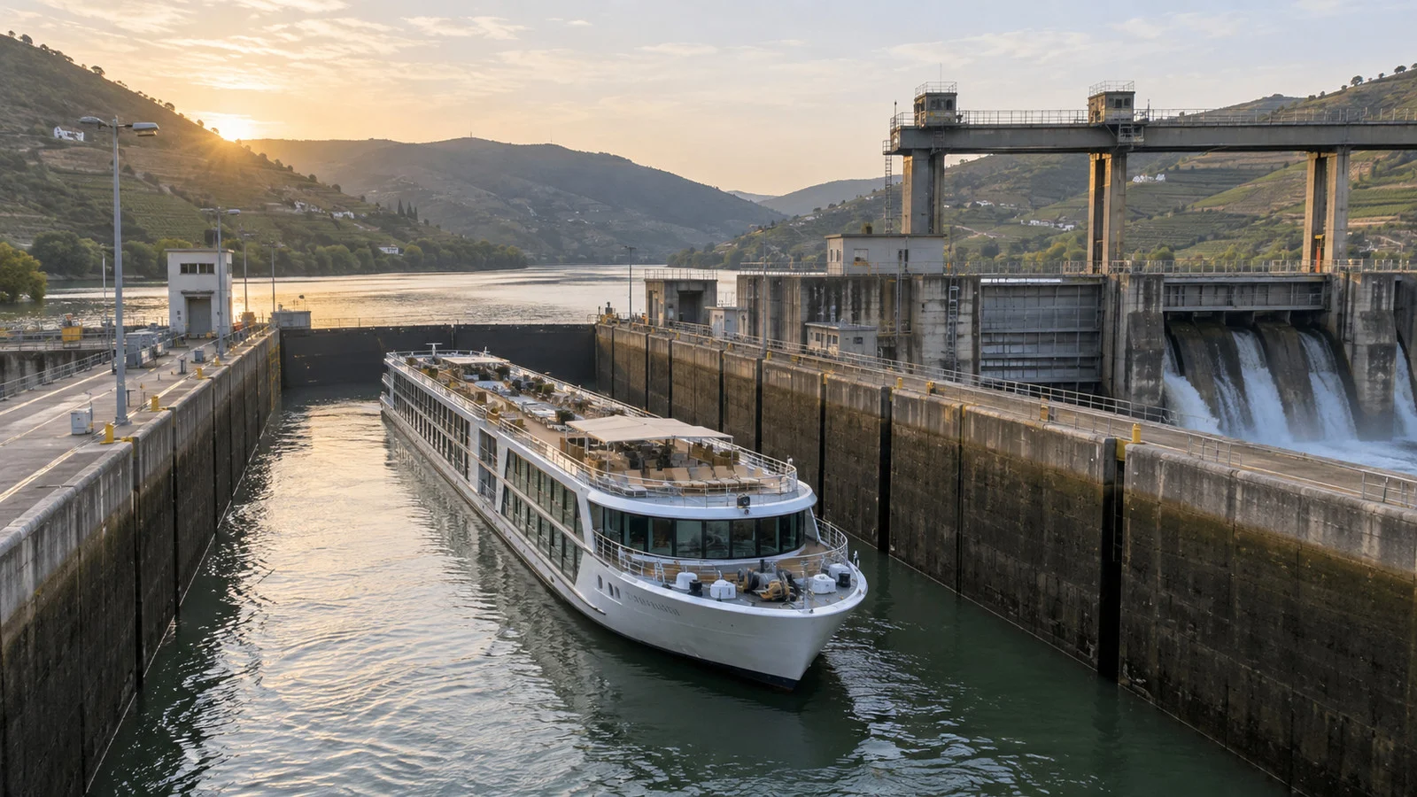
The Douro is a chain of reservoir reaches and five navigation locks in Portugal. APDL lists minimum navigation-channel depths of 12.5 feet from the sea to Pinhão and 6.6 feet from Pinhão to Pocinho, but those published dimensions are not a passenger guarantee for every day.
The Rhône and Seine can face high-water, current, or bridge-clearance issues after heavy rain, while the Main and Moselle add their own locks and controlled reaches. Check the line’s notice and local navigation authority instead of transferring a Kaub reading to another river.
If water-level anxiety will dominate your vacation, a more regulated route may feel easier to book. Compare the tradeoffs in the Rhine, Danube, Douro, and Rhône guide.
The cautious month-by-month calendar
March and April
Low water is often less prominent on major Central European routes, while rain, snowmelt timing, and high-water episodes deserve attention. Early-season lock work, cold weather, or revised embarkation points can also matter.
May and June
These are often reasonable months for Rhine and Danube water depth, yet prolonged rain can produce high water and bridge-clearance trouble. Watch forecasts across the upstream basin rather than only the weather at embarkation.
July
Recent rainfall becomes increasingly important, and a dry pattern can begin lowering sensitive reaches. A healthy reading at the start of the month says little about late July without the trend and forecast.
August and September
Low-water risk is often highest after sustained summer heat and limited rain, especially on free-flowing sections. Some years operate normally, while others require coaches, route changes, or ship swaps.
October
Fall rain may improve low levels, but a dry pattern can persist and heavy rain can create a different problem. Treat October as a transition month, not a guaranteed recovery.
November through February
Low water may ease on some routes, while floods, fog, ice, storms, shorter daylight, and seasonal operating schedules become more relevant. A Christmas-market cruise still needs flexible expectations even when depth is comfortable.
What I would actually check
- The itinerary’s critical reach: ask the line which gauge or section could affect your route, because Kaub, Pfelling, Kienstock, and Dresden are not interchangeable. The answer should fit the ship and direction you are sailing.
- The trend and forecast: check official gauges in the last one to two weeks, but read several days rather than one number. PEGELONLINE warns that its current readings are unchecked raw data, so use them as context and let the operator make the navigation decision.
- The actual route timing: use your upstream or downstream direction to estimate when you reach the sensitive section. A gauge today cannot predict the level a week later.
- The line’s written response: ask what happens to accommodations, meals, luggage, excursions, transfers, and refunds if the ship cannot pass. My low-water explainer covers the practical outcomes to compare.
- Your flexibility: protect arrival flights, keep medication and essentials in a carry-on, and choose travel insurance that fits the contract. If scenic sailing is the entire reason for the trip, do not treat a coach substitution as equivalent.
How I would choose a river and month
If the Rhine Gorge or Wachau sailing is the star, I would lean toward late spring or early summer while accepting that high-water events remain possible. I would not call any month safe, and I would compare operators by their written disruption response.
For a late-summer trip, I would consider whether the cities or the shipboard scenery matters more. A regulated river may reduce some low-water concerns, but every route still needs current operational checks.
For the Elbe, I would book only if I could enjoy the itinerary despite some overland travel. For any river, a well-designed flexible plan beats a confident monthly prediction.
Accessibility during a water-level disruption
Changed berths, steeper gangways, rafting, coaches, hotel nights, and ship swaps can add stairs, luggage handling, and longer transfers. None of those substitutions should be assumed accessible because the original itinerary was.
Before booking, ask the line what accessible transportation and accommodations it can provide during an altered itinerary. State the dimensions and weight of any mobility device, whether you can climb steps or board a coach, and what assistance is essential.
Get the answer in writing and carry medication, chargers, documents, and one change of clothes in a bag you control. A ship swap or unexpected hotel stay is much easier when necessities are not buried in transferred luggage.
Weather and water are related, but not identical
Warm weather at your embarkation city does not prove the river is low, and one rainy afternoon does not refill a large basin. River level reflects precipitation and snow conditions across a broad catchment, plus tributary and reservoir behavior over time.
Use official short-range forecasts for packing and the river authority’s current navigation information for context. For winter travel, my guide to Christmas-market river cruises covers cold, darkness, and weather delays beyond the gauge.
Quick answers
Which months have the highest Rhine low-water risk?
Concern generally rises after a prolonged dry summer, often from late July into fall. Historical seasonality is not a forecast, so check recent basin weather, the gauge trend, and your operator’s current notice.
What Kaub reading stops river cruises?
There is no universal number. Each ship and operator works with draft, loading, channel data, safety margins, and the outlook, while the gauge itself is not channel depth.
Can the Douro have water-level problems?
Yes. Its dams and locks regulate the navigation channel, but high flow, restrictions, lock issues, and other operating conditions can still change a sailing.
Is the Elbe always risky in summer?
No summer is automatically disrupted, but the free-flowing Elbe can become sensitive after an extended dry spell. Judge the current year and the operator’s plan rather than declaring one month unusable.
Can high water change a cruise?
Yes. Bridge clearance, strong current, covered landing stages, and navigation closures can stop or reroute a ship even when depth is plentiful.
The last word
A monthly water-level calendar is useful for understanding patterns and terrible at predicting one departure. Match the gauge to the route, watch the recent trend, and let the authorities and operator decide what the ship can safely do.
The best booking is not the one with a supposedly perfect month. It is the one whose ports you want, whose disruption terms you understand, and whose backup plan you could still enjoy.
If the Douro appeals because of its engineered waterway, read how the Douro’s five locks and dams shape the trip. Just remember that engineering changes the risk rather than deleting it.
How this guide was researched: Unless a first-hand visit is explicitly identified above, this guide is based on independent research using official waterway, navigation, cruise-line, government, port, tourism, and weather sources where available.
Gauge interpretation and current data limits were checked against PEGELONLINE and Austria’s DoRIS, Douro dimensions against APDL, and cruise-disruption practices against current guidance from Riviera Travel and Uniworld. See our Editorial Policy.
More on this topic: browse every guide on river cruise planning.