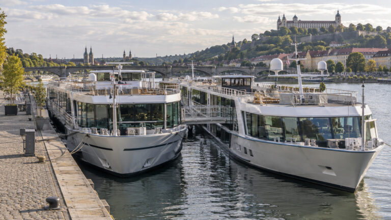
River Cruise Water Levels: What Low Water Actually Does to Your Trip
River cruise water levels inspire an impressive amount of worry, especially once a dramatic photo of an exposed riverbank begins making the rounds. The reality is less cinematic and more useful: water affects ships differently by location, vessel design, loading, bridge clearance, and the decisions made by the captain and cruise line.
A low number at one gauge does not tell you whether your ship will sail, and a week of rain does not guarantee that every problem is over. What matters is the relationship among the riverbed, the marked navigation channel, the ship’s draft, the clearance the captain must maintain, and conditions along the entire itinerary.
Quick Facts
- A gauge reading measures water height relative to that gauge’s local reference point, not the depth available beneath every ship.
- Draft is the distance from the waterline to the lowest part of the vessel, while air draft is the vessel’s height above the waterline.
- Low water can reduce under-keel clearance, while high water can reduce clearance beneath bridges and trigger navigation restrictions.
- Captains and operators evaluate several gauges, forecasts, channel notices, vessel dimensions, and the planned route rather than relying on one headline number.
- Common responses include adjusting speed or timing, changing berths, transferring guests by coach, swapping ships, shortening a segment, or arranging a hotel stay.
- No month is immune from disruption, so flexible flights, clear insurance terms, and realistic mobility planning matter more than a supposedly perfect sailing date.
What a River Gauge Actually Measures
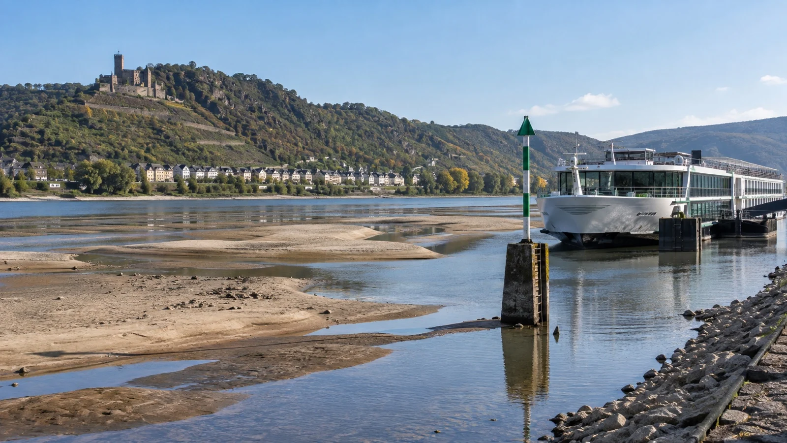
A river gauge reports the height of the water surface above a fixed local datum called the gauge zero. That zero is a surveying reference, not the riverbed, so a reading of 80 centimeters does not mean there are only 80 centimeters of water in the channel.
Every gauge has its own datum and its own relationship to nearby river geometry. Comparing raw readings from two gauges as if they shared one ruler can therefore be misleading.
The German federal navigation service, ELWIS, publishes current readings and reference values for Kaub on the Rhine. Its gauge page identifies the local gauge zero, high-water navigation marks, the equivalent water level, and the depth below that equivalent level, which is exactly why a single number needs context.
The navigable channel also is not a perfectly flat trench. Shoals shift, bends behave differently from straight reaches, dredging and river-training works matter, and authorities may publish temporary deviations in channel width or depth.
Gauge Height, Channel Depth, and Under-Keel Clearance
Channel depth is the vertical distance between the water surface and the controlling riverbed level within the intended navigation channel. Draft describes how far the vessel extends below the waterline, while under-keel clearance is the safety space between the ship and the bottom.
A captain cannot simply subtract draft from a public gauge reading. The calculation must account for the gauge-to-channel relationship, the shallowest controlling reach, squat while the vessel is moving, loading, trim, current, forecast change, and the operator’s required safety margin.
River ships are designed for shallow water compared with many oceangoing vessels, but they still need clearance. Two ships on the same river can face different operating limits because their hulls, draft, propulsion, loading, and company procedures are not identical.
This is also why freight traffic is an imperfect proxy for passenger cruises. A cargo vessel may continue with a lighter load, while a passenger vessel cannot unload cabins, restaurants, fuel systems, and hotel operations in the same flexible way.
Why Kaub Gets So Much Attention

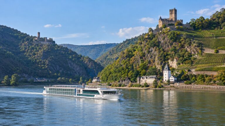
Kaub sits on the free-flowing Middle Rhine, a famously scenic stretch with castles, steep slopes, and constrained navigation. It is an important reference point because conditions there can affect through traffic on itineraries connecting the upper and lower Rhine.
The Central Commission for the Navigation of the Rhine lists Kaub’s equivalent water level as 77 centimeters for the reference period that took effect in 2023. The commission defines equivalent water level statistically, based on a low flow that falls below the long-term average for 20 ice-free days, rather than as a universal cruise-ship cutoff.
That distinction is crucial. The same commission explains that Rhine low water does not come with one level at which all navigation is prohibited, leaving the skipper responsible for deciding whether a vessel can safely travel through a section.
A Kaub reading can be operationally significant without serving as a magical yes-or-no line. Cruise operators combine it with vessel particulars, upstream and downstream gauges, official notices, forecasts, and the itinerary’s turnaround needs.
Pfelling and the Free-Flowing Danube
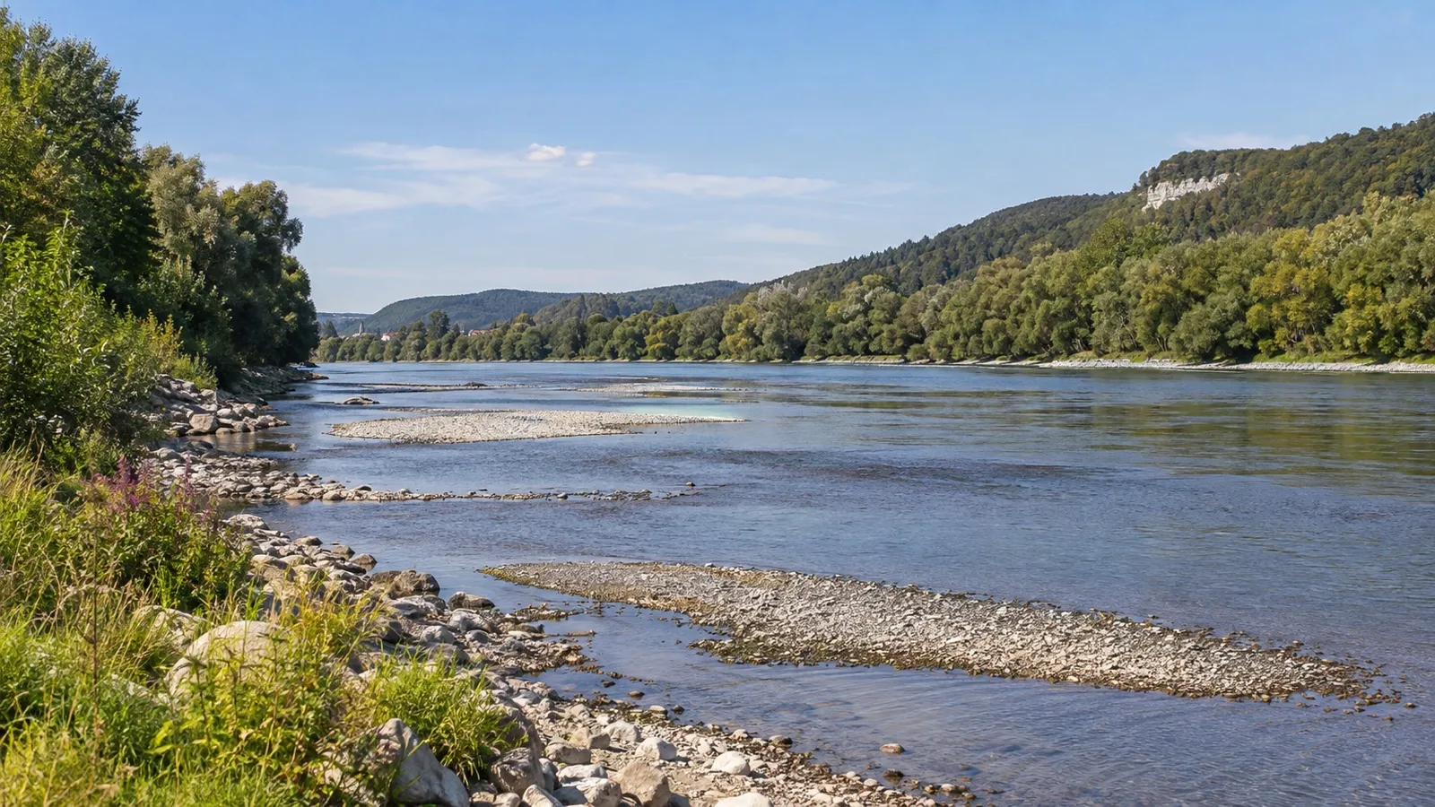
Pfelling is often discussed for Danube itineraries because it represents a free-flowing reach in Germany rather than a lock-controlled reservoir. Water levels in such sections can respond directly to rainfall, runoff, and extended dry periods.
The lesson is the same as at Kaub: a public gauge reading is an input, not a passenger-facing verdict. Official Danube services such as Austria’s DoRIS publish water-level information for navigation, while captains work from route-wide operational data and notices.
A ship may be able to reach one town yet be unable to complete the next long sector. That can prompt a ship swap, with guests leaving one vessel, traveling around the restricted reach by road, and joining a sister ship operating on the other side.
Why Some Rivers Are More Sensitive
Not every European river behaves like the Rhine or Danube. Locks, dams, reservoirs, tides, channel engineering, watershed size, and local rainfall patterns create very different operating environments.
The Elbe
Long free-flowing sections and comparatively limited regulating infrastructure make parts of the Elbe sensitive to sustained dry conditions. A beautiful itinerary between central European cities may therefore have less operational cushioning than a deeply maintained or extensively impounded waterway.
This does not mean every Elbe departure will fail in a dry season. It means travelers should pay close attention to the operator’s contingency plan and avoid assuming another river’s conditions predict the Elbe.
The Douro
The Douro is shaped by locks and dams, but that does not make it immune to disruption. Reservoir management, inflow, lock operations, current, and navigation rules still determine what can move and when.
Portugal’s official Douro Waterway authority describes a marked navigation channel through the waterway system. Conditions and operating notices remain route-specific, so a Rhine gauge cannot tell you what will happen on the Douro.
Canalized Rivers and Canal Links
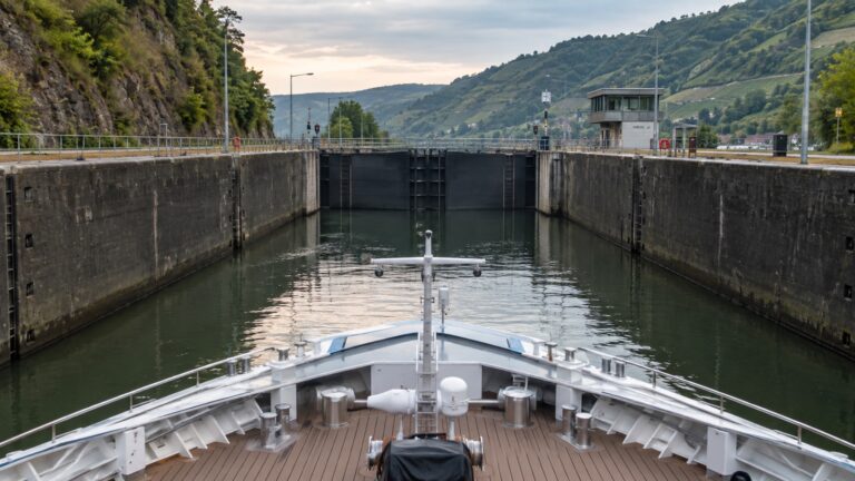
Locks and impoundments can stabilize water levels within a reach, which may reduce sensitivity to short dry spells. They also introduce other dependencies, including lock maintenance, reservoir operations, and bridge or gate clearance.
The Main-Danube Canal is engineered very differently from a free-flowing river reach. A long itinerary that combines canals, controlled sections, and natural river reaches is only as passable as its most restrictive segment.
Low Water Is Only Half the Story
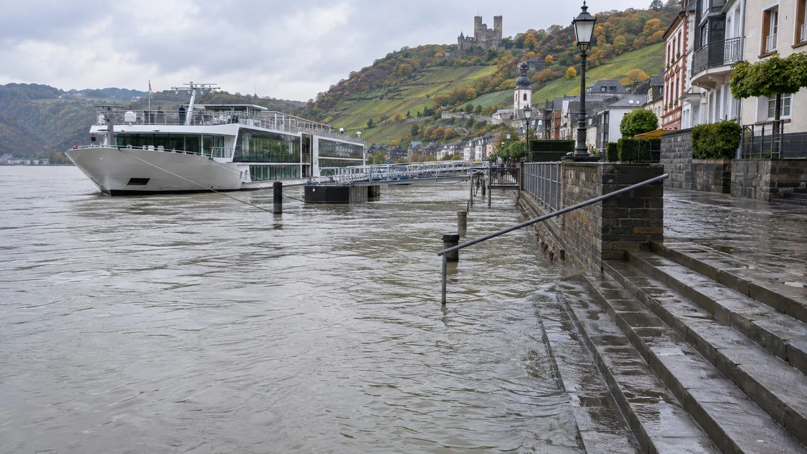
High water can be just as disruptive as low water, though for different reasons. Rising water may reduce the space beneath bridges, strengthen currents, cover navigation marks, complicate docking, or bring formal restrictions into force.
The Rhine commission notes that traffic is halted above specified high-water levels, in contrast to its skipper-based low-water decisions. River ships are built with low profiles and adjustable features, but bridge clearance can still become the controlling limit.
A sudden rise can therefore be bad news even when a low-water problem seemed close to resolution. Rain must fall in the right catchments, move through tributaries, and reach the affected segment without creating a new high-water constraint elsewhere.
Why Long-Range Predictions Are Weak
River levels can change quickly, while reliable forecasts become less certain farther into the future. Snowpack, soil moisture, rainfall location, heat, evaporation, tributary timing, reservoir operations, and local channel conditions all influence the result.
A seasonal average may help describe broad climate patterns, but it cannot promise the conditions for a particular sailing months away. One wet week can improve a reach, one hot dry stretch can reverse that improvement, and different parts of the same river system may move in opposite directions.
Use official portals for situational awareness, not amateur threshold charts that claim to predict a cruise from one number. The European River Information Services portal brings together waterway and traffic information across participating countries, while national authorities remain the primary source for local gauges and notices.
What Cruise Lines Do When a Ship Cannot Pass
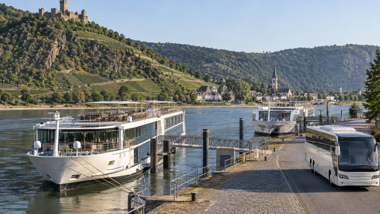
The first response is often invisible to guests. Captains may adjust speed, sailing time, loading, or the sequence of calls while operations teams monitor forecasts and berth availability.
If one reach becomes impassable for a particular ship, the operator may keep the rest of the vacation moving. The exact response depends on fleet position, available sister ships, hotel inventory, coach capacity, docking rights, and how long the restriction is expected to last.
A ship swap can preserve much of the itinerary when two compatible vessels are positioned on opposite sides of a restricted reach. Guests pack, travel by coach, and board the other vessel, sometimes after sightseeing along the way.
Other trips may involve a longer coach transfer, a substituted port, a hotel night, a shortened cruise segment, or cancellation. None of these outcomes is automatic, and two departures on consecutive days can receive different solutions because ships and resources have moved.
How Disruption Feels as a Passenger
A well-managed ship swap can be a manageable inconvenience, especially when the cruise line communicates early and handles luggage. It still changes the rhythm of the trip and may replace relaxing scenic sailing with additional road time.
The impact is larger for travelers with limited mobility, fatigue concerns, sensory needs, or medication and equipment that must remain close at hand. Repeated boarding, coach steps, unfamiliar hotel rooms, and repacking can turn a technically successful workaround into a difficult day.
Contact the cruise line before final payment if step-free access, refrigerated medication, a mobility device, or an adapted cabin is essential. Ask how those arrangements carry over to coaches, alternate vessels, hotels, and substituted excursions during an operational change.
Choosing a Sailing Date Without Chasing Certainty
There is no universally safe month for every river. Spring can bring high water, summer can bring heat and low flow, fall can remain dry, and unusual weather can disrupt any neat seasonal pattern.
Instead of trying to predict a gauge far in advance, choose a date for the weather, daylight, crowds, scenery, and events you actually want. Then reduce the consequences of disruption with a sensible travel plan.
Book flights with enough flexibility to absorb a changed embarkation or disembarkation point. Arriving at least a day early is useful for ordinary flight delays too, though the right buffer depends on your route and tolerance for risk.
Review the cruise contract for itinerary changes, substitutions, cancellation, and operator responsibilities before you pay. Policy wording varies by company and country, so rely on the current contract for your booking rather than a summary in a forum.
Travel insurance deserves the same close reading. Look at covered reasons, trip interruption, missed connection, delay, supplier default, reimbursement limits, exclusions, and the treatment of events known before the policy was purchased.
Questions Worth Asking Before You Book
Ask what the line typically does when the named route is interrupted and whether it has enough vessels to operate ship swaps. You also want to know how late a departure decision may be made and how guests receive urgent updates.
If scenic cruising is the main reason for your trip, ask how much of it might be replaced by road travel under a contingency plan. If a particular castle, vineyard, concert, or family visit is nonnegotiable, decide in advance whether a substitute itinerary would still feel worthwhile.
Travel advisors who regularly book river cruises can help compare operator responses, but no advisor can guarantee a future river level. The useful question is not whether disruption is impossible, but whether the operator’s likely response matches your priorities.
What to Watch in the Final Week
Monitor messages from the cruise line and make sure it has a working mobile number and email address for you. Keep the operator’s app installed if one is used, and avoid relying on social media reports from a different river, vessel, or departure date.
Pack medications, documents, chargers, a change of clothes, and irreplaceable items in a small bag you can carry yourself. If a ship swap occurs, those essentials should not disappear into the luggage hold of a coach.
Check your airline and hotel change rules before leaving home, especially if the embarkation city could move. Save copies of receipts and written notices if an operational change creates expenses you may later submit to the cruise line or insurer.
The Bottom Line on River Cruise Water Levels
Water levels matter, but the public gauge is only one piece of an operational decision. Vessel design, channel conditions, official restrictions, bridge clearance, forecasts, fleet logistics, and the captain’s judgment determine what your cruise can actually do.
The smartest approach is calm preparation rather than threshold obsession. Choose the itinerary you want, understand the line’s contingency options, protect the expensive parts of the trip, and carry a little flexibility along with your passport.
No firsthand sailing or disruption experience is claimed. This guide was independently checked September 12, 2026, against current information from ELWIS, the Central Commission for the Navigation of the Rhine, DoRIS, the Douro Waterway authority, and the European River Information Services portal.
Operational conditions and policies can change, so confirm current details with your cruise line, insurer, and the relevant navigation authority. See our Editorial Policy for how we research and update guides.
More on this topic: browse every guide on river cruise planning.