Cape Horn Scenic Cruising: Sail-By and Landing Reality
Cape Horn is not a conventional cruise port. It is a remote headland on Hornos Island in Chile’s Cabo de Hornos National Park, where most passengers experience the landmark from the ship and only some expedition voyages attempt a landing.
Wind, swell, visibility, protected-area rules, and the captain’s judgment control every plan. Treat scenic cruising as the expected experience and any landing as an uncertain bonus.
My quick take
Be outside early, dress for wind, and listen to the bridge or expedition team’s commentary. A distant view in safe conditions is a successful Cape Horn day.
Do not judge the itinerary by whether a Zodiac reaches shore. The same conditions that cancel a landing can make the seascape feel most true to the Horn’s history.
Cape Horn quick facts
- Country: Chile
- Location: Hornos Island in the Hermite Islands
- Protected area: Cabo de Hornos National Park
- Typical cruise experience: Scenic cruising or a weather-dependent expedition landing
- Port facilities: No cruise berth, town, shops, or visitor terminal
- Landing method: Small boat or Zodiac when authorized and safe
- Onshore features: Walkway, lighthouse area, naval station, chapel, and memorial
- Currency: None needed during a landing
- Accessibility: Scenic viewing is broadly accessible, while landing is physically demanding
- Best first check: Expedition briefing, clothing requirements, and recall signal
What Cape Horn actually is
Cape Horn is the southern point of Hornos Island, not the southernmost land in South America and not a city. It marks a legendary maritime threshold beside the Drake Passage.
The cape sits within the Wollaston and Hermite island region at the meeting zone of major ocean systems. Its geography exposes vessels to strong wind, large swell, rapid weather changes, and limited shelter.
Dutch mariners named the cape in the seventeenth century after Hoorn in the Netherlands. It later became a symbol of the difficult sailing route around South America.
The opening of the Panama Canal greatly reduced its role in routine global trade, but Cape Horn retained its meaning for sailors. Modern cruise passengers encounter the same landscape with far better forecasting and ship technology.
No dock and no ordinary port call
There is no cruise pier or terminal at Cape Horn. Ships either pass the island, slow for scenic viewing, hold offshore, or launch small craft for a possible landing.
A vessel may change position to find a safer lee, and the best viewing side can change during the maneuver. Follow announcements instead of choosing one rail hours in advance.
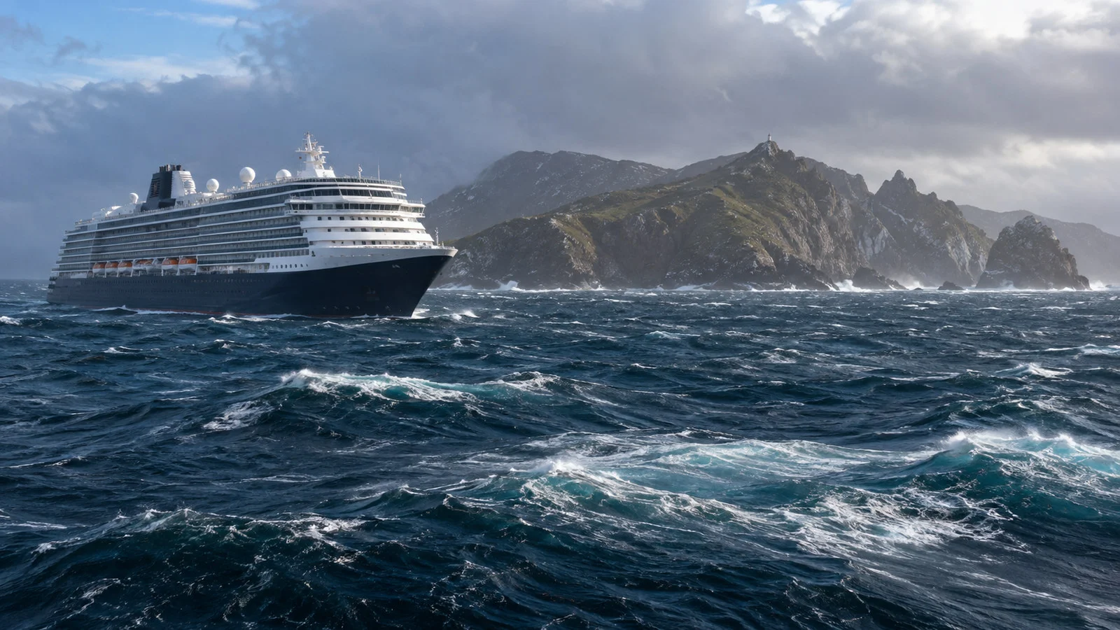
Large cruise ships generally provide a sail-by rather than an island landing. Smaller expedition vessels may carry the boats, staff, and flexible schedule needed for an attempt.
A printed itinerary cannot guarantee proximity, direction of approach, or landing. The master remains responsible for the ship, while Chilean authorities and expedition leaders control access and shore operations.
Cabo de Hornos National Park
Hornos Island is part of Cabo de Hornos National Park, administered by Chile’s CONAF. The official park page describes the area as the world’s southernmost national park and lists access by sea.
CONAF states that the park is about 12 hours by navigation from Puerto Williams and has no lodging, food, or ordinary emergency services. That remoteness is why a landing must be entirely self-contained.
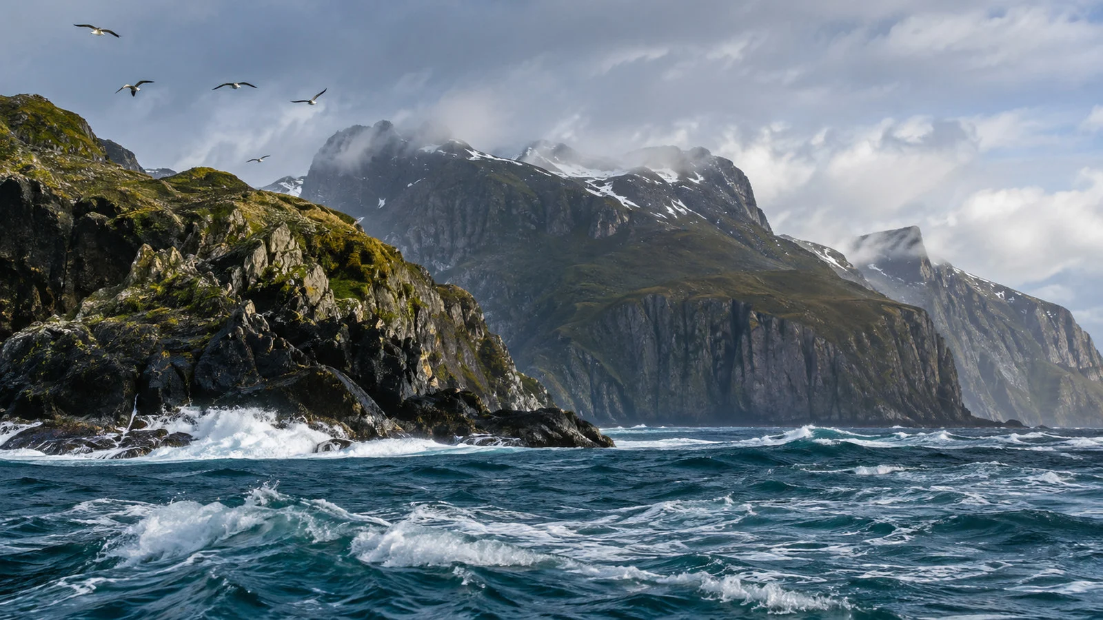
The park protects low forests, Magellanic tundra, coastal vegetation, seabirds, and marine wildlife. Visitors must remain on approved routes and leave natural material undisturbed.
CONAF prohibits fire, littering, wildlife disturbance, off-trail behavior, and unauthorized drones. Expedition staff may apply even stricter rules for the landing.
What happens during scenic cruising
The ship usually announces the expected viewing window, but weather and navigation can shift it. Be ready before the advertised time with warm clothing and camera protection.
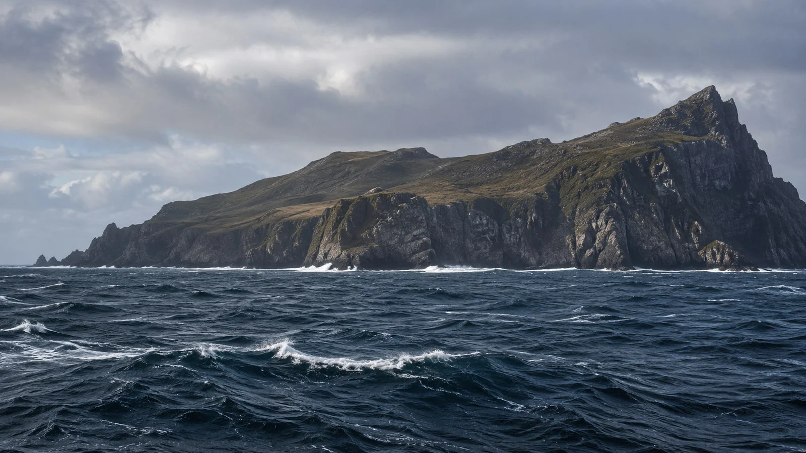
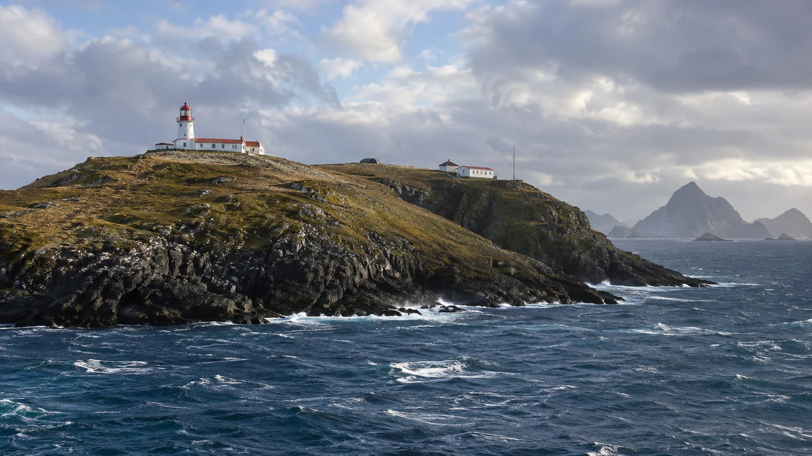
From the water, look for the island’s low outline, cliffs, lighthouse structures, and the memorial area. Cloud and spray can reduce visibility to brief openings.
Use outer decks only when they are declared safe. Hold railings, keep clear of crew work, and do not climb furniture for a photograph.
Indoor lounges and cabin windows can provide excellent views for passengers who cannot tolerate cold or deck motion. Ask which public spaces face the island during the approach.
Binoculars help more than a long checklist. The landmark may remain distant because safe ship handling matters more than a close photograph.
How an expedition landing works
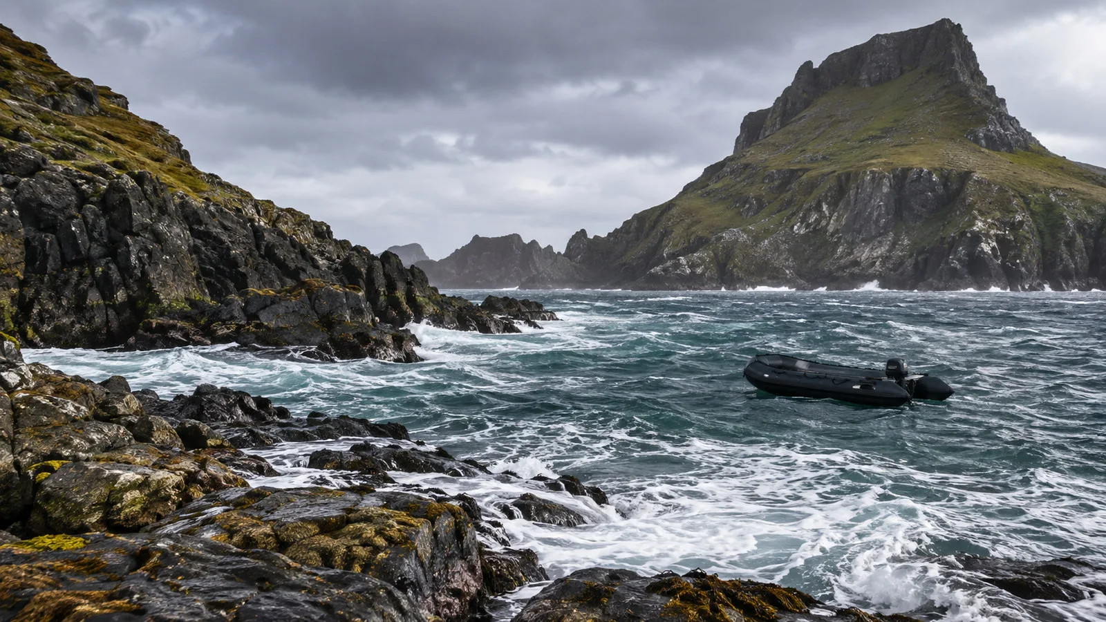
When the sea and wind allow, the expedition team may launch Zodiacs or other small boats and scout the landing first. Passenger operations begin only after staff confirm the route.
Boarding may require steps at the ship’s platform, timed movement with the swell, and a firm sailor’s grip from crew. Follow the demonstrated technique and keep both hands available.
The landing on Hornos Island uses a small boat facility rather than a marina. CONAF describes a pedestrian walkway of roughly 500 meters from the landing toward the lighthouse and viewpoint.
Wet ramps, stairs, boardwalk, and strong wind can make a short distance physically demanding. The crew may restrict participation based on conditions and passenger mobility.
Landing groups are often tightly timed because a safe weather window can close quickly. Do not leave the marked route or delay the return for one more photograph.
The lighthouse, station, and memorial
Chile maintains a maritime presence on Hornos Island, including lighthouse and naval functions. Respect operational areas and the privacy of personnel and families.
The albatross memorial honors sailors lost while attempting the passage around Cape Horn. View it as a place of remembrance rather than a photo prop.
A small chapel and other structures may be visible, but access varies. The expedition leader will state what is open for that landing.
Weather damage and maintenance can alter paths or structures. Do not use an old photograph as evidence that a route must be available.
The landing can be canceled at any stage
A landing may be called off before boats launch, after a scout boat checks the shore, or while early groups are already returning. That is normal expedition decision-making.
Wind at the ship and wind on the island can differ. Swell at the landing may also be unsafe even when the open-water ride looks manageable.
No responsible operator can publish a dependable success percentage for your specific voyage. Season, vessel, route, and daily weather create too many variables.
If the landing is canceled, do not pressure staff or compare the decision with a video from another trip. Safety and protected-area compliance outweigh the schedule.
Accessibility
Scenic cruising is the accessible way to experience Cape Horn because passengers can remain inside the ship. Ask guest services for a low-glare window or seated viewing area.
An island landing is among the least accessible cruise activities. Small-boat transfers, moving platforms, wet steps, wind, and uneven walkways create multiple barriers.
Wheelchairs and scooters usually cannot be used on the landing, though policies vary by vessel and conditions. Ask the expedition team before signing up.
Passengers who can walk but have balance, heart, or respiratory concerns should discuss the full sequence with staff. The short distance does not make the activity easy.
What to wear
Use a waterproof outer layer, warm insulation, hat, and gloves even during austral summer. Wind removes heat quickly on open decks and small boats.
For a landing, wear waterproof boots with good grip if the operator requires them. Tuck loose trouser cuffs and follow cleaning or biosecurity procedures.
Secure hats, glasses, and camera straps. Keep phones in a waterproof case attached safely to you.
Dress before the announcement rather than blocking corridors while the viewing window begins. Cape Horn conditions can change faster than a large group can organize.
Photography without creating risk
Set basic camera controls indoors before stepping onto the deck. Use a fast shutter speed for a moving ship, wind, and spray.
Keep one hand available whenever the deck moves. No image is worth losing balance or placing equipment beyond the rail.
Expect haze, low cloud, and water on the lens. A simple cloth and weather protection are more valuable than changing lenses outside.
Do not fly a drone from the ship or inside the national park without explicit authorization. CONAF’s default rule prohibits drones in the park.
Wildlife and the far-south ecosystem
Seabirds and marine mammals may appear around the archipelago, but no species sighting is guaranteed. Use binoculars and keep expectations realistic.
Never feed wildlife or demand that a small boat approach more closely. The expedition staff must manage both disturbance and passenger safety.
The Cape Horn Biosphere Reserve is especially important for subantarctic forests, peatlands, mosses, liverworts, and lichens. Small organisms deserve the same protection as more dramatic wildlife.
Clean boots and equipment when instructed to reduce the movement of seeds and organisms between landing sites. Biosecurity is part of responsible expedition travel.
Safety at sea
The waters around Cape Horn can be severe, but modern passenger ships use forecasting, routing, stabilization, and experienced bridge teams. The safest course may be farther from the island or through a different channel.
Use handrails, secure cabin items, and follow any deck closure. Seasickness medication works best when taken according to medical advice before symptoms become intense.
Never enter a closed deck for a better view. Wind can make exterior doors, loose objects, and exposed stairs dangerous.
Passengers with medical conditions should carry essential medication and tell the ship about relevant needs. Shore medical help is not available during a landing.
Return timing and recall
If you land, the expedition team’s recall time is absolute. Weather can require all boats to return sooner than planned.
Stay with the marked group and know the signal used for an immediate recall. Do not wait at the memorial after staff direct passengers downhill.
There is no independent later boat, taxi, or local accommodation. Missing the final Zodiac would create a serious emergency.
Counted groups and passenger checks protect everyone. Respond promptly when staff verify names or cabin numbers.
How Cape Horn fits a southern cruise
Cape Horn appears on Patagonia, Chilean fjords, and Antarctica itineraries. It may be a scenic waypoint, a landing attempt, or part of the route toward the Drake Passage.
Puerto Williams is the nearest major logistical base, while Ushuaia is a common embarkation port for Antarctica voyages. Neither makes Cape Horn a simple day trip.
Read itinerary wording carefully. Round Cape Horn, cruise Cape Horn, and attempt a landing describe different experiences.
Choose the voyage for the whole route rather than a guaranteed Cape Horn landing. Weather flexibility is part of travel at this latitude.
Quick answers
Will my ship dock at Cape Horn?
No. There is no cruise berth, so ships sail past or hold offshore while some expedition vessels attempt a small-boat landing.
Is a landing guaranteed?
No. Wind, swell, visibility, access rules, and the captain’s judgment can cancel it at any time.
What can I see from the ship?
Depending on distance and visibility, passengers may see Hornos Island, cliffs, lighthouse structures, and the memorial area. Binoculars help.
Is the landing accessible?
It is physically demanding and usually unsuitable for wheelchairs or unstable walkers. Scenic viewing from the ship is the accessible alternative.
Do I need money ashore?
No. There are no visitor shops or ordinary services on Hornos Island.
When is Cape Horn cruising most common?
Austral summer itineraries provide longer daylight and are the main cruise season. Severe weather remains possible in every month.
The last word
Cape Horn is powerful because the itinerary cannot tame it. A safe view from the ship is the core experience, while a landing belongs to conditions and careful judgment.
Follow current directions from the captain, expedition team, Chilean Navy, and CONAF. If conditions or access change after your voyage, our editorial policy explains how to send a correction.
More on this topic: browse every guide on expedition and alternative cruises.