Puerto Williams Cruise Port: Beagle Channel and Cape Horn Planning
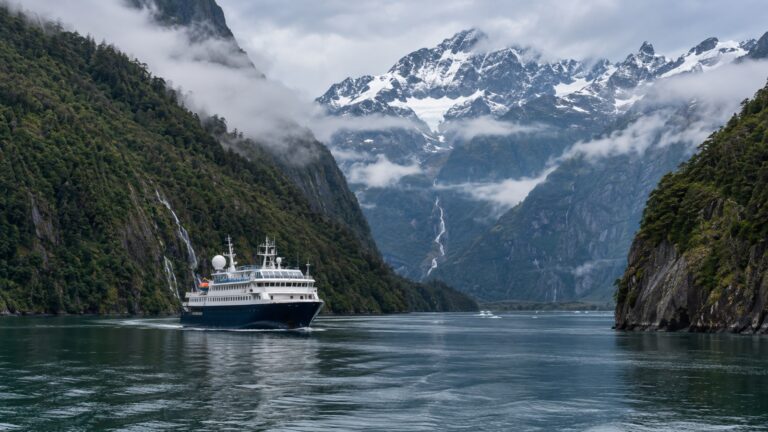
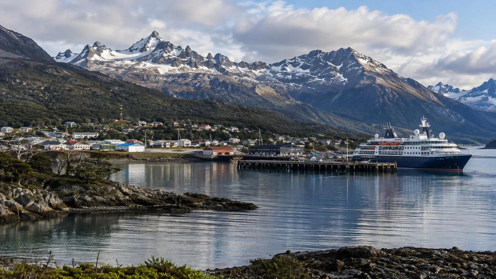
Puerto Williams sits on Navarino Island on the Chilean side of the Beagle Channel, facing Tierra del Fuego and the mountains behind Ushuaia. It is a small, weather-shaped community where port logistics matter more than a long sightseeing checklist.
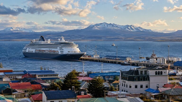
Cruise calls are usually made by expedition ships and smaller vessels, with either a berth or a tender landing depending on the ship and local arrangements. Confirm the day’s landing method before making any independent plan.
My quick take
Puerto Williams works best as a compact cultural and landscape call. Walk the waterfront, visit the local museum if it is open, and leave time to absorb the Beagle Channel setting.
Cape Horn is not a quick side trip from town, and the Dientes de Navarino is not a cruise-day hike. Treat both as specialist experiences that require far more time, weather margin, and preparation than a normal port call allows.
Puerto Williams quick facts
- Country: Chile
- Region: Magallanes and Chilean Antarctica
- Island: Navarino Island
- Waterway: Beagle Channel
- Typical cruise access: Direct berth or tender, depending on the vessel and port plan
- Town center: Close enough to explore on foot after landing
- Currency: Chilean peso
- Main cultural stop: Museo Territorial Yagan Usi – Martín González Calderón
- Major nearby wilderness: Cape Horn Biosphere Reserve and the Navarino Island mountains
- Best first check: Landing method, all-aboard time, weather, and any excursion changes
Arrival and port logistics
Puerto Williams is a working maritime community rather than a conventional cruise resort. Facilities have been developing, but passengers should not expect a large terminal complex, dense transport network, or rows of tour desks.
Some smaller ships can use port infrastructure directly, while others may anchor and transfer passengers by tender or Zodiac. The captain and local authorities decide what is safe and practical for that call.
A direct berth does not guarantee a step-free arrival. Gangway angle, tidal conditions, vessel design, and dock surfaces all affect accessibility.
If the ship tenders, attend the briefing and note whether tickets or assigned groups are used. Keep both hands free while boarding and secure hats, phones, and loose bags against the wind.
Photograph the landing place and the final return time when you go ashore. Puerto Williams is small, but multiple maritime facilities and a long waterfront can still create confusion.
Getting around town
Most of the central settlement can be explored on foot. Distances look short, but gravel, uneven edges, wind, and stops for photos can make a simple circuit slower than expected.
There may not be a taxi waiting when you need one, and local transport is not built around a sudden cruise crowd. Arrange any vehicle-based outing through the ship or a confirmed operator.
Carry a small amount of Chilean cash as backup, but use cards when accepted. Connectivity and payment systems can fail in remote places, so never depend on one method.
Public ferry and air services connect Puerto Williams with the wider region, but they are not useful backups for a cruise passenger who misses the ship. Their schedules, capacity, and weather exposure follow a different travel pattern.
A simple independent walking plan
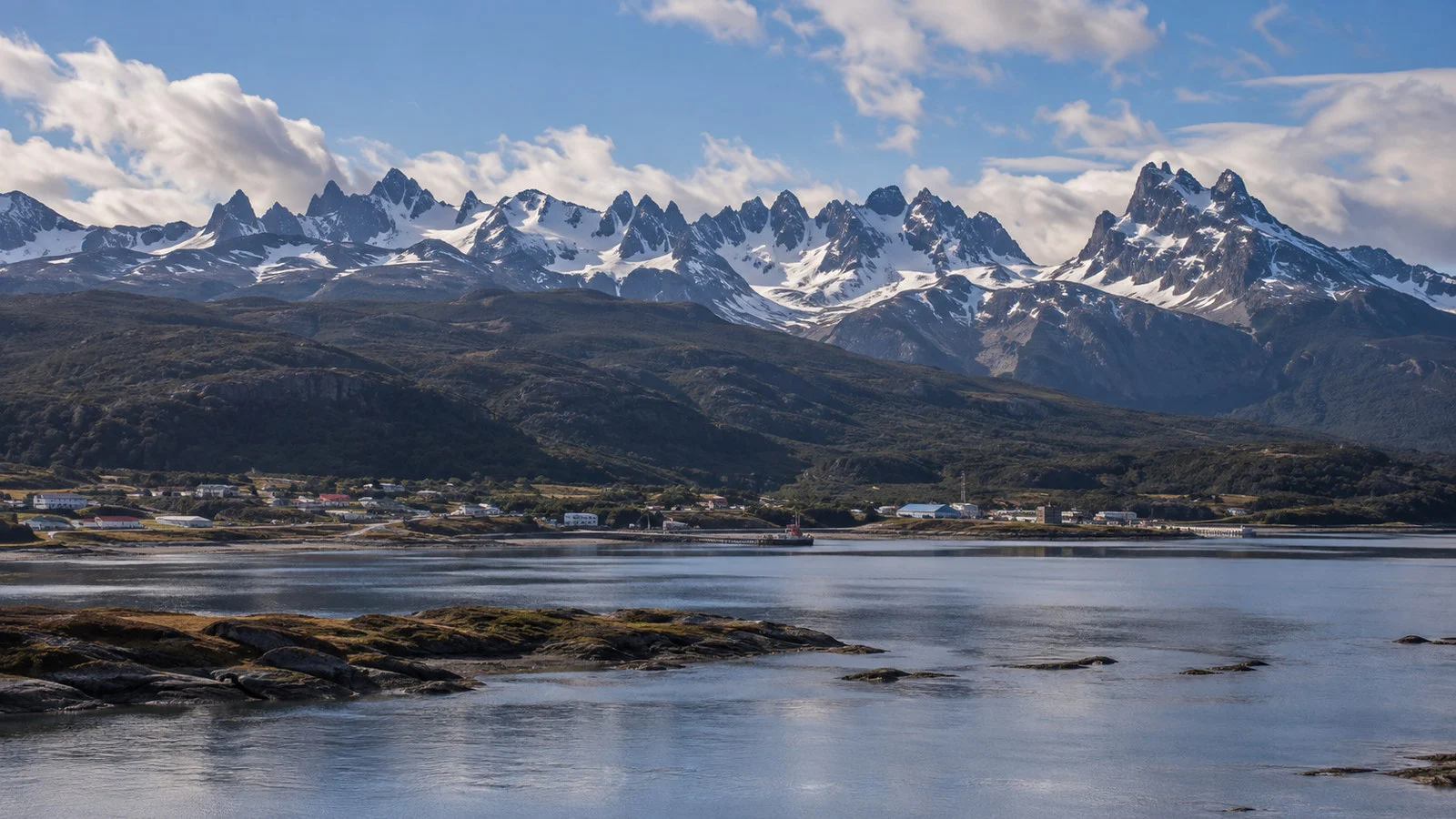
Start along the waterfront and orient yourself to the Beagle Channel, Navarino’s slopes, and the mountains across the water. The scenery is the defining attraction, even when cloud hides the highest ridges.
Continue toward the central streets and the local museum, then turn back through the waterfront with a generous time buffer. Add a café or short shoreline stop only after confirming the return route.
Do not measure the day by the number of attractions completed. Puerto Williams is better understood as a working settlement at the edge of a vast maritime landscape.
Museo Territorial Yagan Usi
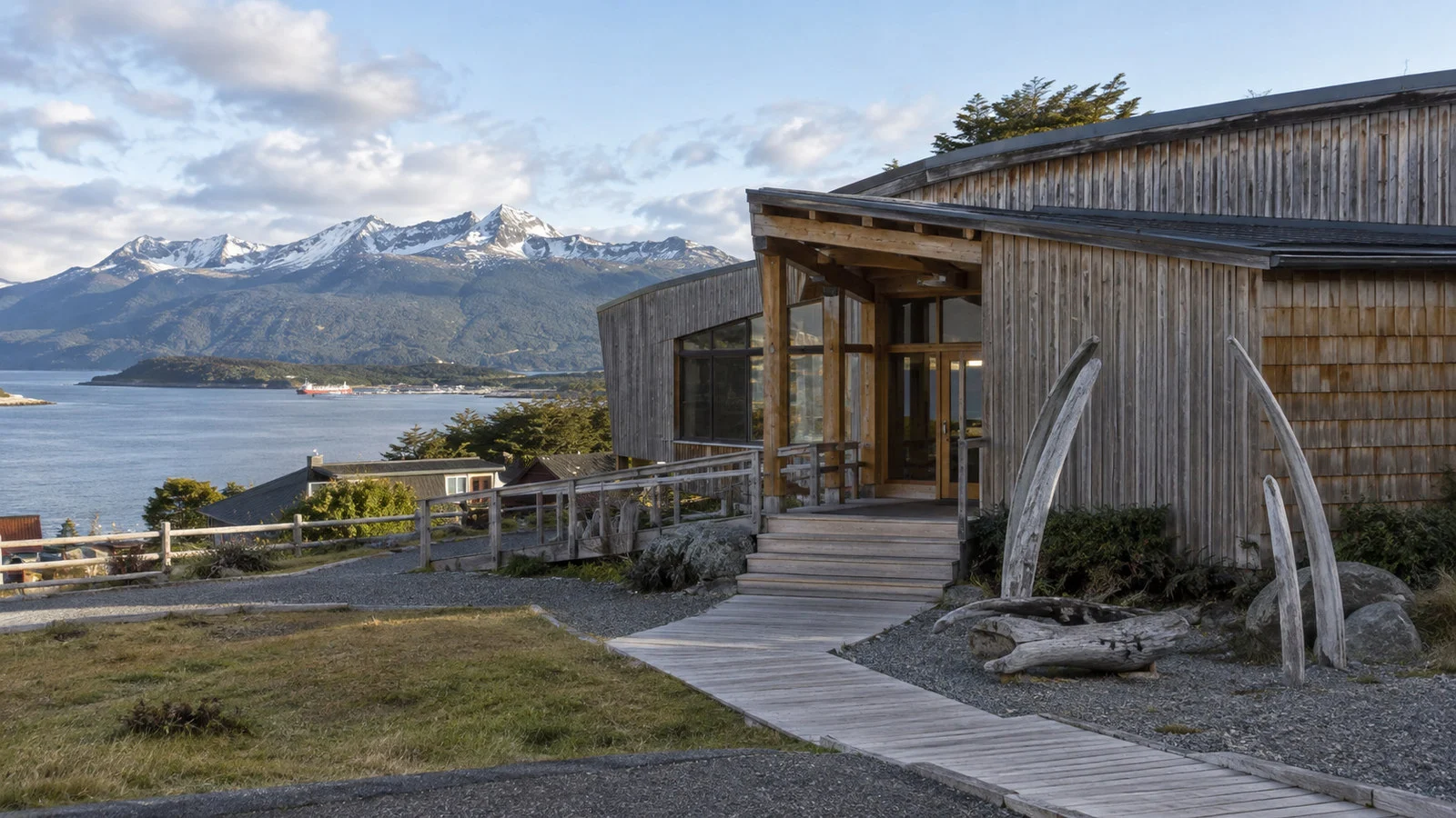
The former Martín Gusinde Anthropological Museum was renamed the Museo Territorial Yagan Usi – Martín González Calderón. Its renewed interpretation centers Yagan history, culture, navigation, and the continuing community rather than presenting Indigenous life only as a closed past.
Check the official museum site for opening information before walking over because hours and access can change. A cruise arrival does not necessarily mean every local institution will extend its schedule.
Approach the collections with respect and avoid treating Yagan culture as a novelty. Use the museum’s own language and interpretation, and ask before photographing people or restricted material.
Casa Stirling stands within the museum setting and adds a separate layer of missionary and regional history. Whether all spaces are accessible during your call depends on current operations.
Cape Horn is not an ordinary shore excursion
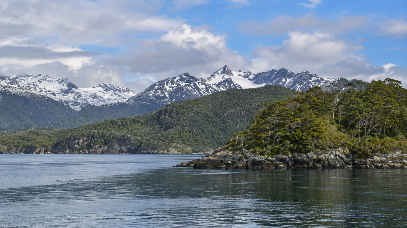
Cabo de Hornos National Park lies in the Hermite and Wollaston island groups, far beyond the Puerto Williams waterfront. Chile’s official CONAF page describes access by sea and notes roughly 12 hours of navigation from Puerto Williams.
That distance alone rules out an improvised round trip during a standard port call. Weather, landing permission, vessel capability, and the return to the cruise ship must all align.
Some expedition itineraries visit Cape Horn as a separate scheduled landing rather than as an excursion from Puerto Williams. Read the itinerary carefully so you do not confuse scenic cruising, a landing attempt, and an independent tour.
CONAF lists a small boat landing and a pedestrian walkway on Hornos Island, but strong wind and wet, slippery surfaces remain important hazards. A listed trail does not mean a landing is guaranteed.
If Cape Horn is your priority, use the ship’s operation or a specialist itinerary designed around the area. Do not book an informal small-boat promise that leaves no credible weather or return plan.
Omora and the miniature forests
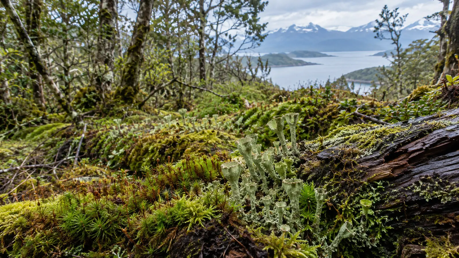
Omora Ethnobotanical Park is a research, education, and conservation site west of town within the Cape Horn Biosphere Reserve. Its best-known interpretive idea is observing mosses, lichens, and liverworts at close range.
This is a guided learning experience rather than a casual city park. Confirm whether visits are available, how transport works, what footwear is required, and whether the schedule fits the ship.
The forest floor can be wet and uneven even when the town streets seem dry. Waterproof footwear with grip is more useful than fashion shoes.
Never collect moss, plants, stones, or other natural material. Follow guide instructions and keep to approved routes because small organisms are easily damaged.
Dientes de Navarino and hiking reality
The Dientes de Navarino circuit is a remote, multi-day wilderness trek known for difficult navigation and rapidly changing weather. It is not a shore excursion and should not be attempted during a cruise call.
Even a shorter local trail requires a current conditions check, suitable equipment, and enough daylight and return margin. Do not rely on an old blog track or an offline map as your only plan.
Trails may be muddy, poorly marked, steep, or exposed. If the ship offers a guided walk, read the distance and elevation details rather than relying on a broad activity rating.
A waterfront and museum day is not a compromise when clouds cover the mountains. It is the safer plan and often the more meaningful introduction to the community.
Yagan history and respectful travel
The Yagan people have deep ties to the waterways and islands around the Beagle Channel and Cape Horn. Their knowledge, language, craft, and maritime traditions belong to a living community.
Choose interpretation led by or developed with the community when available. Avoid reproducing outdated claims that erase present-day Yagan identity.
Buy crafts only when the maker and origin are clear, and ask before photographing residents. A small town is not an open-air exhibit.
Spanish is the everyday official language, and a few polite phrases help. Patience matters because services are limited and cruise-day demand can be sudden.
Ship excursion or explore independently?
Explore independently for the waterfront, central streets, and museum when opening hours align. This keeps the day flexible and avoids paying for transport you may not need.
Use an organized excursion for Omora, a structured cultural program, a vehicle trip beyond town, or any boat activity. Confirm the operator, maximum group size, equipment, cancellation terms, and return commitment.
Cape Horn requires expedition-level planning and cannot be treated as a normal add-on. The same caution applies to promises involving long mountain hikes or multiple boat transfers.
If weather cancels the main outing, accept the town walk as the backup rather than searching for an unvetted last-minute substitute. Remote-port improvisation can add risk faster than value.
Accessibility and mobility
Tender boarding may be the largest accessibility barrier. Ask the cruise line whether mobility devices can be carried and what independent stepping or weight-bearing ability is required.
Central routes include paved sections, but gravel, uneven shoulders, curbs, and exposed waterfront conditions are common. A shorter out-and-back walk may be more comfortable than a full loop.
The museum should be contacted directly for current access details, including entrances and restrooms. Do not assume an older building or exhibit area is fully step-free.
Small boats, wilderness paths, and wet boardwalks may be unsuitable for travelers who need smooth surfaces or stable transfers. Ask for the exact physical sequence before booking.
Weather and what to wear
Puerto Williams has cool, maritime weather with frequent wind and fast changes. Even in the austral summer, bring a waterproof outer layer, insulation, and a warm hat.
Dress in layers so you can adjust between a heated interior, an exposed pier, and a boat transfer. Gloves can make a cold tender ride much more comfortable.
Use shoes with grip and water resistance. Polished surfaces, wet ramps, gravel, and muddy paths can all appear in one day.
Protect cameras and phones from spray and rain. Keep medication and essential documents in a waterproof pouch rather than a loose pocket.
Safety and responsible travel
The town is generally quiet, but normal travel precautions still apply. Keep valuables secure and follow any restricted-area signs around naval or port facilities.
Do not launch a drone without checking Chilean aviation rules, protected-area restrictions, port rules, and ship policy. CONAF prohibits recreational drone use inside Cabo de Hornos National Park without authorization.
Wildlife sightings are possible, but they are never guaranteed. Keep distance, avoid feeding animals, and follow the boat crew or guide if marine mammals or seabirds appear.
Medical and rescue capacity is limited compared with a major city. Travelers with essential prescriptions should carry enough medication for weather-related itinerary changes.
Return timing
Write down the all-aboard time and the final tender departure separately. They are not always the same, and ship time may differ from what a phone displays.
Return early if wind strengthens or the tender queue grows. A wide margin is sensible in a port where weather can change transfer procedures.
Do not rely on local ferry, flight, or road-and-boat connections to catch the cruise later. Once the ship leaves the Beagle Channel area, recovery can be difficult and expensive.
If an independent operator proposes a return close to the cutoff, choose a shorter plan. The best excursion is the one that gets you back without a race.
How Puerto Williams fits a southern itinerary
Puerto Williams may appear with Ushuaia, Punta Arenas, Cape Horn, the Chilean fjords, or an Antarctica program. Each stop has different landing and weather risks.
Unlike Ushuaia, Puerto Williams is not a large tourism hub with broad transport and shopping choices. Its appeal is scale, setting, cultural context, and proximity to the protected far south.
The town is the capital of Chile’s Antarctic Province, which helps explain its naval, administrative, and research role. That identity is more important to the visit than souvenir shopping.
Quick answers
Is Puerto Williams the world’s southernmost city?
Chile classifies Puerto Williams as a city and promotes it as the world’s southernmost. Ushuaia is much larger, so the title depends on the definition being used.
Will my ship dock or tender?
Either is possible for smaller vessels. Follow the ship’s instructions for the actual call because berth assignments, vessel size, and conditions determine the plan.
Can I visit Cape Horn during the port call?
Not as a casual independent trip. CONAF describes a long sea journey from Puerto Williams, and any landing depends on specialist operations and weather.
Is the town walkable?
Yes, the central waterfront and streets are compact. Uneven surfaces and wind can make the walk more demanding than the distance suggests.
Can I hike the Dientes de Navarino?
The full circuit is a serious multi-day trek and is inappropriate for a cruise call. Consider only a properly guided short walk that fits current conditions and the ship’s timing.
What should I prioritize on a short visit?
Choose the waterfront and the Museo Territorial Yagan Usi if it is open. Add a guided nature or cultural program only when transport and return timing are confirmed.
The last word
Puerto Williams is memorable because it remains a small working community in a vast subantarctic landscape. Give the town and its living Yagan culture more attention than the superlative on the map.
Keep the plan modest, respect the weather, and return early. Current directions from the ship, port, Chilean authorities, and protected-area staff always take priority.
If conditions or access change after your call, our editorial policy explains how to send a correction.