Chilean Fjords Cruise: Glaciers, Channels and Cape Horn
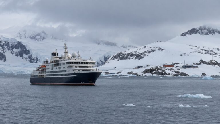
The phrase “Chilean fjords cruise” can describe two very different trips. Smaller expedition ships may use Zodiacs where conditions and permits allow, while larger ships usually focus on scenic cruising through navigable channels.
Both can be rewarding, but the itinerary needs to match your expectations. Ship size, channel restrictions, weather, permits, and the operator’s planned activities all shape what you can do.
My quick take
If Zodiac outings and possible landings are the priority, compare small-ship routes between Punta Arenas and Ushuaia. If Patagonia is one part of a longer South America itinerary, a larger ship can still deliver excellent scenic cruising.
Do not book a large ship assuming that it will launch small boats in the fjords. DIRECTEMAR publishes vessel limits and operating conditions for restricted passages, so each ship follows a route suited to its dimensions and the day’s navigation plan.
Treat a Cape Horn landing as weather-dependent, not guaranteed. Wind, swell, and conditions at the landing can turn the call into scenic cruising instead.
The quick facts
- Where this happens: the channels of Chile’s Magallanes region, from the Golfo de Penas to Cape Horn, plus the Beagle Channel shared with Argentina. Itineraries start or end at Punta Arenas, Ushuaia, Valparaiso or Buenos Aires.
- How you get ashore: expedition itineraries may use Zodiacs for cruising or landings where conditions permit. Larger ships usually treat the fjords as scenic cruising between conventional port calls, so read each activity description carefully.
- Who is driving: not your captain alone. DIRECTEMAR, the Chilean maritime authority, makes pilotage compulsory for inland waters between the Chacao Channel and Cape Horn, with two channel pilots aboard.
- Why ship size decides your route: DIRECTEMAR publishes hard limits per passage. Angostura Kirke takes about 492 feet maximum, Angostura Inglesa about 591 feet, Canal Gray about 755 feet, and several narrows are daylight-only transits in slack water.
- The Strait of Magellan: 330 nautical miles from Punta Dungeness to the Islotes Evangelistas, per DIRECTEMAR, and it saves about 375 nautical miles against the open ocean route round Cape Horn.
- Park entry: some protected areas require advance passes or reservations. Check CONAF and the official Pases Parques portal, then ask whether your cruise operator handles any required access.
- How often things get canceled: there is no dependable published rate. Individual landings and Zodiac outings depend on wind, swell, visibility, ice, and the expedition leader’s safety decision.
Two products, one brochure phrase
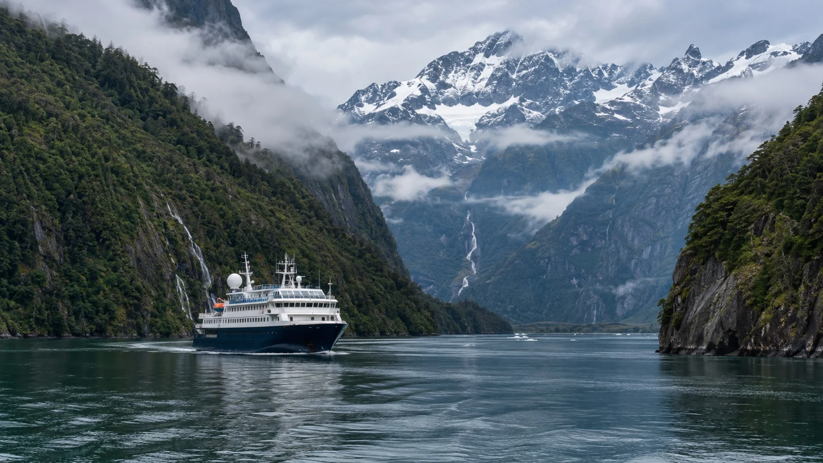
Some small-ship routes run four or five nights between Punta Arenas and Ushuaia in either direction. Included services, landing sites, and the number of Zodiac outings vary by operator, sailing, and conditions.
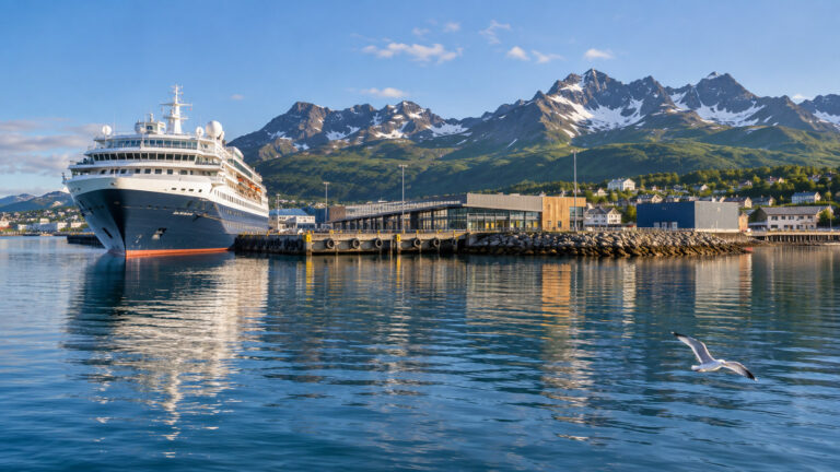
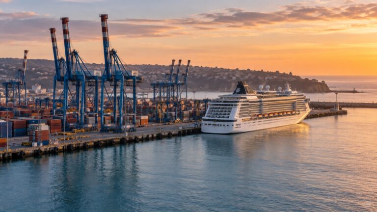
Large-ship fjord cruising is commonly part of a longer South America voyage between Chile and Argentina. Holland America, for example, lists the Chilean fjords and Glacier Alley in the Beagle Channel as scenic cruising rather than guaranteed landings.
On a larger ship, glacier views may first appear on one side before the vessel turns or continues along the channel. Follow the day’s announcements and use open decks when you want the widest view.
The set pieces, north to south
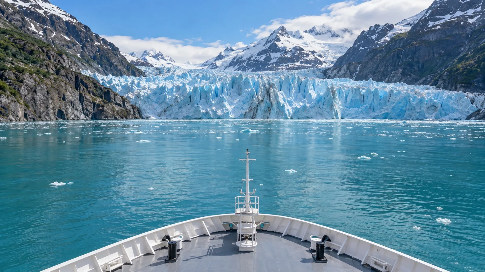
Amalia Glacier, reached from the Sarmiento Channel, appears on some larger-ship itineraries. Check the route description for whether it is a scenic pass, an approach, or only a named point on the schedule.
The ice here belongs to an enormous protected area. CONAF puts Bernardo O’Higgins National Park at roughly 13,614 square miles, Chile’s largest, reachable only by sea.
The Strait of Magellan is both a scenic passage and a working waterway. DIRECTEMAR’s navigation guidance describes strong tidal currents and special operating procedures in the narrows, which is why timing and pilotage matter.
South of that you are into the Beagle Channel and Alberto de Agostini National Park, roughly 5,637 square miles created in January 1965 and built around the Darwin Range. CONAF calls the glacier tongues spilling toward the western Beagle Channel the last Patagonian glaciers of the Pacific.
Pia Glacier appears on some small-ship itineraries, often with a Zodiac approach and a possible viewpoint walk when conditions allow. Garibaldi Fjord also varies by sailing, so check the specific itinerary rather than a general destination page.
Cape Horn, and why a landing is not guaranteed
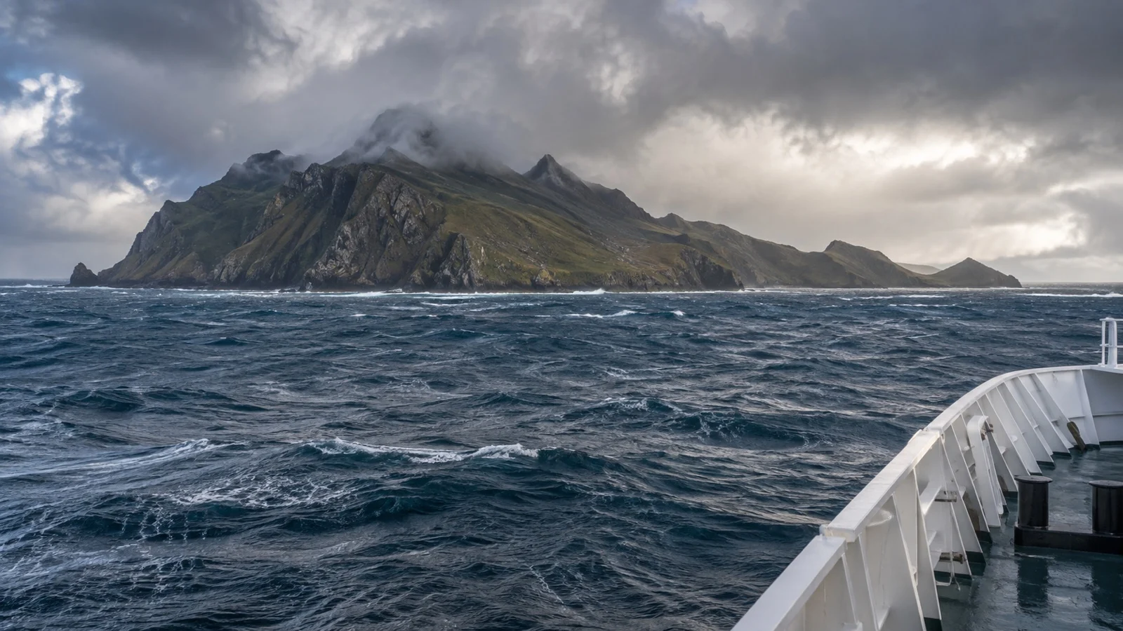
Cape Horn sits within Chile’s Cabo de Hornos National Park in the Wollaston archipelago. Access is remote, and cruise operations depend on maritime conditions and the day’s authorization.
When a landing is approved, the route uses a small landing area and exposed walkways toward the lighthouse and monument. The exact route and time ashore depend on local instructions and conditions.
CONAF’s own visitor notes describe a zone of strong winds and slippery walkways, and that is the whole problem in one sentence. Zodiac operations at an exposed rock in the Drake Passage approaches need a narrow combination of wind, swell and surge at the pier.
No dependable official landing-success rate is published, so treat percentages quoted without a source cautiously. When conditions prevent a landing, an operator may substitute scenic cruising, but the exact plan is sailing-specific.
If small-boat operations are new to you, the guide to how Zodiac landings work explains the boarding process before you book. The expedition leader can cancel an outing whenever conditions fall outside the operator’s safety limits.
The moments worth staying on deck for
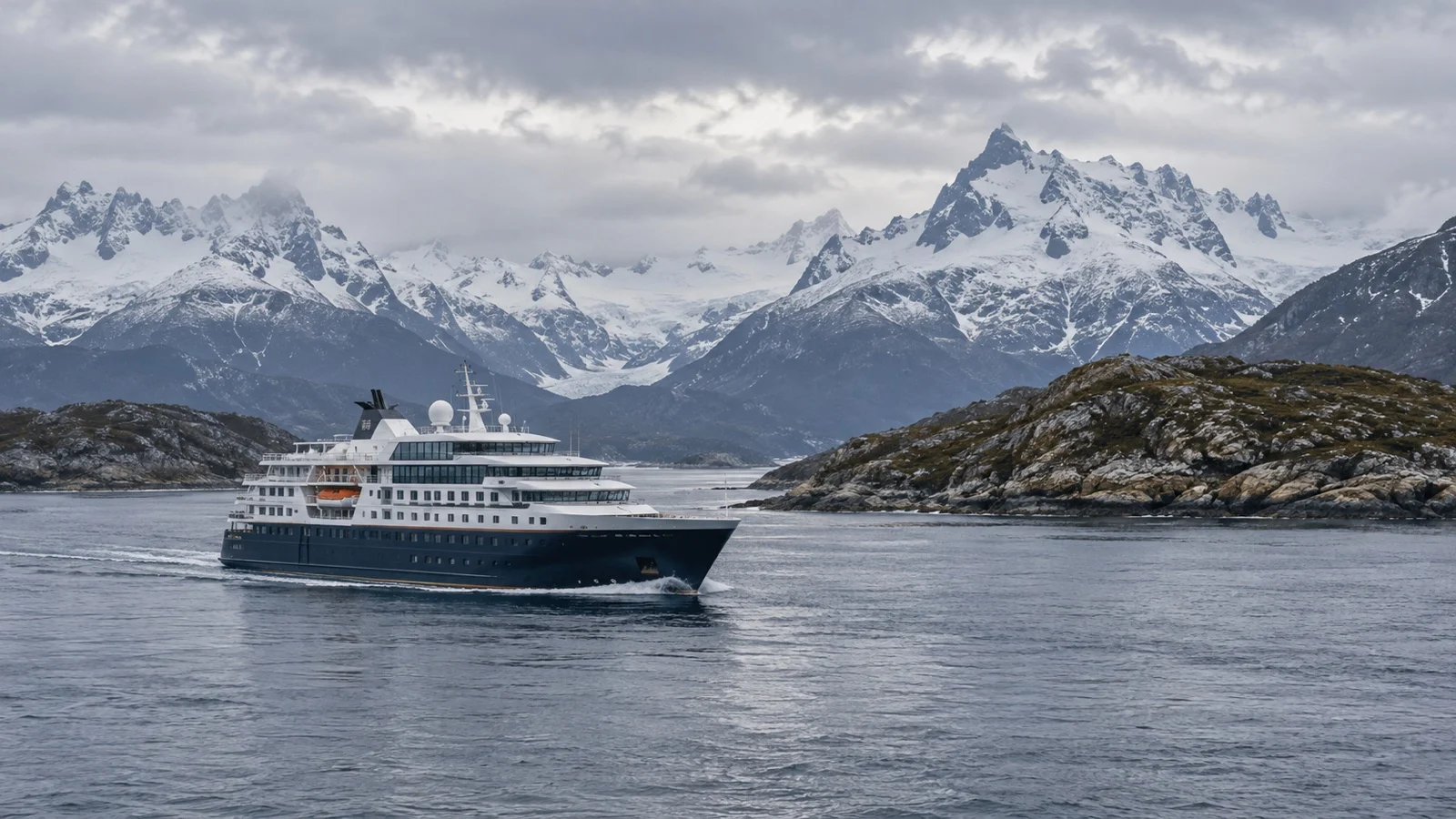
These are the passages most worth watching for in the daily program. Actual timing depends on the ship’s navigation plan, pilot guidance, weather, and traffic.
- Amalia Glacier: the big-ship set piece, approached off the Sarmiento Channel with the ship swinging slowly so both sides get a view. Go out early and stay out, because the approach through the channel is half the point.
- Glacier Alley, Beagle Channel: a run of hanging glaciers descending from the mountains on the northern shore. Visibility shapes the view, and the time spent there depends on the itinerary and conditions.
- Pia Glacier: some small-ship routes pair a Zodiac approach with a viewpoint walk when conditions allow. Ask the operator about the landing surface, incline, and whether walking poles are suitable.
- Wulaia Bay: a sheltered anchorage on Navarino Island with routes that may climb through forest to a lookout. Ask which trail is planned and expect weather to affect the surface.
- The First and Second Narrows: this is where the importance of compulsory pilotage becomes easy to understand. Watch the water as well as the shore, because current strength changes with the tide.
- Cape Horn: even without a landing, the pass marks the southern edge of the Tierra del Fuego archipelago where the Pacific and Atlantic systems converge. Conditions can change quickly in the exposed approaches.
Fun fact: Chile’s national tourism board, Chile Travel, counts more than 24,000 glaciers in Chilean Patagonia, holding 82 percent of South America’s ice. The glaciers visible from a ship are a small, itinerary-dependent sample of that much larger ice landscape.
How to choose the right itinerary
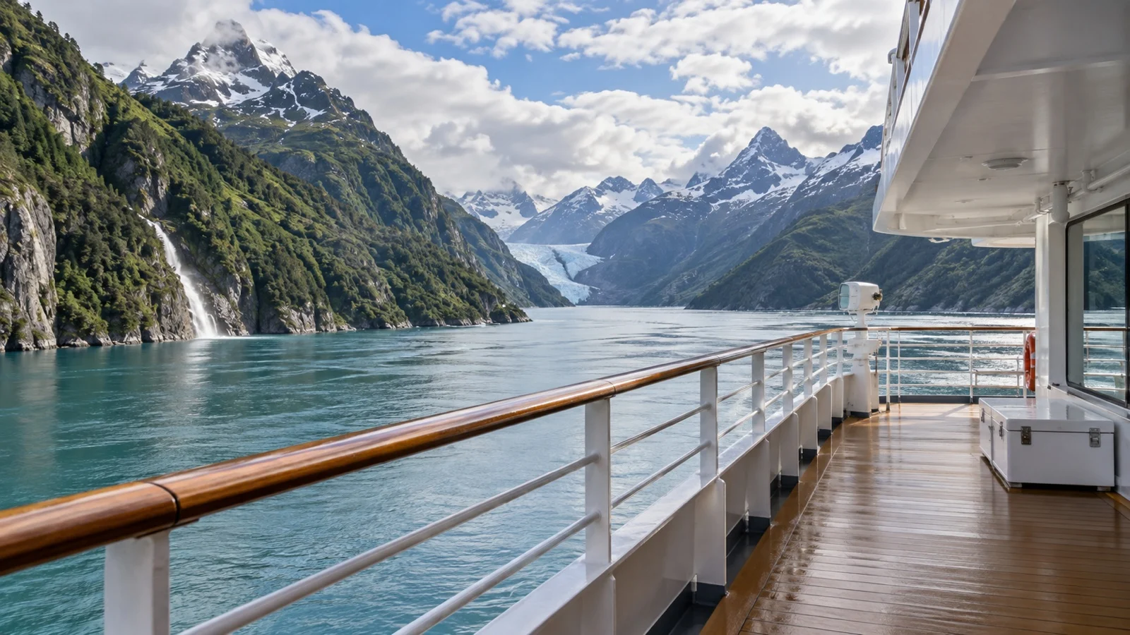
Start with a blunt question: do you want to touch the place, or look at it? Everything else follows from the answer, including the practical one, which is to read the itinerary for the words scenic cruising, because where they appear no boat is going in the water.
If you want small-boat outings, compare four- and five-night expedition routes between Punta Arenas and Ushuaia. Read each day carefully because the number of Zodiac operations and possible landings varies with the route and conditions.
If scenic cruising is enough, a larger ship can fit naturally into a longer South America itinerary. A balcony is useful, but open decks provide broader views and make it easier to switch sides.
A realistic word on accessibility
Scenic cruising on a larger ship can be more manageable than a Zodiac-based expedition because you can remain aboard. Actual access still depends on the ship’s viewing areas, elevators, doors, and weather-exposed decks.
The small-ship version is the opposite, and operators are usually honest about it. Getting into a Zodiac means a step down from a moving platform, and no crew can make that safe for everyone in swell.
Cape Horn can be a demanding landing because the route is exposed and may include an incline and slippery walkways. Ask the operator for the current distance, surface, and assistance limits.
If mobility is a concern, ask what happens when you cannot land and whether Zodiac cruising without a landing may be offered. Alternatives are not guaranteed, so request sailing-specific details in writing.
When to go, and the weather
The season is the southern summer, broadly October to March, with shoulder sailings either side depending on the line. DIRECTEMAR notes that December brings up to 20 hours of daylight in these waters, falling to about 6 hours in June, which is the real reason the winter product barely exists.
Punta Arenas is cooler than people expect. World Meteorological Organization normals for 1981 to 2010, published through the World Weather Information Service, give January averages of about 59 Fahrenheit by day and 44 Fahrenheit at night.
Ushuaia also stays cool in summer, and conditions across the region can change quickly. Plan for rain, spray, and wind instead of relying on a monthly average for one city.
The problem is wind, which is why every packing list here is really a windproofing list. DIRECTEMAR warns that all four seasons can be experienced in the same day, and ships plan around that rather than the breakfast forecast.
Separate scenic cruising from a possible landing
Cape Horn, glaciers, and narrow channels are weather-dependent experiences, and a route past a site does not guarantee a shore landing. Wind, swell, visibility, ice, pilot instructions, and protected-area rules can change the day even when the ship continues sailing safely.
Expedition ships may use Zodiacs and wet or rocky landings, while larger ships usually treat the fjords as scenic cruising from deck. Ask whether each highlight is a sail-by, small-boat outing, or landing, then confirm the step, seat, and mobility requirements before choosing the itinerary.
Chile and Argentina have separate entry and customs rules on itineraries that use Punta Arenas and Ushuaia. Check both governments for your passport, keep documents available for the operator, and follow CONAF and local rules on trails, wildlife, biosecurity, and drones.
Patagonian flights and roads are vulnerable to wind and weather, so arrive early and protect the final connection with a buffer night. On an independent port outing, use a firm turnaround time because a distant park or boat trip leaves little recovery margin if conditions slow the return.
Quick answers
Do big cruise ships actually go into the Chilean fjords?
Yes, but only along specific channels wide and deep enough for them, with compulsory Chilean pilots aboard. DIRECTEMAR lists route-specific vessel limits, including maximum lengths of 492 to 755 feet for several restricted passages.
Will I definitely land at Cape Horn?
No. Treat it as a possible weather-dependent landing, and choose the voyage only if scenic cruising would still feel worthwhile.
Is a balcony worth it on a Chilean fjords cruise?
A balcony can be useful on a large ship, especially during cold or early scenic passages. Open decks still offer the widest view and let you change sides as the scenery shifts.
How long is the Strait of Magellan?
330 nautical miles from Punta Dungeness to the Islotes Evangelistas, according to DIRECTEMAR. Taking it rather than rounding Cape Horn saves a ship roughly 375 nautical miles.
Is it rougher than the Drake Passage?
Generally no, because the channels are sheltered by islands for most of the route. The exposed stretches are the Golfo de Penas in the north and the run out toward Cape Horn in the south.
The last word
This is one of the few regions where the transit is better than the destinations, and where the ship’s route matters more than the ship. Read the channel names on the itinerary, not the adjectives.
If your voyage includes a big-ship glacier day, the guide to the Amalia Glacier passage explains how to plan the morning from the rail. The bookend ports are worth their own planning too, and Punta Arenas in particular deserves a day rather than an airport transfer.
At the other end, Ushuaia is a common starting point for Antarctic voyages and an endpoint for regional routes, so a clear transfer plan helps. For the wider picture of what else the coast offers, the Chile cruise ports overview is the companion piece.
Pack the waterproof pants you think are excessive. The one certainty in Patagonia is that the wind will find whichever part of you is least prepared for it.
How this guide was researched: Pilotage rules, channel restrictions, protected-area guidance, glacier context, operator descriptions, and climate information were checked against DIRECTEMAR, CONAF, Pases Parques, Chile Travel, cruise operators, and the World Weather Information Service on September 12, 2026. Confirm the live route, activity plan, entry rules, accessibility, and cancellation terms before travel.
See our Editorial Policy.
More on this topic: browse every guide on expedition and alternative cruises.