The Cruise Ports Where the Tide Sets Your Schedule
Most cruise schedules are set by the cruise line. In a small group of ports they are set by the moon, and the line just writes down what the tide table allows.
That is why your all-aboard time in Saint John is an odd number, not a round one.
My quick take
A tide-timed port is not a problem, it is a constraint you can read months in advance. The tide for your port day can be predicted years ahead, and it costs nothing to look up the current official table.
What I would do is check the time of high water before booking anything with a fixed departure. In Saint John, Saint-Malo or Bristol, that one lookup tells you whether a morning tour is realistic or wishful.
The thing I would not do is treat the arrival time printed in your cruise documents as final. In these ports it remains an estimate until local conditions and the pilotage plan are settled, and the ship will announce any operational change.
The quick facts
- What a tide-timed port is: a port where the ship cannot enter, berth or leave whenever it likes, because depth, current or a lock gate only cooperates for part of the cycle. The tide, not the itinerary planner, sets the window.
- Who decides: the harbor master and the local pilot, working from the same published predictions you can look at for free. Nobody gets to overrule the depth of water.
- The two numbers that matter: the time of high water and the height of the tide. Everything else about your day hangs off those two figures.
- How far ahead it is known: years ahead, because tides are largely astronomical. Use the current hydrographic table anyway, since local datums, dredging, and operating limits can change.
- What still moves it: wind and air pressure. An onshore gale can pile up an extra foot or two, and an offshore blow can take the same away, which is why pilots watch the live gauge too.
- What it costs you: short calls, strange all-aboard times, and excursions that only exist in one half of the day. It very rarely costs you the port.
Why the tide gets a vote on your port day
Four separate things go wrong when the water is at the wrong height, and only one of them is the obvious one. Depth under the keel is the famous constraint, and it is real, but it is seldom the binding one for a modern cruise ship.
Current is usually the bigger problem. A narrow river or harbor entrance can run several knots at mid-tide, which is manageable for a loaded freighter and thoroughly unpleasant for a 1,000-foot hull with the windage of an apartment block.
Air draft is the third, and nobody thinks about it. A ship that clears a bridge at low water may not clear it two hours later, and that sum is done to the inch.
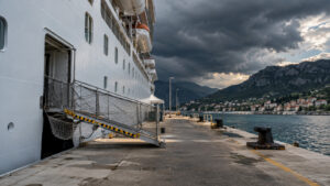
The fourth is the one you will actually notice. A gangway rigged at high water becomes a steep ramp at low water, which is why crews in big-range ports re-rig it or close it for a stretch in the middle of your day.
All of it runs on numbers anyone can read. NOAA’s Tides and Currents service publishes the official US predictions, and every maritime nation runs an equivalent.
Saint John, and the biggest tides on the planet
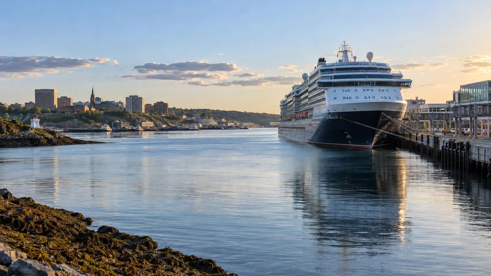
NOAA is blunt about this one. The highest tides in the world are in the Bay of Fundy, and Saint John sits at the mouth of a river that drains into it.
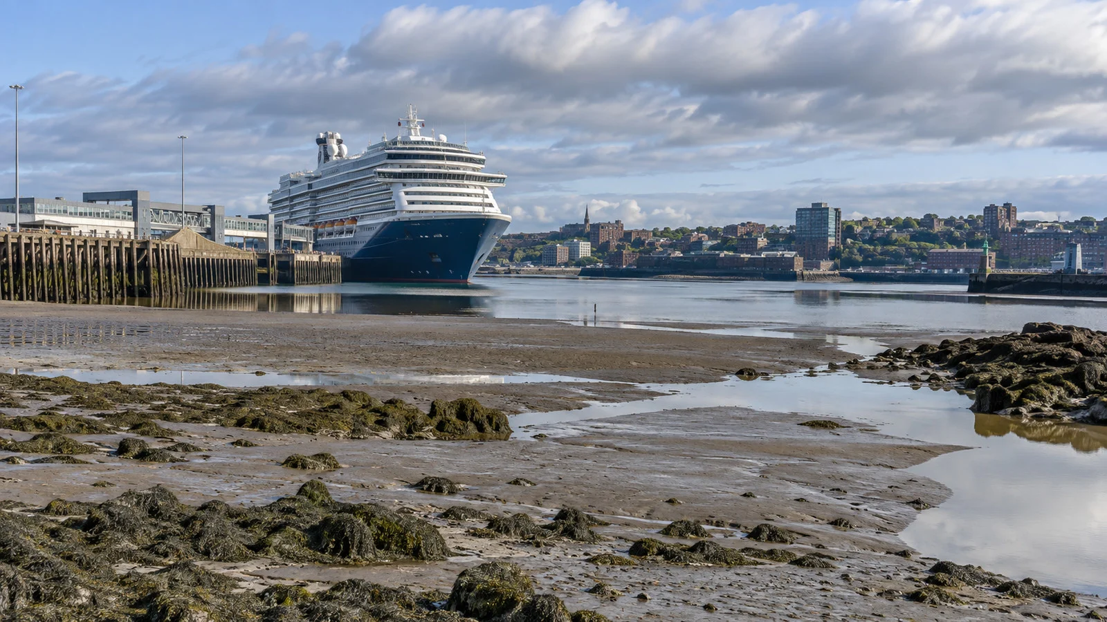
Look at the actual figures rather than the brochure adjective. The Canadian Hydrographic Service gauge at Saint John was predicting high water near 25 feet and low water near 3 feet on the days I checked, so about 22 feet of ocean arrives and leaves twice while you are ashore.
That is the whole explanation for the Reversing Falls, the rapids where the river meets the incoming sea. They are calm only for a short slack window a few times a day, and the honest operators publish those times.
My Saint John cruise port guide covers the berths and the walk into town, with the tide sitting quietly underneath all of it.
Hamburg and the long ride up the Elbe
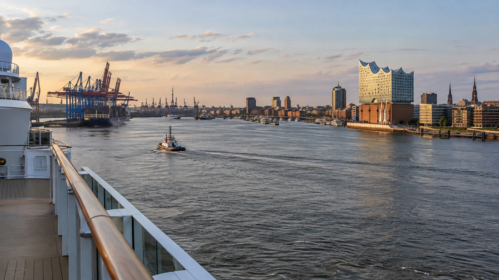
Hamburg is a sea port roughly 90 miles (145 kilometers) up a tidal river, and that single fact governs the shape of the call. The Port of Hamburg puts the average difference between high and low water at about 12 feet (3.66 meters) at the St. Pauli landing stages, with a tidal current through the city of roughly 2.5 knots.
Water rises for about six hours and falls for about six, so a ship coming in from the North Sea rides the flood upriver and leaves on the ebb. That is a fuel and safety decision rather than a preference.
The practical result is a call that often begins uncomfortably early and ends at an hour nobody would choose. Hamburg then spreads its ships across Altona, HafenCity and Steinwerder, and which berth you draw changes your walk into the city more than the tide does.
My Hamburg cruise port guide covers that terminal split. Layer the tide on top of it and you have your real schedule.
Saint-Malo, Bristol and the ports that sit behind a gate
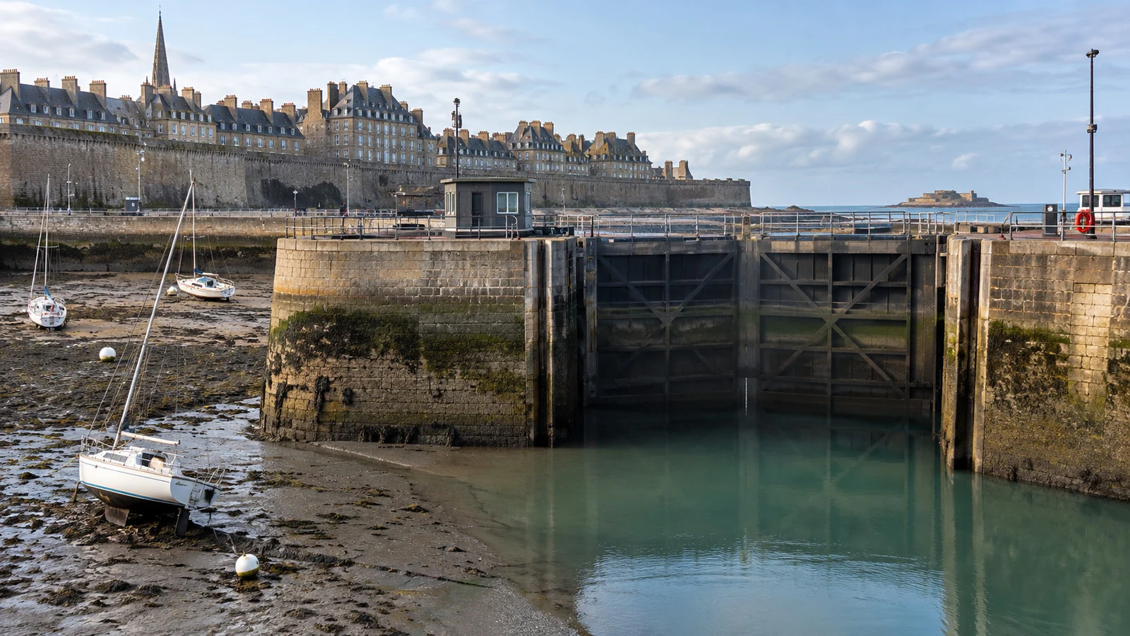
Brittany and the Severn estuary carry two of the largest tidal ranges in Europe, and both solved the problem with gates. Water is trapped in a basin near high tide so the boats inside stay afloat long after the sea outside has walked off toward the horizon.
Saint-Malo is the version most cruisers meet, because big ships anchor off and tender in. The ride, the landing pontoon and the climb to the ramparts all change character depending on where the tide sits.
Bristol is different again, since cruise calls use Avonmouth or Royal Portbury rather than the old city docks. Ships lock in and out there, and a lock schedule is a tide schedule wearing a uniform.
Antwerp and Zeebrugge get folded into the same story and mostly should not be. Port of Antwerp-Bruges notes that Zeebrugge on the North Sea and Antwerp on the Scheldt both take vessels with nautical drafts up to about 52 feet (16 meters).
Zeebrugge’s cruise berths sit out in the western outer harbor, at the Albert II dock and the Leopold II dam, so no lock is involved in your day at all. Antwerp’s cruise ships tie up on the tidal Scheldt in the middle of the city, which is why the gangway angle wanders while nothing else about the berth changes.
Puerto Madryn and the Amazon: shallow, not high
Not every water-level port is a tide port. Puerto Madryn sits on a gulf that shoals very gently, which is why its commercial pier reaches so far out from the beach before it finds usable depth for a cruise ship.
The range there is modest by Fundy standards, but it still runs the wildlife day. Sea lion and shorebird viewing along the gulf shore is a low-water activity, and a fixed morning departure often exists only because that is when the water is out.
My Puerto Madryn port guide covers the pier and the long walk at the end of it. Ask the excursion desk which half of the day the coastal tours are timed to.
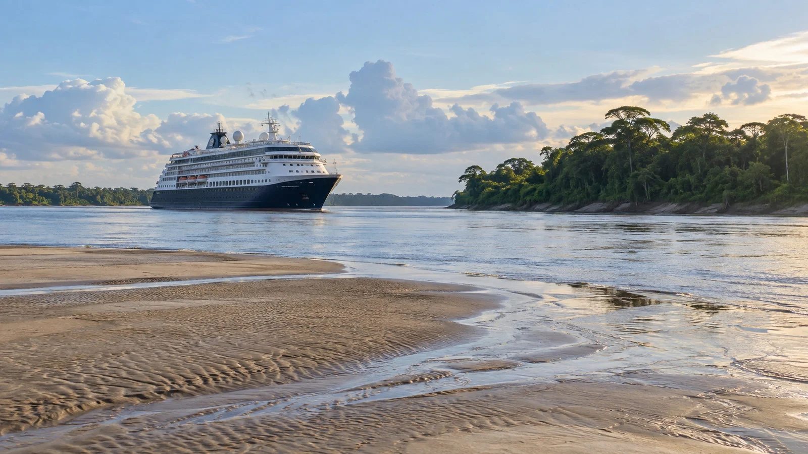
The Amazon is the opposite case, a seasonal river level rather than a twice-daily tide, and it behaves much more like the month-by-month water levels on Europe rivers. The Port of Manaus publishes the Rio Negro gauge every single day, and it read about 81 feet (24.65 meters) on the afternoon I looked in late August 2026.
That reading swings by tens of feet between the June high water and the October low, which is why Manaus works from a floating harbor rather than a fixed quay. Farther downstream at Santarem and Belem the Atlantic tide is still felt, hundreds of miles inland.
The things I would actually do about it
- Look up high water before you book a tour: use the national hydrographic service, not a fishing app. Two minutes tells you which half of the day your port is actually usable.
- Book the ship’s excursion in the hardest cases: in Saint-Malo or a remote Amazon call, the cruise line’s published late-return assistance applies to its own tour and not to an independent one. That can be worth the price difference when the transport window is narrow.
- Read the all-aboard time as a hard number: in a tide port it is not padded, because the pilot has a slot and the slot does not wait. A strange all-aboard hour is a hint that the tide is driving the call.
- Ask about the gangway, not just the berth: at large-range ports the crew may close and re-rig it partway through the day. If you have a mobility issue, that fifteen minutes matters.
- Check whether your call is anchor or alongside: tidal ports flip between the two more often than steady ones, and tendering adds its own weather sensitivity on top of the tide.
Fun fact: NOAA points out that of the fifty largest tidal ranges on earth, only two sit in the United States, and both are in Alaska: Sunrise on Turnagain Arm at 30.3 feet and Anchorage’s Knik Arm at 26.2 feet. So the most extreme tide an American cruiser is likely to stand beside is out the window of a bus on the Seward Highway.
How I would actually decide
If a tide-timed port is the headline stop of your cruise, I would look at the published arrival and departure times before I paid the deposit. A six-hour call in Saint John is a different vacation from a ten-hour one, and that gap is worth weighing when you choose between sea days and a port intensive itinerary.
Where I would be careful is an independent tour with a fixed start and a long drive attached. In a tide port the departure has less give in it than usual, and a late bus is not a problem the captain can solve.
A realistic word on accessibility
Big tidal range is the single most underrated accessibility issue in cruising, and almost nobody warns you about it. The gangway that was flat when you left the ship at nine can be a noticeable slope by two in the afternoon, which is the whole subject of my piece on how gangway angles shift in tidal ports.
At a fixed quay the slope changes all day and the crew adjusts as best they can. At a floating pontoon it is the ramp from the pontoon to the shore that steepens instead.
What I would do is ask guest services the night before for the time of low water, and whether the gangway will be re-rigged during the day. That is a closure of ten or twenty minutes that nobody announces.
When to go, and the weather
Tides do not have a season, but they do have a rhythm worth knowing. Spring tides, the biggest ranges, come a day or two after each new and full moon, and neap tides, the smallest, fall in between.
For seasons, the Canada and New England run is May through October, with the big crowds and the best color in late September and October. Expect highs in the 60s and 70s Fahrenheit in summer and the 50s by foliage season, plus Fundy fog that has nothing to do with the tide.
Northern Europe runs roughly April to September, with Hamburg and Antwerp in the 60s and low 70s at the peak. Puerto Madryn flips the calendar, since the Patagonian whale season runs through the southern winter and spring.
Quick answers
Can the tide actually cancel a port call?
Almost never on its own, because tides are predictable and the schedule is built around them. What the tide does is shorten or shift the call, and it is wind, swell or fog on top of it that turns a short call into a missed one.
Where do I find the tide table for my port?
Use the national hydrographic service rather than a weather app, since those are the predictions the pilots use. NOAA covers the United States, the Canadian Hydrographic Service covers Canada, and most European countries publish theirs free.
Why is my all-aboard time such an odd hour?
Because it was worked backward from a pilot slot or a lock opening, both of which are set by the tide. Round numbers come from marketing, and strange ones usually come from hydrography.
Does a bigger ship mean more tide restrictions?
Usually yes, because deeper draft, taller air draft and more windage each narrow the window. It is one reason small ships get longer calls in places like Saint-Malo and the upper Amazon.
Should I book the ship’s excursion in a tide port?
In the extreme ones I would, and I say that as someone who normally books independently. The cruise line’s stated late-return assistance applies to its own tours, and where the departure window is fixed by water depth that protection can be worth paying for.
The last word
Tide-timed ports are the closest thing cruising has to an honest constraint, because the numbers are public, permanent and free. Nobody is hiding anything, they are assuming you will not look.
The one place tides do turn into a genuine cancellation risk is a tender port, where a big range and a rising swell interact badly. My piece on what happens when rough seas delay or cancel tendering is the companion to this one, and Saint-Malo is exactly where the two problems meet.
The Saint-Malo port guide is the clearest single example on the site, since the tide there governs the anchorage, the tender and the beach walk at once. Check the table, note the hour, then stop thinking about it, because the moon has been keeping this appointment for a very long time.
How this guide was researched: Unless a first-hand visit is explicitly identified above, this guide is based on independent research using official port, tourism, transit, government, and attraction sources where available. Tidal range and prediction data were checked against NOAA Ocean Service and NOAA Tides and Currents, the Canadian Hydrographic Service station at Saint John, and the Port of Hamburg’s own tide information; draft and berth details were checked against Port of Antwerp-Bruges and the Port of Manaus river gauge; logistics and time-sensitive details were reviewed in September 2026; see our Editorial Policy.
More on this topic: browse every guide on weather, crowds and conditions.