Saint-Malo Cruise Port: Tenders, Tides and the Ramparts
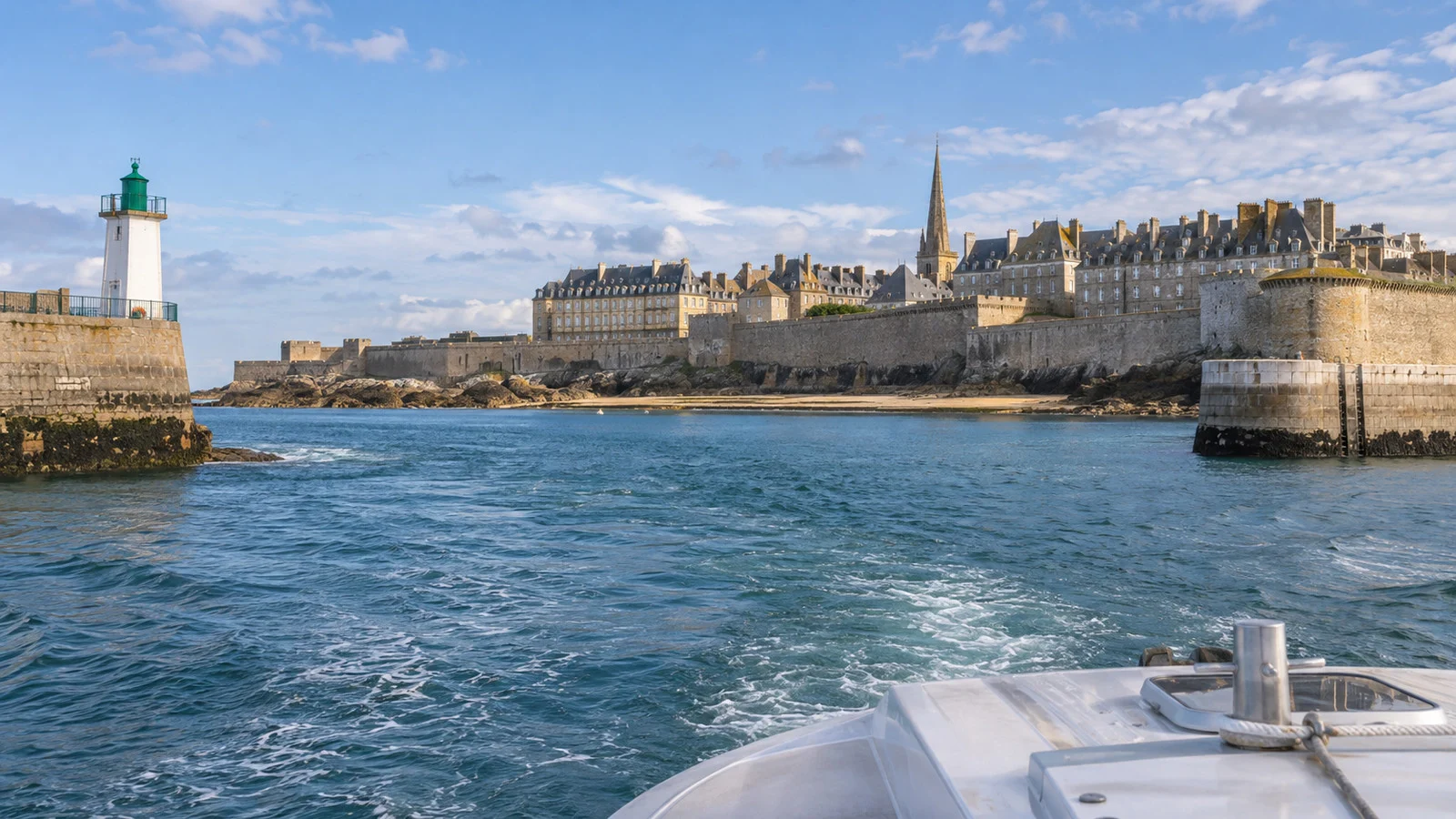
Saint-Malo puts the walled city almost at the water’s edge, which makes it one of northern France’s most rewarding cruise calls. Whether the ship docks or tenders, passengers normally arrive at the foot of the granite ramparts.
The day’s true schedule is the tide. Check it before deciding whether Fort National, Grand Bé, Dinard, or Mont-Saint-Michel belongs in the plan.
Quick Facts
- Destination: Saint-Malo, Brittany, France
- Main arrivals: Gare maritime de la Bourse or Quai Vauban
- Dock or tender: Ships under 150 meters can use the quay, while vessels up to 250 meters use offshore moorings
- Into town: The gates of the walled city are only a short walk from the landing
- Main sights: Ramparts, old town, cathedral, beaches, Fort National, and Grand Bé
- Currency: Euro
- Time zone: Central European Time, with daylight saving in season
- Best simple plan: Ramparts, old town, tide-safe shore walk, and lunch
- Long excursion: Mont-Saint-Michel, preferably through the ship
- Accessibility: Easy waterfront access but difficult cobbles, rampart stairs, tender steps, and tidal surfaces
- Safety rule: Never cross a tidal causeway against local warnings or closure signs
How the cruise arrival works
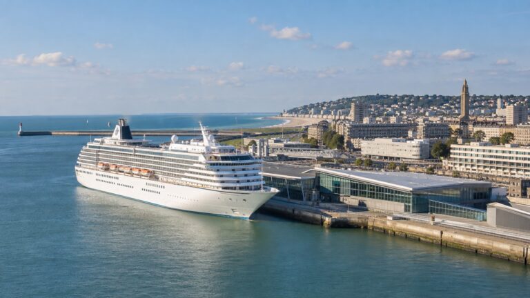
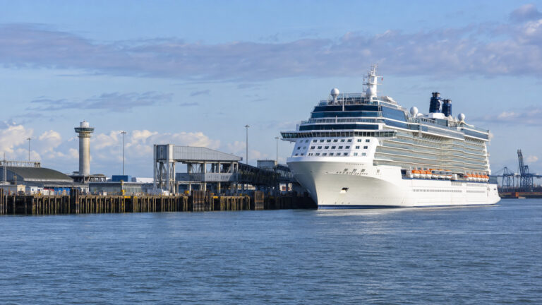
The Saint-Malo and Cancale port authority says the harbor can receive four cruise ships at once. Vessels under 150 meters can berth at the quay, while larger ships up to 250 meters use offshore moorings.
The port identifies the Gare maritime de la Bourse and Quai Vauban as passenger arrival points beside the ramparts. That location makes the old town genuinely convenient even when the call begins with a tender.
An alongside ship offers the simplest route, but the exact gangway and controlled walking path still matter. Follow the crew rather than cutting through ferry or working-port areas.
A ship on an offshore mooring uses tenders, and the transfer can be slowed by queues, sea conditions, and loading needs. Do not book a fixed independent departure based only on the scheduled arrival time.
Photograph the all-aboard notice and note whether the final tender leaves earlier than the published ship departure. Weather can change tender operations after passengers go ashore.
How close is the walled city?
The old town, known as intra-muros, begins only a short walk from the cruise arrival area. Porte de Dinan, Grande Porte, and Porte Saint-Vincent provide different entrances depending on the landing and route.
The streets inside are compact, but granite paving, steps, slopes, and crowds slow progress. The town is easy to explore without transport, though not every route is easy for wheels or limited mobility.
Start by orienting yourself from the ramparts or the waterfront. The harbor, beaches, offshore forts, cathedral, and tidal islands make more sense once seen together.
Keep a simple route back to the landing. Similar stone gates and narrow streets can become less distinctive when the final tender is boarding.
Why the tide controls the day
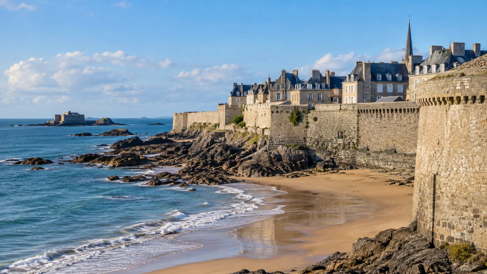
Saint-Malo has a dramatic tidal range, and the shoreline can change completely between morning and afternoon. Sand, rocks, and causeways visible at low water may disappear beneath the sea later.
Check the City of Saint-Malo’s official tide access windows, local boards, and the ship’s port briefing. Printed advice about a generic safe window cannot replace conditions and instructions on the day.
Fort National and Grand Bé are reached on foot only when the route is exposed and officially open. Turn back immediately when staff, signs, flags, or conditions indicate that access is closing.
Do not judge safety by watching another visitor cross. That person may be returning, may know the local timing, or may simply be making a poor decision in public.
Plan the tide-dependent stop first, then fit the old town and lunch around it. The cathedral and ramparts will remain where they are, while the path across the sand will not.
Walking the ramparts
The rampart circuit is Saint-Malo’s best first experience. It gives wide views over the harbor, beaches, forts, estuary, and dense slate roofs of the old town.
Access is free, but the route involves stone stairs, uneven surfaces, narrow points, and exposed edges. There is no single level elevator route for a complete circuit.
Start early when possible, especially in summer or on a multi-ship day. Crowds can turn a relaxed walk into a slow procession along narrow sections.
A partial rampart walk is enough to understand the city. Descend at a convenient gate rather than forcing the full loop when wind, knees, or the clock argues otherwise.
Inside intra-muros
Saint-Malo was heavily damaged during World War II and rebuilt in a way that preserves its historic character. The result feels old and cohesive without being an untouched medieval stage set.
Saint-Vincent Cathedral, quieter side streets, granite facades, markets, and small squares provide the strongest interior route. The main shopping streets are lively but repeat many of the same souvenirs.
Walk a few blocks beyond Porte Saint-Vincent before choosing lunch. Restaurants closest to the busiest gate often trade convenience for price and atmosphere.
Leave room for oysters, seafood, buckwheat galettes, or salted-butter caramel. Confirm service speed before sitting down during a short tender call.
Fort National
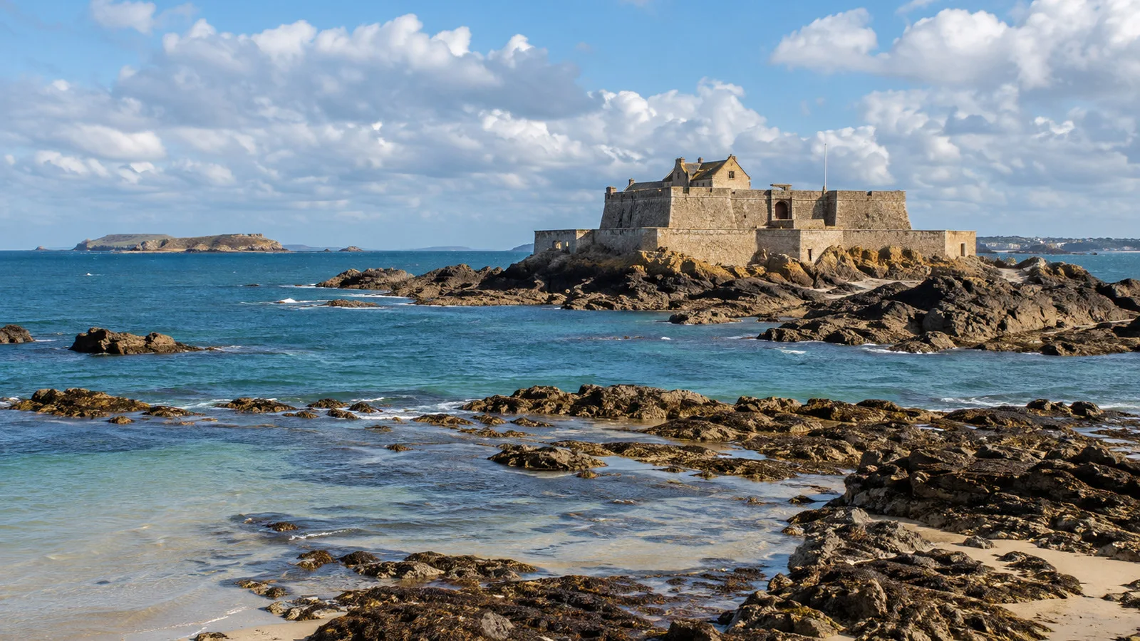
Fort National stands on a tidal rock off Plage de l’Éventail. Built to defend the harbor, it is one of the city’s most striking views from the walls.
Access depends entirely on the tide, weather, and daily opening decision. Do not rely on a fixed online time without checking conditions when you arrive.
The crossing involves sand, wet rock, seaweed, and changing water. Wear shoes with grip and return well before the route becomes marginal.
A closed fort is still worth seeing from the beach or ramparts. The tide turning it back into an island is part of the experience rather than a planning failure.
Grand Bé and Chateaubriand’s grave
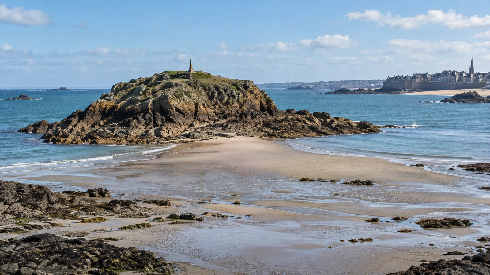
Grand Bé is another tidal island, reached from the beach near the western side of the old town. It holds the grave of writer François-René de Chateaubriand facing the sea.
The walk crosses exposed sand and rock only at safe tide. The surface can be slick, and the return may look more urgent than the outward crossing did.
Follow local signs and allow far more margin than the minimum. If there is any doubt, appreciate Grand Bé from the ramparts and keep dry shoes for lunch.
The Dinard sea bus
Dinard lies across the Rance estuary and offers Belle Époque villas, coastal walks, beaches, and a quieter resort atmosphere. The sea bus is often the most enjoyable way to add a second town.
Compagnie Corsaire advertises a ten-minute crossing from Cale de Dinan at the foot of the Saint-Malo ramparts. It publishes seasonal service rather than year-round departures.
Check the current timetable, weather, and return sailings before boarding. Choose an earlier return than the last possible boat and know the road alternative if service stops.
The sea bus works best after the ramparts or on a long call. Do not use it to fill a final hour when the ship is tendering and the last tender queue is unknown.
Should you visit Mont-Saint-Michel?
Mont-Saint-Michel is possible from Saint-Malo on a long call, but it consumes most of the day. Road travel, parking transfer, the approach, crowds, security, and the climb to the abbey all add time.
Keolis Armor publishes seasonal direct coach service from Saint-Malo to Mont-Saint-Michel. The 2026 service page lists a season from late March to early November.
A public coach schedule may not fit the ship, especially when tenders are involved. Confirm tickets, departure point, arrival time, and the return before treating it as a cruise-day option.
The ship excursion is the safest choice when Mont-Saint-Michel is the main reason for booking. It coordinates transport and communicates directly with the vessel if traffic or operations change.
Stay in Saint-Malo on a short call. The walled city provides enough history, views, food, and tidal drama without spending hours on a coach.
Dinan, Cancale, and other excursions
Dinan offers a preserved old center above the Rance and works well as an organized half-day excursion. Its slopes and cobbles make the activity level more demanding than a simple town-tour label suggests.
Cancale is closely associated with oysters and the same dramatic tides that shape Saint-Malo. A vehicle is required, and the excursion should preserve enough time to return through coastal traffic.
Private tours can work on a long alongside call, but confirm the exact gangway and return buffer. A driver who understands cruise operations is more valuable than one promising the maximum number of villages.
Do not combine Mont-Saint-Michel, Dinan, and Saint-Malo in one ordinary port day. That itinerary produces many windows and very little place.
Accessibility
An alongside berth offers the easiest arrival, while a tender requires stepping between moving vessels. Sea conditions can make that transfer unsuitable even when a wheelchair or scooter can be stored.
Ask the cruise line about tender eligibility, gangway steps, crew-assistance limits, mobility-device storage, and the distance from landing to the gate. Do not assume that a short tender ride is a simple transfer.
The waterfront and some lower streets are relatively manageable, but intra-muros has cobbles, curbs, slopes, and busy narrow passages. Historic buildings vary, and accessible routes may require a different gate.
The ramparts are reached by stone stairs and are not a practical wheelchair route. Fort National and Grand Bé involve sand, rock, seaweed, and tide, making them unsuitable for many mobility needs.
A waterfront promenade, lower old-town route, or vehicle excursion can still provide an excellent day. Confirm accessible restrooms and the return path before going far from the landing.
Weather and what to wear
Saint-Malo has a cool, maritime climate with wind, rain, and quick changes in visibility. A bright morning can become wet and exposed on the walls.
Bring a waterproof layer, secure hat, and shoes with grip. An umbrella is less useful when Atlantic wind reaches the ramparts.
Sun reflection from water and pale sand can still be strong on cool days. Carry sunscreen and water even when the temperature feels mild.
Wind and swell can affect tender operations before rain begins. Follow ship messages throughout the call and return early if conditions deteriorate.
Three sensible Saint-Malo plans
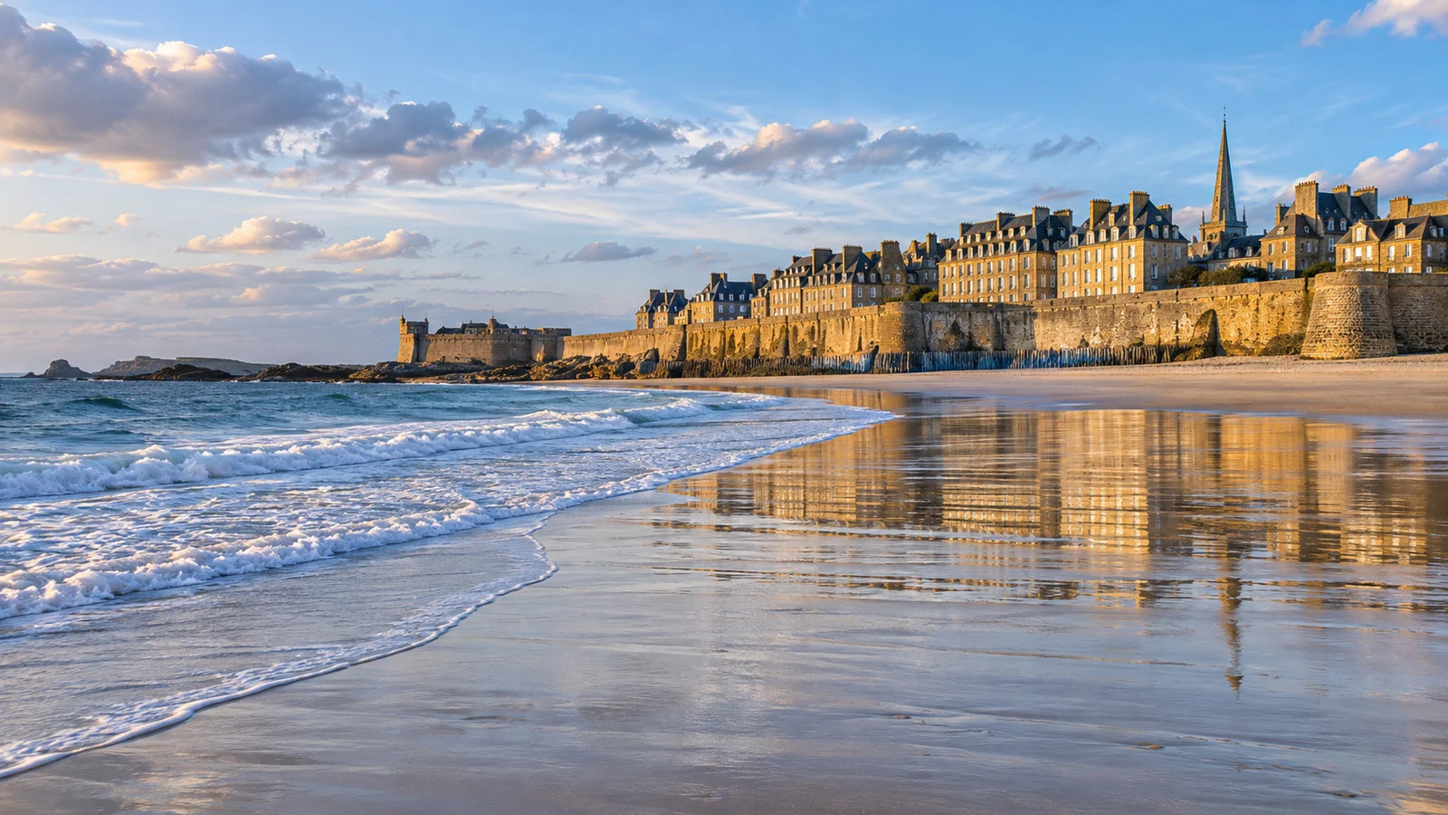
For a short call, walk part of the ramparts, explore the old town, and choose one tide-safe beach viewpoint. This plan survives a delayed tender and keeps the return simple.
For a full local day, add Fort National or Grand Bé when official tide conditions permit, then take the sea bus to Dinard if the seasonal timetable fits. Return well before the last possible connection.
For a long excursion, choose a ship tour to Mont-Saint-Michel and accept that Saint-Malo itself may receive little time. Do not attempt the public coach when its return conflicts with the tender schedule.
Common questions
Is Saint-Malo a tender port?
It depends on ship size and port operations. The port accepts vessels under 150 meters alongside and ships up to 250 meters on offshore moorings.
How far is the old town from the landing?
The main cruise arrival points sit at the foot of the ramparts. Most passengers can reach a gate in a short walk, though the tender queue adds time before that walk begins.
Can you visit Mont-Saint-Michel independently?
Seasonal direct coaches operate from Saint-Malo, but the schedule must fit the ship and tender plan. A ship excursion is safer when the Mont is the priority.
Can you walk to Fort National at any time?
No. Access crosses a tidal route and is possible only when conditions and official opening permit it.
The last word
Saint-Malo is a rare port where the best sights begin beside the landing. The ramparts, granite streets, beaches, tidal islands, and seafood can create a complete day without a motorcoach.
Let the tide decide the order, let the ship decide the transport, and leave Mont-Saint-Michel for a call long enough to deserve it. The sea sets the schedule here, and it does not negotiate.
Research note
This guide was checked on September 12, 2026, against the Saint-Malo and Cancale port authority, official city tide information, Keolis Armor, and Compagnie Corsaire.
Berths, tender operations, tides, ferry and coach schedules, attraction access, accessibility, and weather can change, so confirm final details with the ship and local operators before travel.