Santiago Island Cruise Guide: Puerto Egas, Espumilla and Sullivan Bay
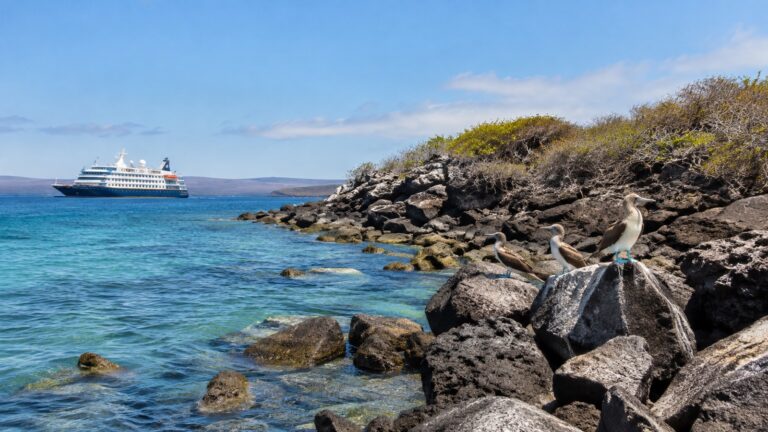
Santiago Island is the kind of Galápagos stop that makes an expedition cruise feel wonderfully far from ordinary. There is no cruise terminal, waterfront cafe, taxi line, or souvenir shop waiting ashore, only volcanic coast, protected wildlife habitat, and a landing plan shaped by the sea.
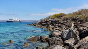
Your ship remains offshore while small expedition boats carry you to one of Santiago’s authorized visitor sites. That simple fact changes how you should plan the day, because the experience depends on transfers, shore conditions, park rules, and the exact itinerary assigned to your vessel.
Why Santiago Island belongs on a Galápagos itinerary
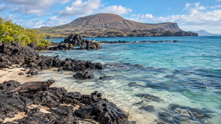
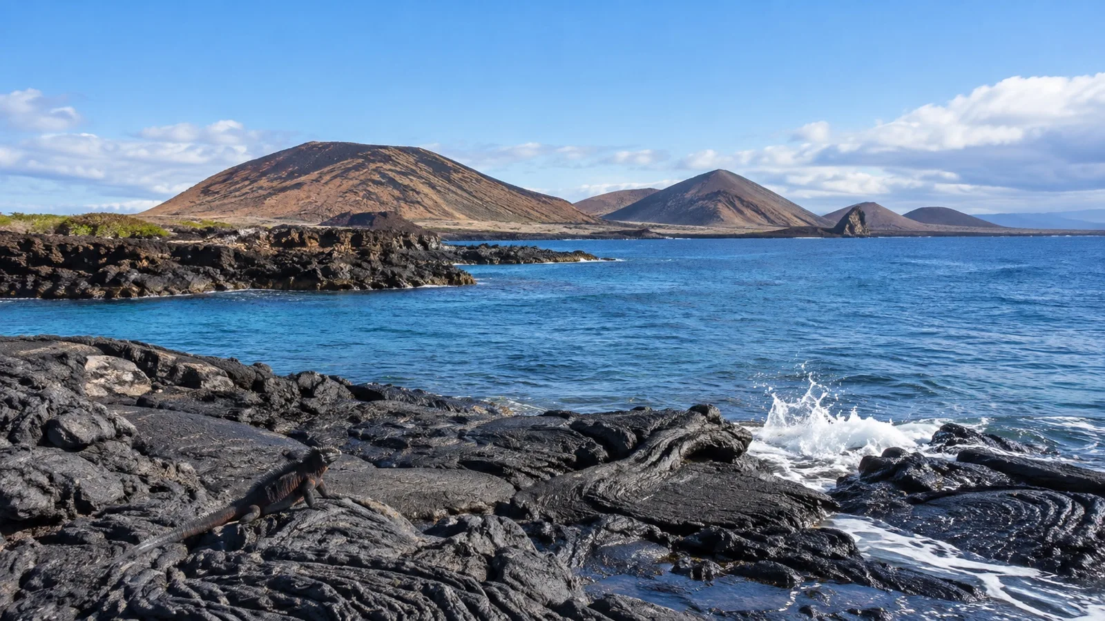
Santiago sits near the center of the archipelago and combines several classic Galápagos landscapes in one island. Along its coast, visitors may encounter dark lava, pale sand, tidal pools, eroded grottos, and dry vegetation that looks modest until a bird, lizard, or sea lion brings it to life.
The island is also called San Salvador and was historically known as James Island. Most cruise guests do not circle the whole island, so the name Santiago on an itinerary usually means a specific landing such as Puerto Egas, Espumilla Beach, or Sullivan Bay.
These sites are not interchangeable. Puerto Egas emphasizes shoreline walking and wildlife, Espumilla Beach offers a softer coastal setting, and Sullivan Bay is primarily a geological experience across relatively young lava.
UNESCO describes the Galápagos as a place where ongoing volcanic and seismic activity reveals how the islands formed, while the meeting of ocean currents supports extraordinary marine life. Santiago makes that grand description tangible, because you can study both the rock underfoot and the animals using the coast around it.
Quick Facts
- Country: Ecuador
- Region: Galápagos Islands
- Port type: Offshore expedition landing with no cruise terminal
- Typical access: Ship to small expedition boat, then a wet or dry landing depending on the site and conditions
- Main visitor sites: Puerto Egas, Espumilla Beach, and Sullivan Bay
- Currency: United States dollar
- Time zone: Galápagos Time, UTC minus 6
- Best for: Volcanic scenery, guided nature walks, coastal wildlife, photography, and snorkeling when offered
- Accessibility: Challenging, with small-boat transfers and natural terrain
- Independent exploring: Not available at protected visitor sites
How the Santiago landing works
There is no conventional port call here. Expedition staff usually brief guests aboard the ship, organize small groups, distribute life jackets, and help everyone board a Zodiac or similar rigid inflatable boat from a platform near water level.
A wet landing means stepping from the boat into shallow water and walking onto a beach, while a dry landing generally means stepping directly onto rock or a built landing point. The actual method can change with tide, swell, and instructions from the expedition leader, so follow the briefing even if a printed itinerary says something different.
Transfers are usually short, but they can be bouncy and may involve spray. Keep both hands available when boarding, use the crew’s sailor grip when offered, and wait for instructions before standing or moving around the boat.
Galápagos visitor sites are managed rather than open for casual wandering. The Galápagos National Park Directorate identifies authorized marine and terrestrial sites and the activities allowed at them, which is why the ship’s schedule and the naturalist guide’s directions matter more than an independent map.
Puerto Egas: the classic wildlife walk
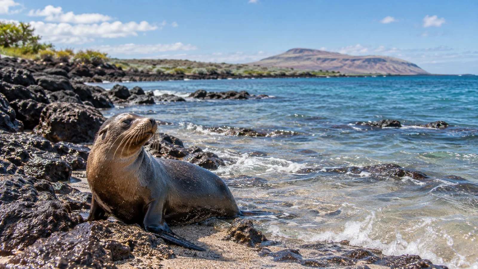
Puerto Egas, also called James Bay, is the Santiago stop many travelers picture first. A dark sand beach leads toward a rugged coast shaped by lava, saltwater, and time, with natural channels and pools that reward slow observation.
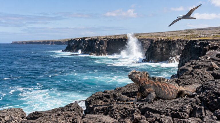
The walk is less about reaching a single monument than noticing what appears along the route. Marine iguanas may blend into black rock, Sally Lightfoot crabs add flashes of red and orange, and shorebirds work the waterline while sea lions rest or move through the shallows.
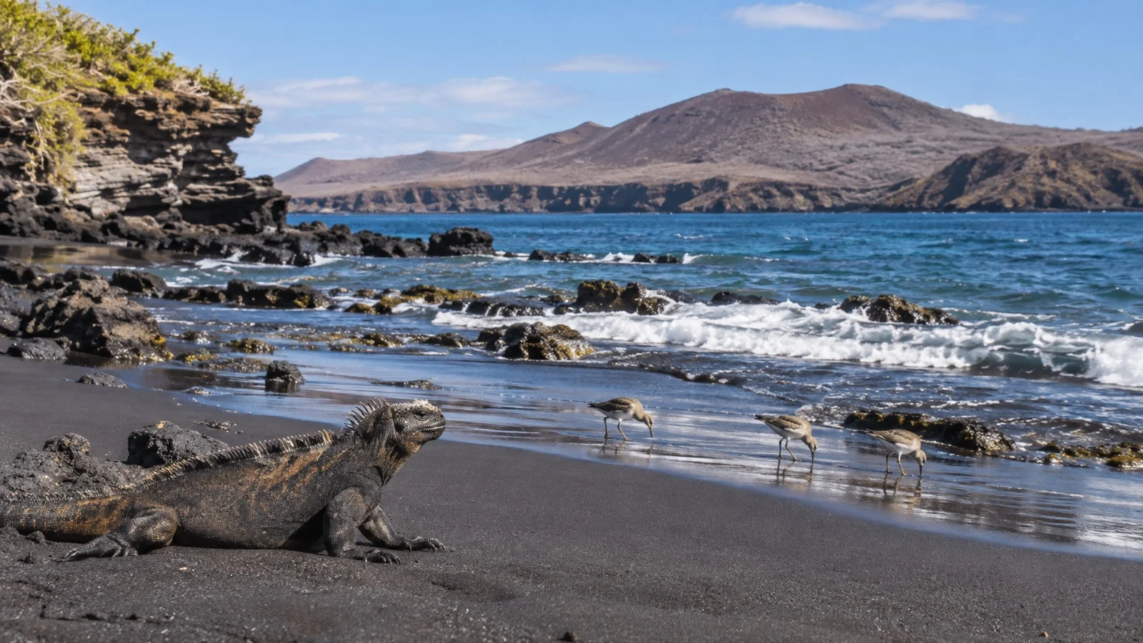
Galápagos fur seals are one of the site’s headline possibilities, especially around shaded grottos and rocky water. Sightings are never guaranteed, and the distinction from sea lions can be subtle at a distance, so let the naturalist guide point out body shape, behavior, and habitat rather than trying to identify every animal alone.
The trail can be uneven, sharp, and slippery where spray reaches the rock. Closed-toe walking shoes with dependable grip are the sensible choice unless your expedition team gives different site-specific advice.
If snorkeling is offered, conditions and entry arrangements vary. The water can feel cool, visibility can change, and currents deserve respect, so only join the activity if you are comfortable with the stated conditions and can follow the guide closely.
Espumilla Beach: sand, mangroves, and quiet observation
Espumilla Beach presents a gentler-looking landscape, with sand backed by vegetation and mangroves. It is still a wild, protected shore rather than a swimming beach with services, and every visit is governed by the authorized route and current conditions.
Wildlife activity changes with tide, season, and simple luck. Tracks in the sand, birds near the vegetation, rays in shallow water, or signs of nesting activity can become the focus, but responsible guides will avoid promising a particular species before landing.
This is a place to reduce your pace and pay attention to small details. Keep back from animals, avoid blocking their path to the water, and never step beyond the route to improve a photograph.
The beach surface may be easier than rough lava for some travelers, but the transfer itself can still be the hardest part. A wet landing, shifting sand, and the need to enter or leave a small boat make the site unsuitable for anyone who cannot safely manage those movements without substantial assistance.
Sullivan Bay: walking across volcanic history
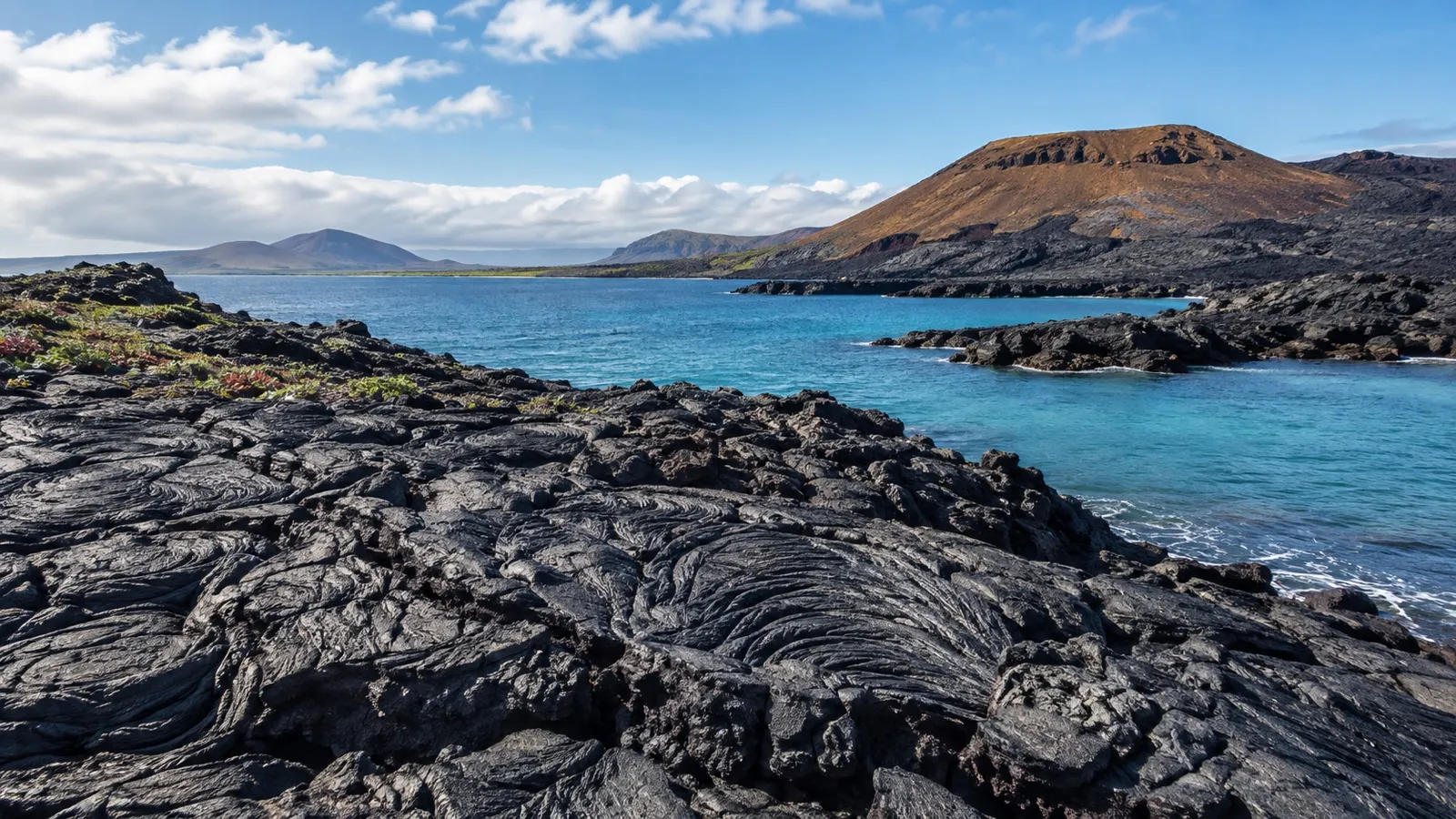
Sullivan Bay lies on the eastern side of Santiago and is known for broad lava flows with remarkably clear surface textures. Ropy patterns, pressure ridges, cracks, and small pioneer plants turn the walk into an outdoor lesson in how new land begins to weather and support life.
This stop is more geological than lush, and that is exactly its appeal. The stark landscape also helps explain UNESCO’s description of the archipelago as a place where active Earth processes and biological evolution can be studied together.
The lava may look smooth from the boat, but footing can demand concentration. Surfaces can be brittle, uneven, and hot in direct sun, so sturdy shoes, controlled steps, and a willingness to skip the longest route are more useful than speed.
There is usually little shade, and reflected heat can make a moderate walk feel more demanding. Carry water if the operator permits it, use reef-conscious sun protection, and listen for the guide’s turnaround time.
Wildlife etiquette matters more than the checklist
The Galápagos experience feels intimate because many animals show little fear of people, but that does not make them tame. Give wildlife space, stay with your group, remain on the marked or instructed route, and never touch, feed, chase, or position yourself between an animal and the sea.
Flash, sudden movement, and loud conversation can disrupt both animals and other guests. A longer camera lens and patience usually produce better results than edging closer.
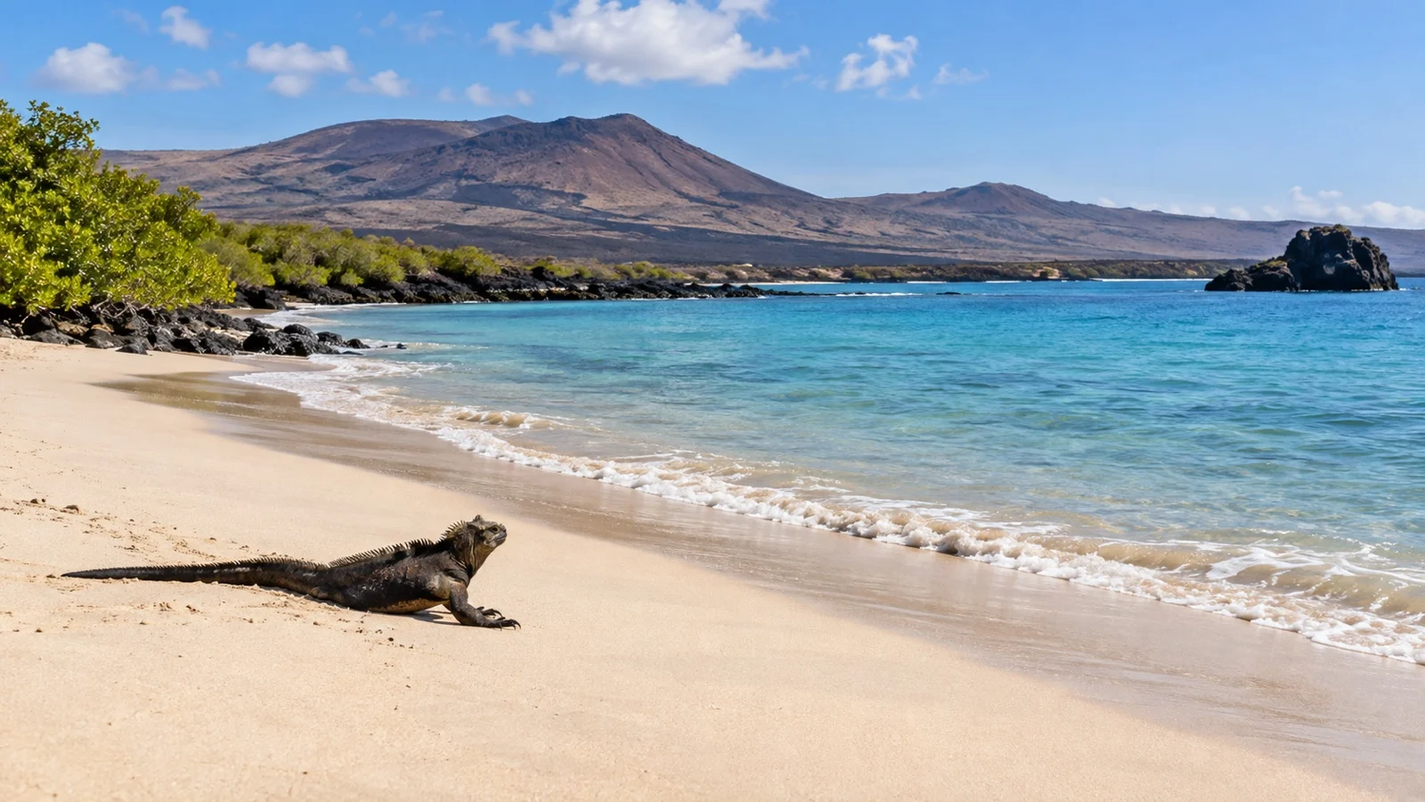
Sea lions may occupy exactly the beach or rock you hoped to use. The correct response is to wait for the guide or take a different line, not to encourage the animal to move.
The park’s controls also protect the islands from introduced organisms. Clean mud, seeds, and plant material from footwear and bags before shore activities, and comply with every biosecurity check organized by your operator.
What to wear and carry
Choose clothing for sun, spray, and changing temperatures rather than for a polished port day. Lightweight long sleeves, a securely fitting hat, sunglasses with a strap, and sun protection are useful on exposed beaches and lava.
Footwear depends on the landing, but you may need one pair that can get wet and another with better support for the trail. Confirm the operator’s advice at the briefing, because some vessels have specific rules about changing shoes or cleaning soles.
Protect cameras and phones in a dry bag or waterproof pouch during the small-boat ride. A compact pair of binoculars can be more rewarding than heavy equipment when animals remain beyond the trail boundary.
Bring only what you can manage while keeping a hand free for boarding. There are no shops, restrooms, water fountains, or lockers at the wild landing sites, so anything essential needs to come from the ship and return with you.
Accessibility and mobility realities
Santiago is not an accessible port in the conventional sense. Even before the walk begins, guests may need to descend ship stairs, step onto a moving small boat, sit on a tube or low bench, and transfer ashore without a fixed gangway.
Puerto Egas and Sullivan Bay add uneven natural surfaces, while Espumilla may involve shallow water and soft sand. Wheelchair access is generally not practical, and walkers or canes may be difficult to use during transfers or on fragile terrain.
Travelers with limited mobility should speak with the expedition team before the landing, not after boarding the small boat. The crew may suggest a shorter route, a scenic boat ride, or remaining aboard, but what is possible depends on the vessel, staffing, sea state, and park authorization.
Choosing not to land can still be a good decision. Watching the coast from the ship, attending the naturalist recap, and using onboard observation areas may provide a satisfying experience without turning a difficult transfer into a safety problem.
Weather, sea conditions, and itinerary changes
Santiago calls are always conditional, even when they appear on a confirmed itinerary. Swell, wind, visibility, wildlife protection measures, park instructions, or operational needs can change the landing site, shorten an activity, or cancel it.
There is no reliable published site-specific cancellation percentage that should guide your expectations. Treat the printed plan as an intention, attend every briefing, and judge the day by the experience delivered rather than by whether every named site appears.
The warm and cool seasons affect air temperature, water temperature, rainfall, and sea conditions, but neither season guarantees a particular animal encounter. Ask the cruise line what equipment it supplies, especially wetsuits, snorkeling gear, walking poles, and dry bags.
Costs and practical planning
Most Santiago activities are included in the fare of an expedition voyage, but inclusions vary. Check whether snorkeling equipment, wetsuits, gratuities, park entry charges, transit control fees, and pre-cruise transfers are covered by your specific booking.
There is nowhere to spend money ashore on Santiago’s remote visitor sites. The United States dollar is Ecuador’s official currency, but cards and cash are irrelevant during the landing itself.
Entry fees and procedures can change, so verify them with the Galápagos National Park Directorate visitor information and your operator before travel. Avoid relying on an old blog post for current amounts or documentation.
How Santiago fits with other Galápagos stops
Santiago works best as one chapter in a multi-island itinerary. It pairs volcanic interpretation with wildlife observation, while other islands may emphasize giant tortoises, seabird colonies, highland vegetation, human settlement, or different snorkeling environments.
That variety is the point of an expedition cruise through the archipelago. UNESCO notes that the Galápagos combines unusual terrestrial life, rich marine ecosystems, and visible geological processes, so no single landing can represent the whole World Heritage property.
When comparing voyages, look beyond the number of islands printed in a brochure. Consider the guide-to-guest ratio, time allocated ashore, small-boat capacity, activity level, and how clearly the operator explains alternative plans.
My honest take on Santiago Island
Santiago is a strong cruise day for travelers who enjoy observation more than conventional sightseeing. There is no landmark to conquer and no town to browse, but there is an exceptional chance to read a landscape through lava, tide, wildlife, and the explanations of a good naturalist.
Puerto Egas is the most rounded choice if you want a mix of coastal scenery and wildlife, while Sullivan Bay is the standout for geology. Espumilla Beach feels quieter and softer, although the conditions and what you see will always belong to that particular day.
The main caveat is physical access. Small-boat transfers and natural terrain can exclude some guests, so honest self-assessment and an early conversation with the expedition team are essential.
If you arrive prepared to follow the park’s rhythm rather than impose your own schedule, Santiago can become one of the most memorable stops in the Galápagos. The reward is not a perfect wildlife checklist, but the rare feeling of visiting a protected shore on its own terms.
Official resources
Use the Galápagos National Park Directorate for current visitor rules and authorized sites. Its current register lists 176 visitor sites, including 91 marine sites and 85 terrestrial sites, while the UNESCO World Heritage Centre provides authoritative background on the archipelago’s geology, biodiversity, and protected status.
Research note: Visitor-site controls, landing guidance, and protected-area information were reviewed against current park and UNESCO sources on September 12, 2026. Your expedition leader and park naturalist provide the final instructions for the conditions on your sailing.
More on this topic: browse every guide on expedition and alternative cruises.