Cruise Port Webcams and Ship Trackers: Check Your Berth Before You Board
Your ship is docked two miles from town behind a container terminal, and you find that out at 8am when the gangway opens. That information was sitting in public three weeks earlier, and you just did not know where to look.
My quick take
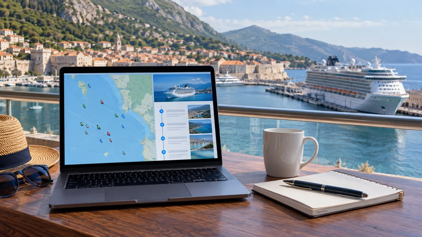
I check my ship’s recent berth history before I sail, the same way I check whether ride-hailing actually works at that pier. It takes about ten minutes per port and it has changed how I plan a day ashore more than any packing list ever did.
None of it is certain, and I want to say that early. It is just far better than guessing, and every tool I use here is free, which is the part I care about most.
The quick facts
- What you are looking at: Ships broadcast their own position by radio, and free maps collect those broadcasts.
- Cost: Everything in this guide works without paying for anything.
- Best time to look: Two to four weeks before you sail, not the night before.
- Accuracy: Near a coast the position is close to live, and in open ocean it can be hours old.
- Biggest limit: A berth your ship used last month is a pattern, never a promise.
What AIS actually is, and what it was built for
Every large ship transmits a short radio message several times a minute. It contains the ship name, position, speed, heading and the destination the crew typed in.
The whole thing exists so that ships can see each other in fog and heavy traffic and not run into anything. Tourists watching from a sofa were never part of the design, which is why the raw display looks like a spreadsheet with boats in it.
Receivers on shore, many of them run by hobbyists with an antenna on a roof, pick up those broadcasts and feed them into public maps. That collected feed is what every free tracking site is actually showing you.
Why the map goes quiet in the middle of the ocean
Those broadcasts go out on marine VHF, which travels line of sight. A good shore receiver hears a ship tens of miles out, not hundreds.
So coverage near land is dense and your ship updates constantly as it comes in. Out on a crossing there is nobody listening except satellites, and those pass overhead on their own schedule.
A ship in mid Atlantic can therefore sit frozen in the same spot for hours. That is a gap in who is listening, not a problem with the ship, and it panics more relatives than anything else on this list.
The three things worth learning before you sail
I do not open a tracker hoping to be entertained. I open it with three specific questions, and I close it once I have the answers.
- Which pier: Where the ship physically sat on its last few visits to that port.
- Dock or anchor: Whether it tied up at all, or parked offshore and ran tenders.
- Company: How many other ships were alongside on the same morning.
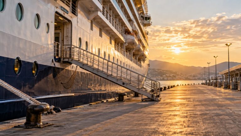
The first one matters most, because the walk from the gangway to anything worth seeing is decided by that answer. I go deeper on that in my guide to which berth your ship will use and why it decides your whole port day.
Reading a port schedule page without getting lost
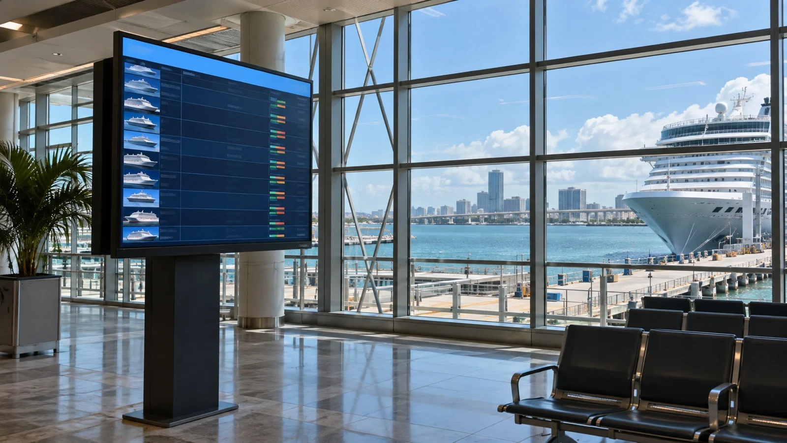
A surprising number of ports publish their own calendar of expected ships. Some of them list the calls due in on the day you are reading, with arrival and departure times.
A few go much further and publish the live operational view, including a running list of which vessel is sitting at which berth right now. That page is not built for passengers, and it is the single most useful thing I have found for a homeport day.
The columns are almost always the same: ship, arrival, departure, and a berth or terminal code. Take that code and find it on the port’s own map, because a terminal number means nothing until you see where it sits relative to the gate.
If the page shows four ships due on your date, you have also answered a separate question. My guide to how many ships share your port day covers what to do with that number.
Look up the same weekday last month
This is the trick that makes the whole exercise worth ten minutes. Cruise itineraries repeat on a weekly cycle, so your Tuesday in a given port has already happened four times this season.
Pull up your ship on a free map built around cruise ships rather than freighters, find its recent calls at that port, and look at the Tuesdays. If it took the same pier three visits running, that pier is a reasonable bet for yours.
If it bounced between two piers, you have learned something more useful than certainty. You now know to plan a day that works from either one.
What a camera shows you that a schedule never will
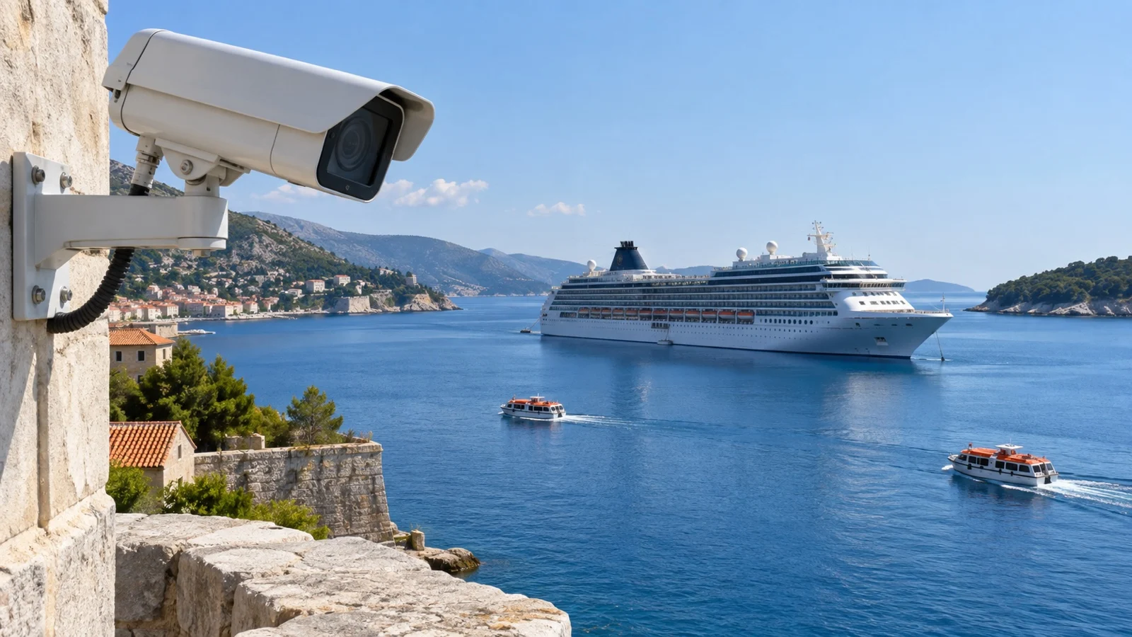
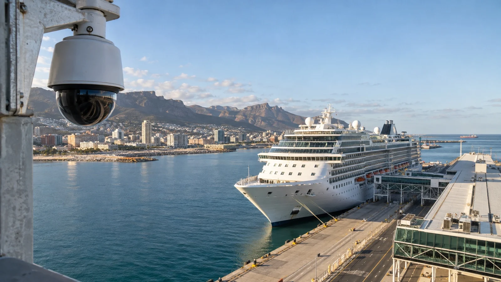
A schedule tells you the berth. A picture tells you what is between that berth and anything you want to do.
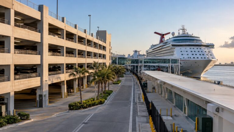
You see the cranes, the fence line, the length of the pier, and whether there is a row of shuttle buses idling at the foot of the gangway. You also see the scale, which is the part a map flattens out.
Weather and light are the bonus. Watching a port at your arrival hour a week beforehand tells you whether 7am there is bright and dry or gray and blowing, which is worth more than a forecast written for the whole region.
The tender question, answered from your couch
Tendering changes the arithmetic of a port day more than almost anything else. It can cost you an hour on each end, and the schedule page rarely says a word about it.
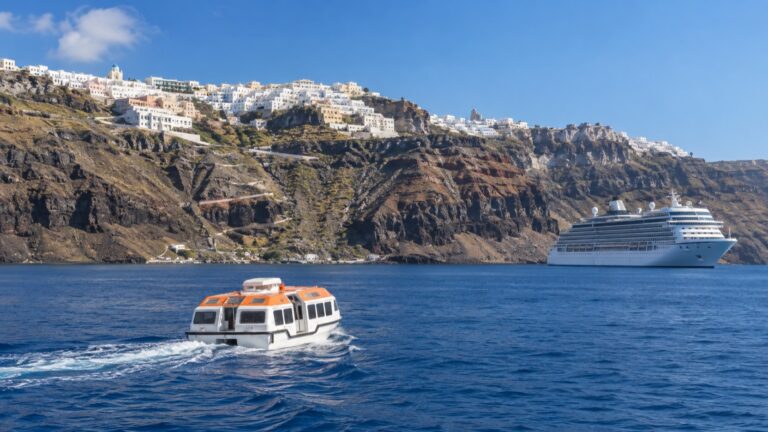
On a tracker it is obvious once you know the shape of it. An anchored ship sits offshore at zero knots, slowly swinging around one point, with no berth listed against its name.
A camera confirms it in about five seconds, because you can see the small boats running back and forth. I would rather learn that in my kitchen than at a muster of 300 people in a lounge.
Which ports actually have a camera pointed at the pier
Fewer than you would hope, and the list moves around. The strongest coverage is in the Florida homeports and a cluster of Caribbean and Bahamian ports, plus at least one Alaska harbor, where you can usually get a live view of the harbor and the ships coming in.
Norway and the Mediterranean are well served by tourism cameras, though those tend to be aimed at a pretty square rather than the working quay. That still helps, because a ship the size of a city block turns up in the background whether the camera meant it to or not.
Do not assume a camera you used last year is still there. I have opened Alaska port cams and found a note saying the whole system is being replaced, which is the normal life cycle of a free webcam.
Using it on the day, and why I mostly do not
Here is the honest caveat. Live maps and video are heavy, and shipboard internet is metered, slow or both.
A map that redraws every few seconds will chew through a data allowance while you stare at a spinning tile. A video stream will do it faster.
So I do the looking at home and take screenshots of the port map, the berth and the walking route. Ashore, on a cafe connection, I will check the ship position once if I am cutting it close, which is a different problem covered in my guide to how much time to leave for getting back to the ship.
Letting the family at home watch your ship
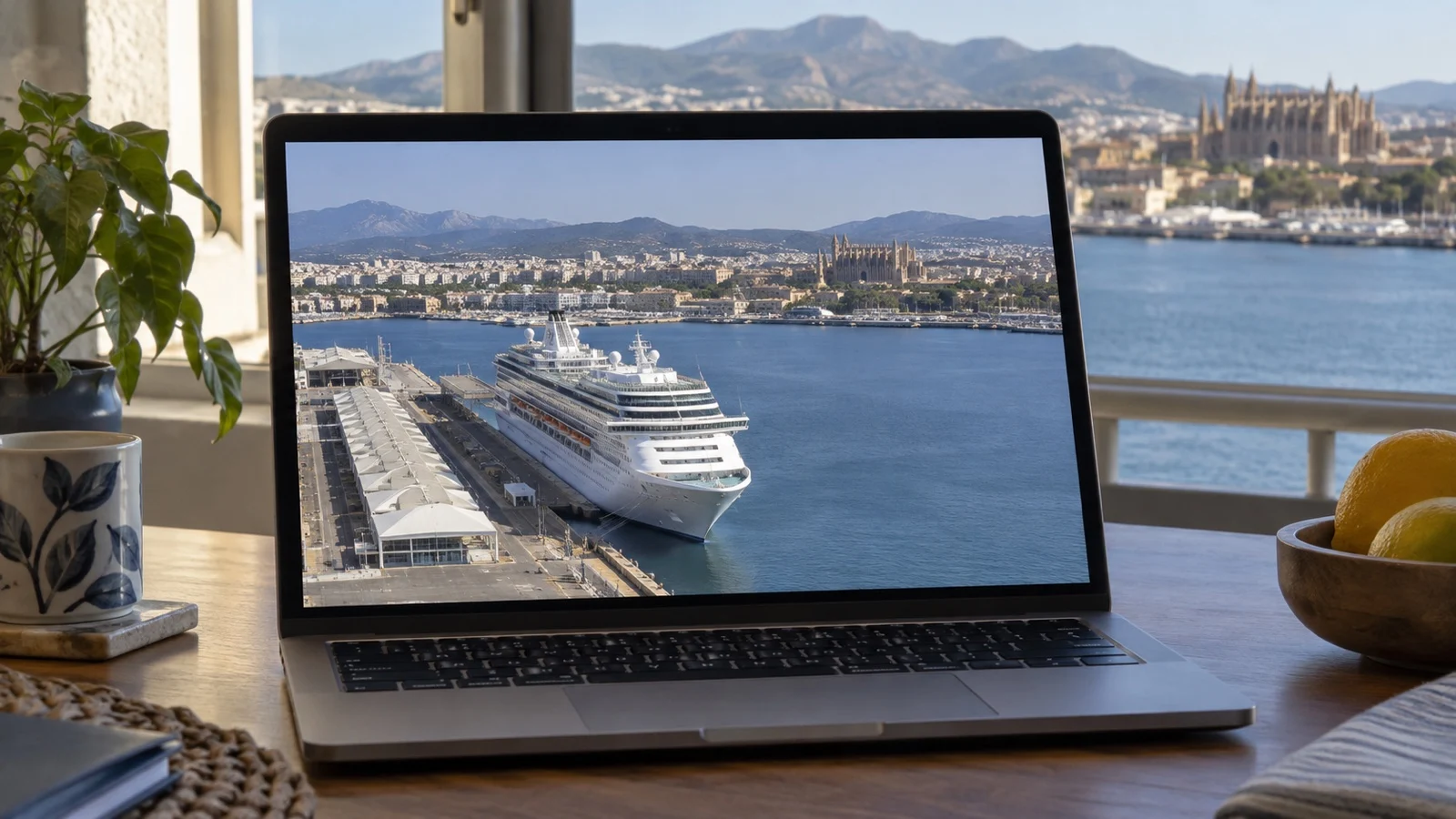
This is the genuinely lovely use for all of it, and the one people ask about most. Someone at home can follow your ship across an ocean for nothing.
Before you go, send them the exact ship name and your sailing dates. Ship names repeat across fleets and the wrong vessel will happily sail somewhere confusing.
Tell them two things so they do not worry. A frozen position mid ocean is normal, and an arrival time on the map is a computer’s estimate rather than anything the captain said.
If a port on your itinerary has a camera, give them the time and the date. Standing on an open deck and waving at a webcam is deeply silly and I recommend it.
The ways this goes wrong
Every one of these has happened to somebody, and most of them will happen to you eventually. None of it is a reason to skip the research.
- Berths move: A port can reassign your ship days or hours before arrival.
- Schedules shift: Published calendars are forecasts and get edited quietly.
- Cameras die: Free cams go dark for weeks with no explanation.
- Positions lag: A dot on a map can be minutes or hours behind reality.
- Destinations mislead: The next-port field is typed by a human and is often stale.
The one that catches people out is a late schedule change on a busy day. When four ships want three good piers, somebody gets moved, and my guide to what changes when several ships visit the same port explains who usually loses.
What none of this can tell you
It cannot tell you whether the shuttle is free or eight dollars. It cannot tell you how long the taxi line is at 9am, or whether the gate guard will let you walk out.
It also cannot promise you a berth. Everything you learn here is a pattern with good odds attached, and a pattern is not a booking.
What it does is narrow the range of surprises down to something you can plan around. That is the whole return on ten minutes of clicking.
Quick answers
Is there a free way to track a cruise ship?
Yes, and you should not pay for one. Several public maps show live cruise ship positions, itineraries and port calendars without an account.
Can I find out which berth my ship will use?
You can find out which berth it has used recently, which is usually close enough to plan with. Some ports also publish a live berth list you can read for free.
Why is my ship not moving on the tracker?
Almost always because it is too far from land for shore receivers to hear it. The position updates again as it comes back within range of the coast.
Are cruise port webcams free to watch?
The ones worth using are free and ad supported. If a camera wants a subscription, close the tab and find another view of the same harbor.
Can my family watch my ship from home?
Yes, and it costs them nothing. Give them the exact ship name and the dates, and warn them that a frozen dot mid ocean is completely normal.
Final word
Ten minutes with a free map and a port calendar will not make your port day perfect. It will stop the two or three specific surprises that cost real money and real hours.
Do it once, a few weeks out, and write down what you find. Discovering that your berth is two miles from the gate is fine at your kitchen table and expensive at the top of the gangway.
How this guide was researched: Every tracking map, port schedule page and harbor camera described here was opened and confirmed working in September 2026, along with the technical basis for how ship position broadcasts are collected. Cameras go offline, schedule pages move and berth assignments change without notice, so confirm the specific details for your own sailing before you rely on them. See our Editorial Policy.
More on this topic: browse every guide on port logistics and timing.