Vardø Cruise Port: Fortress, Puffins and Witch Trials
Vardø sits farther east than Istanbul, on an Arctic island reached by an undersea road tunnel. The northbound Coastal Express call falls in the small hours, while the return call is later in the day, so direction changes the visit completely.
My quick take
Many travelers have never heard of Vardø before reading Hurtigruten’s full list of Coastal Express ports, and that is rather the point. It is the town most itineraries bury in the small print.
This is Norway’s easternmost town, a fishing outpost turned fortress and witch-trial memorial site on its own island in the Barents Sea. With enough time ashore, you can reach a 300-year-old star fort and one of Scandinavia’s most unsettling memorials on foot from the quay.
My honest take: the overnight northbound stop is mainly a look from the deck, while the longer southbound call creates the practical sightseeing opportunity. Check the live sailing plan before building a walk around either one.
Vardø quick facts
- Where you land: The town quay on Vardøya island, home to Norway’s easternmost town and linked to the rest of Finnmark by the undersea Vardø Tunnel.
- Dock or tender: Alongside. Hurtigruten ships berth directly at the town quay; there is no tendering.
- Into town: The quay opens straight onto the town center, and the fortress and memorial are both under a 15-minute walk away.
- Currency and language: Norwegian krone (NOK); Norwegian is official and English is widely spoken, though do not expect much after hours in a town this small.
- Time zone: Central European Time, same as the rest of Norway, despite sitting on a longitude east of Istanbul.
- Schedule caution: The Coastal Express calls in both directions, but the northbound stop is a brief overnight call and the southbound stop is the more useful sightseeing window. Confirm your exact arrival, departure, and permission to go ashore.
- Best independent plan: Walk to Vardøhus Fortress first, then add the Steilneset Memorial only when the call length and opening hours allow.
Getting off the ship: the tunnel town
Vardø is unusual among Arctic Norwegian ports because the island it sits on is no longer really an island for road traffic. The Vardø Tunnel runs about 1.8 miles under the Bussesundet strait to a depth of roughly 289 feet, connecting Vardøya to the mainland since 1982.
None of that matters much to you as a passenger, since your ship docks directly at the town quay rather than on the mainland side. What it does mean is that Vardø, despite its remoteness, has a normal road link to the rest of Finnmark, which is why buses and taxis exist here at all.
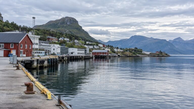
The quay itself sits at the harbor’s edge, with the old town wrapped around it in low, weather-beaten rows of houses. There is no cruise terminal building to speak of, just a working fishing harbor that happens to also be Hurtigruten’s stop.
Walking into Vardø
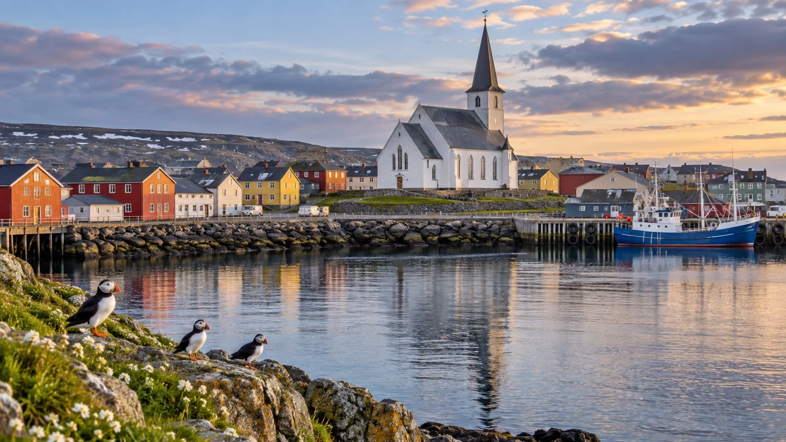
You do not need transport here. Vardø’s entire walkable core, the harbor, the fortress, the memorial, and the two small local museums, fits inside a compact grid you can cover on foot in an afternoon.
That said, this is a working Arctic fishing town, not a resort, so do not expect a tourist information kiosk waving you toward souvenir shops. Shops here also tend to close early on Saturdays and stay shut on Sundays, so plan any errands for a weekday call.
The standout sights
Vardøhus Fortress
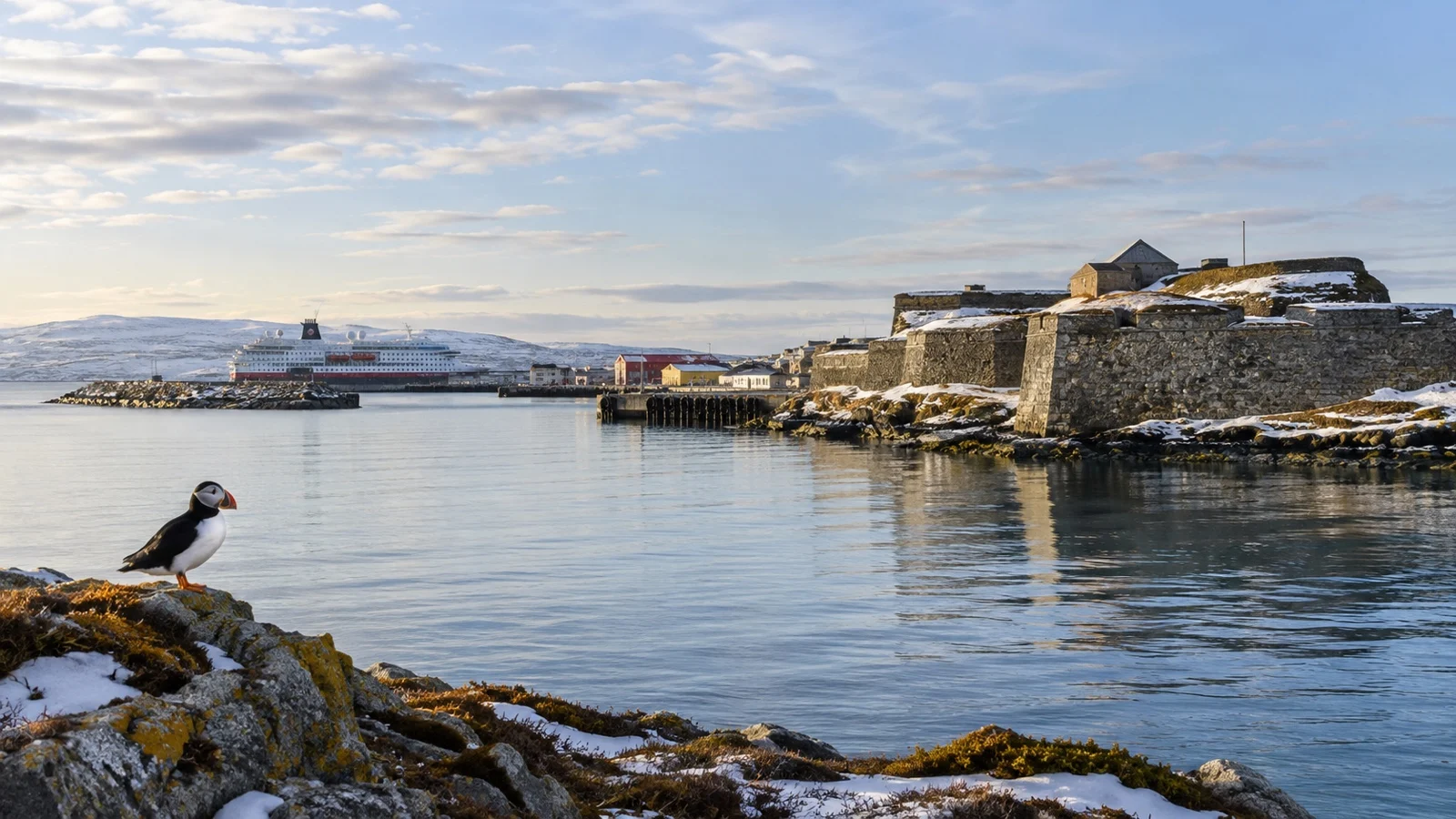
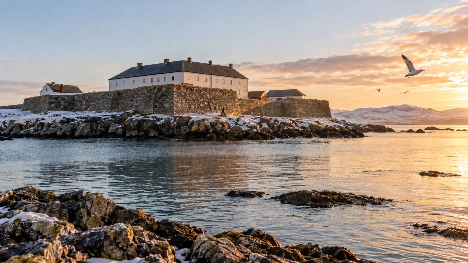
Built between 1734 and 1738, Vardøhus is an octagonal, star-shaped earthwork fortress, the northernmost fortress in the world. It is still an active royal saluting battery, and the grounds are free to walk, open daily (summer hours run 10:00 to 21:00, winter 10:00 to 18:00).
During the German occupation, it flew the Norwegian flag longer than any other Norwegian fortress and was the first military installation to raise it again at liberation in 1944. That detail says a great deal about the fortress’s place in local history.
Steilneset Memorial
This is not a cheerful stop, and it should not be. Steilneset commemorates 91 people executed for witchcraft in and around Vardø in the 17th century, most infamously in 1621.
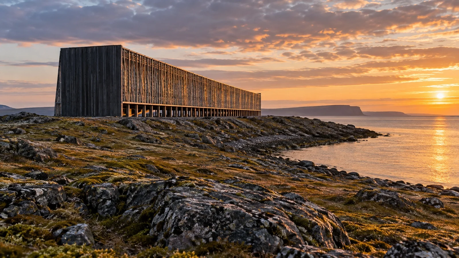
Architect Peter Zumthor and artist Louise Bourgeois built two structures here: a roughly 410-foot suspended timber walkway with 91 small windows, one lightbulb per victim, and a separate steel-and-glass pavilion holding Bourgeois’ unsettling sculpture of an eternally burning chair. Opened by Queen Sonja in 2011, it is one of Norway’s most quietly affecting memorials, and a thoughtful visit takes about twenty minutes.
Hornøya bird island
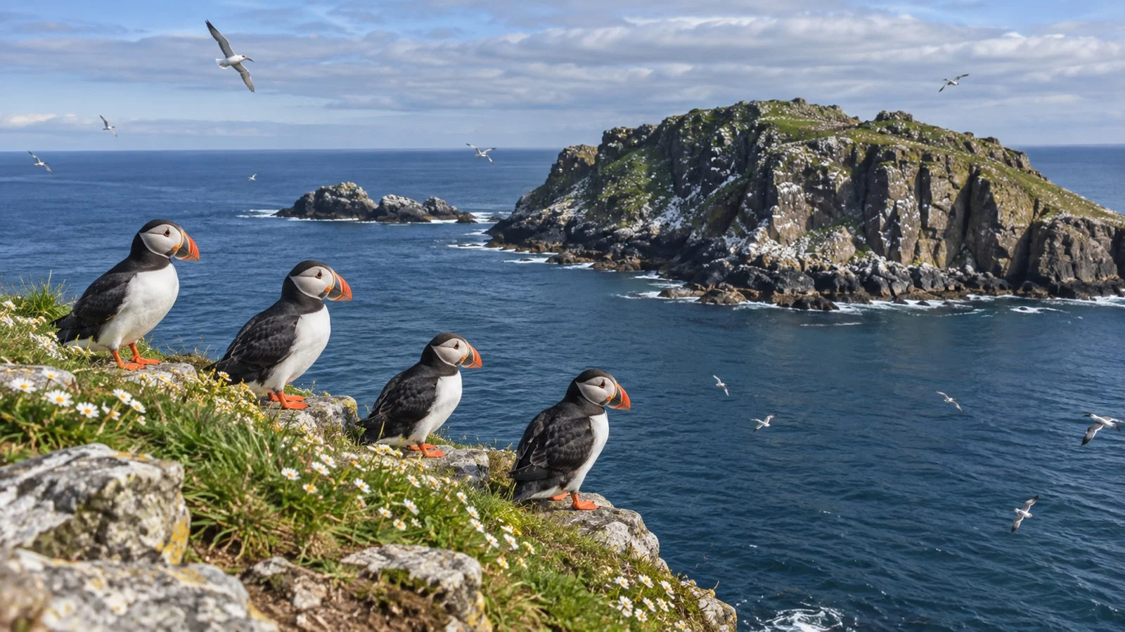
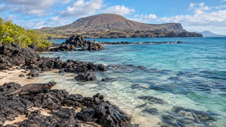
Just offshore sits Hornøya, mainland Norway’s easternmost point and home to roughly 100,000 seabirds across a dozen species, from puffins to Brünnich’s guillemots. Boat trips run daily from Vardø harbor between March 1 and September 1, weather permitting.
That season window matters. Outside it, or on a night call, Hornøya simply is not on the table, no matter how good the puffin photos look online.
Ship excursion or do it yourself
Vardø is one of the easier ports on this coast to skip the ship’s excursion desk entirely. The fortress and memorial are close enough, and clearly signed enough, that an independent walk costs you nothing but time.
Only consider Hornøya when the ship explicitly offers it or a longer call leaves several verified hours for the boat and island visit. The seasonal service runs from March 1 to September 1, weather permitting, and does not fit the brief northbound Coastal Express stop.
If your call is a genuine overnight one, skip the debate: there is no independent plan that beats simply resting for Kirkenes or the next port.
Accessibility: honestly, mixed
The quay-to-town walk is flat and short, which helps. Vardøhus Fortress grounds are grass and gravel earthworks, walkable for most but not smooth, paved terrain, and can be genuinely slippery in winter or after rain.
The Steilneset walkway is a narrow, roughly five-foot-wide timber corridor, manageable for most mobility levels on a dry day but tight for larger wheelchairs or scooters. Hornøya is the honest exception: it is an open boat landing on an uneven, rocky nature reserve, and I would not recommend it for anyone with significant mobility limitations.
Weather, wind and staying safe
Vardø’s climate runs roughly from a winter average near 19°F to a summer high around 54°F, and the wind off the Barents Sea is the real factor, not the thermometer. Layer for wind chill even in July, and expect fog or rain to be entirely plausible regardless of season.
Norway’s nationwide emergency numbers apply here as anywhere else: 112 for police, 110 for fire, and 113 for a life-threatening medical emergency, and non-emergency care goes through the local legevakt (out-of-hours clinic). In a town this size and this remote, do not assume rapid response times; a serious issue may mean waiting for help to travel in.
Timing your return
The current Coastal Express sailing plan lists a 15-minute Vardø call at 03:30 northbound, followed by Vadsø and Kirkenes. The southbound return call is later in the day and is the one to use for a short independent walk.
Confirm your specific ship’s arrival and departure times as soon as they are published, not the general route pattern. Whatever the hour, Hurtigruten runs a genuine working schedule, not a leisure cruise schedule, so ships leave on time.
How Vardø fits a Norway cruise
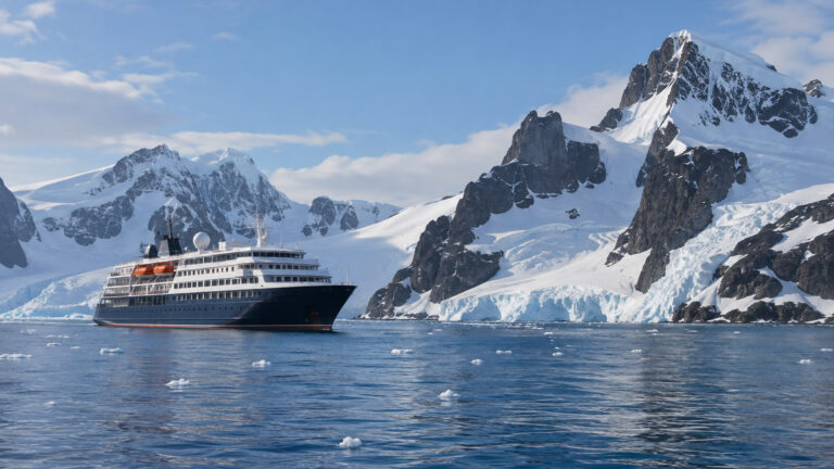
Vardø is best known as a Coastal Express stop between Bergen and Kirkenes, though some smaller expedition itineraries also call here. It is very different from a conventional big-ship fjord port and pairs naturally with far-northern stops such as Hammerfest or Narvik.
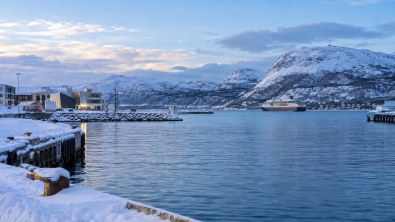
It is also, unsurprisingly, an aurora-season draw for winter sailings; if that is your actual goal rather than a specific port, our northern lights cruise guide covers what genuinely improves your odds. Vardø will not make or break a Norway itinerary, but it is a strong argument for choosing the working ferry route over a standard fjords loop.
The practical checks I would make before Vardø
Confirm the town quay, direction, arrival time, and exact departure because Coastal Express calls can occur at awkward hours and vary in useful length. The berth is alongside, but there is no reason to cross the road tunnel or arrange transport for a short town visit.
Choose Vardøhus Fortress or Steilneset first according to the live opening and walking time, and add the second only if the schedule leaves a comfortable margin. Hornøya requires an authorized boat and suitable conditions, so it is a separate seasonal excursion rather than a quick puffin add-on.
Check Norway and Schengen entry rules, fortress access, bird-island restrictions, boat cancellation terms, and official weather warnings. Stay on marked routes without disturbing nesting birds, and account for wind, slippery paths, darkness, gangway slope, and limited step-free access.
Quick answers
Is Vardø really Norway’s easternmost town?
Yes. Vardø sits at roughly 31 degrees east, beyond the longitude of Istanbul and Saint Petersburg, and is Norway’s easternmost town.
Do I need a passport-check stop for Russia here?
No. Vardø is a normal Norwegian port call inside the Schengen area; it is simply geographically close to Russian waters, not a border crossing.
Can I see puffins without booking a boat trip?
Not really. Hornøya’s seabird colonies are on an offshore island reserve, so you need one of the seasonal boats running from Vardø harbor between roughly March and September.
Is Vardøhus Fortress free to visit?
The fortress grounds themselves are free to enter, though any special exhibitions, concerts, or guided events inside may carry a separate charge.
What if my ship only calls overnight?
On the classic northbound Coastal Express, the 15-minute overnight call leaves no practical sightseeing time. Stay aboard unless the crew specifically says passengers may step ashore, and use a southbound or longer expedition call for the fortress and memorial.
The last word
Vardø is not a port you build a trip around, it is one that rewards showing up for. Between a working star fort, one of Europe’s most affecting memorials, and a seabird colony most travelers never see, it punches well above its size, provided your sailing gives you daylight to use it.
If Vardø has you curious about the rest of this route, start with our full Hurtigruten ports guide, and if winter darkness and aurora chasing are the real draw, our northern lights cruise guide is the more useful read.
How this guide was researched: This guide was checked on September 12, 2026, against current information from the Hurtigruten sailing plan, Hurtigruten’s Vardø guide, Forsvarsbygg, Destination Vardø, and Norway’s immigration authority. Reconfirm the call length, permission to go ashore, opening hours, boat availability, weather, accessibility, and final departure because live operations can change.
More on this topic: browse every guide on expedition and alternative cruises.