How to Read a Marine Forecast Before Your Cruise
A marine forecast can tell you whether conditions are building, easing, or likely to make a tender ride awkward. It cannot tell a passenger exactly how a particular ship will move or whether a captain will cancel a port.
The useful method is to read the right forecast zone and time first, then check wind, combined seas, swell components, and the trend. Treat buoy data as a local observation, not as a forecast for your entire route.
My quick take
Start with the forecast period that matches the hours your ship will be at sea or approaching port. Then read the wind and warnings, the significant wave height, and any separate swell height, period, and direction.
Wave height matters, but it is not a stand-alone comfort score. Period, wave direction, the ship’s course and speed, hull design, loading, and stabilizer use all help determine what passengers actually feel.
Use the forecast to prepare, not to reverse-engineer the bridge’s decision. The captain, port authority, pilots, and tender crews have ship-specific information and local limits that public forecasts do not show.
The quick facts
- Read the correct place and time first: choose the marine zone covering the water your ship will cross, then match the forecast period to that part of the itinerary.
- Significant wave height is not a maximum: the National Weather Service defines it as the average height of the highest one-third of waves. Individual waves can be higher.
- “Seas” may combine more than one wave system: a forecast can use the term for the combination or interaction of local wind waves and swell.
- Period adds useful context: it is the time in seconds between successive wave crests at a point. Read it with height and direction, not as a universal comfort rating.
- A buoy reports conditions at one location: the National Data Buoy Center is excellent for observations, but a buoy may be far from your ship and outside the weather affecting its next route segment.
- Advisories are not cruise-ship operating limits: read the exact product, zone, and valid time. Small Craft Advisory criteria can vary by local NWS office, while cruise decisions depend on the vessel, berth, pilotage, and local conditions.
First, make sure you are reading the right forecast
A city forecast answers questions about your walk ashore. It does not describe the exposed water between two ports, so it is the wrong product for judging an overnight passage.
For U.S. waters, the NWS marine program links coastal and Great Lakes forecasts, offshore forecasts, high-seas forecasts, point forecasts, warnings, and observations. Choose the zone that covers the water, not simply the port name nearest your map pin.
Check the issue time, valid period, time zone, and units before reading the numbers. A forecast for tonight may not describe tomorrow afternoon’s tender window, and knots are not the same as miles per hour.
Outside U.S. waters, use the national meteorological service or the official regional marine service named by the port authority. Weather apps can be convenient, but the official forecast text usually explains hazards and uncertainty more clearly.
What “seas” and significant wave height mean
Significant wave height is the average of the highest one-third of waves in the measured or forecast sea state. It is a statistical summary, not the height of every wave and not the largest possible wave.
NWS Key West notes that about 15 percent of waves can equal or exceed the significant wave height. Its explainer also says occasional seas can be about 25 to 30 percent higher, while the largest individual wave may be roughly twice the significant height.
That does not mean a ship will meet a double-height wave on every passage. It means the printed number should never be treated as a ceiling.
The word “seas” can describe combined conditions created by local wind waves and one or more swells. If the forecast lists those components separately, read all of them because crossed wave systems can feel different from one orderly swell.
Wind waves, swell, period, and direction
Local wind blowing over the water creates wind waves. Stronger winds, a longer time blowing, and more open-water distance can allow those waves to build.
Swell is wave energy that has traveled away from the weather that generated it. A port can therefore have light local wind while exposed approaches still carry swell from a distant system.
Wave period is measured in seconds between crests passing a point. A longer period often indicates more organized swell, while short-period waves are commonly associated with local wind seas, but neither label guarantees a particular onboard experience.
Direction also matters, although a public forecast does not know the exact course and speed the bridge will choose. A change in heading can change how the ship meets the waves, and the response differs among ships.
Why there is no reliable passenger comfort formula
Dividing wave height in feet by period in seconds does not produce a validated cruise-passenger comfort score. Fixed cutoffs such as “under 0.5 is comfortable” or “over 1.0 empties the pool” sound precise but ignore too many variables.
Even two forecasts with the same height and period can produce different motion when wave direction, multiple swell trains, currents, or the ship’s course change. Ship length alone does not settle the question either.
You can still make a useful relative judgment. Building seas, strong or increasing wind, short and irregular waves, crossed swell, and a forecast that worsens during the port approach all deserve more attention than a steady or easing pattern.
Use words such as “steep,” “confused,” “rough,” or “rapidly building” when the official discussion includes them. Those descriptions add context that a single height number cannot.
How to read marine advisories and warnings
Read the product name, exact geographic zone, valid time, and hazard description. Do not assume that an alert covering a nearby beach, bay, or small-craft zone automatically covers the ship’s offshore route.
A Small Craft Advisory is aimed at mariners operating smaller vessels, and its criteria can vary among local NWS offices. It is still useful evidence of hazardous local wind or seas, but it is not a cruise-ship cancellation order.
Gale, storm, hurricane-force wind, and short-fuse marine warnings signal increasingly serious hazards in the areas and times stated. None creates a universal threshold at which every cruise ship, pilot, berth, or tender operation must stop.
For a tropical system, use the National Hurricane Center’s marine products along with cruise-line messages. A cone or named storm far away does not by itself reveal the seas on your ship’s altered route.
This distinction matters most at exposed and tender ports. The guide to what cancels a cruise port call explains why wind, swell, pilotage, berth exposure, and local operating limits can lead to different decisions at neighboring ports.
Forecasts versus buoy observations
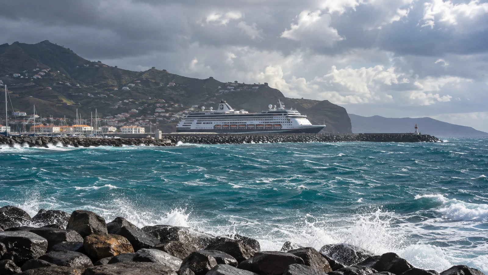
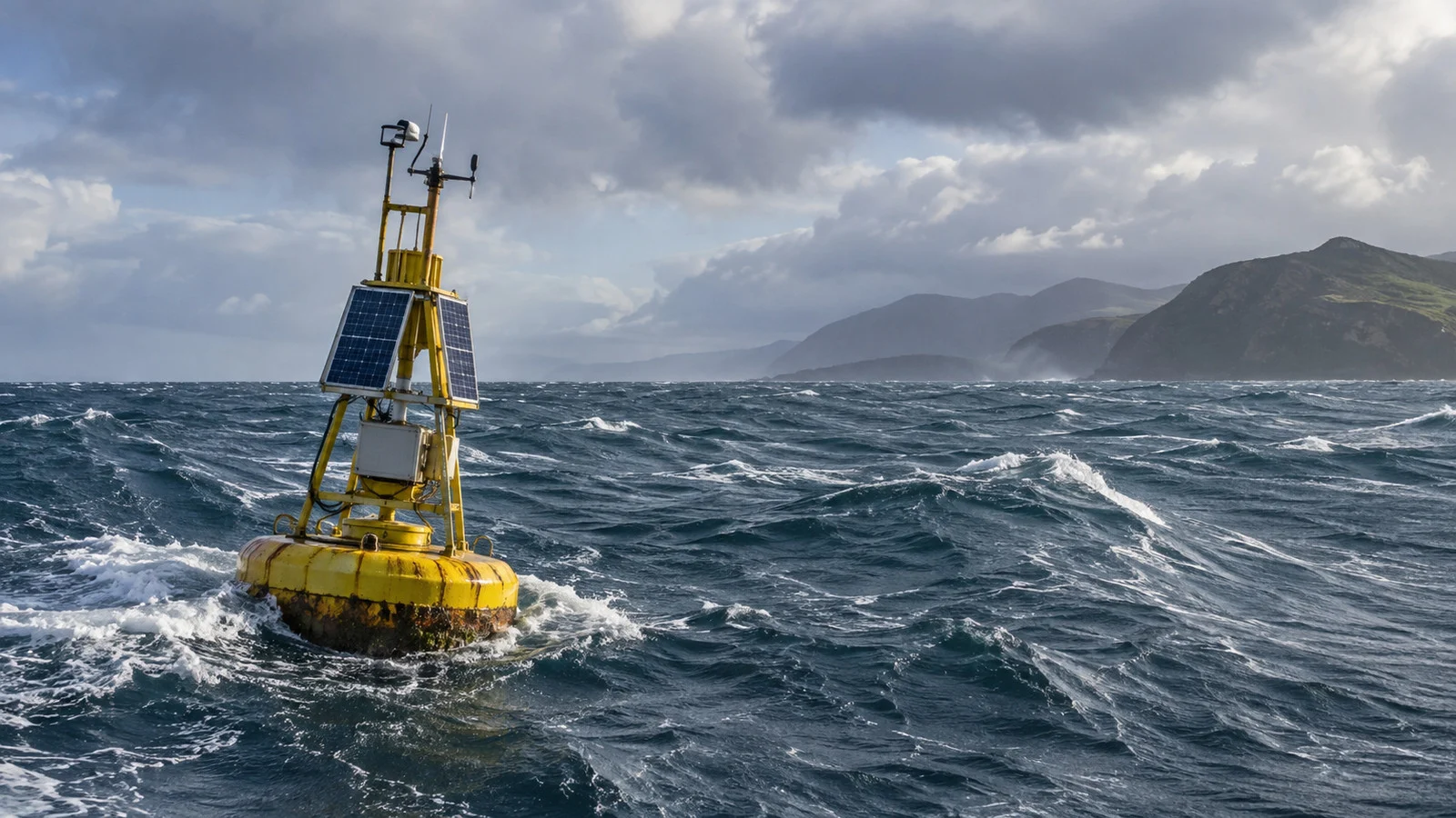
A forecast estimates future conditions across a zone or at a selected point. A buoy records recent conditions at its own position, so the two products answer different questions.
Check a buoy’s map position, observation time, and available measurements before using it. The closest buoy to a port may sit on the sheltered side of land, while the ship will cross exposed water elsewhere.
A single observation is less useful than a trend. Several readings showing rising wind and seas can confirm that conditions are building, while one isolated spike may not describe the broader route.
Do not call buoy data “unfiltered” or assume it updates continuously. Stations have different sensors and reporting intervals, and data can be delayed or unavailable.
A fast three-stage check
- About 48 hours before: find the correct marine zones for the exposed parts of the route. Note any developing system, broad warning area, and whether conditions are forecast to build or ease.
- About 24 hours before: reread the newest forecast for the actual transit and port-approach times. Compare it with relevant buoy observations and official tropical products when applicable.
- On the day: rely on the ship’s announcements, cruise-line app, and crew instructions for operational changes. Public data cannot overrule a captain, port authority, pilot, or tender crew.
- For a tender call: watch the forecast during the transfer window, not only overnight. The guide to rough seas and tendering covers why conditions alongside the tender platform and landing can be decisive.
- For an accessibility plan: identify shorter indoor routes, secure loose equipment, and ask guest services about assistance before conditions worsen. The list of wheelchair-friendly cruise ports can also help at the booking stage.
Fun fact: when a forecast says seas are 6 feet, it does not mean every wave is 6 feet. It describes a statistical sea state in which many waves are lower and some are higher.
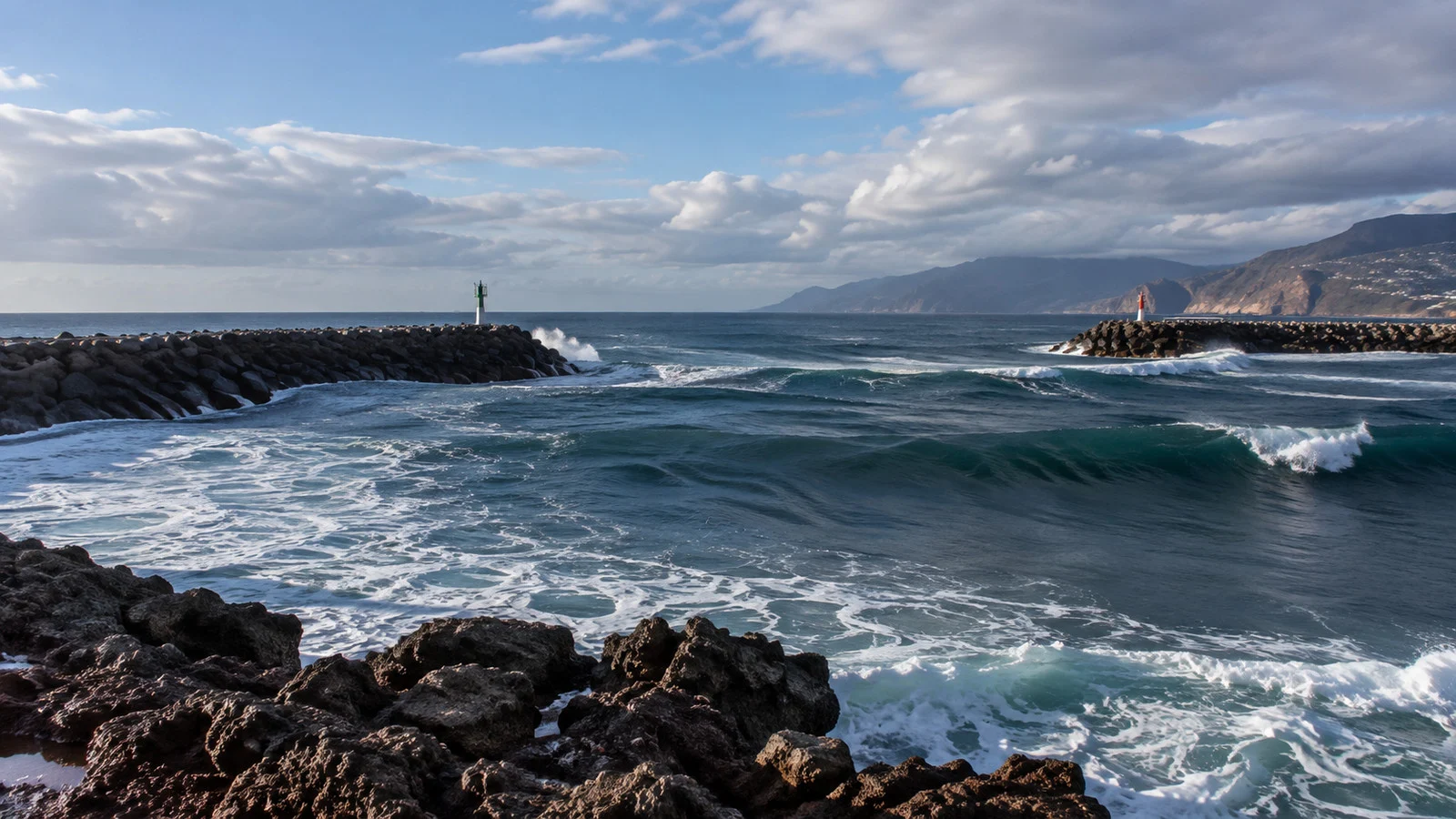
Preparing for motion without guessing
If you are prone to motion sickness, make a plan before sailing rather than waiting for a dramatic forecast number. The CDC Yellow Book says medication is generally more effective before motion exposure than after symptoms begin.
Motion-sickness medicines can cause drowsiness and other side effects, and some have important contraindications. Ask a clinician or pharmacist what is appropriate for you, especially for children, pregnancy, glaucoma, urinary-retention risk, other health conditions, or interactions with other medicines.
The CDC also lists non-drug measures that can help, including looking at the horizon, reducing reading and visual scanning, limiting head movements, and avoiding areas of greatest motion. Being sleep-deprived can worsen susceptibility.
On many ships, lower and more central areas tend to experience less motion than high decks and the ends of the ship. That is a useful booking preference, not a promise of a motion-free cabin.
Accessibility and safer movement onboard
Ship motion can turn a comfort problem into a fall or transfer risk. Use handrails, wear secure footwear, keep mobility devices locked or secured when parked, and avoid carrying items that prevent a free hand.
Ask guest services about assistance and the least exposed indoor route before you need it. If the ship restricts access to an open deck or suspends a tender, follow the crew’s direction even if the public forecast appears mild.
Tender access is especially dependent on the movement between the ship, tender, and landing. Review how tender ports work before booking if steps, gaps, transfers, or balance are concerns.
Season and geography still matter
Some routes are more exposed than others, but seasonal shorthand is not a substitute for a current forecast. A sheltered passage can become windy, and a normally lively crossing can be calm.
Caribbean winter trade winds and distant Atlantic swell can affect exposed island approaches, including the tender conditions discussed in the guide to Christmas winds in the Caribbean. Check the actual zone and timing rather than assuming every winter sailing will be rough.
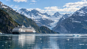
Many Alaska Inside Passage segments have protection from the open Pacific, while Gulf of Alaska routes can include more exposed water. Rain, visibility, and wind can matter ashore even when swell is limited, as the Alaska heavy-rain guide explains.
The Bay of Biscay, North Atlantic, and parts of the Mediterranean can all produce rough periods, particularly around changing weather systems. Shoulder-season pricing alone cannot tell you what a specific sailing will meet.
Quick answers
What wave height is rough for a cruise ship:
There is no universal number. Height, period, direction, currents, ship design, course, speed, and individual sensitivity all affect the experience.
What dominant wave period means:
It is the period associated with the most energetic wave component in an observation or forecast. It is useful context, but it does not describe every wave system present.
Whether a Small Craft Advisory should worry a cruise passenger:
It should prompt you to read the local hazard details, especially for a tender or small-boat excursion. It is not a cruise-ship operating limit, and local advisory criteria vary.
Whether a ship can avoid rough weather:
A ship may alter course, speed, or itinerary when operationally appropriate, but passengers cannot predict that decision from a public forecast. Follow official ship communications and review how hurricane-season itinerary changes work.
Where to see live sea conditions:
Use the National Data Buoy Center for observations and verify the station’s location and timestamp. Then compare those readings with the official forecast for the ship’s route.
The last word
A good forecast check is less about finding one magic number and more about matching place, time, and trend. Read the zone, wind and warnings, combined seas, swell components, and the latest observations in that order.
Let the data help you prepare for comfort and mobility needs, but leave navigation and port-operation decisions to the professionals with ship-specific information. That is the honest line between useful planning and false precision.
How this guide was researched: This guide is based on independent research using official marine-weather and health sources. Wave statistics and forecast products were checked against the National Weather Service, observations against the NOAA National Data Buoy Center, and motion-sickness guidance against the CDC Yellow Book; details were reviewed in September 2026 under our Editorial Policy.
More on this topic: browse every guide on weather, crowds and conditions.