Acajutla Cruise Port: El Salvador Volcano & Flower Route
I love a port that quietly overdelivers, and Acajutla is one of them. This gritty Pacific harbor is your gateway to El Salvador’s volcanoes, Maya ruins, coffee towns, and warm beaches.
My quick take
Acajutla is not pretty at the dock, and I want to be honest about that up front. You land in a busy commercial cargo port, so the magic is all inland and along the coast, not at the pier itself.
The good news is that ships tie up alongside here, so you step off on a gangway rather than a small boat. If you are unsure what that means, here is my explainer on what a tender port is and why Acajutla is not one.
My honest advice is to pick one lane for the day and commit. Go highland and cultural, or go coast and relaxed, because trying to do both leaves you stuck in a van watching the clock.
Quick Facts
- Where you land: the commercial pier at the Port of Acajutla, one of El Salvador’s main cargo ports, on the Pacific coast about 53 miles west of San Salvador.
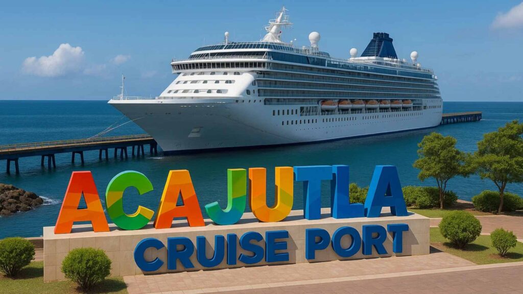
- Dock or tender: Ships dock alongside the commercial pier, so you walk off by gangway rather than tender.
- Into town: The port is industrial and secured, so passenger movement may require a ship shuttle or escorted transfer to the authorized pickup point. Follow the current instructions for your call.
- Currency and language: The US dollar and Spanish.
- Time zone: Central Standard Time (CST, UTC−6) all year.
- Schedule risk: No official public cancellation rate is available. Severe Pacific weather, berth operations, or itinerary changes can disrupt the call.
The berth and the logistics
Acajutla is one of El Salvador’s main commercial ports, and cruise calls share space with cargo operations. You will not find a boardwalk, a terminal mall, or cafes waiting at the gangway.
Because this is an active cargo port, passenger movement follows the port and ship’s instructions and independent pier walking may be restricted. A shuttle or escorted pickup is common, but its destination changes by call, so do not assume a beach drop.
Plan for the authorized port transfer before your independent road day begins. Download maps, operator contacts, and meeting instructions before arrival rather than depending on pier connectivity.
If you booked a private guide or independent tour, confirm the exact meeting point in writing. Pickup access can change with the berth and security plan, so never assume the guide can meet beside the ship.
Getting around
Your options here are simple, and I recommend deciding before you disembark. The port is not a place to wing it once you are ashore.
A ship excursion offers the strongest delay protection and handles the secure-port meeting point, although the exact promise is governed by the line’s terms. A vetted private tour gives a smaller group and flexible stops but makes the return margin your responsibility.
Private drivers and small licensed operators give you flexibility and smaller groups. Expect to negotiate clearly, agree on whether the fare is round trip, and confirm they will return you with margin to spare.
Taxi availability and authorized pickup locations can vary by call, so confirm the return arrangement before leaving the port area. For an inland circuit, a prearranged licensed driver is more dependable than hoping to find a vehicle for the trip back.
For a tight port day, use major roads and a licensed local operator who knows the current access rules and traffic patterns. The US State Department’s June 25, 2026 advisory also recommends daylight intercity travel and certified local guides for backcountry hikes.
The stops I would actually spend time on
El Salvador packs a lot into a small country, and Acajutla sits within reach of the best of it. The official tourism board at El Salvador Travel leans hard on volcanoes, coffee, and Maya heritage, and honestly they are right to.
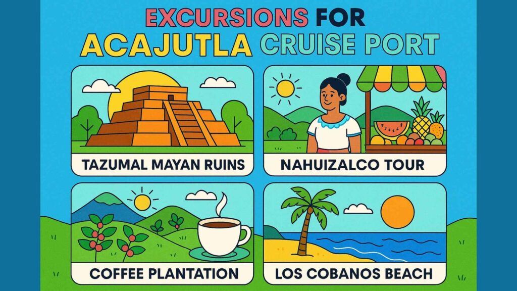
Ruta de las Flores (Ataco and Juayua). This winding highland route strings together coffee towns like Nahuizalco, Salcoatitan, Apaneca, Juayua, and Concepcion de Ataco.
Ataco is the easy visual stop for painted murals, crafts, and a compact center. Juayua is known for its weekend food festival, but event schedules and vendor lineups should be confirmed before building the whole excursion around it.
Fun fact: The Flower Route connects highland communities known for coffee, gardens, crafts, and colorful streets, but the exact bloom and harvest experience changes with the season.
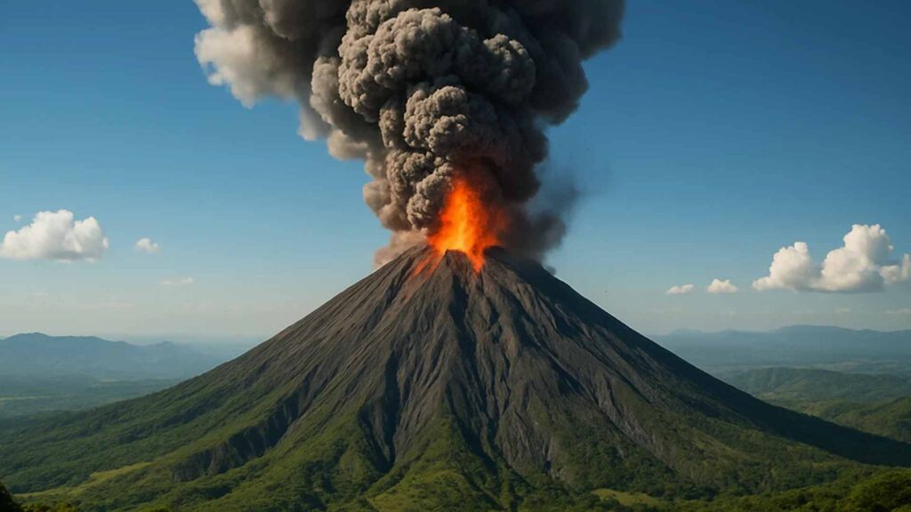
Santa Ana volcano, Izalco, and Lake Coatepeque. Santa Ana, known locally as Ilamatepec, is the highest volcano in the country and crowns Cerro Verde National Park.
The Santa Ana summit is a strenuous, exposed hike with registration, guide, weather, and access rules that can change, not a casual moderate walk. On most cruise calls, a Cerro Verde viewpoint and Lake Coatepeque are the safer scenic combination unless the line sells a timed summit hike.
Fun fact: Santa Ana rises to roughly 7,749 feet and last erupted in 2005, its first eruption in more than a century. Its neighbor Izalco once glowed so consistently that sailors nicknamed it the Lighthouse of the Pacific.
Joya de Ceren, the Pompeii of the Americas. This is the one site I would prioritize for history lovers, and it is El Salvador’s only UNESCO World Heritage cultural site.
A Maya farming village was buried under volcanic ash around AD 600, which froze ordinary daily life in place. You can read the full inscription details on the UNESCO World Heritage listing.
Fun fact: Because it preserved farmers rather than kings, Joya de Ceren revealed sleeping mats, gardens, and stored food, a rare window into everyday Maya life that most ruins cannot offer.
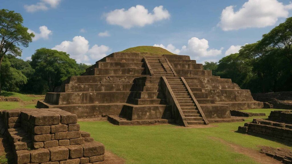
Tazumal ruins at Chalchuapa. If Joya de Ceren is about daily life, Tazumal is about monumental stone, with a restored stepped pyramid in the Santa Ana department.
It sits within the wider Chalchuapa archaeological zone and was occupied for well over a thousand years. It pairs naturally with a Santa Ana city or Ruta de las Flores day.
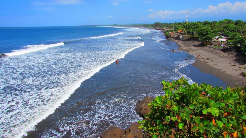
The beaches. Los Cobanos is the standout for cruisers, with a rocky reef that offers some of the only reef snorkeling in this stretch of Central America.
Surfers may prefer the black-sand breaks farther along the coast. For a simple sun-and-seafood day, use a ship excursion or prearranged beach transfer that confirms the pickup place and return time.
How I would plan the day
Use your itinerary’s actual call length because Acajutla schedules vary, and allow for the secure-port shuttle before the road day begins. Inland drives can consume several hours, which is why one geographic lane works best.
For scenery, leave early for Cerro Verde viewpoints and Lake Coatepeque, adding Santa Ana city only if traffic and opening hours fit. Attempt the volcano summit only on an excursion designed around its registration window and physical demands.
For a history day, I would pair Joya de Ceren with Tazumal or a Santa Ana city stroll. Both ruins are closer than the volcano summit, which leaves a gentler schedule.
For an easy day, I would do Los Cobanos snorkeling or a simple beach and pupusa lunch. This is the low stress choice if the ship is only in port for six hours.
Whatever you choose, carry a modest amount of small US dollar bills for food stalls, vendors, and tips. Confirm card acceptance in advance and do not make the return plan depend on finding an ATM near the port.
Work backward from the ship’s posted all-aboard time and add margin for highway traffic, the security gate, and any required port shuttle. Follow the cruise line’s stated cutoff even when an independent operator suggests a tighter return.
A realistic word on accessibility
I want to set expectations honestly here. Acajutla and its inland highlights are not built around step free access.
The volcano summit involves loose rock, elevation, heat, and no step-free route. Ask Tazumal and Joya de Cerén about current accessible paths and open structures, since excavation zones and maintenance can change what is viewable.
The coffee towns are charming but cobbled, which makes wheels and canes hard work. Your most accessible options are a scenic drive with paved viewpoints, Lake Coatepeque, or a beach day with van support.
On safety, El Salvador has transformed in recent years, and the US State Department currently lists it at its lowest advisory level. You can check the latest guidance on the US State Department country page before you sail.
When to go, and the weather
Cruise schedules on this coast vary by line and season, so use the dates published for your sailing rather than assuming a fixed local cruise season. The generally drier months can be more comfortable for highland outings, although visibility and trail access still change day by day.
Expect warm, humid coastal days in the 80s and low 90s Fahrenheit. The highlands feel noticeably cooler, so a light layer helps on the volcano.
The wetter season generally runs from May into October and can bring heavy rain, landslides, or changing trail conditions. Check official weather and excursion notices before committing to a volcano or long inland drive.
Pack sunscreen, a hat, bug repellent for inland stops, and sturdy shoes if a volcano is on your list. A swimsuit and towel cover the coastal plan.
Quick answers
Do ships dock or tender at Acajutla?
Ships normally dock alongside at the commercial pier, so a tender is not usually needed. Follow the port notice for the required shuttle or escorted route through the industrial zone.
What currency do I need?
The US dollar is the official currency of El Salvador. Bring small bills, because vendors and rural spots are often cash only.
Can I walk into town from the port?
Independent walking may be restricted inside the working port, so follow the ship and port instructions and use the authorized shuttle or transfer route provided for the call.
What is the single best excursion?
For scenery, the Santa Ana volcano and Lake Coatepeque combo is hard to beat. For history, Joya de Ceren paired with Tazumal is my pick.
How Acajutla compares
If you are stitching together a Central American itinerary, Acajutla is the raw, adventurous stop rather than the polished one. It rewards travelers who plan ahead and embrace a bit of grit.
Compared with the busy, tourist ready calls in my Mexico cruise ports guide, Acajutla feels far less commercial and much more local. You trade beach clubs and duty free for volcanoes and coffee towns.
Set against the ports in my Panama cruise ports guide, Acajutla swaps the canal spectacle for highland culture and Maya history. Both are rewarding, just in very different ways.
My bottom line is simple. Come to Acajutla curious, pick one lane, book a trusted guide, and El Salvador will surprise you in the best way.
How this guide was researched: This guide uses current information from El Salvador’s official tourism site, UNESCO’s Joya de Cerén listing, the US State Department’s June 25, 2026 travel advisory, and port or operator guidance where available. Berth access, authorized transfers, road safety, archaeological visits, volcano planning, and weather cautions were reviewed on September 11, 2026; see our Editorial Policy.