Amazon Cruise Ports: Manaus, Santarem, Iquitos and the Ships That Sail Upriver
An Amazon cruise may mean an ocean ship reaching Santarem or Manaus, or a small expedition vessel reached through Iquitos or Manaus. Those products use different ports, boats, seasons, excursions, accessibility rules, and health preparations.
The quick take
For wildlife-focused days, a small expedition boat usually offers more time in skiffs and side channels. Aqua Expeditions, for example, currently lists Peruvian Amazon vessels carrying 32 and 40 guests.
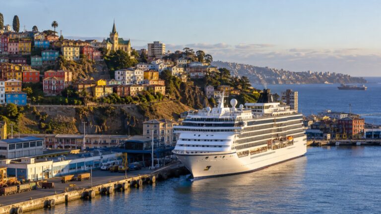
An ocean ship offers a different experience: long stretches on the main river, a stronger sense of scale, and calls at larger ports. It is better treated as a scenic passage with port days than as a substitute for an expedition cruise.
Shore access and small-boat exploration vary by ship and itinerary. Read the excursion details carefully, because some ocean itineraries rely mainly on coaches and local boats while expedition cruises build more of the day around skiffs and guided trails.
Treat the two as separate vacations rather than direct substitutes. Choose the smaller vessel for expedition-style outings, or the ocean ship for the river passage and larger-city calls.
The quick facts
- Where you land: in Manaus, at the floating harbor in the city center. The Porto de Manaus describes itself as the largest floating port in the world and says it can work four ships at once, with extra fixed berths available in the high water season.
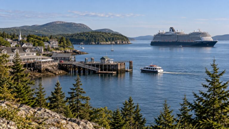
- Dock or tender: Manaus and Santarem have alongside facilities, but the assigned berth, ship size, river level, and port operation can still require a launch or tender. Iquitos expedition itineraries use smaller riverboats and skiffs rather than the same ocean-ship port model.
- Into town: Central Manaus begins near the port, but the floating ramp, traffic, broken paving, curbs, and heat can make the short distance demanding. Confirm the gate and transport rather than treating the map as a step-free route.
- Currency and language: Brazil uses the real and speaks Portuguese, not Spanish.
- Time zone: Manaus uses Amazon Time, UTC-4; Santarem uses Brasilia Time, UTC-3; and Iquitos uses Peru Time, UTC-5. None observes seasonal clock changes, so check the ship’s time before every independent outing.
- Health paperwork: recommendations and certificate requirements depend on the itinerary, medical history, recent travel, and onward countries. The UK Foreign Office lists yellow fever, dengue, chikungunya, and oropouche among the risks in its Brazil travel advice and tells travelers to check vaccination recommendations at least eight weeks ahead.
- Getting around cost: agree on the fare or use an official taxi or available ride-hailing service in Manaus. Options are much more limited in small river communities, so confirm what the cruise line provides.
- How often the call is missed: no reliable route-wide percentage is published. River levels, berth availability, weather, and local operations can alter a call.
Two entirely different boats, one word on the itinerary
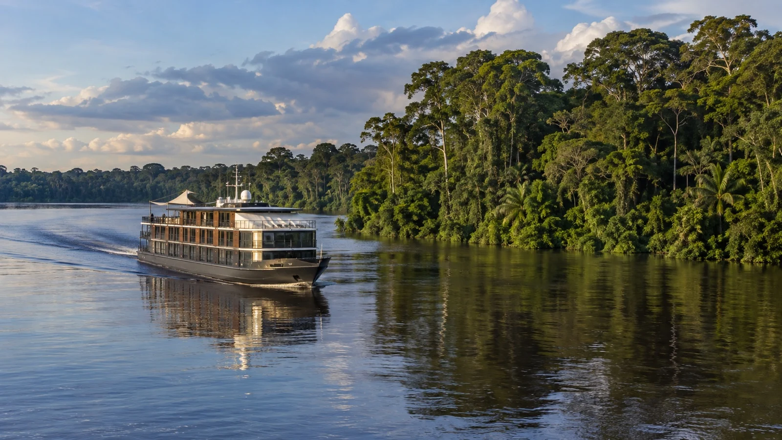
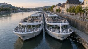
The small-ship product runs mostly out of Iquitos in Peru and, on the Brazilian side, out of Manaus. Boats are shallow-draft, air-conditioned, and typically carry somewhere between eight and forty guests.
Skiffs are central to many expedition itineraries, taking guests into side channels that the main vessel cannot enter. The timing and number of outings vary by operator, season, and river conditions.
Ocean itineraries are often repositioning or round-trip voyages that enter near the river mouth and continue along navigable main channels. Their draft limits access to many smaller waterways.
That distinction shapes the experience. Deeper-draft ships remain on suitable channels, while excursion craft and expedition vessels can reach narrower waterways when local conditions allow.
The distance nobody quotes you
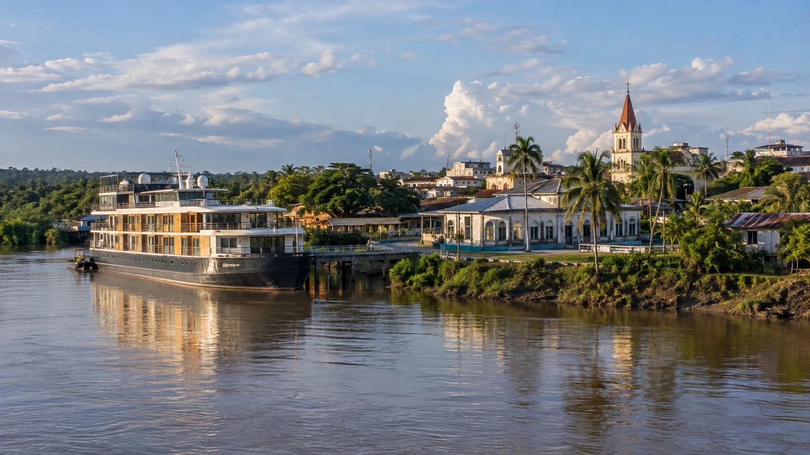
Manaus lies roughly 900 river miles from the Atlantic. Reaching it is a substantial passage rather than a short detour.
Ocean ships may spend multiple days sailing upriver and back, depending on speed, routing, and port calls. Check the day-by-day itinerary so you know how much time is river transit.
Do not expect a wall of jungle. For long stretches the Amazon is so wide that the far bank is a smudge, and the trees are a green line rather than a forest.
Why the dock floats
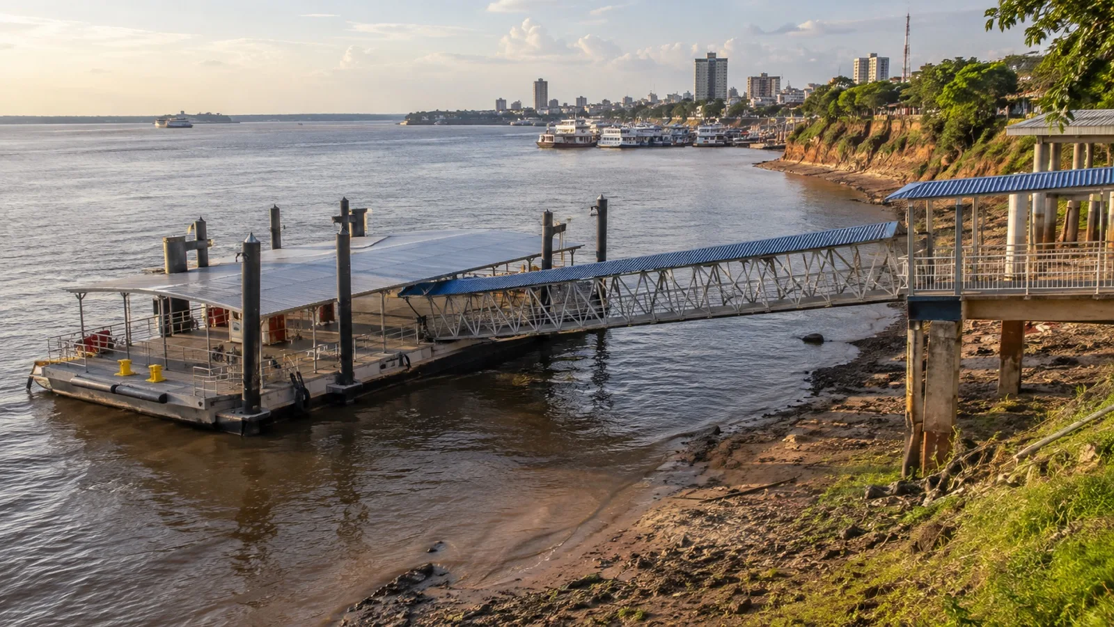
The Manaus harbor is built on pontoons connected to the shore by a hinged ramp, and it rises and falls with the river. The floating design accommodates the river’s large seasonal rise and fall.
The Rio Negro at Manaus can change by more than 30 feet between its annual low and peak. Floating facilities keep the working level aligned with the river.
Ask the cruise line or port operator for current river-level, draft, and berth information before sailing. Lower water can reduce available depth and make the shore ramp steeper.
That ramp is the part passengers actually notice. In low water it is a long, angled walk up to street level, and in a very low year it is the steepest gangway of the whole cruise.
High water, low water, and which one you want
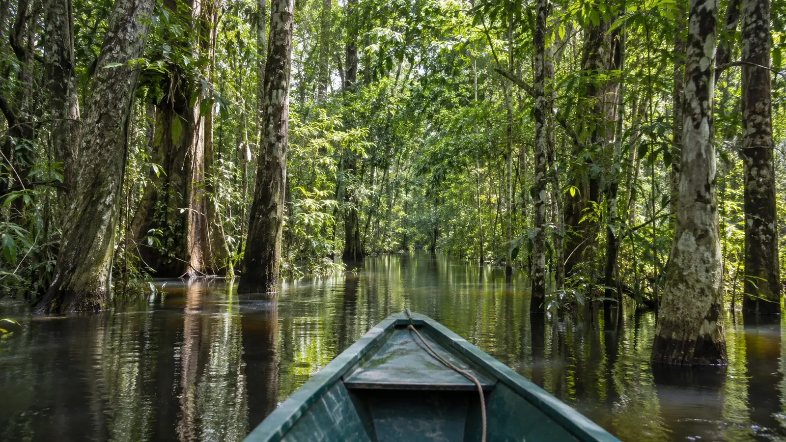
The Amazon has one flood pulse a year, not four seasons. Water rises through the first half of the year, peaks around the middle of it, then falls away to a low point late in the year.
High water may open flooded-forest routes to skiffs while covering beaches and limiting some walks. Exact access and wildlife sightings vary by tributary, week, and guide.
Low water may expose sandbars, beaches, and walking routes, while narrowing channels and restricting access to some side rivers. It can also change wildlife-viewing patterns and small-boat landing arrangements.
Choose by the activities offered on the exact river: high water often favors flooded-forest boating, while lower water may favor beaches and walks. Both seasons are hot and humid.
Match the season and health plan to the exact river
Do not apply one Amazon water calendar to the whole basin. Manaus, Santarem, and the Peruvian tributaries near Iquitos reach high and low water at different times, so ask the operator what the chosen week means for skiff routes, forest walks, beaches, heat, insects, and transfer ramps.
Brazilian or Peruvian entry permission depends on nationality and arrival method, while yellow-fever certificate rules depend partly on recent travel and onward countries. Take the full itinerary to official immigration sources and a travel-health clinician, and discuss malaria prevention, mosquito avoidance, heat, and remote medical evacuation.
Skiffs and local boats often have no lift, no level boarding, and no safe space for a large mobility device. Get the operator’s step heights, transfer method, weight limits, device policy, and alternate activities in writing before buying flights.
Wildlife viewing belongs with trained guides in the boat or on approved trails. Do not swim, feed animals, remove plants, or leave marked routes in protected areas, and follow local rules even when a social-media photo makes a closer approach look harmless.
Stops worth planning around
- Manaus: the largest city on many Amazon itineraries and a major embarkation point. Central sights include the opera house and Adolpho Lisboa Municipal Market, but heat, traffic, paving, and the assigned gate can make transport useful.
- Teatro Amazonas: the rubber-boom-era opera house stands on a mosaic plaza in central Manaus. Check the official schedule for current tour hours and performances.
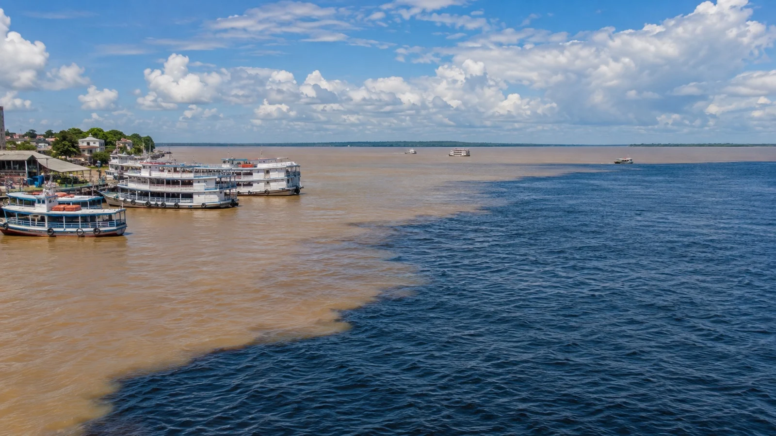
- The Meeting of the Waters: the confluence below Manaus where the dark Rio Negro runs beside the sediment-rich Solimões before the waters gradually mix. Viewing arrangements vary between scenic sailing and a separate small-boat excursion.
- Santarém: another prominent confluence, where the Tapajós meets the sediment-rich Amazon. The city is also the usual gateway for excursions to Alter do Chão.
- Alter do Chão: seasonal white-sand river beaches on the Tapajós, reached by road from Santarém. Beach exposure and boat access change with water levels, so confirm the day’s plan and follow local swimming guidance.
- Parintins: an island city known for the annual Boi-Bumbá festival and its Garantido and Caprichoso teams. Cruise-day cultural performances outside the festival period vary by itinerary.
- Boca da Valéria: a small community call where arrangements vary by cruise line. Follow operator guidance on photography and purchases, avoid wildlife handling, and choose interactions that respect residents and animals.
- Iquitos: the main Peruvian gateway for many upper-Amazon cruises. It has no road connection to Peru’s national road network, so most cruise travelers arrive by air and continue by river.
Fun fact: the forest either side of the confluence at Manaus is protected as the Central Amazon Conservation Complex, which UNESCO identifies as the largest protected area in the Amazon Basin. It includes the Anavilhanas archipelago upriver of the city, one of the largest river island systems anywhere.
How to plan the day
In Manaus, pair central sights with a water excursion only if the port schedule leaves enough margin. Distances may look short, but heat, traffic, paving, and the assigned berth can slow the day.
If the ship does not include a clear scenic passage, compare its Meeting of the Waters excursion with licensed local options. Leave a conservative return margin and confirm where the boat departs.
At smaller calls, follow the operator’s landing plan and local guidance. Paths, heat, crowding, and available transport differ widely between communities.
A realistic word on accessibility
Manaus can offer an alongside floating berth, but the gangway or ramp changes angle as the river rises and falls and an operational call can use another arrangement. Beyond the gate, uneven paving, curbs, traffic, heat, and heavy rain make the center less accessible than its short map distance suggests.
The shore ramp can be the main barrier. Its slope changes with the river, so ask the cruise line for the current boarding arrangement and mobility assistance policy.
Tender calls at small ports can require steps and transfers into a moving boat. The master and crew make the final decision, so ask in advance what happens if a guest cannot transfer safely.
Small riverboats may require repeated skiff transfers without level boarding or space for a large mobility device. Get the operator’s transfer method, assistance limits, and alternative activities in writing before booking.
When to go, and the weather
Amazon ports are generally hot and humid throughout the year, but rainfall and river levels vary by location and season. Check official forecasts for each stop shortly before sailing.
Pack light, breathable clothing, rain protection, sun protection, and water. A dry bag or waterproof pouch is useful on small-boat outings.
Rain patterns differ across this enormous basin, and showers are possible in any month. Use the operator’s river-specific guidance rather than a single Amazon weather calendar.
Malaria risk and vaccine advice vary by exact location, personal health, and itinerary. Review official guidance, including the World Health Organization overview, and book a travel-health appointment well ahead.
Quick answers
How far up the Amazon do cruise ships go?
Manaus is a common turning point for ocean ships, roughly 900 river miles from the Atlantic. Some itineraries continue farther, so check the route rather than assuming every voyage ends there.
Do Amazon cruises use small boats? Expedition riverboats use skiffs frequently, while ocean-ship equipment and locally chartered excursion boats vary by operator.
Read the vessel and excursion description rather than assuming every ship carries or never carries a Zodiac.
Do I need a yellow-fever vaccination? Official recommendations and certificate requirements depend on the exact region, medical history, recent travel, and onward countries.
Take the full route to a travel-health clinician well before departure instead of relying on a cruise forum.
Is Manaus safe to walk from the ship?
Conditions around the port can change, and a short map distance is not a guarantee of a comfortable or secure walk. Follow current official travel advice, use arranged or licensed transport when appropriate, and confirm the return gate with the ship.
High water or low water for an Amazon cruise?
High water may favor flooded-forest boating, while lower water may expose beaches and walking routes. Wildlife and channel access vary by tributary and week, so ask the operator what the selected departure usually offers.
The last word
The word Amazon can describe two very different cruise products. Decide whether you want an expedition itinerary or an ocean-ship passage before comparing prices.
If it is the ocean version, read the port days properly first. Our guides to the Manaus cruise port and Santarém cover local arrival details, while the Alter do Chão guide explains the seasonal river beaches.
For the wider picture, the Brazil cruise ports overview explains how these river calls fit alongside Rio and Salvador. The Peruvian side sits in our Peru cruise ports roundup, which includes Iquitos.
Whichever product you choose, build flexibility into the plan. River conditions and local operations can change schedules.
How this guide was researched: Unless a first-hand visit is explicitly identified above, this guide is based on independent research using official port, tourism, transit, government, and attraction sources where available. Berth information was checked against the Porto de Manaus operator, protected-area details against UNESCO, vessel capacities against Aqua Expeditions, and health guidance against the UK Foreign Office and the World Health Organization.
Logistics and time-sensitive details were reviewed on September 12, 2026. See our Editorial Policy.