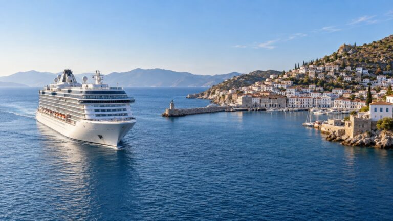
Sargassum Season Month by Month: Which Caribbean Ports Get Hit
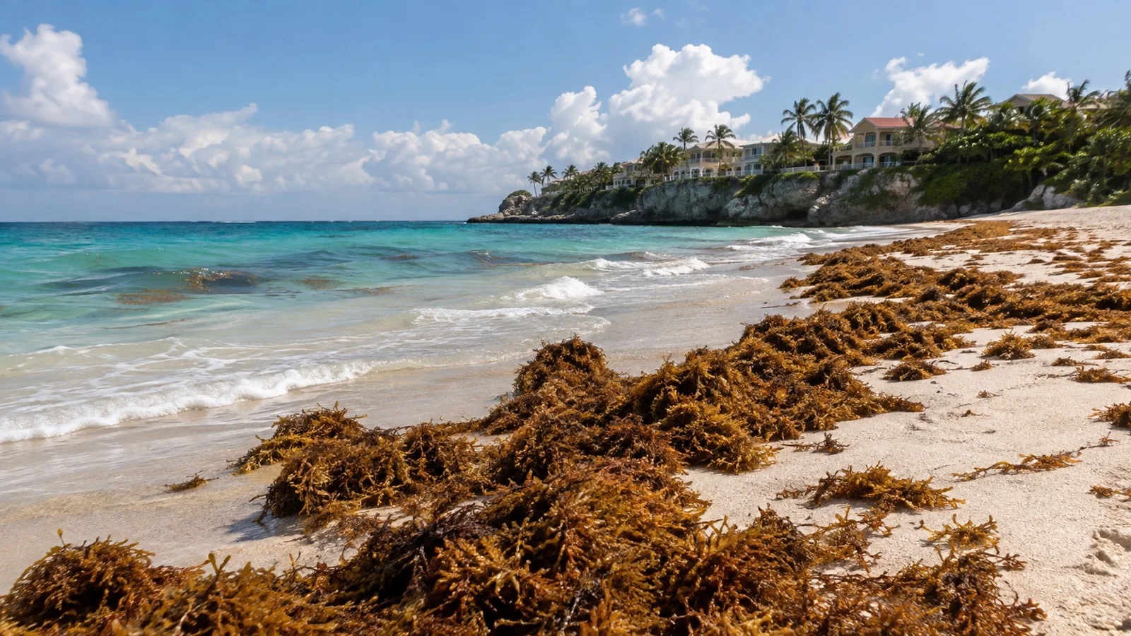
You walk down to the sand you have been thinking about since January and find it shin deep in brown seaweed that smells like a gas leak. Sargassum does not ruin cruises, it ruins beach days, and the difference matters when you are choosing where to spend money.
My quick take
Sargassum is the most predictable unpredictable thing in Caribbean cruising. The season has a shape you can plan around, but the exact week your ship shows up is a coin flip, so I plan the coast instead of the calendar.
What I actually do is simple. I assume any east or southeast facing beach between April and September might be buried, I book the boat trip instead of the shore day when I have the choice, and I keep the beach club as the part of the plan I can drop without losing money.
The quick facts
- What it is: A free floating brown seaweed that spends its whole life at sea and washes ashore in mats.
- When it started: A belt of it has formed across the tropical Atlantic most years since 2011.
- The season: Builds through spring, usually peaks in early summer, eases through fall, quiet in winter.
- The geography rule: East and southeast facing coasts catch it, western leeward coasts mostly do not.
- The real cost: A wasted beach day and a bad smell, not a canceled port call.
What sargassum is, and why it turned into an annual event
Sargassum is a brown seaweed that never attaches to the bottom. It drifts in rafts on the open ocean, and those rafts are genuinely useful habitat, holding crabs, shrimp, small fish and young sea turtles.
The problem is not the seaweed existing. The problem is how much of it there is now, because since 2011 a belt of it has formed across the tropical Atlantic in most years, stretching from West Africa toward the Gulf.
That belt is thousands of miles long and it is not something a resort caused or can fix. Pieces of it break off, ride the currents west, and land wherever the wind puts them.
Month by month, what the season usually looks like
This is a pattern, not a timetable. Treat it as the shape of a normal year and expect any given year to slide a few weeks in either direction.
- December to February: The quiet stretch. Beaches are generally at their cleanest and the belt is still gathering out in the central Atlantic.
- March: First arrivals show up in the eastern Caribbean. The Lesser Antilles feel it before anyone else because they are the front door.
- April: Volumes climb and windward beaches start needing daily cleanup. Leeward coasts are usually still fine.
- May: Widespread and obvious. This is when the bad photos start circulating and when the mainland Mexican coast typically gets serious about clearing it.
- June and July: Usually the peak. Recent years have hit their annual maximum in June, and heavy years stack their records into exactly these two months.
- August: Still heavy, often barely below the peak. Cleanup crews are working every morning at this point.
- September and October: Easing, but still landing. Beaching events keep happening, just not at summer intensity.
- November: The turn. Amounts usually keep falling through this month and back into the quiet stretch.
The peak month genuinely moves. Some years it lands in May, some years in July, and a brutal June can be followed by a tolerable August or the other way around.
The geography rule that does most of the work
Trade winds in the Caribbean blow out of the east, and the surface currents run the same way. Floating seaweed goes where the wind pushes it, which means east and southeast facing shorelines catch it first and hardest.
The flip side is the useful part. A west facing beach sits in the wind shadow of its own island, so the island acts as a breakwater and the sargassum mostly never arrives.
Two beaches on the same island, twenty minutes apart, can be completely different on the same morning. One is a brown mat you can smell from the parking lot and the other looks like the brochure.
Most people pick a sailing month to dodge sargassum and then book an east facing beach anyway, which is the wrong lever entirely. A leeward beach in July usually beats a windward beach in April.
Coast by coast, which side of the island you actually want
Here is that rule applied to places cruise ships actually call. The pattern repeats everywhere, so if your port is not on this list, pull up a map and find the sheltered side.
- Lesser Antilles generally: The Atlantic facing east coasts take the hits. The Caribbean facing west coasts, where the piers and most swimming beaches sit, come off far better.
- Barbados: The wild east coast around Bathsheba is the exposed side and always has been. The west coast and the sheltered water near Bridgetown are the calmer bet, though the south coast can catch some in a heavy stretch.
- Antigua: Windward eastern bays collect it while the leeward beaches nearer St. John’s usually stay swimmable.
- Grand Cayman: The east, south and north shores are the ones that collect. Seven Mile Beach faces west and is shielded from the easterly trades, which is why it keeps looking normal while East End crews rake daily.
- Turks and Caicos: The leeward tourist beaches around Grace Bay are usually clear. Windward facing shores, including exposed stretches of Grand Turk, are the ones that pile up.
- Quintana Roo mainland: Costa Maya, Playa del Carmen, Tulum and Cancun all face east into open water and are first in line every single year.
- Cozumel: The developed west side faces the mainland and is sheltered. The undeveloped east side takes the surf and the seaweed.
None of this is a guarantee, and a sustained wind shift can put weed somewhere it does not normally go. It does shorten the odds enormously, which is all you can really ask of a beach plan made three months early.
Cozumel versus the mainland is the clearest example there is
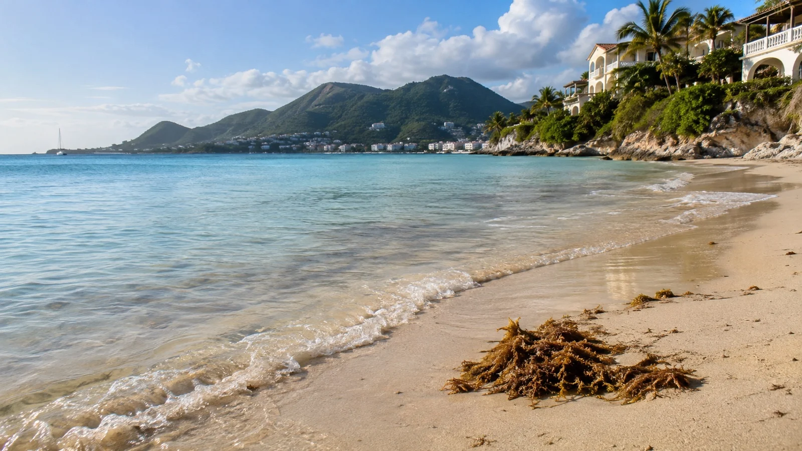
If you want one case that makes the whole rule obvious, this is it. The Riviera Maya mainland faces directly east into open water and catches sargassum before anywhere else in the western Caribbean.
Cozumel sits offshore across a deep channel, and the piers, the beach clubs and every place you would actually swim are on the western side. The island shelters its own good beaches, which is exactly why mainland visitors take the ferry over during bad stretches.
That is worth remembering when an itinerary hands you both. If you are weighing a beach day at each, my guide to getting around Cozumel covers where the west side beach clubs sit relative to the three piers, and the tradeoffs at the other end of that coast are in what to do in Costa Maya when the beach is buried.
The ABC islands are the easy case, mostly
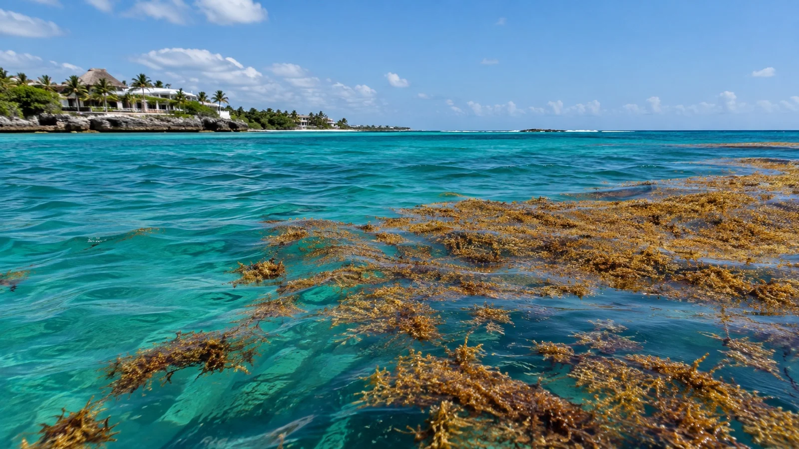
Aruba, Curacao and Bonaire sit far south and west, and their tourist beaches are almost all on the leeward side. That geography does most of the work before anyone picks up a rake.
Bonaire takes the most of the three and effectively shields the others, with the heavy accumulations landing at windward spots like Lac Bay. Curacao gets moderate amounts at exposed eastern places such as Sint Joris Bay, and Aruba sees a serious inundation only about once a year, at wild windward corners like Boca Grandi rather than along the resort strip.
If a summer sailing has one of these three on it, that is usually your safest beach day of the week. Which one to pick for every other reason is a separate argument, and I worked through it in a comparison of the three ABC islands.
Which ports take the worst of it in a heavy year
The eastern Caribbean gets it first because it is the front edge of the whole system. The Lesser Antilles chain, from the Windwards up through the Leewards, sees beaching events all summer on its Atlantic side.
The Mexican Caribbean mainland is the other reliable trouble spot, and Costa Maya is the cruise port most exposed to it. East facing resort coasts in the Dominican Republic and the southeast Florida coast round out the list in a big year.
Satellite based outlook maps for the Caribbean and the Lesser Antilles get updated through the season and will tell you whether you are sailing into a bad year or an average one. That is a broad brush answer rather than a beach level one, so use it to set expectations, not plans.
Which ports usually stay clear, and where that gets thin
The western Caribbean is the better half of the map in most years. Grand Cayman’s Seven Mile Beach, Cozumel’s west side, Belize and the ABC leeward coasts all tend to look normal while the eastern islands are dealing with it.
The caveat is that a record year erases some of that margin. Roatan’s West Bay sits on the western side of the island and still had a rough stretch in 2026, which is a fair reminder that “usually clear” is a probability and not a promise.
I would still take a leeward beach over a windward one every single time, and my Grand Cayman port guide gets into how the tender day works if Seven Mile Beach is your target. If you want ports where a good day happens without buying an excursion at all, the Caribbean ports that are easy on your own is the companion list.
What a cleaned beach actually looks like
Cleanup happens on three fronts. Floating booms strung offshore try to stop mats from landing, collection vessels intercept rafts in open water, and crews clear whatever gets through, usually at dawn before guests are up.
On the sand that means small tractors pulling rake attachments where the beach can take the weight, and hand raking everywhere else. Heavy equipment gets restricted in a lot of places because it chews up the beach and hauls away sand along with the seaweed.
A cleaned beach is not a pristine beach. Expect tractor tracks, a berm of stacked weed pushed to the back of the sand, and water near shore that still runs brown and cloudy after the sand looks tidy.
Mexico has leaned hardest into the offshore approach, with thousands of feet of anchored barriers along the Quintana Roo coast and dedicated vessels working the water outside them. It helps and it does not solve it.
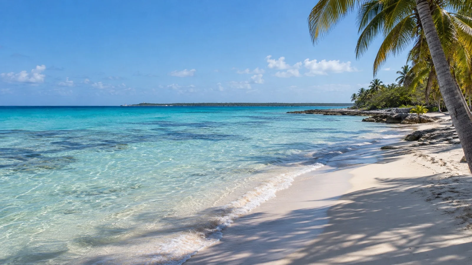
The smell, and the health part, kept short
Fresh sargassum floating in the water is unpleasant to swim through and basically harmless. The trouble starts when mats sit on hot sand and begin breaking down, which takes about two days.
Decomposing piles give off hydrogen sulfide, the rotten egg smell you can pick up from a block away. In open air on a breezy beach it is mostly an irritant, and the documented effects run to eye, nose and throat irritation plus headaches, with people who have asthma or other respiratory conditions feeling it soonest.
The other thing worth knowing is that the mats are full of life. Jellyfish larvae living in the weed can sting bare skin, and the standing advice is not to handle it with bare hands and to keep kids out of the piles.
If a beach smells strongly and someone in your group has a chest condition, that is the day to go somewhere else. It is not an emergency, it is just a bad place to spend six hours.
How I check conditions close to my sailing date
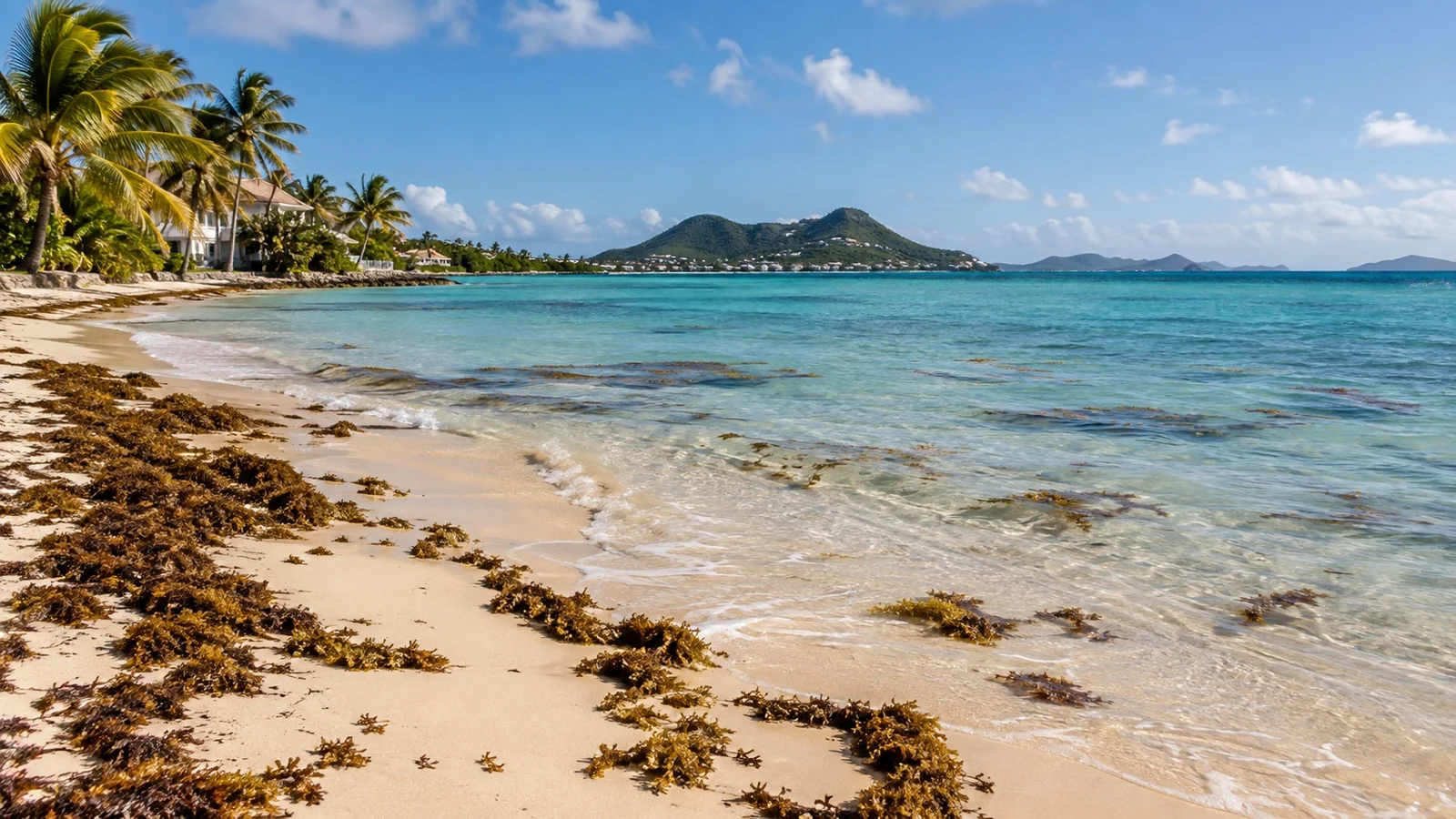
Two things, in this order. Satellite outlook maps tell me whether the region is running heavy or light this year and they get updated through the season, so a look four to six weeks out is worth more than anything I read in January.
Then I go looking for photos with dates on them. Recent traveler pictures and beach club social feeds from the last week or two beat any forecast, because seaweed moves faster than a monthly bulletin can track it.
Some destinations post their own condition updates and cleanup notices, and local tourism sites in the affected regions have gotten refreshingly blunt about it. One of the more honest local rundowns names which beaches accumulate and which stay clean, which is exactly the level of detail you want.
What to do instead when the beach is buried
A heavy sargassum day is not a lost port day. It is a lost beach plan, and there are usually four decent replacements inside a short taxi ride.
- Cross to the leeward side: On most islands the clean beach is a few miles (5 km) away on the other coast, and drivers at the pier know which one is working today.
- Buy a pool day pass: A hotel or beach club pass gets you a lounger, a pool and a restroom, and the pool does not care what the shoreline looks like.
- Snorkel from a boat: Reef trips that drop you offshore skip the beached weed entirely, and the water over a reef is usually clear even when the shore is not.
- Go inland or into town: Ruins, cenotes, markets and old town walks are completely unaffected, and they tend to be cheaper than the beach club anyway.
The boat option is the one I lean on hardest. It solves the problem instead of working around it.
Booking a beach day when you cannot see three months ahead
You are almost always booking excursions before you can know anything useful about conditions. So build the plan to survive being wrong.
For a summer sailing I would not prepay a non refundable beach club on an east facing coast. I would book the boat based things early and leave the sand based things for the week before, when photos exist.
Ship sold excursions are usually cancelable up to a day or two out, which is genuinely worth the markup on a July beach day. Independent operators vary a lot, and the refund window is the thing to read carefully before you click, not the reviews.
Quick answers
What months is sargassum worst in the Caribbean?
Generally May through August, with the annual peak most often falling in June or July. The exact peak month moves year to year, so treat that window as elevated risk rather than a fixed schedule.
Does Cozumel get sargassum?
The east side does, but the west side where the piers and beach clubs sit is sheltered by the island itself. That is why Cozumel usually looks far better than the mainland coast across the channel on the same morning.
Which Caribbean islands have no seaweed?
None are immune, but leeward western coasts stay clear far more often, and the ABC islands plus the western Caribbean are the reliable end of the range. In a record year even those places get occasional hits.
Is it safe to swim in sargassum?
The seaweed itself does not sting, but tiny organisms living in it can irritate bare skin, so it is unpleasant more than dangerous. The bigger issue is the gas from rotting piles on the sand, which can bother eyes, throats and asthma.
Should I cancel my beach excursion because of seaweed?
Only if it is a shore based beach day on an exposed coast and recent photos look bad. A boat based snorkel or a leeward beach is usually still worth doing.
Final word
Sargassum has been an annual feature of the Caribbean for well over a decade now, and it is not going away because a resort wants it to. The useful response is not avoidance, it is picking the right side of the island and keeping your beach plans cheap to change.
Check the outlook a month out, check photos the week before, and keep a pool or a boat in your back pocket. Do that and a heavy sargassum year costs you an afternoon of annoyance instead of the day you were most looking forward to.
How this guide was researched: This guide uses satellite monitoring bulletins, national environmental and health guidance and regional beach condition reports to explain seasonal patterns, coastal geography and health considerations. Sargassum volumes and the beaches affected change week to week, so confirm current conditions for your own port close to your sailing date; see our Editorial Policy.
More on this topic: browse every guide on weather, crowds and conditions.