Kimberley Cruise Ports: Broome, Darwin and a Coast With No Ports
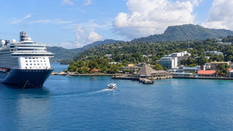
A Kimberley expedition has very little port infrastructure along the wild coast. Many cruises run between Broome and Darwin, while others use Wyndham as the eastern gateway with a road transfer through Kununurra.
Everything in between happens off the back of a Zodiac or a landing barge, on a schedule set by the moon rather than the cruise director. That is the single fact people underestimate when they book this trip.
Quick take
This is a highly changeable expedition itinerary shaped by tides, weather, and permits. If you need a fixed schedule several days in advance, it may not be the right fit.
Direction matters less than people think, but the eastern endpoint matters a lot for flights and transfers. A Wyndham sailing normally means a road journey to or from Kununurra, while Darwin gives you a major airport much closer to the berth.
Compare ship size, landing craft, and the published activity plan rather than assuming every vessel offers the same access. Smaller ships may reach tighter waterways, while the actual route remains conditional.
If a Mitchell Falls helicopter trip is important, check capacity and reserve through the operator when booking opens. Availability and cancellation terms vary by sailing.
The quick facts
- Where you embark: most voyages use Broome plus Darwin or Wyndham. The remote expedition sites between those gateways have no cruise terminals, so daily access is by small boat and beach, rock, or creek landing.
- How you get ashore: Zodiac or landing craft at the remote sites, sometimes onto sand and sometimes onto rock. You may use a gangway at an endpoint port, but not for the expedition landings that define the trip.
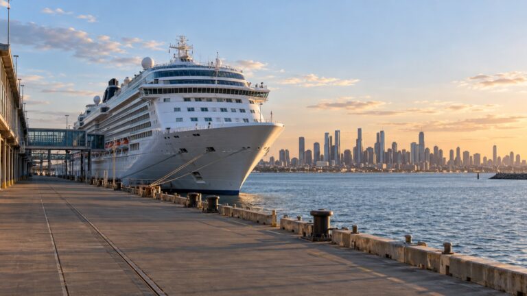
- Broome: the Kimberley Ports Authority takes vessels to about 985 feet in length overall, on a jetty out in Roebuck Bay rather than in the town.
- Darwin: cruise ships use Fort Hill Wharf, which Darwin Port calls a natural deep water berth minutes from the city center, with about 985 feet of quay and a roughly 1,150-foot limit.
- The tides: the Kimberley Ports handbook gives Broome a mean spring range of roughly 25 feet and a maximum range of about 34 feet. That is the number that runs your entire itinerary.
- Currency and language: Australian dollars and English.
- Permits: most coastal landings sit on Aboriginal country and need a pass. Your operator arranges it, but you are the one who has to behave accordingly once ashore.
- How often a landing is missed: no reliable coastwide percentage is published. Sites can be swapped or canceled for tide, wind, swell, permits, or operational safety.
Broome, Darwin and Wyndham: the practical gateways
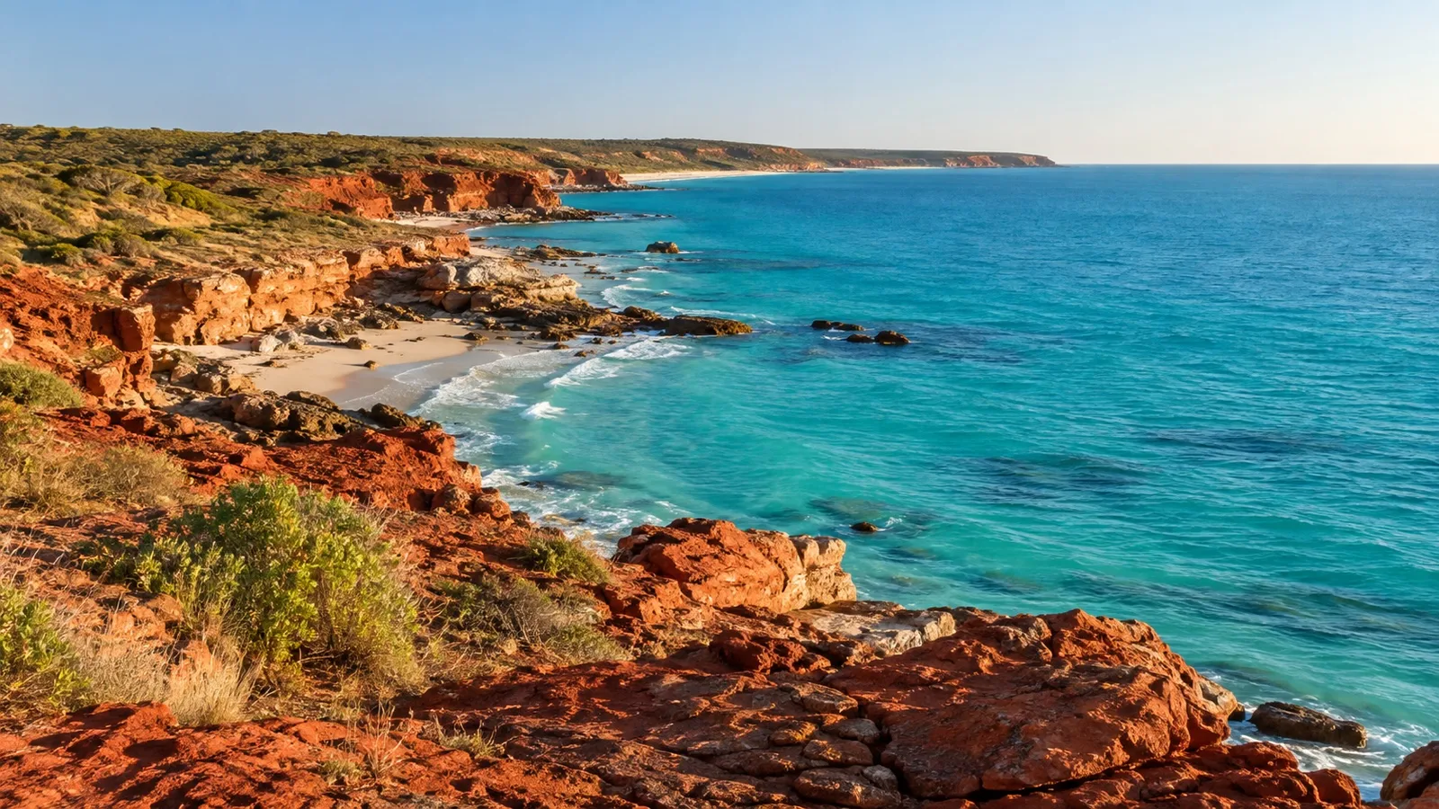
Broome is the more atmospheric end and the more awkward one logistically. The commercial wharf sits on Port Drive well outside the town, so you will be on a motorcoach or a shuttle whichever way you are traveling.
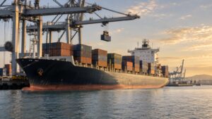
The Port of Broome is a working port first and a cruise port a distant second. It handles cattle, fuel and offshore supply vessels, and your ship is slotted in around them.
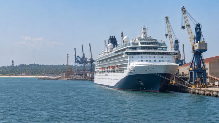
Darwin is the simplest eastern gateway. Fort Hill Wharf has a passenger terminal, the city center is walkable for many travelers, and the airport is a short drive away.
Wyndham is different and appears on many Broome itineraries. Cruise packages commonly connect it with Kununurra by road, so check whether that transfer and any pre-cruise hotel are included before booking your flight.
If you have any flexibility, give yourself at least one night before embarkation. Flights to the region are limited, and missing a ship with infrequent departures is an expensive lesson.
An extra night in Broome also provides time for Cable Beach, Gantheaume Point, and Chinatown’s pearling history. The Broome cruise port guide covers arrival logistics.
Darwin rewards a night too, mostly for the Museum and Art Gallery of the Northern Territory and the Cyclone Tracy exhibit. The Darwin port guide has walking details from Fort Hill.
No ports, and everything tide-locked
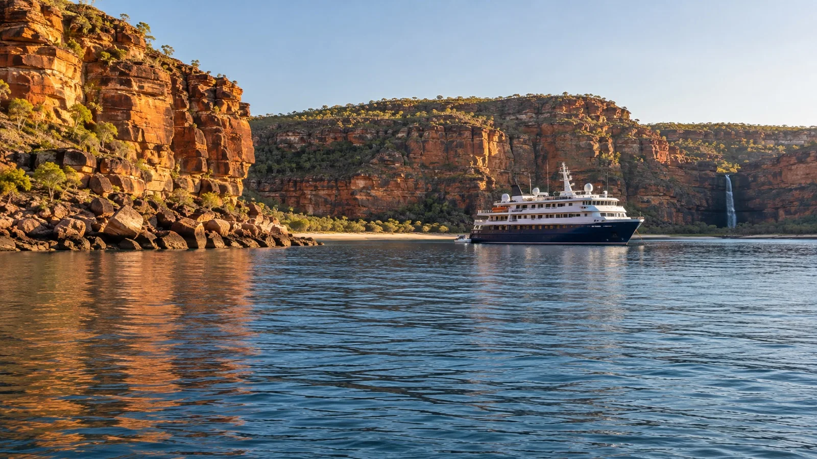
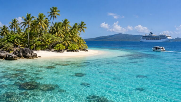
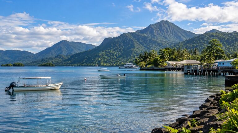
Between the gateway ports, the ship normally anchors and most excursions begin with a transfer into a small boat. That transfer is a core part of the itinerary.
That is not a hardship, it is the point of the trip. It does mean mobility, sea state and tide decide what you see, and paying more changes none of it.
The tide is the tyrant. With a spring range around 26 to 33 feet, a creek that floats a Zodiac at nine in the morning is a mudbank by half past eleven.
This is why your daily program arrives the night before and is still wrong by breakfast. Expedition teams work backwards from the tide tables and the swell forecast, then fit the humans around the result.
The order of sites is not fixed either. Two ships on the same itinerary in the same week can take the sites in a different sequence, or skip one.
If Zodiac work is new to you, see the explainer on how Zodiac landings work. The short version is that you sit on the tube, you swing your legs over, and you get wet feet sometimes.
The Horizontal Falls rule you need to know before you book
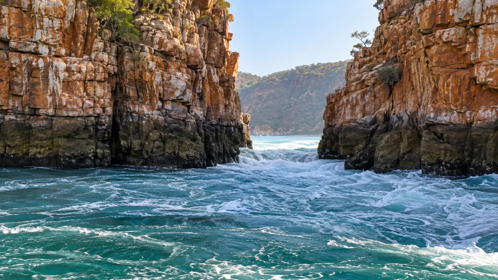
Talbot Bay, in the Buccaneer Archipelago, holds the feature sold as the Horizontal Falls. Two narrow gaps in the McLarty Range, the seaward one about 65 feet wide and the inner one about 40 feet.
Water piles up on one side and pours through, which looks like a waterfall lying on its side. Australia’s North West, the regional tourism body, puts the daily tidal flow through the gaps at more than 33 feet on each tide.
Access rules have changed more than once, so older summaries may be wrong. In April 2026, the Western Australian Government announced that licensed tour operators could continue traversing Garaan-ngaddim Horizontal Falls until 2028 while new Traditional Owner-led tourism experiences are developed.
The transition reflects Dambimangari cultural priorities and safety concerns following the 2022 accident. The surrounding Lalang-gaddam Marine Park, water-based viewing outside the gaps, and scenic flights remain available under the applicable permits.
Ask what the exact departure includes before paying for an add-on. Do not assume that older footage of a high-speed passage describes the activity your operator is licensed to run.
One more rule that catches people out.
Parks and Wildlife has a roughly 4.3-mile drone exclusion zone around the falls, so the drone stays in the cabin.
Stops worth planning for
Itineraries vary and sites get swapped, so treat this as a shortlist rather than a schedule. Confirm the priority sites and alternatives with the operator.
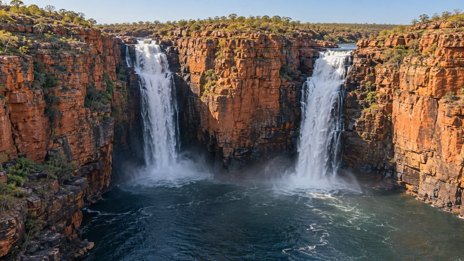
- King George Falls: twin falls at the head of a red sandstone gorge, described by Parks and Wildlife in the North Kimberley Marine Park as dropping over cliffs around 330 feet high. The tender run up the gorge to reach them is as good as the falls.
- Montgomery Reef: known as Yowjab, an enormous reef platform that appears to rise out of the sea as the tide drops off it. You watch it from a small boat while water sheets off the edges in every direction.
- Talbot Bay: the Horizontal Falls, seen from a boat at a distance and best understood from the air. Also a decent anchorage, which is why most itineraries overnight nearby.
- The Hunter River: mangrove creeks off Prince Frederick Harbour, and the reliable place to see estuarine crocodiles. Parks and Wildlife is blunt on this coast: crocs are common, crocs move around, and crocs are deadly.
- Mitchell Falls: Punamii-Uunpuu, a four tiered falls in Mitchell River National Park, reached by helicopter from the coast. It is commonly sold as a separate helicopter excursion, so check the current price, capacity, and cancellation terms.
- Raft Point: a walk up loose rock to Wandjina rock art shelters, with a view back over Doubtful Bay. The climb is short but genuinely awkward underfoot.
- Bigge Island: more rock art, including painted figures that record contact with outsiders arriving by sea. Usually a beach landing followed by a low scramble into the shelters.
Fun fact: the two marine parks that cover most of this coast are vast even by Australian standards, with the Parks and Wildlife Service putting North Kimberley Marine Park at roughly 4.56 million acres and calling it the largest marine park in Western Australia.
Lalang-gaddam next door adds roughly another 3.21 million acres.
How to plan the day
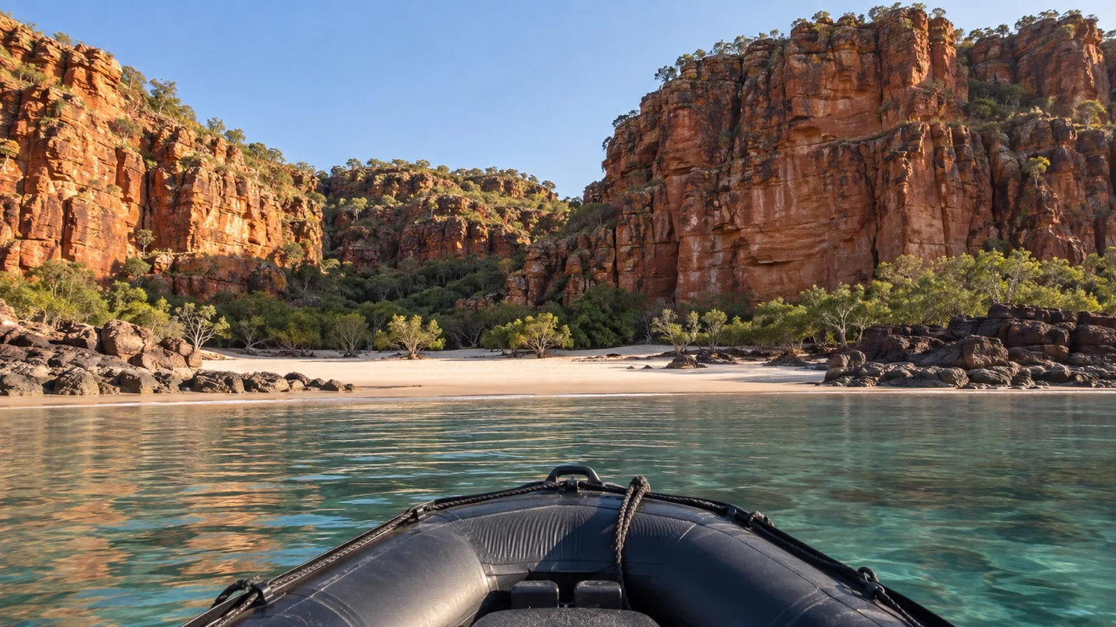
There is no independent version of a day here, and pretending otherwise wastes energy. You go when the Zodiacs go, and the only real choices are which activity and how hard you push.
An early boat can mean cooler temperatures and softer light, but departure groups are assigned by the expedition team. Follow the timing given onboard.
On days with a choice between a walk and a cruise-by, compare terrain, heat, cultural access, and time in the small boat. Midday Zodiac trips can be hot and exposed.
If a helicopter flight is a priority, book when the operator opens reservations. Read the cancellation terms before paying because capacity and refund rules vary.
Leave one day with nothing planned. Something will be canceled for weather, and deciding in advance how you feel about that makes it less annoying.
A realistic word on accessibility
A Kimberley expedition presents substantial barriers for travelers with limited mobility. The main challenges are transfers into small boats and landings on sand, mud, or rock.
Every landing involves stepping from a moving ship into a moving inflatable, then out of it onto sand, mud or rock. Crew are skilled and will help, but there is no ramp, no handrail and no alternative route ashore.
Some sites are genuinely manageable if you are steady on your feet but slow, such as beach landings and the flat walks. The rock art shelters at Raft Point and the gorge walks are not, and no amount of goodwill changes the terrain.
Ask the operator for the actual landing descriptions rather than a general accessibility statement. A ship with a larger tender loading from a platform suits you far better than one running open Zodiacs.
When to go, and the weather
The season sits between two wet seasons, running roughly April to September. Australia’s North West describes the Kimberley dry season as May to October, and the cruise season starts a little earlier to catch the waterfalls still running.
Early season is green, humid and wet underfoot, with the falls at their most impressive. The Bureau of Meteorology gives Broome a mean April maximum of about 94°F, with around 1 inch of rain still falling that month.
Mid season is the comfortable stretch. June and July averages at Broome sit in the mid 80s Fahrenheit, with almost no rain, and Darwin runs a degree or two warmer at around 88°F.
Late season is hotter and drier, and the waterfalls thin out or stop. September builds back toward about 90°F, so pick early season for water and late season for weather, because you cannot have both.
Quick answers
Are there any actual ports on a Kimberley cruise?
Broome and Darwin are major gateways, and Wyndham is also used on many eastern-end itineraries.
Remote coastal sites between them are reached by Zodiac or landing craft rather than a cruise terminal.
Can you still ride a boat through the Horizontal Falls?
Licensed traversals are currently allowed through the 2028 tourism season under the Western Australian Government’s April 2026 announcement.
Exact activities remain operator-specific, and water-based viewing outside the gaps plus scenic flights can continue under applicable permits.
Should I start in Broome or Darwin?
It makes very little difference to what you see.
Choose on flights and on which town you would rather spend a spare night in, and Darwin is the easier one for connections.
Do I need a permit to go ashore?
Yes, for most coastal sites, and your operator arranges it.
The Wunambal Gaambera Uunguu Visitor Pass is required for each visitor by road, air and coast across more than fifty authorized locations.
Can I swim on a Kimberley cruise?
Not in the sea, not in the estuaries and not in tidal pools.
Saltwater crocodiles are present throughout, and the only safe swimming is where your expedition team explicitly says so.
The last word
The Kimberley lives up to its photographs, largely because there is no infrastructure to spoil it. That absence is also the price of admission.
Expect a coast that runs on tide tables and cultural protocol rather than your preferences, and you will have a very good two weeks. Expect a cruise with ports, and you will spend it mildly confused.
If you are stitching this onto a longer trip, the Australian cruise ports overview is the place to start on the rest of the coastline. Almost none of it works like this one.
Book the helicopter, pack shoes you do not mind ruining, and accept that the program is a suggestion. The moon is in charge here, and it does not take requests.
How this guide was researched: No firsthand Kimberley sailing, Zodiac landing, helicopter flight, or site visit is claimed. Gateway details were checked against Kimberley Ports Authority and Darwin Port; Horizontal Falls access against the Western Australian Government’s April 2026 announcement; marine park rules against Parks and Wildlife Service; permits against Wunambal Gaambera Aboriginal Corporation; and climate against the Bureau of Meteorology.
Logistics and time-sensitive details were reviewed September 12, 2026. Confirm the dated itinerary, licensed activities, landing plan, accessibility, and cancellation terms before travel. See our Editorial Policy.