Costa Maya Cruise Port: Docking, Ruins & Best Things to Do
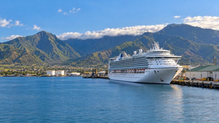
Costa Maya is one of my favorite low-key Caribbean days: your ship ties up at a long pier near the fishing town of Mahahual, in Quintana Roo, Mexico. Here is how I would plan a relaxed, well-timed day ashore.
Last Visited: December 2022 aboard Norwegian Bliss. This stop was part of my seven-night Western Caribbean sailing from Miami.
My quick take
Costa Maya rewards a simple plan: the port pool, a taxi to Mahahual’s beach, or a Maya-ruins run to Chacchoben. If you want a busier island day instead, compare it with nearby Cozumel.
It is also one of the easier Western Caribbean calls to enjoy without an excursion. For more context on the region, see my Caribbean cruise ports guide.
The quick facts
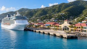
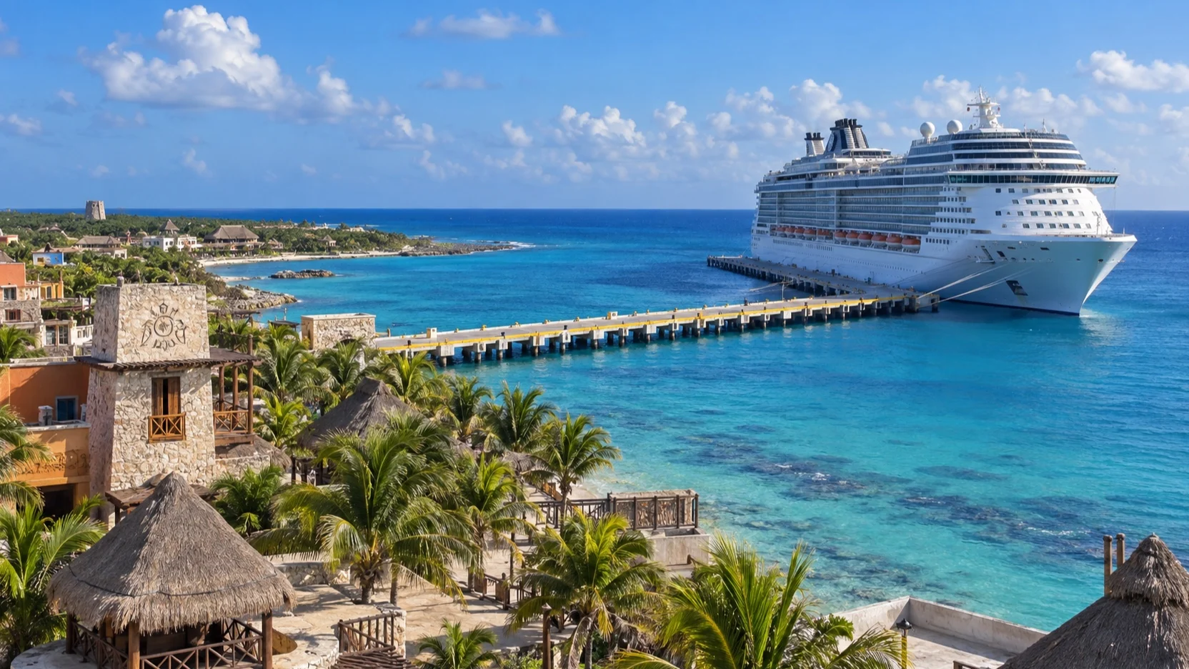
- Where you land: Costa Maya Terminal, a purpose-built cruise pier with berths for several ships and a walkable port village of shops, bars, and a pool area at the base of the pier.
- Dock or tender: Ships tie up alongside the pier and you walk off.
- Into town: The port village is reached on foot along a long pier, and the walk varies with the ship’s berth.
- Currency and language: The Mexican peso (MXN) and Spanish; US dollars are widely accepted at the port and in Mahahual, though the rate is better in pesos.
- Time zone: Eastern Standard Time (UTC−5) all year.
- How often the call is missed: Medium (roughly 3 to 7%): tropical storms can make the approach unsafe.
Getting around
Everything inside the port village is walkable from the ship. For anything beyond, taxis and organized tours wait near the pier exit.
Mahahual town and its Malecon are a quick taxi hop south. The Maya ruins and Bacalar are longer drives, so those are best done as a guided tour or a pre-arranged taxi with a set return time.
Agree the fare or tour return before you set off, and always build in a generous buffer to be back aboard.
Know what is actually at the pier
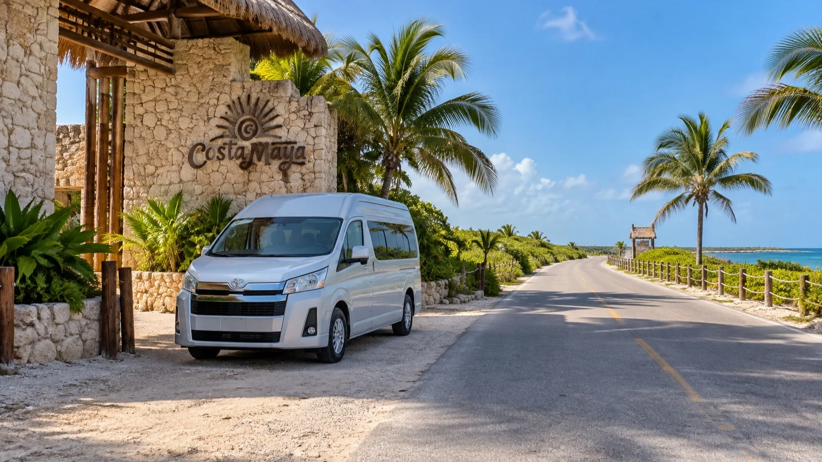
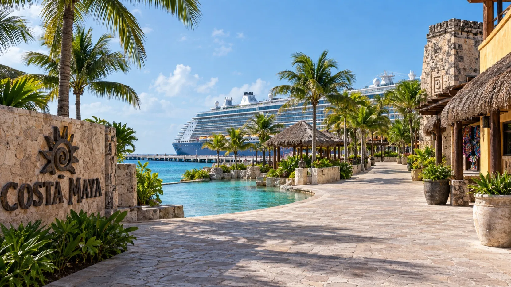
Costa Maya’s long pier leads to a cruise complex with shops, restaurants, and a large pool, but it is not a true ocean-beach stop. For sand and swimming, continue by taxi to Mahahual and confirm whether any pier tram is operating before relying on it, especially if walking distance is a concern.
Royal Caribbean’s Perfect Day Mexico project is changing the area ahead of its planned 2027 opening, while other cruise lines continue using Costa Maya. Recheck the terminal map, meeting point, and available facilities close to sailing because construction can reroute familiar paths.
Chacchoben is generally about 55 to 75 minutes by road, while Bacalar and Kohunlich require substantially more driving. Use a cruise-aligned tour for those longer outings, ask how much time is at the site versus on the road, and keep Mahahual as the flexible choice when the call is short.
Heads up: some links below are affiliate links. If you book through one, I may earn a commission at no extra cost to you. It never changes which hotels or tours I recommend. Full disclosure.
The stops I’d actually spend time on
These are the named, worth-your-limited-time places I would build a Costa Maya day around.
The Costa Maya port village: The pier’s base has a pool, swim-up bar, shops, and restaurants, but it does not provide a true ocean beach.
This is my pick if you want zero logistics and a short walk back to the ship.
Mahahual beach and the Malecon: The official Mexican Caribbean board describes Mahahual as a tranquil fishing village whose boardwalk lines up restaurants, beach clubs, and small shops along calm, clear water.
It is the most authentic-feeling stroll near the port, and an easy taxi ride from the pier.
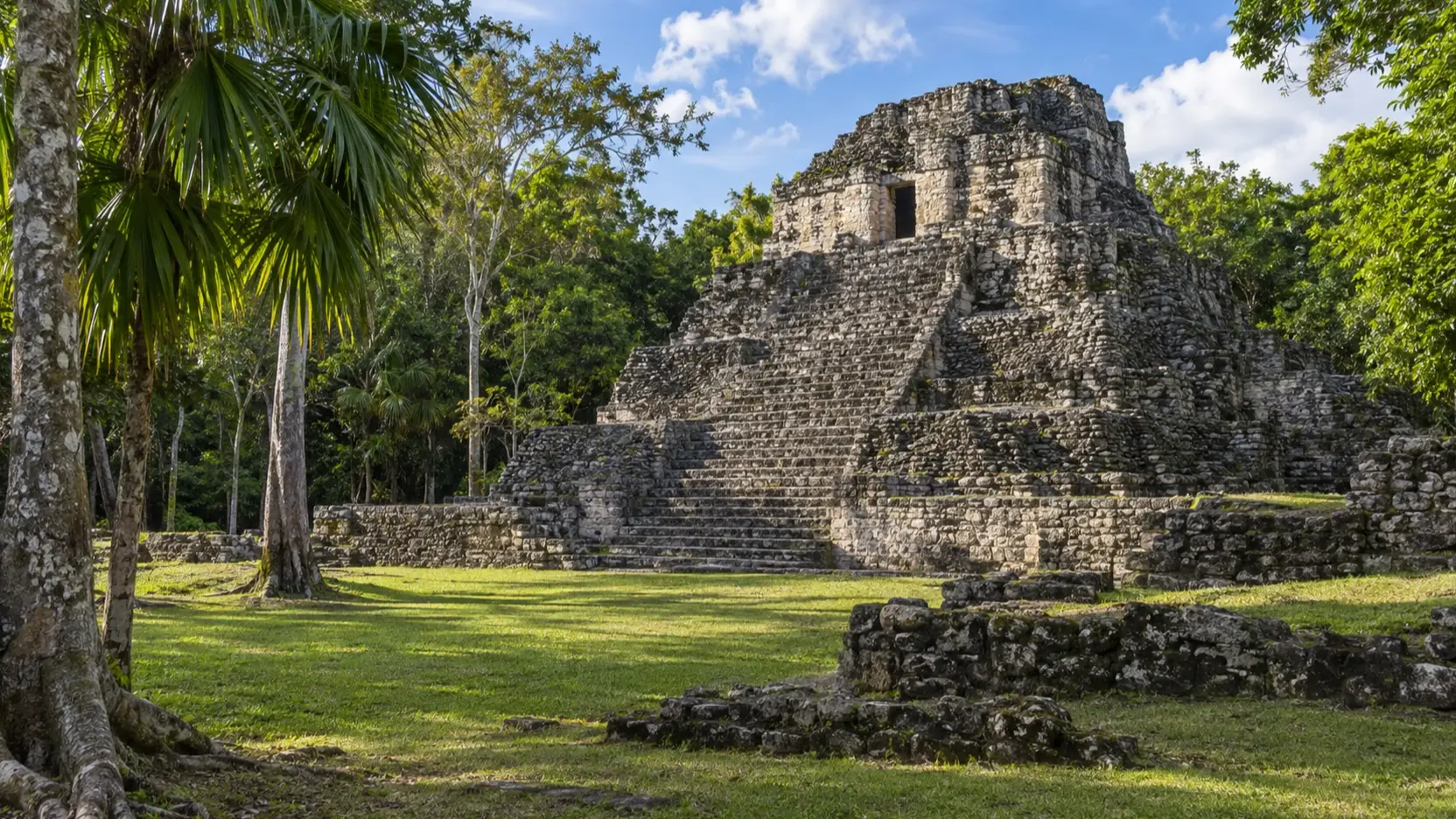
Chacchoben archaeological zone: INAH, Mexico’s national heritage institute, runs this site off Federal Highway 293 in the south of Quintana Roo, roughly an hour’s drive from the port.
It is the closest major Maya site to Costa Maya, and per INAH the zone opens daily 09:00 to 15:00, so an early start matters.
Kohunlich archaeological zone: Further inland toward Chetumal, Kohunlich is famous for its Early Classic Temple of the Masks.
Fun fact: INAH notes the temple’s stucco masks were modeled with red and black polychrome to portray rulers with solar attributes. It is a longer drive, so treat it as a full-day commitment.
Snorkeling and diving the reef: Costa Maya sits on the Mesoamerican Reef system, with coral habitat off Mahahual that supports guided snorkeling when conditions allow.
Banco Chinchorro is a remote biosphere reserve rather than a casual add-on, so attempt it only through an authorized operator with a cruise-compatible schedule and required permits.
Bacalar and the Lagoon of Seven Colors: This Pueblo Magico town sits on a freshwater lagoon that shifts from deep sapphire to bright turquoise over its white limestone bed.
The official board highlights swimming, kayaking, and cenotes like Cenote Esmeralda and the Pirates’ Channel. It is the longest drive on this list, so only attempt it on a well-organized tour with a firm return time.
Choose for conditions and mobility
Mahahual beach conditions can change quickly during sargassum season, and a regional forecast cannot promise one club’s shoreline. Ask the exact venue for a recent photo, cleanup plan, pool access, cancellation terms, shade, and return transportation, then keep an inland or ship-day backup.
Chacchoben has outdoor heat, uneven ground, and optional stair climbing, so it suits history-focused travelers who can manage the walk. Bacalar suits people who prefer freshwater scenery and accept a longer drive, while Kohunlich is for a very long call because road time dominates.
The paved port complex is the easiest choice for limited mobility, but the pier itself can be long and pool entry may still use steps. Ask about pier assistance, accessible vehicles, restrooms, and the complete route rather than relying on a generic easy-activity label.
How I would plan the day
- Three useful hours: Use the port pool and shops, or take a taxi to Mahahual with a prearranged return. Mahahual gives you a real beach, while the port complex wins on zero transportation risk.
- Five to six hours: Choose Chacchoben or a Mahahual reef and beach day. Ruins suit history lovers who handle heat and uneven ground, while the coast suits swimmers only after checking current sargassum conditions.
- Eight or more hours: Consider Bacalar or Kohunlich through a cruise-aligned operator, but make it the only major outing. Target the port 75 to 90 minutes before all aboard after local travel, and more after a long inland route.
A realistic word on accessibility
The pier and port village are flat, paved, and step-free, which makes the on-site pool, shops, and restaurants the easiest option for limited mobility.
Beaches mean soft sand, boats involve steps and movement, and the Maya ruins have uneven stone paths and stairs. If access is a concern, confirm details with your cruise line’s shore-excursion desk before booking.
When to go, and the weather
Costa Maya is warm and humid year-round. The drier, most comfortable stretch runs roughly from December through April.
Summer and early autumn are hotter and fall within the Atlantic hurricane season, when itineraries can shift. The Caribbean sun is strong, so bring water, sun protection, and reef-safe sunscreen.
Quick answers
Do ships dock or tender at Costa Maya?
Ships dock alongside the long cruise pier and you walk off directly into the port village, so there is no tender.
How far are the Maya ruins?
Chacchoben is the closest major site, about an hour by road; INAH lists its hours as 09:00 to 15:00 daily, so an early tour is smart.
Can I have a good day without an excursion?
Yes, the port village has a pool, restaurants, and shops, while Mahahual’s Malecon and ocean beach are a short taxi ride away; first-time cruisers can see my first-timer port guide, and Belize fans can compare my Belize cruise ports guide.


How this guide was researched: Unless a first-hand visit is explicitly identified above, this guide is based on independent research using official port, tourism, transit, government, and attraction sources where available. Logistics and time-sensitive details were reviewed in September 2026; see our Editorial Policy.