Christmas Winds and Caribbean Tender Days: What to Know
“Christmas winds” is a regional name for stronger trade-wind spells around the Caribbean winter season. Those spells can build wind waves, while distant North Atlantic weather can send swell toward exposed islands at the same time.
That combination can disrupt tender transfers even when the sky is blue and the ship feels comfortable offshore. It does not mean every winter cruise will be rough or that every tender port will close.
My quick take
Treat Christmas winds as a planning pattern, not a forecast or a formal warning. Check the actual marine forecast for your route and the hours of your tender call.
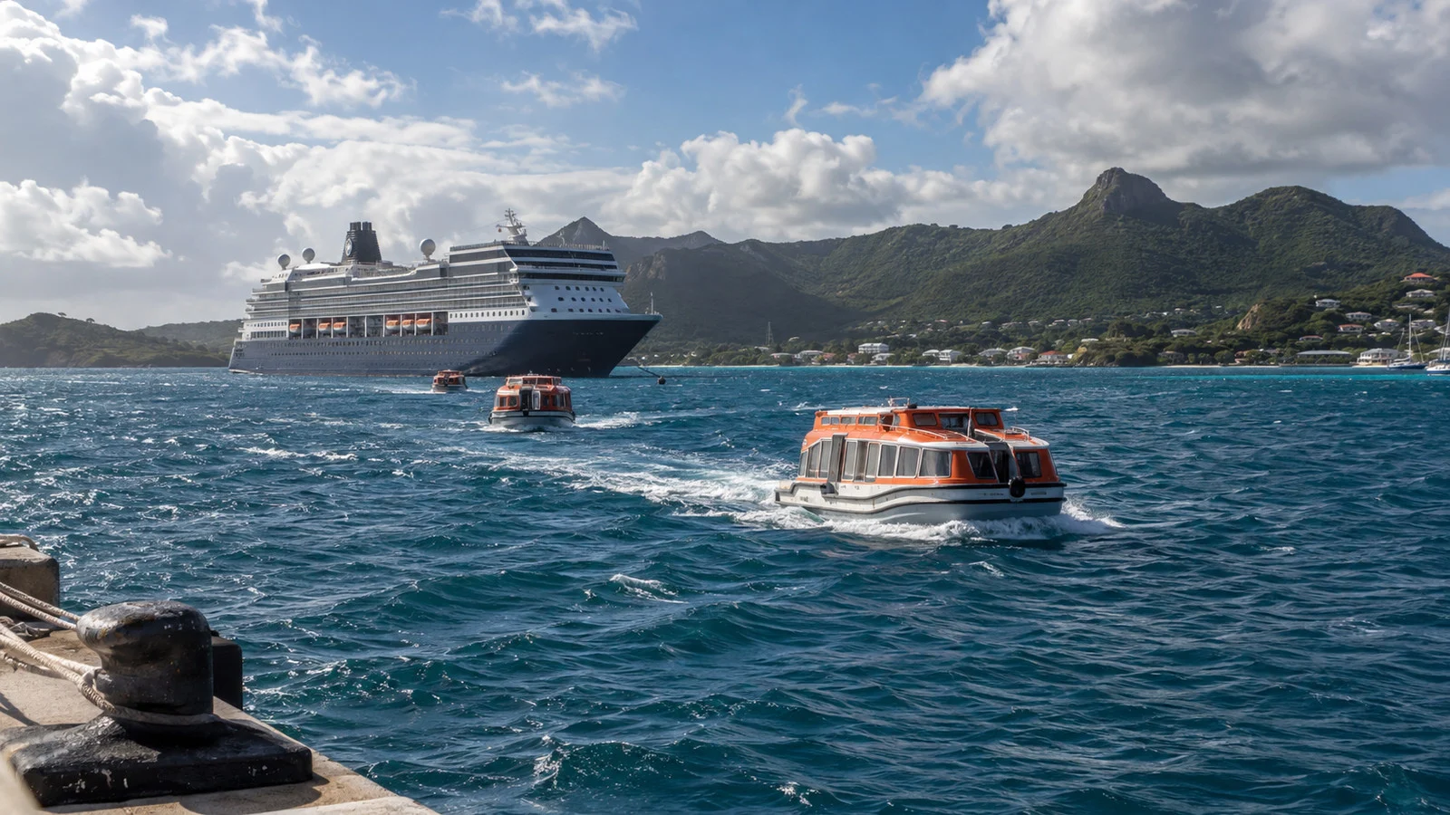
Tender operations are sensitive to movement where the small boat meets the ship and where passengers step ashore. A modest-looking swell can matter at those transfer points without creating dramatic conditions on a large ship.
When a specific tender port is the main reason for your trip, choose flexible tour terms and have a backup day in mind. Do not assume that winter weather automatically triggers a refund beyond whatever your cruise line, excursion seller, or insurance policy promises.
The quick facts
- Christmas winds are not a formal alert: the name is commonly used for stronger trade-wind spells around the winter holidays and early year. Official forecasts will describe the actual wind, seas, swell, and hazards.
- The Caribbean has a winter wind maximum: a peer-reviewed Caribbean low-level jet study found climatological peaks in February and July. That describes a long-term atmospheric pattern, not the conditions on every cruise.
- Wind and swell are different: local trade winds can create short wind waves, while swell can arrive from weather far beyond the horizon.
- Direction and exposure matter: the same sea state can affect two anchorages differently when one is sheltered by land and the other faces the incoming waves.
- Small Craft Advisory criteria are local: the NWS Key West office uses its own published wind and sea criteria. An advisory is useful context, not a universal cruise-tender cutoff.
- A missed tender call is an operational decision: the captain, port authority, pilots, and tender crews use local and ship-specific information that passengers cannot see in a public forecast.
- Refund rules vary: cruise contracts, shore-excursion terms, and independent operators do not all promise the same remedy. Read the terms for the exact booking before paying.
What the Christmas winds actually are
The Caribbean trade winds are part of the region’s normal circulation. “Christmas winds” is an informal seasonal label used for spells when those easterly or northeasterly trades become more noticeable around late year and early year.
The term does not define a fixed start date, end date, or wind speed. You will not see a National Hurricane Center product titled “Christmas Winds Warning.”
Research on the Caribbean low-level jet helps explain the seasonal background. The study linked above found climatological wind maxima in February and July at about 925 hPa over part of the central Caribbean, with year-to-year variability around that average.
That upper-air climatology should not be converted directly into a surface forecast for Grand Cayman, Belize, or a private island. For a sailing decision, use the current official marine forecast for the correct zone.
A stronger pressure gradient can produce days of persistent trade winds over a long stretch of water. The longer and farther the wind blows across open water, the more opportunity wind waves have to build.
Why winter can bring swell from far away
The second part of the winter picture can originate outside the Caribbean. Weather systems over the North Atlantic can generate swell that travels away from the winds that made it.
The NWS defines swell as wind-generated waves that have left their generating area, usually with smoother and more regular crests than local wind waves. That is why an island can have limited local wind while an exposed shoreline or anchorage still moves.
Forecasts may list local wind waves and swell separately, including the swell’s direction and period. Read those components together because combined or crossed seas can be more complicated than one headline height.
Significant wave height is also an average, not a maximum. The guide to reading a marine forecast before a cruise explains how to use height, period, direction, and trend without inventing a comfort formula.
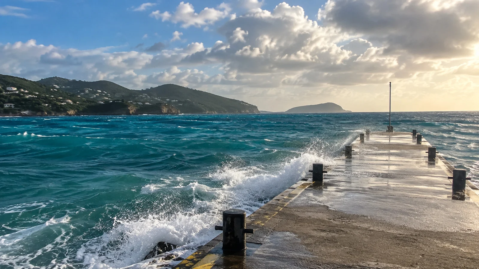
Why calm-looking water can stop a tender
Passengers usually judge the sea from high above it. Tender crews judge the relative movement between a small boat, a platform or shell door, and the landing ashore.
A long swell can raise and lower the tender even when the water surface does not look white or chaotic. The transfer may be unacceptable for the whole operation or for an individual passenger’s mobility needs.
Wind creates another problem by pushing the tender and throwing spray across the route. At some ports, wind and waves also affect the landing channel or the tender’s ability to remain safely alongside.
There is no public Caribbean-wide number that cancels every tender. Ship design, tender type, landing geometry, local shelter, currents, pilotage, and the condition of the passenger transfer all matter.
Start with the port’s exposure, not a cancellation ranking
It is tempting to rank ports by which one “cancels most,” but comparable public cancellation data are rarely available. A more honest planning question is whether the call uses tenders and which directions leave its anchorage or landing exposed.
Grand Cayman is a useful example because cruise passengers normally transfer by tender rather than walking from a cruise pier. The Port Authority of the Cayman Islands also identifies Spotts Bay on the south coast as an alternate cruise facility, but its use on any day is an operational decision.
Belize City also involves a tender transfer, so wind and sea conditions affect a smaller-boat journey as well as the ship’s position. Do not rely on a fixed ride-time claim because the anchorage, tender, traffic, and conditions can change.
Some Bahamian destinations use tenders, while others have a pier. Half Moon Cay and Princess Cays should not be used as shorthand for every private-island call, so verify the arrangements for the exact destination and sailing.
A docked call avoids the ship-to-tender transfer but is not weatherproof. Strong wind can still affect berthing, lines, gangways, pilots, local boats, and shore excursions.
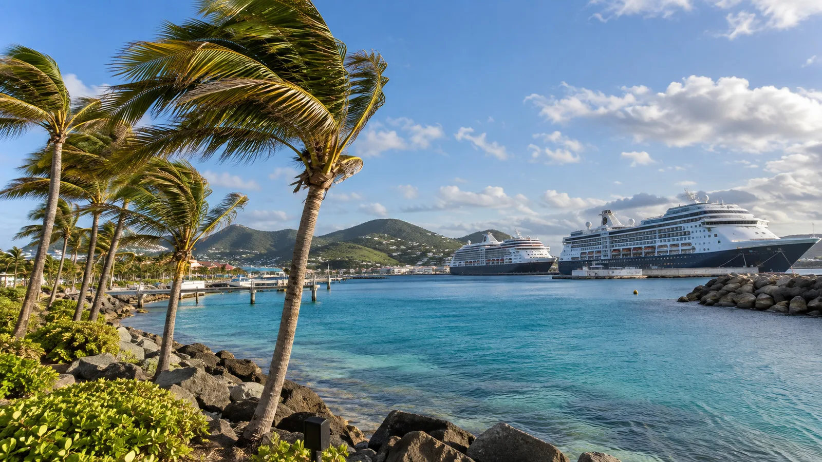
The same lesson applies outside the Caribbean
The Cabo San Lucas image here is a useful reminder that tender exposure is not a Caribbean-only issue. Pacific swell, local wind, and the bay’s conditions can affect a Cabo tender day even though Christmas winds are not the cause.
Likewise, a Mediterranean, Alaska, or South Pacific tender call has its own seasonal patterns and local exposure. The transferable rule is to identify the tender and landing, then check the current forecast for that water.
Do not assume a sheltered-looking bay is always protected. The direction of the incoming swell and the geometry of the landing can matter more than the region printed on the itinerary.
How to check the risk before sailing
- At booking: count which calls are tendered and identify any port that is essential to you. A route with several tender calls gives weather more chances to change the advertised plan.
- Before final payment: reread the cruise contract, the line’s shore-excursion cancellation terms, and each independent operator’s missed-ship policy. Save the terms that apply to your purchase.
- About 48 hours before a call: open the official marine forecast for the waters around the port, not only the city forecast. Note wind direction and trend, combined seas, swell direction and period, and any valid advisories.
- The evening before: check the updated forecast and ship messages. The National Hurricane Center marine page links offshore products for the Caribbean and tropical Atlantic.
- On the morning: wait for the ship’s operational announcement. A forecast cannot tell you whether the landing inspection, local authority, or ship-specific limits are acceptable.
- For tours: favor flexible or refundable terms when the port is the main attraction. A ship-sold tour often has different protections from an independent booking, but never assume the exact refund rule without reading it.
Fun fact: the Caribbean wind cycle described in the low-level jet research has two climatological peaks, not one. February is the winter maximum, while July is the larger warm-season maximum in the study’s reanalysis data.
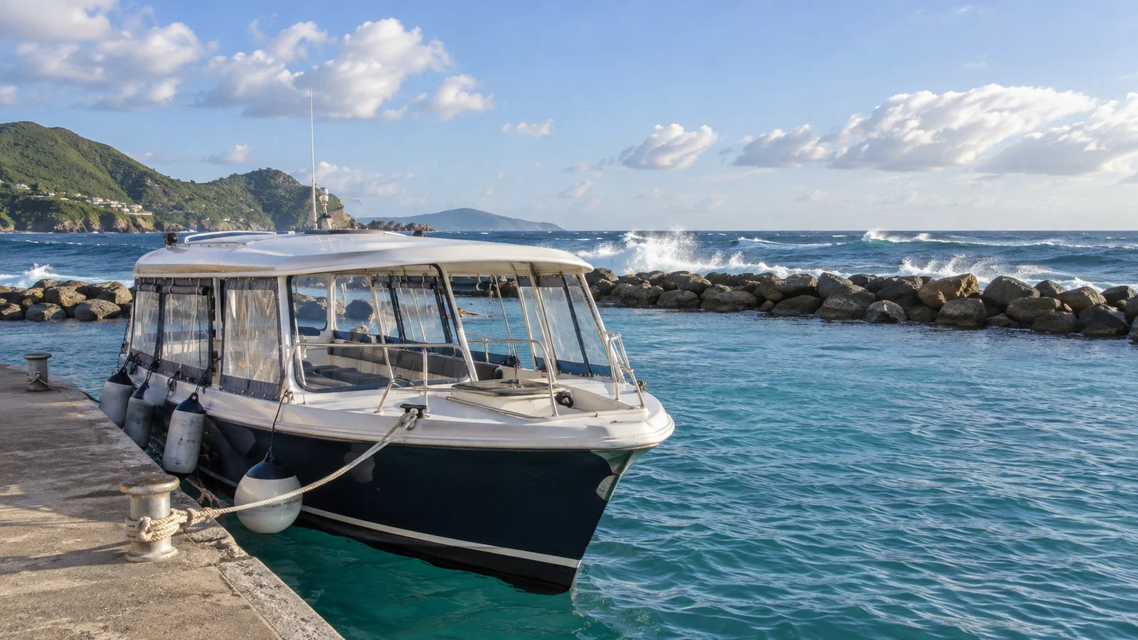
What the ship may do instead
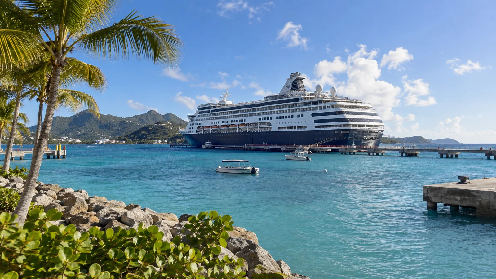
A canceled call may become a sea day, a delayed arrival, a shortened visit, or a substitute port. The available choice depends on distance, weather, berth availability, immigration and port clearance, fuel, and the rest of the itinerary.
An alternate landing on the same island is possible only where local infrastructure and conditions support it. Spotts Bay gives Grand Cayman an alternate facility, but its existence does not guarantee that passengers will go ashore.
A replacement port is not always available during the busy Caribbean winter season. Even when another port has space, reaching it may conflict with the next scheduled call or the ship’s fixed turnaround time.
The guide to what cancels a cruise port call covers the wider decision, while the rough-seas tender guide follows the passenger sequence after a delay or cancellation.
Refunds, excursions, and travel insurance
A cruise line generally reserves broad authority to change an itinerary for safety or operational reasons, but the exact contract controls. Do not promise yourself a cash refund, substitute port, or fixed amount of onboard credit unless the applicable terms say so.
Ship-sold excursions are commonly handled differently from independent tours when the ship misses a port. Check the cruise line’s current shore-excursion terms because procedures and refund methods can vary.
Independent operators set their own missed-port and weather policies. Get the answer in writing, including whether a refund requires the ship to cancel the call or also applies when you personally cannot transfer.
Travel insurance may cover some prepaid, nonrefundable losses only when the policy language includes the specific event. Read exclusions, documentation requirements, and benefit limits before treating insurance as the fallback.
Accessibility changes the planning test
A tender call that operates for many passengers may still be unsuitable for someone who cannot manage steps, gaps, weight-bearing transfers, or a moving platform. Accessibility depends on the ship, tender, landing, sea state, and available assistance.
Ask the cruise line about the exact port and ship before booking, then expect the final decision to be made onboard. A tender labeled accessible under ideal conditions may not remain accessible when movement increases.
If going ashore is essential, prioritize itineraries with a confirmed pier and a workable accessible route beyond the terminal. The guide to planning a port day for someone who cannot walk far adds transport and distance checks.
If a transfer is declined, do not attempt it without crew approval or rely on another passenger to lift equipment. Ask guest services about accessible onboard alternatives and any line-specific excursion handling.
When to go
Winter remains popular for Caribbean cruising because it can bring appealing conditions ashore and avoids the climatological peak of Atlantic hurricane activity. That benefit does not remove trade-wind spells, cold-front effects, or distant swell.
There is no reliable date when Christmas winds begin or end across every island. The climatological February wind maximum is useful background, but it cannot rank the cancellation odds for your exact week.
If tender reliability matters more than a particular month, compare itinerary design instead of trying to find a weather-proof week. Fewer tender ports and more sheltered or docked calls reduce one kind of exposure without eliminating disruption.
If a particular island matters more than the cruise itself, a land stay gives you more than one day for conditions to cooperate. A cruise offers variety, but every one-day port call is a single weather window.
Quick answers
What Christmas winds are:
They are an informal name for stronger seasonal trade-wind spells around the Caribbean winter period. They are not a formal warning with a fixed threshold.
Whether Caribbean cruises miss more tender ports in January:
Public, comparable port-by-port cancellation data are not available to support a universal ranking. January can bring wind and swell patterns that matter to exposed tenders, but each call depends on current conditions.
Which Caribbean ports are most vulnerable:
Look for tendered calls with exposed anchorages or landings rather than relying on a “most canceled” list. Grand Cayman and Belize City are useful tender examples, but conditions and operating arrangements vary.
Why a tender can stop when the sea looks calm:
The critical movement occurs where the small boat meets the ship and landing. Long swell can create an unsafe transfer without dramatic whitecaps.
Whether a missed winter port is refunded:
The answer depends on the cruise contract, excursion terms, independent operator, and insurance policy. Check the exact promises rather than assuming a standard remedy.
The last word
Christmas winds are real seasonal shorthand, but they are not a reason to expect a ruined Caribbean cruise. They are a reason to notice tender calls, exposure, forecast timing, and booking terms.
Choose an itinerary whose essential days are resilient, then let current forecasts and onboard professionals decide the rest. That approach respects the weather without pretending it can be reduced to one month or one wave-height cutoff.
For port-specific planning, review the guides to Grand Cayman, Cabo San Lucas, and Half Moon Cay. Recheck the current cruise-line and port information for your exact sailing.
How this guide was researched: This guide is based on independent research using official meteorological, port, and cruise sources. The seasonal wind pattern was checked against peer-reviewed Caribbean low-level jet research, marine definitions and forecasts against NOAA and the National Weather Service, and the alternate Grand Cayman facility against the Port Authority of the Cayman Islands; details were reviewed in September 2026 under our Editorial Policy.
More on this topic: browse every guide on weather, crowds and conditions.