Magdalena River Cruise Ports: Barranquilla, Mompox and the Newest River Cruise in the Americas
A Magdalena River cruise links Cartagena and Barranquilla through the culture, wetlands, and towns of Colombia’s lower river. The published route can change when water, weather, or local operating conditions require it, so use your final documents and the onboard daily program as the working itinerary.
That flexibility should not feel alarming if you expect it before booking. Mompox is a core highlight on current itineraries, but no individual stop should be treated as guaranteed.
My quick take
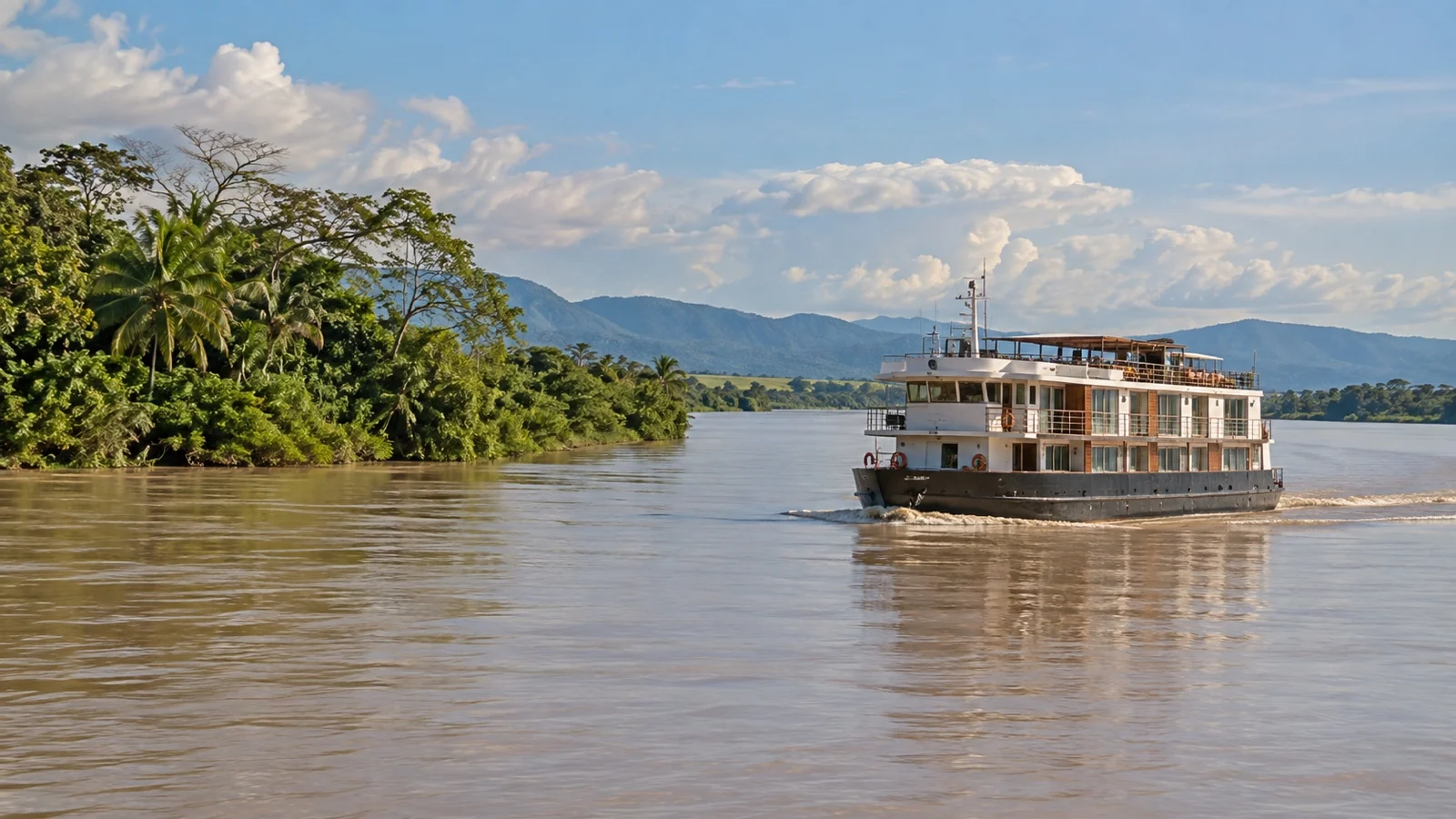
This is the least mature river cruise product in the world right now, and I mean that as description rather than insult. Colombia has spent decades making the Magdalena navigable again, and the passenger side of it is very new.
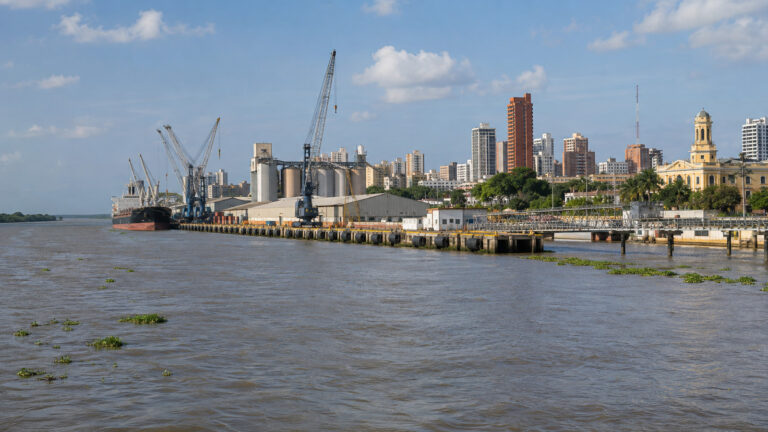
Go if you want river towns, cumbia, hot flat wetland light and a place where you will not line behind four other ships. Do not go expecting Danube infrastructure, because there are no purpose-built passenger quays waiting for you at most of these stops.
My default is to treat Cartagena as the real headline and the river as the reason to stay longer. I would give Cartagena two or three nights on the front of the trip rather than one, because it is a world-class city and it is where your flight lands anyway.
The quick facts
- Where you land: On current AmaWaterways itineraries, the cruise travels between Cartagena Turistica and Barranquilla in either direction. Calls can include Calamar, Magangue, Mompox, Santa Barbara de Pinto, Sabanagrande, and other communities named in your final itinerary.
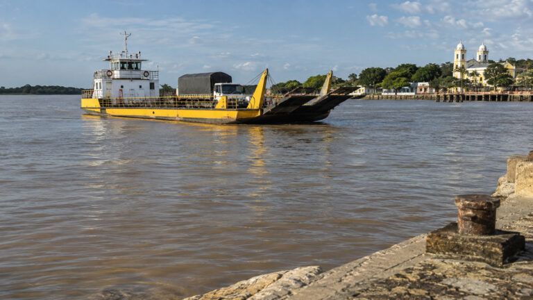
- How you get ashore: Access varies by stop and may involve a gangway, a simple local landing, or a small boat used for a nature excursion. Check the daily program and ask the cruise line about step-free access before booking if mobility is a concern.
- Into town: At the small stops you step off into the town, which is the whole appeal.
- Currency and language: The Colombian peso, and Spanish with very little English once you leave Cartagena.
- Getting around cost: ashore on the river almost everything is walking distance or an included excursion, so your spending is tips, crafts and drinks. In the cities use app-based or booked taxis rather than hailing, which is the explicit advice of the UK’s Foreign, Commonwealth and Development Office.
- Time zone: Colombia runs on UTC minus five all year and does not use daylight saving.
- How often the call is missed: No reliable public percentage is published. Itinerary changes are possible when river, weather, or local operating conditions affect a planned stop.
Cartagena, Barranquilla, and the direction of your cruise
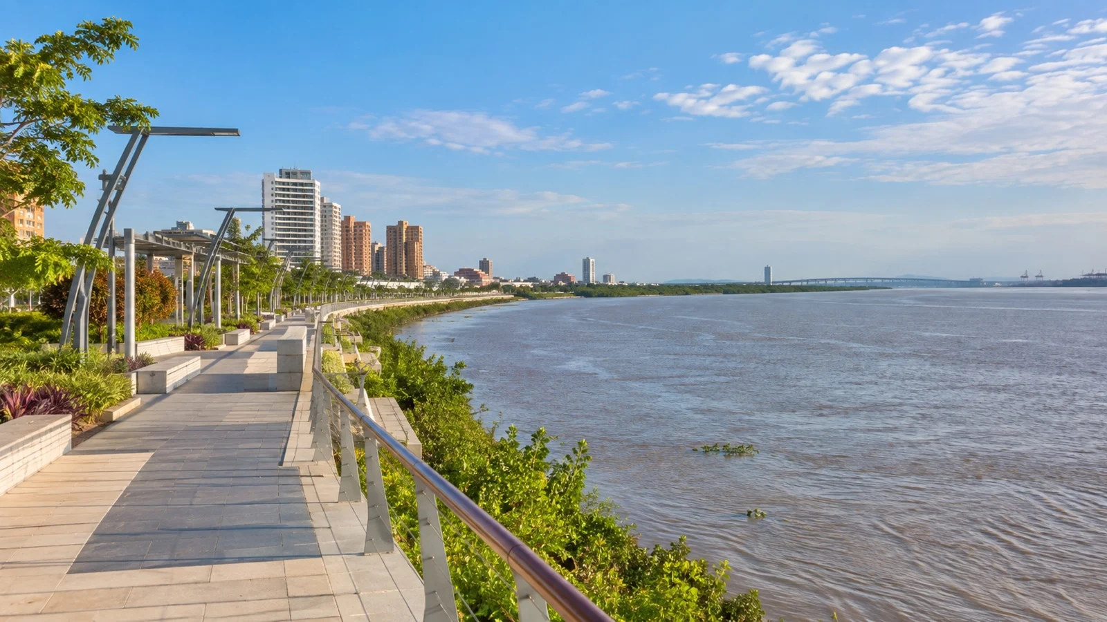
Current itineraries operate between Cartagena Turistica and Barranquilla, with sailings offered in both directions. Read the day-by-day itinerary and final documents closely because your arrival city, hotel package, embarkation point, and transfer arrangements depend on the direction you booked.
Cartagena has the broader international air network, while Barranquilla also has an airport and international service. Do not assume a road transfer is included, because the operator states that cruise-only fares exclude flights and transfers.
Extra nights in Cartagena make sense when they fit your cruise direction. The walled city and Getsemani deserve unhurried time, and my guide to the Cartagena cruise port covers the old city’s geography in more detail.
Barranquilla itself gets undersold. It is Colombia’s Caribbean port city and the home of a carnival that UNESCO lists as Intangible Cultural Heritage of Humanity, proclaimed in 2003 and inscribed in 2008, held over the four days before Lent.
A silty river with a channel that moves
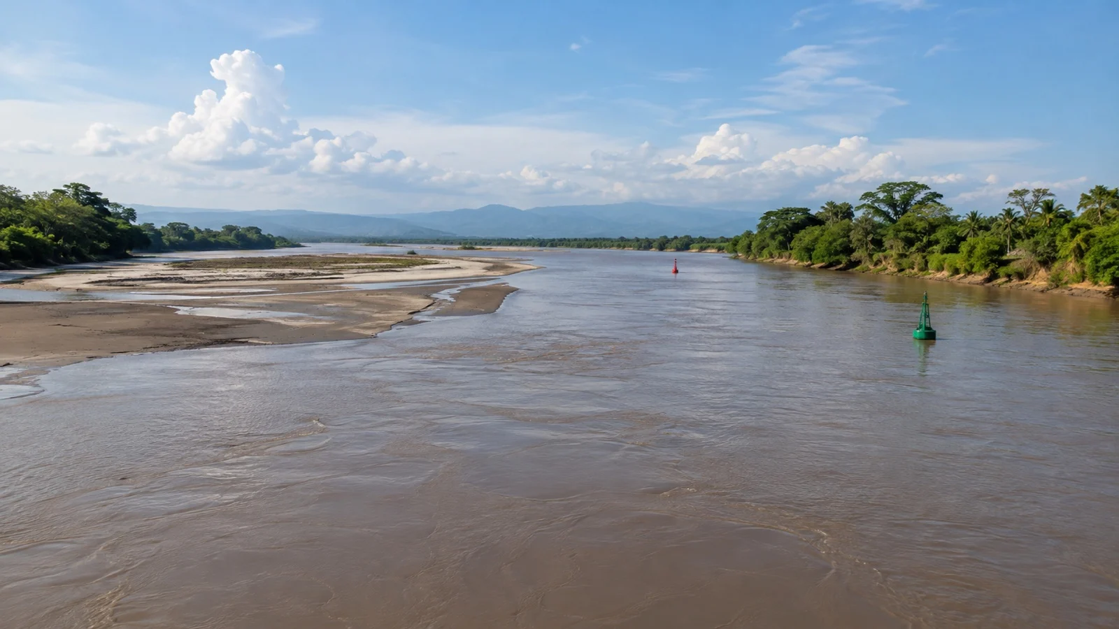
The Magdalena carries an enormous sediment load out of the Andes and deposits it wherever the current slows. The result is a braided, shifting channel with sandbars that appear and vanish between seasons.
Keeping it navigable is a permanent public works project. Cormagdalena, the state corporation responsible for the Rio Grande de la Magdalena, publishes dredging programs involving millions of cubic yards of material.
What that means on your vacation is simple. Ships built for this river are shallow-draft by necessity, and even so the pilot works to a channel that is marked and re-marked as conditions change.
If you have sailed Europe in a dry summer you already know the feeling, and the mechanics are similar even though the causes are not. My explainer on what low water actually does to a river cruise is the closest European analog.
The action to take is unglamorous and effective. Ask reception each evening for tomorrow’s confirmed stop, and do not book any independent arrangement ashore more than a day ahead.
The Gabriel Garcia Marquez thread, and why it holds
Every operator here leans on Gabriel Garcia Marquez, and for once the literary hook is not invented. He grew up in this landscape, traveled the Magdalena repeatedly as a young man, and set The General in His Labyrinth on a journey down it.
The Magdalena of the novels is a river of steamboats, heat and slow decline. Much of that world is gone, and what survives is the light, the wetlands and the towns that stopped growing a century ago.
Mompox is where the thread pulls tightest. It is a town that was rich, was bypassed by the river’s main channel, and then simply stopped, which is why it looks the way it does.
If you want the literature to land, read something before you sail rather than after. An hour with Love in the Time of Cholera does more for this itinerary than any onboard lecture.
The security question, answered plainly
People ask about safety before they ask about anything else, so here it is without hedging. Colombia is not a uniform place, and the parts this itinerary uses are not the parts that generate the warnings.
The US Department of State publishes a nationwide advisory plus higher-risk regional warnings for Colombia. Check the live advisory immediately before travel rather than relying on a fixed list copied into an article.
The FCDO also publishes location-specific warnings and practical guidance about crime and transportation. Its current safety advice recommends licensed telephone or internet-based taxi services instead of unlicensed taxis.
Read both advisories yourself rather than taking my summary as current, because these documents are revised regularly. That is true of any destination, and doubly so here.
The city days need normal urban sense. No jewelry, no phone out in a crowd, booked transport at night, and never accept food or drink from a stranger, which is a specific and repeated warning in the British advice.
The stops I would actually spend time on
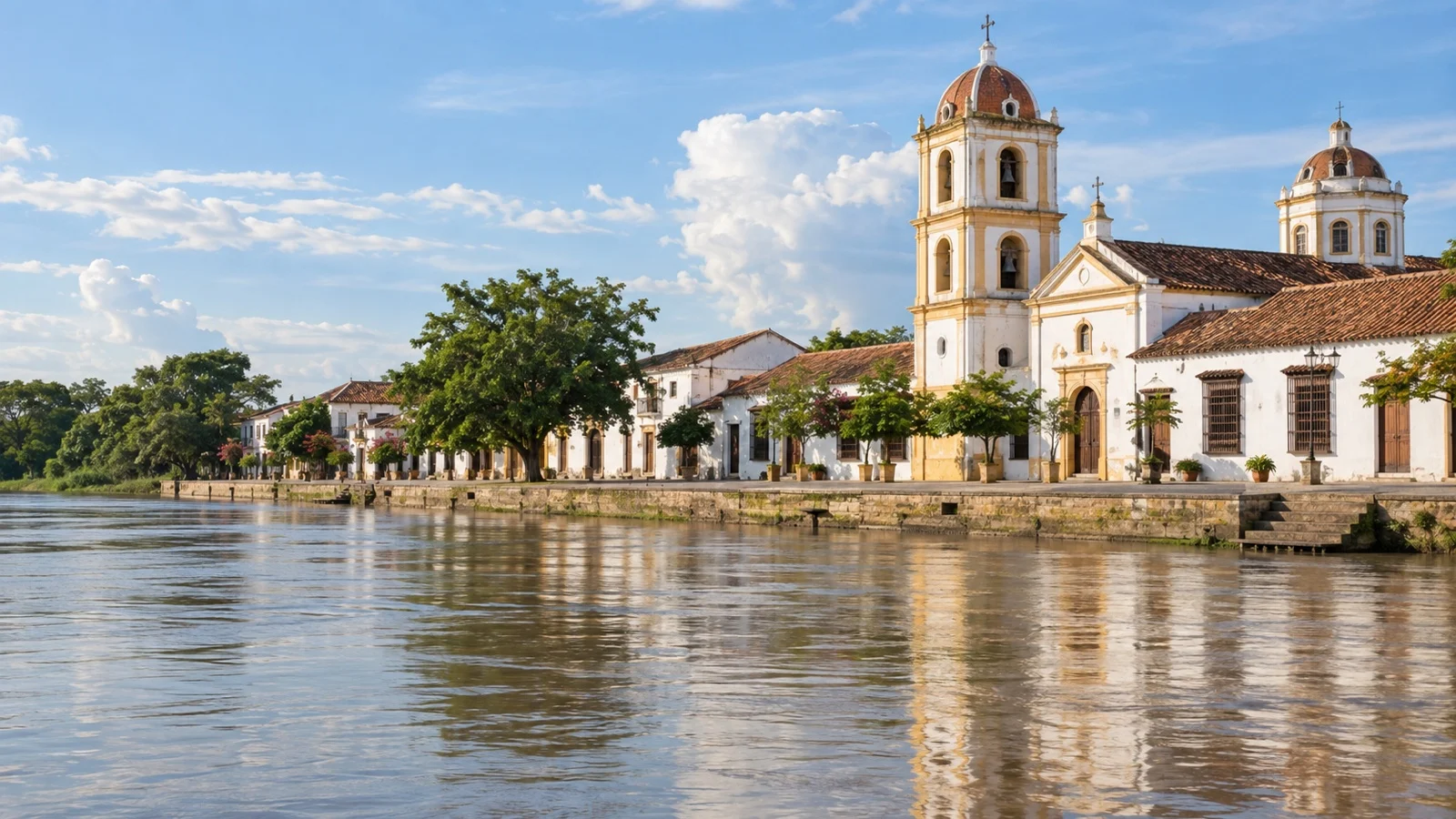
Which of these you get depends on the water and the week. Treat this as a menu rather than a schedule.
- Mompox: the reason the itinerary exists, inscribed by UNESCO in 1995 as the Historic Centre of Santa Cruz de Mompox. Founded around 1540, it developed parallel to the river with its main street acting as a dyke and three riverside plazas each anchored by a church.
- Santa Barbara church, Mompox: the one with the octagonal tower and the balcony running round it, and the most photographed building on the river. Fifteen minutes, but the sort you remember.
- Mompox filigree workshops: Colombia’s official tourism board describes Mompox goldsmiths as producing the finest gold and silver work in the region. Watching the wire being wound is more interesting than the shopping, and prices are fair rather than cheap.
- Magangue: a bigger, busier working river port and market town, and the usual road junction for reaching Mompox when the water will not allow a direct approach. It is not pretty and it is completely real.
- Calamar: a small town at the head of the old Canal del Dique, the colonial-era cut that linked the Magdalena to Cartagena’s bay. The canal is why Cartagena and the river have been connected for four centuries.
- The cienagas: the wetland lagoons off the main channel, usually visited by small boat, and the best wildlife you will see all week. Herons, kingfishers, iguanas and, if you are lucky and quiet, howler monkeys.
- Barranquilla: the carnival city at the mouth, best understood through its Carnival museum and its riverside promenade. Give it half a day if the itinerary allows.
Fun fact: Mompox’s preservation is a side effect of economic failure, because the 19th century decline that emptied the town also protected it from the redevelopment that reshaped comparable Colombian cities, a point UNESCO makes explicitly in its inscription. The same UNESCO documentation notes that the town’s protective barricade walls are leaking and deteriorating, so the flooding threat is live rather than historical.
How I would plan the day
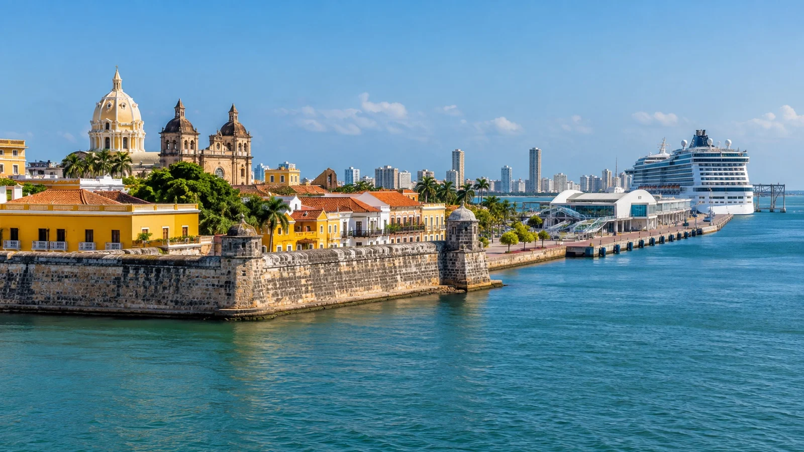
River days here start early because the heat is the enemy. Excursions ashore are typically first thing, and by early afternoon the sensible place to be is under cover with a fan and a cold drink.
I would do every morning ashore and skip roughly every second afternoon. This is not a route where you win by seeing more.
At Mompox, I would walk the three plazas along the riverfront in sequence rather than following the group, then double back to whichever one you liked. It is a small grid and getting lost is difficult.
Carry more water than you think, plus a hat, because shade in these towns is patchy. Mosquitoes are an evening problem rather than a midday one, but repellent lives in the day bag anyway.
A realistic word on accessibility
I will be blunt, because this is the honest weak point of the route. The Magdalena is the hardest mainstream river cruise I know of for anyone with limited mobility.
The ships themselves are small and modern, and onboard access is generally reasonable. The problem is the shoreside, where a purpose-built passenger quay is the exception and the gangway may run onto a ramp, a pontoon or a riverbank.
Ashore, the historic towns are cobbled, curbed and uneven, and Mompox in particular has surfaces that defeat wheels. The small boat excursions into the wetlands require stepping down into a launch that is moving.
If mobility is a real constraint, ask the line for a written description of shore access at each planned stop before you book, and expect some honest discouragement. For the broader picture of which ports do this well, my roundup of South American cruise ports is a gentler starting point.
When to go, and the weather
There is no cold season on the lower Magdalena, only wetter and drier. Daytime highs sit in the high 80s to low 90s Fahrenheit essentially every month of the year, and nights rarely drop below the high 70s Fahrenheit.
Humidity is the number that governs your day, and it is high all year. Plan on feeling hotter than the thermometer says.
Broadly, the drier stretch runs from around December into March and the wetter months fall in the second half of the year. Drier means lower water and more channel constraint; wetter means more water, more mud and more afternoon rain.
If the carnival is the draw, that is the four days before Lent in Barranquilla, which moves with Easter each year. Book that a long way out, because the city fills.
What I would confirm before paying
Cartagena has the broader international air network, but Barranquilla also has an airport and international service. Read the day-by-day itinerary closely because the arrival city, optional hotel package, transfer, and ship embarkation point are separate parts of the trip.
Book the operator’s transfer when it matches your flights and cruise direction, or arrange a reputable local driver with the correct meeting point. Channels and small-town stops can change with sediment, water, and weather, so an operational adjustment does not necessarily mean the cruise has failed.
The heat, humidity, insects, uneven banks, and portable gangways are the real physical constraints. Ask the line which landings have steps, whether an elevator reaches the exit deck, how mobility equipment is handled, and whether each small-boat wildlife outing can take you safely.
Colombian entry forms and visa rules depend on nationality and arrival method, and official advice can change by region. Use the free official government process, keep copies offline, follow the line’s security instructions at rural stops, and avoid creating an independent excursion with no reliable way back.
Quick answers
Where does a Magdalena river cruise actually start?
Current itineraries run between Cartagena Turistica and Barranquilla in both directions. Your confirmation and final documents identify the correct embarkation point for your sailing.
Is the Magdalena River safe for tourists?
Risk varies by region and can change. Read the current State Department and FCDO advisories before booking and again shortly before departure, then follow the operator’s local guidance.
Why do the ports keep changing?
River, weather, and local operating conditions can affect the plan. The operator states that itineraries are subject to change, so use the schedule in your final documents.
Is Mompox worth the effort?
Yes, and it is the single strongest reason to do this itinerary. A UNESCO-listed colonial town that stopped growing in the 19th century is not a thing you can see in many places.
Do I need Spanish?
Not on the ship or with guides, and very much yes if you wander alone in a river town. A translation app and a few polite phrases go a long way here.
The last word
This route asks more of you than a Rhine sailing and gives back something the Rhine cannot, which is a river that almost no cruise passenger has seen. That trade is either obviously worth it to you or obviously not.
If you are weighing this against a big ship calling at Cartagena for eight hours, read my overview of Colombia’s cruise ports first. And if you have never sailed a river before, the structural differences are worth understanding, which is what my piece on river cruising versus ocean cruising is for.
Book the extra Cartagena nights, pack the repellent, and stop looking at the printed port list. The river will tell you where you are going, usually at about nine the night before.
How this guide was researched: This guide was checked against current official operator, tourism, heritage, government travel, transit, and weather information. Operational and time-sensitive details were reviewed September 13, 2026; confirm the live embarkation point, daily program, entry rules, accessibility, and cancellation terms before travel, and note that no firsthand experience is claimed.
See our Editorial Policy.