Eastern, Western or Southern Caribbean: Which Itinerary Fits You
Three ships leave Miami on the same Saturday, one sold as Eastern Caribbean, one as Western, one as Southern, and two of them may well stop at the same island. The labels are marketing before they are geography, so here is what you are actually choosing between.
My quick take
If this is your first Caribbean cruise and you are sailing from Florida, take the Western. The ports sit closest to the homeports, the port days are the most interesting, and less of your week disappears into open water.
If you have already done a Caribbean week and want clearer water and smaller crowds, the Southern is worth the extra effort, and the effort is real. You either buy a longer cruise or you buy a flight, and pretending otherwise is how people end up with four sea days they did not plan for.
The quick facts
- Eastern: The northeastern islands, heavy on walk-off port days, duty-free shopping and easy beaches.
- Western: The northwestern arc, built on ruins and reefs, and the closest cluster to Florida and Gulf homeports.
- Southern: The far south and the lower chain, best water and fewest crowds, at the price of sea days or a flight.
- Winter water: December through February brings the strongest trade winds and the most canceled tender days.
- Storm season: The Atlantic season runs June 1 through November 30 and peaks in September, and the far south sees the least of it.
What the three labels actually mean, and what they do not
No committee assigns islands to regions. Each line draws its own map, and it redraws that map whenever a ship changes homeports.
In practice, Eastern means the northeastern islands: St. Thomas, St. Maarten, San Juan, St. Kitts and Antigua, usually with a Bahamas stop or a private island day attached. Western means the northwestern arc: Cozumel, Costa Maya, Grand Cayman, Roatan, Belize and the Jamaican ports.
Southern means the islands along the bottom of the sea and down the eastern chain below Antigua, so Aruba, Curacao, Bonaire, Barbados, St. Lucia, Grenada, Dominica and Martinique. Our region by region guide to Caribbean ports uses that same split, and it is the one most lines use when they are being careful.
The edges are where the labels go loose. Nassau turns up on Eastern sailings, Grand Cayman appears in both Eastern and Western brochures, and a seven night Southern out of Florida can mean two islands and four days of ocean.
The map is the whole argument
Measure it in a straight line from Miami and the choice explains itself. Cozumel is about 560 miles (900 km) out, Grand Cayman about 455 miles (730 km), and Roatan about 770 miles (1,240 km).
The eastern islands are roughly twice as far, with San Juan about 1,035 miles (1,665 km) away and St. Maarten about 1,220 miles (1,965 km). The south is farther again, from about 1,130 miles (1,820 km) to Aruba out to roughly 1,600 miles (2,575 km) to Barbados.
Ships do not sail in straight lines, so treat those as shape rather than schedule. The shape is the point, because Barbados is close to three times the run to Cozumel.
Sea days are what you are really trading
Once a ship reaches any of these clusters, the islands sit close together. The hops inside the northeastern group and inside the southern chain mostly run between 75 and 200 miles (120 to 320 km), which is an overnight and nothing more.
All the extra distance goes into reaching the cluster and coming home. That is why a seven night Western from Florida usually gives you four port days, a seven night Eastern often gives you three, and a real Southern week from Florida generally needs nine nights or more to work.
If you love a sea day, none of this is a cost. If you get restless, work out your tolerance before you book, because this choice is mostly a decision about how many mornings you wake up still moving.
Eastern Caribbean: the easy one, for better and worse
Eastern is the low friction option. Most of these ports put you within reach of a town, a beach shuttle or a taxi rank, and they are built for people who want a beach chair and no plan.
San Juan is the standout and the one port on these routes that works as a city day. The two Spanish forts above the old town make a genuine half day on foot, with no tour required.
The downside is volume. St. Thomas and St. Maarten take several large ships at once on peak winter days, which is why the honest question is where in the week your port budget actually earns its keep.
Western Caribbean: ruins, reefs and the biggest excursion days
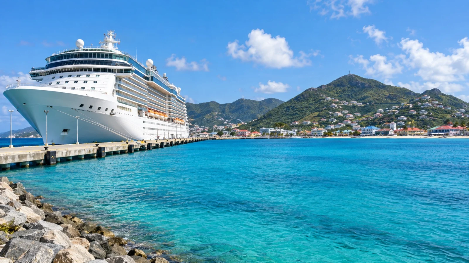
Western gives you the most varied port days of the three. Maya sites, cave tubing, cenotes, zip lines and some of the best reef snorkeling in the hemisphere all sit in this arc.
It also asks the most of you, because the good stuff is rarely at the pier. Expect early meeting times and long bus rides, though you do not have to book a tour in every port to make the week work.
Belize is the clearest example of the pattern. The ship anchors well offshore, you tender in, and the reason to be there is the largest barrier reef in the northern hemisphere, which is another boat ride beyond that.
Southern Caribbean: the one that costs you a flight or a week
Southern is the best product and the hardest to reach. The water is clearer, the ports take fewer ships, and the islands feel like places people live rather than places built for a Tuesday.
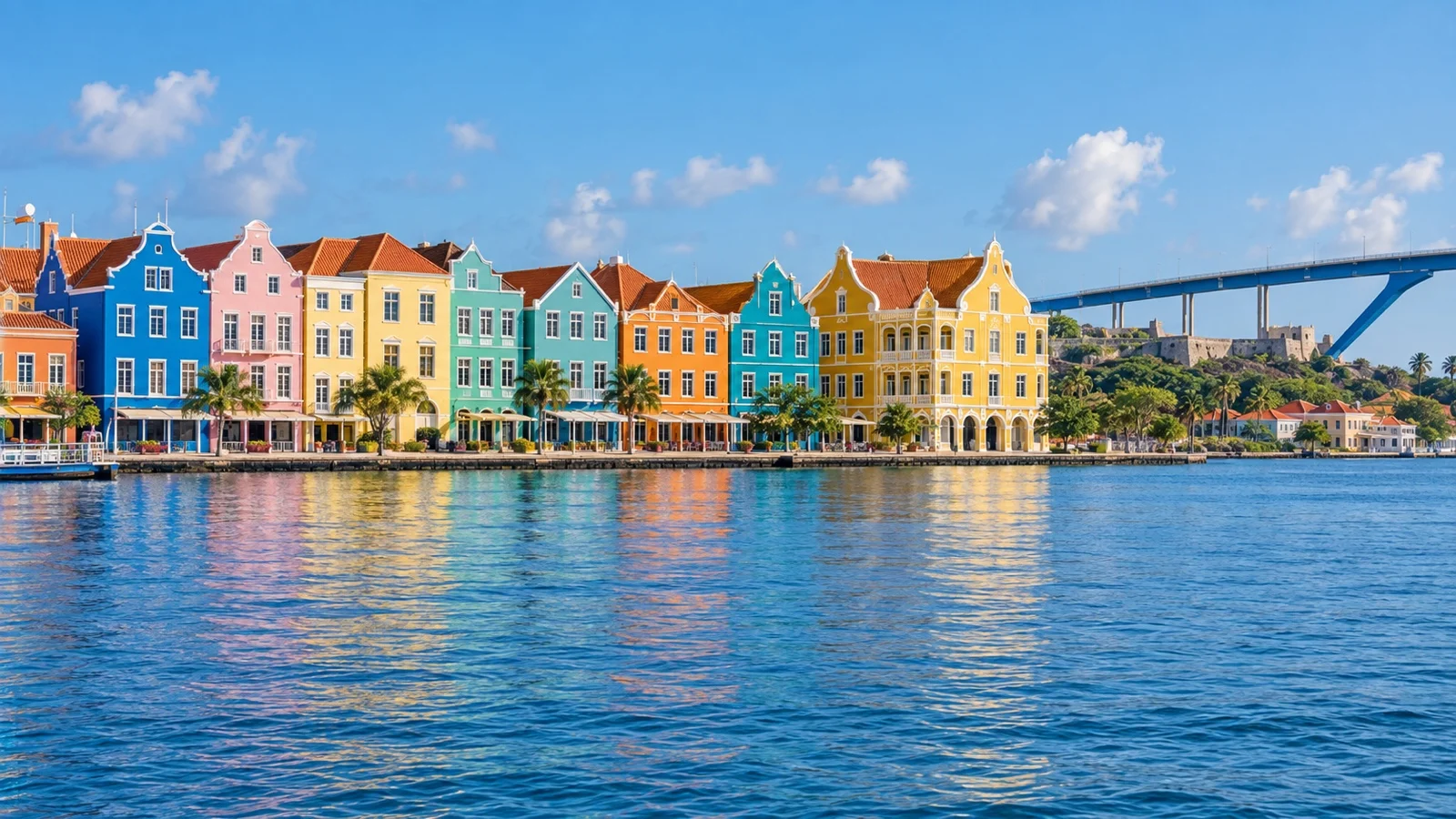
Curacao is the one that surprises people. Willemstad is a protected Dutch colonial trading town with pastel facades and a floating bridge, and it walks like a small European city.
The catch is access, since you either book a longer sailing from Florida or fly to San Juan or Bridgetown. The ABC islands are also not interchangeable, and we cover which of Aruba, Curacao or Bonaire suits you separately.
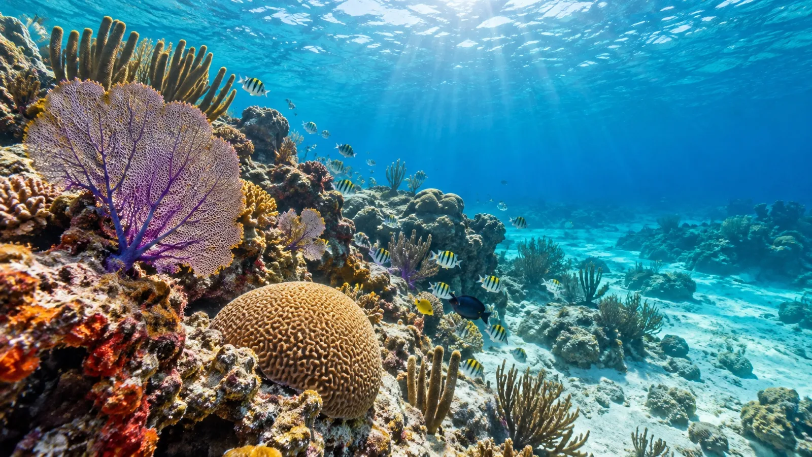
Winter water is not the same in all three
Winter is the high season and it is also the windy season. From late November into February the trade winds strengthen across the central Caribbean, and stretches of 20 to 25 knots from the east are normal rather than remarkable.
That matters most where the ship has to anchor. A tender operation can be canceled by a swell that would not trouble a docked ship at all.
- Grand Cayman: A tender port on an open roadstead, and the classic winter cancellation.
- Belize City: A long tender run from a distant anchorage, which magnifies any chop.
- Private island days: Several Bahamas beach stops are tendered and sit on exposed coasts.
- The northwest corner: Winter cold fronts can push a north swell down toward Cozumel and disrupt small boat traffic.
Eastern and Western itineraries carry more tendered days than Southern ones do. Count them before you book a winter week, and read why the Christmas winds cancel Caribbean tender days before deciding four is fine.
Beaches, judged honestly rather than by brochure
Southern wins on water. The leeward coasts of the ABC islands are sheltered, visibility is consistently good, and Bonaire gives you reef from the shore rather than from a boat.
Eastern wins on convenience and loses on quiet. The sand is excellent and close to the pier, which is exactly why it fills up by eleven on a four ship day.
Western is the weakest of the three for a plain beach day, with Cozumel and Roatan as the exceptions. Seaweed can also land on the good sand in spring and summer, so keep a backup plan for the beach day.
Hurricane exposure, and why fall pushes you south
The Atlantic season runs June 1 through November 30, and it is not evenly spread. The long term climate record for the basin puts the statistical peak on September 10, with most activity between mid August and mid October.
Storms overwhelmingly track through the northern half of the sea, which is Eastern and Western ground. The far southern islands sit low enough that hurricanes reach them rarely, and rarely is not never, but across a season it is a real difference.
That is why southern routing gets pushed in late summer, and why a September Eastern week is the cheapest Caribbean fare you will ever see. Our look at what actually changes when you cruise in hurricane season explains what that discount buys you.
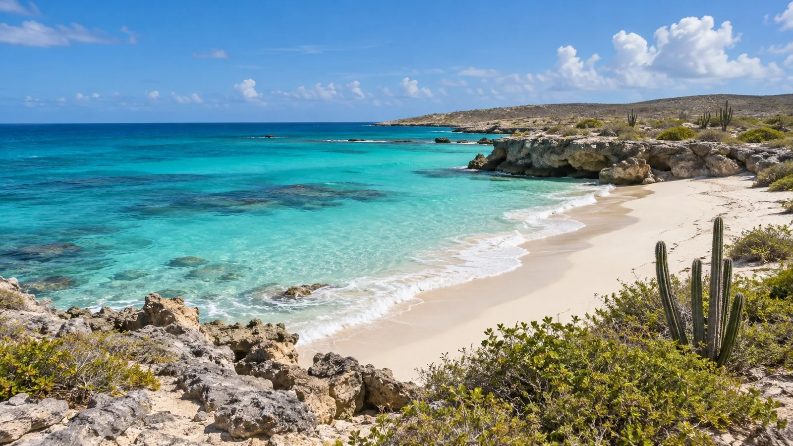
Your homeport decides more than you think
You do not pick a region in a vacuum. You pick a departure port, and that port has already narrowed the list before you open a deck plan.
- Miami and Fort Lauderdale: The US homeports that regularly run all three, including the longer Southern sailings.
- Port Canaveral: Mostly Bahamas and Eastern with some Western, and the easiest one to pair with Orlando.
- Tampa, New Orleans and Galveston: Gulf ports, so Western almost exclusively, with a longer run out to open water.
- San Juan: The shortcut into the southern chain, and the reason a week there can hold six port days.
- Bridgetown: Deep in the lower chain, used mainly by lines that keep a ship down there for the winter.
If you are driving to the ship, the region is chosen for you and that is fine. If you are flying anyway, compare total trip cost rather than fare, which is the point our guide to picking a Florida homeport keeps making.
The part people get wrong
People argue about regions when they should be reading the itinerary line by line. Two Eastern sailings on the same weekend can differ by two port days, and one stop may be a private island that works as a beach club.
I was taken to Castaway Cay as a kid and loved it, so this is not a complaint about private islands. It is a warning that three beach club days in a row is a different vacation than the region on the booking page suggests.
Who each one actually suits
Take Eastern if you have kids who want a beach and adults who want to walk off the ship without a plan. It is the most forgiving region and the easiest to do cheaply, since you can skip every excursion and still have good days.
Take Western if you want your week to contain something other than beaches, and if you accept that the best parts are an hour inland. Take Southern if you have cruised the Caribbean before, or if you are traveling in the fall and want the calmer end of the map.
What I would book
For a first Caribbean cruise, I would book a seven night Western from Miami or Fort Lauderdale in January or February. You get four port days instead of three, the ports are the most interesting of the three, and the short run keeps your week from vanishing into open ocean.
For a second or third one, I would fly to San Juan and sail Southern from there. The flight is the price of admission, and it buys back two port days, better water and islands that do not empty onto the same three beaches.
Quick answers
Which Caribbean itinerary has the most port days?
A Southern week sailing from San Juan or Bridgetown, because it starts inside the island chain instead of spending two days reaching it. From Florida, the Western usually has the edge.
Is the Southern Caribbean safer during hurricane season?
The far southern islands are hit far less often than the northern half of the sea, so late summer sailings down there are less likely to be rerouted. No Caribbean itinerary is immune, and your ship can still change course.
What is the difference between Eastern and Western Caribbean cruises?
Eastern visits the northeastern islands and is built around beaches, towns and shopping. Western visits Mexico, Central America and the Cayman and Jamaican ports, and is built around reefs, ruins and inland trips.
Can you do a Southern Caribbean cruise in seven nights?
Yes, if you sail from a port already in the region such as San Juan. From Florida a seven night Southern sailing is mostly sea days, and nine nights or longer is the version worth booking.
Which Caribbean region has the best beaches?
Southern, on water clarity and on how many people are standing in it. Eastern has excellent sand much closer to the pier, which is both its strength and its problem.
Final word
The three labels describe distance from Florida more honestly than they describe scenery. Western is close, Eastern is a step out, Southern is a commitment, and everything else follows from that.
Book the Western first, in winter, from Miami or Fort Lauderdale. Put the Southern on the list for the trip after that, fly to San Juan for it, and you will get the most days ashore for the least money both times.
How this guide was researched: Regional definitions, sailing distances, homeport patterns, winter wind behavior and Atlantic storm climatology were checked in October 2026 against official climate records, heritage listings and our own port guides. Itineraries, homeport assignments and port day counts change from season to season, so confirm the exact ports and sea days on your own sailing. See our Editorial Policy.
More on this topic: browse every guide on choosing a cruise.