Santa Marta Cruise Port Guide: Tayrona, Taganga and Old Town
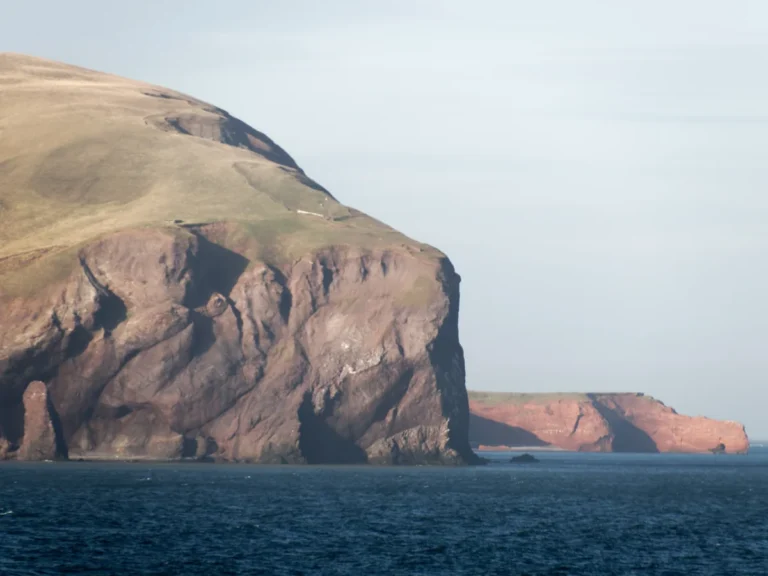
Santa Marta places cruise travelers between the Caribbean and the Sierra Nevada, with a walkable historic center near the port and wild coastal landscapes beyond the city. The choice is not whether there is enough to do, but whether your day belongs to Old Town, a nearby beach, or one carefully verified nature excursion.
Tayrona National Natural Park is the famous headline, yet its access can change for conservation, cultural, weather, operational, or security reasons. Treat the park as a live-status destination and keep a Santa Marta plan that remains worthwhile if entry is unavailable.
Quick Facts
- Country: Colombia
- Region: Caribbean coast, Magdalena Department
- Port setting: Working harbor beside central Santa Marta
- City access: Historic-center sights are generally close after exiting the secure port
- Currency: Colombian peso
- Signature choices: Old Town, Tayrona, Taganga, beaches, and Sierra Nevada foothills
- Main planning risk: Assuming Tayrona is open and underestimating roads or trail time
- Climate: Hot and humid on the coast, with conditions changing toward the mountains
- Best planning rule: Choose one direction and verify the return before leaving port
Where cruise ships arrive
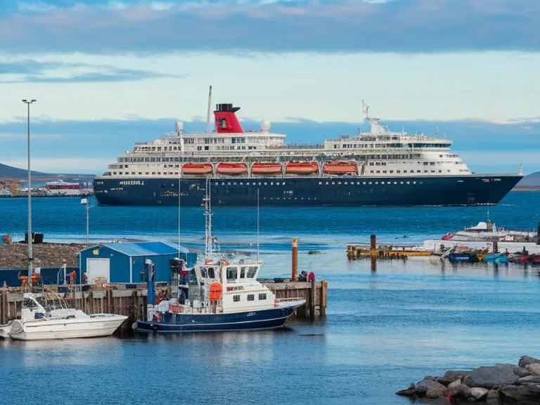
Cruise ships use Santa Marta’s multipurpose commercial port on the bay. The historic center is close, but passengers must follow the terminal’s secured route, shuttle instructions, and authorized exit procedure.
Your ship’s notice controls the details for the day, including gangway, transport meeting point, and all aboard time. Cargo activity or berth assignments can change how quickly you reach the city street.
Walking into the center
Once outside the controlled port area, central sights are close enough for a compact walking day. Heat, broken or uneven sidewalks, traffic, and limited shade can make the route feel longer than the map suggests.
Carry only what you need and keep your phone out of sight when not using it. Ask port staff which exit and streets are currently recommended for visitors.
Santa Marta Old Town
Santa Marta is one of the oldest surviving Spanish-founded cities in South America, and its center mixes colonial history with busy everyday Caribbean life. The streets are more compact and less monumental than Cartagena, which makes them easier to explore during a short call.
A city visit can combine the cathedral, Museo del Oro Tairona, Parque de los Novios, the waterfront, and lunch without a long transfer. This is the most resilient plan when mountain rain, park access, or road conditions are uncertain.
Santa Marta Cathedral
The white cathedral is a central landmark with deep ties to the city’s history. It remains an active place of worship, so services, ceremonies, and restoration work may affect visitor access.
Dress respectfully, keep voices low, and avoid flash or intrusive photography. A quiet visit is more appropriate than treating the interior as a quick photo set.
Museo del Oro Tairona
The Banco de la República’s Museo del Oro Tairona occupies the historic Casa de la Aduana and introduces the region’s Indigenous heritage, archaeology, environment, and colonial history. It provides essential context before a nature excursion into territory shaped by living Indigenous cultures.
Admission policies and opening days should be checked on the museum’s official page. Small museums can close for holidays, maintenance, or program changes that do not appear on an old travel post.
Parque de los Novios
Parque de los Novios is a social center surrounded by restaurants, cafés, and historic facades. It is a natural place to pause, though the atmosphere changes from quiet daytime hours to a livelier evening scene.
Choose a busy establishment, ask for the menu and prices, and keep the ship’s return time in view. A leisurely meal should remain leisurely rather than become a last-minute sprint.
Waterfront and marina
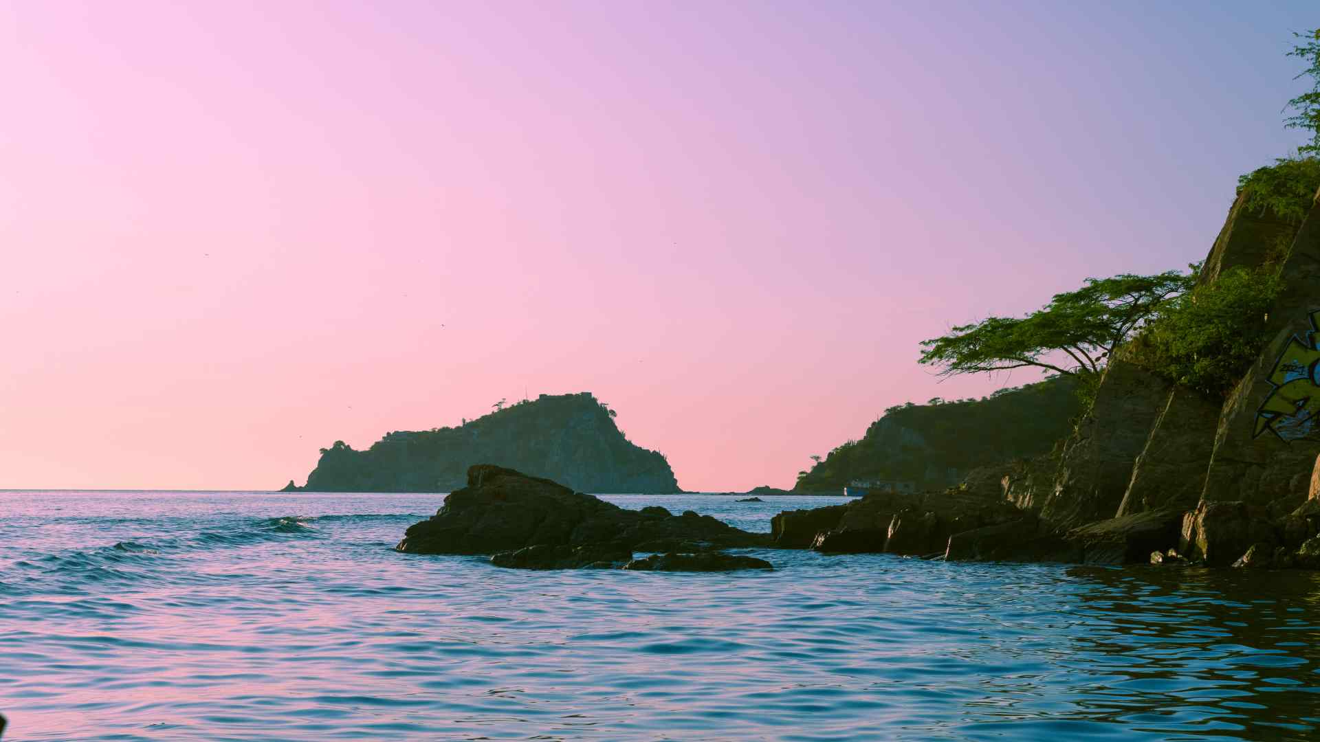
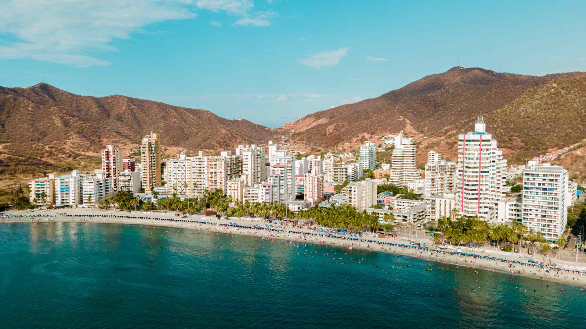
Santa Marta’s bay gives the center a dramatic setting, with mountains beyond the waterfront and fishing, leisure, and commercial activity sharing the coast. A short promenade walk works well before or after the historic center.
Use marked crossings and remain aware of traffic. The visible shoreline is not automatically a supervised swimming beach.
Tayrona National Natural Park
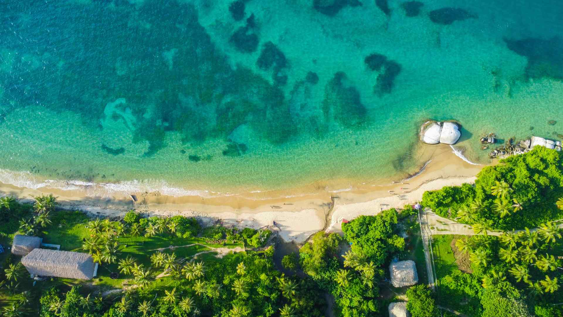
Tayrona protects rainforest, dry forest, coastal habitats, archaeological landscapes, and beaches within ancestral Indigenous territory. A visit can be spectacular, but the park is not one entrance leading directly to one famous beach.
Different sectors involve different roads, gates, trails, and swimming conditions. Choose the exact sector before booking and verify what the excursion includes after entry.
Closures must be checked
Tayrona closes during designated periods that support ecological restoration and the cultural practices of Indigenous peoples. It also experienced an extraordinary security closure in early 2026 before reopening under new measures, proving that access can change beyond the normal calendar.
Check Colombia’s National Natural Parks authority close to the visit and again on arrival. A tour confirmation is not enough if the government has suspended access or changed entry requirements.
Cabo San Juan is not a quick port stop
The famous Cabo San Juan area requires a road journey, park entry, and substantial trail time from common access points. Heat, mud, crowds, animal transport, and the return walk make it difficult to fit responsibly into many cruise calls.
Do not attempt it independently because a map labels the beach nearby. A ship-sponsored or highly coordinated excursion must explain the full walking requirement and turnaround plan.
Swimming restrictions
Several Tayrona beaches have dangerous currents and are not safe for swimming. Enter the water only where current park signs and staff explicitly permit it.
Calm-looking water can conceal powerful conditions. Never cross barriers or follow another visitor into a closed section.
Bahía Concha and closer nature options
Bahía Concha is sometimes offered as a more manageable coastal outing from Santa Marta, depending on current park access and road conditions. It still requires a verified entrance, transport plan, and understanding of beach services.
Ask whether the final approach involves walking, boat transfer, or rough road. Confirm shade, restrooms, food, swimming status, and the exact pickup point before leaving the vehicle.
Taganga
Taganga is a fishing village in a bay north of Santa Marta, known for diving, boat trips, and a compact waterfront. It can provide a scenic change from the city without the commitment of a long Tayrona hike.
The village is busy, and beach quality, boat standards, and traffic vary. Use a reputable operator, keep valuables secure, and confirm the return fare or pickup before separating from your driver.
Boat trips from Taganga
Local boats may offer transport to nearby coves, but destination access and sea conditions can change. Confirm life jackets, passenger capacity, operator credentials, landing method, and return time.
A low price is not a substitute for safe equipment and a clear plan. Tell the operator that you are returning to a cruise ship and set a conservative deadline.
El Rodadero
El Rodadero is a developed beach district south of central Santa Marta with restaurants, hotels, vendors, and water activities. It suits travelers who want a lively resort beach rather than a remote nature setting.
Traffic can slow the trip, particularly when the area is busy. Choose a clear taxi pickup point and return toward the port before congestion becomes a problem.
Minca and the Sierra Nevada foothills
Minca lies in the cooler foothills above Santa Marta and is associated with forest, coffee, birdlife, rivers, and mountain views. The road and local tracks require more time than the distance alone suggests.
A port-day visit works best with a private driver or organized tour that limits the itinerary to one farm, viewpoint, or nature stop. Do not rely on improvised motorcycle transport when ship timing and travel insurance matter.
Coffee and farm visits
A genuine farm tour should explain cultivation, processing, seasonality, and the people behind the product. Confirm how much walking is involved and whether the road reaches the entrance.
Buy sealed products that comply with your ship’s and home country’s agricultural rules. Fresh plant material may not be permitted onboard or through customs.
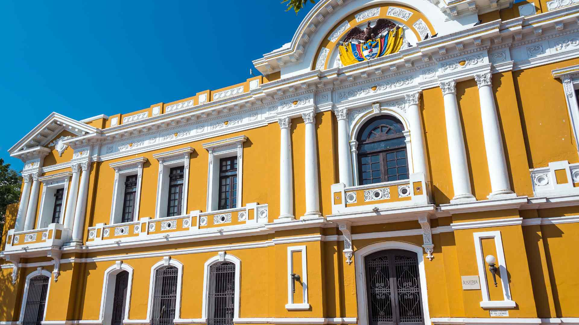
Quinta de San Pedro Alejandrino
The Quinta de San Pedro Alejandrino is associated with Simón Bolívar’s final days and includes historic buildings, gardens, and museum spaces. It lies outside the immediate walking center and requires transport.
Check the foundation’s current hours and exhibition access. The site pairs well with a city tour but should not be added casually after a long Tayrona excursion.
Three realistic port-day plans
History and food
Walk the old center, visit the Tairona Gold Museum, enter the cathedral when appropriate, and have lunch near Parque de los Novios. Add the waterfront and return through the recommended port entrance with time to spare.
Easy coast day
Use a prearranged driver for Taganga or El Rodadero and keep the plan to one beach district. Confirm swimming conditions, a return pickup, and an early departure back to the ship.
Tayrona priority
Book a ship excursion or trusted operator for one officially open sector, then recheck park status on the day. Carry identification and any required documents, follow staff instructions, and do not add an independent stop after the park.
Safety
Use official port transport or reputable prearranged operators, particularly outside the center. Keep jewelry discreet, carry limited cash, avoid displaying your phone unnecessarily, and follow local advice about streets or areas to avoid.
Withdraw money inside a bank or secure location when possible and protect your card at machines. Do not accept drinks, tours, or transport from someone who will not state the price and service clearly.
Conditions in and around Tayrona can change for security as well as weather and conservation. Government park notices and the cruise line’s local briefing should guide your decision.
Accessibility
The port’s secure transfer and gangway arrangement should be confirmed with the ship. In the old center, uneven sidewalks, curbs, traffic, heat, and occasional steps can create barriers despite short distances.
Tayrona trails and many natural beaches are not suitable for every mobility need. Ask for exact walking distances, surfaces, steps, vehicle access, restrooms, and whether a traveler can remain with the vehicle.
A private city drive with the Quinta, waterfront, and accessible museum stops may be a better fit. Contact each attraction directly because historic buildings can have limited step-free routes.
Weather and what to bring
Santa Marta is hot, sunny, and humid at the coast, while the Sierra Nevada foothills can be cooler and wetter. Heavy rain can affect park roads, trails, rivers, and boat operations even when the port looks clear.
Carry water, sun protection, insect repellent, a light rain layer, and shoes with grip. Use a dry bag for electronics on boat or rainforest excursions.
Money, food, and practical details
Colombia uses the peso, and cards are accepted at many established businesses. Carry small local notes for minor purchases and confirm the currency before agreeing to any fare.
Coastal cooking may feature fish, coconut rice, plantain, yuca, arepas, and tropical fruit. Ask about shellfish, dairy, and preparation if you have allergies.
Drink sealed or properly filtered water and use busy, clean food establishments. Keep enough time for the bill and return rather than ordering a slow meal at the end of the day.
Common planning mistakes
The biggest mistake is assuming Tayrona access because a cruise excursion once ran there. The second is underestimating the walk to a famous beach after the vehicle reaches a park gate.
Travelers also combine Minca, Taganga, Old Town, and Tayrona in one ambitious circuit. Choose one direction, keep the final stop optional, and return before road or port delays become urgent.
Final verdict
Santa Marta offers a rewarding balance of living history and extraordinary nature. The old center is the reliable choice, while Tayrona, Taganga, and Minca reward travelers who verify access and give one area the time it deserves.
Use current government information, travel with a reputable operator outside town, and keep a generous return margin. The day will feel richer when it is built around one clear direction.
Verify current conditions with Colombia’s National Natural Parks, the Museo del Oro Tairona, and your cruise line’s port instructions before finalizing the day. Berths, port exits, Tayrona closures, entry rules, security measures, trail conditions, beach access, and transport can change, so confirm every time-sensitive detail for your sailing date.