Magangué River Cruise Port: Magdalena Landing & Nature Guide
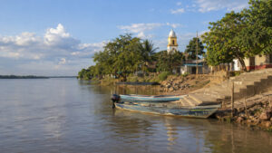
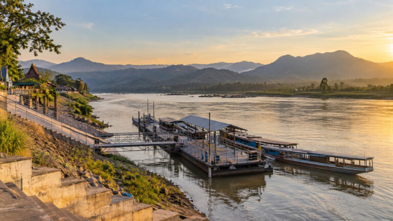
Magangué is where a Magdalena River cruise stops pretending the river is merely the route and lets the water become the main event. Birds lift from the floodplain, small boats slip toward Boca de Tacaloa, and the city works around a waterfront that has moved people and goods for generations.
This is not a polished European quay with a universal address and a tidy sign saying “cruise guests this way.” Magangué is an active Colombian river port, and the day’s ship position, landing, small-boat transfer, and nature excursion can change with the river.
Magangué River Cruise Port Quick Facts
Into Town: The day’s landing is not publicly fixed. A central waterfront stop can be walkable, but many guests transfer directly into an included nature excursion.
Currency and Language: Colombian peso. Spanish is official; English is limited outside the ship’s guided program, so download Spanish and carry small bills.
Time Zone: Colombia Time (COT), UTC-5 year-round. Magangué does not observe daylight saving time.
Disruption risk: River level, sedimentation, current, storms, or small-boat conditions can change the landing, excursion, timing, or call; no audited local cancellation rate is published.
No river authority or cruise line publishes a Magangué missed-call percentage. An altered nature outing or ship position may be more likely than complete removal of the destination.
Do River Cruises Really Stop in Magangué?
Yes. AmaWaterways’ current Magic of Colombia itinerary places Magangué on the Magdalena program in 2026 and 2027, with nature and music as the day’s theme.
The line’s other direction and itinerary also uses Magangué for a nature excursion around Boca de Tacaloa before continuing toward Mompox. Ports and excursions remain subject to change, which is ordinary contract language but particularly relevant on a dynamic tropical river.
AmaMagdalena entered service in 2025, and the line now markets both AmaMagdalena and AmaMelodia on the route. The current AmaMagdalena ship page identifies a 223-foot vessel carrying 60 passengers and describes guided excursions in each port.
This is firm evidence of active multiday river-cruise calls, not a sightseeing boat that happens to pass the city. It also explains why Magangué feels different from the ocean-port logistics in our Cartagena Cruise Port guide.
Where Is Magangué on the Magdalena?
The Magdalena divides near El Banco as it enters the broad wetlands of the Depresión Momposina. The western Brazo de Loba carries the principal navigable flow, while the eastern Brazo de Mompox passes the historic city of Mompox before the channels reunite downstream around Boca de Tacaloa.
Magangué sits in that watery junction zone on the Brazo de Loba side. The Cauca and San Jorge rivers also feed the larger La Mojana and lower Magdalena system, which helps explain the local nickname “Capital of the Rivers.”
A regional environmental plan describes La Mojana as a complex network of rivers, channels, marshes, and floodplain. That is not background scenery because seasonal exchange among those waters controls navigation, fishing, wildlife habitat, and daily life.
Do not collapse Magangué, Mompox, and “the Magdalena” into one interchangeable label. Mompox is a separate historic stop on a different branch, while Magangué is the modern river crossroads and nature-excursion base.
Where Does the Cruise Ship Land?
No current public AmaWaterways page assigns every sailing to one named Magangué pier. The operator describes the destination and excursions, but not a permanent berth number or guaranteed gangway address.
That omission matters because Magangué has a working waterfront with regional passenger boats, cargo activity, concession areas, floating access points, and smaller informal or local embarkation sites. A map pin labeled “port” does not prove it is your ship’s position.
The cabin vessel may secure at an operational landing, moor along the river, or transfer guests directly to a smaller excursion boat. Exact practice can vary with vessel, water level, sediment, local traffic, and the day’s planned wildlife program.
A smaller boat should not automatically be called a tender in the ocean-cruise sense. In Magangué it may be the actual excursion craft, carrying guests from the ship into channels and wetlands without a conventional town landing between them.
Use the cruise director’s briefing and the ship’s daily program as the controlling sources. Ask whether you will step onto shore, transfer boat to boat, cross a floating pontoon, or climb a riverbank ramp before assuming a downtown stroll is possible.
Boca de Tacaloa Nature Excursion
AmaWaterways currently describes an excursion by intimate boat into the wild landscape around Boca de Tacaloa. This is the water junction where the Mompox branch returns to the larger Magdalena system near Magangué.
The attraction is the ecosystem rather than one constructed sight. Expect floodplain water, riverbank vegetation, fishing activity, birds, shifting channels, and a guide explaining why this complicated hydrology matters.
Wildlife is never under contract. A brochure can promise a birdwatching outing, but no responsible guide should promise a particular species, photograph, flock size, or close approach.
Bring compact binoculars, a camera strap, sun protection, insect repellent, and a waterproof pouch. Keep voices low when the guide spots wildlife, and do not play bird calls unless the naturalist says it is appropriate.
Small-boat seating may be fixed, low, narrow, or exposed, and spray is possible. Confirm shade, flotation equipment, restroom timing, step height, trip duration, and whether the boat returns directly to the ship.
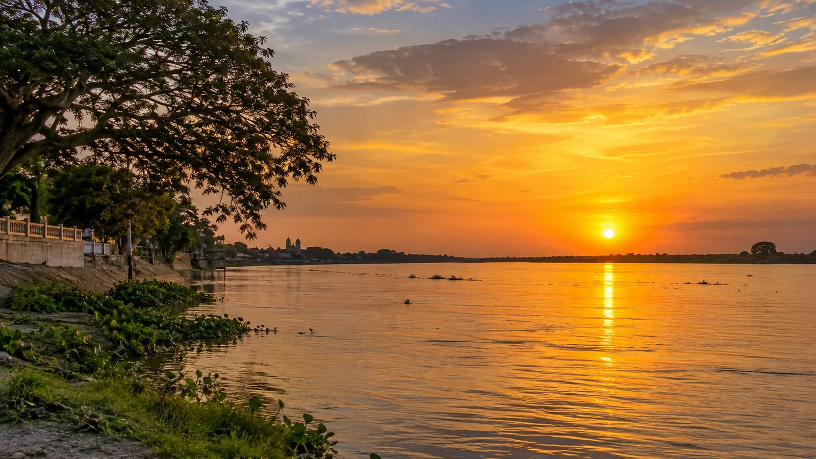
“Ciénaga” Is a Landscape, Not One Guaranteed Address
Some current itineraries offer a ciénaga visit or use the word without naming one specific marsh. In Colombian Spanish, ciénaga can mean a lagoon, marsh, or connected wetland, so it should not be turned into a proper-name attraction by an overeager map search.
The actual water body and route can change with navigability, wildlife, weather, and community arrangements. Ask onboard which ciénaga the excursion will visit and whether guests board from the ship or a shore landing.
These wetlands are working landscapes that support fishing and settlements as well as biodiversity. Follow local guidance, avoid photographing residents at close range without permission, and do not treat a household or fishing boat as set decoration.
Can You Walk into Magangué?
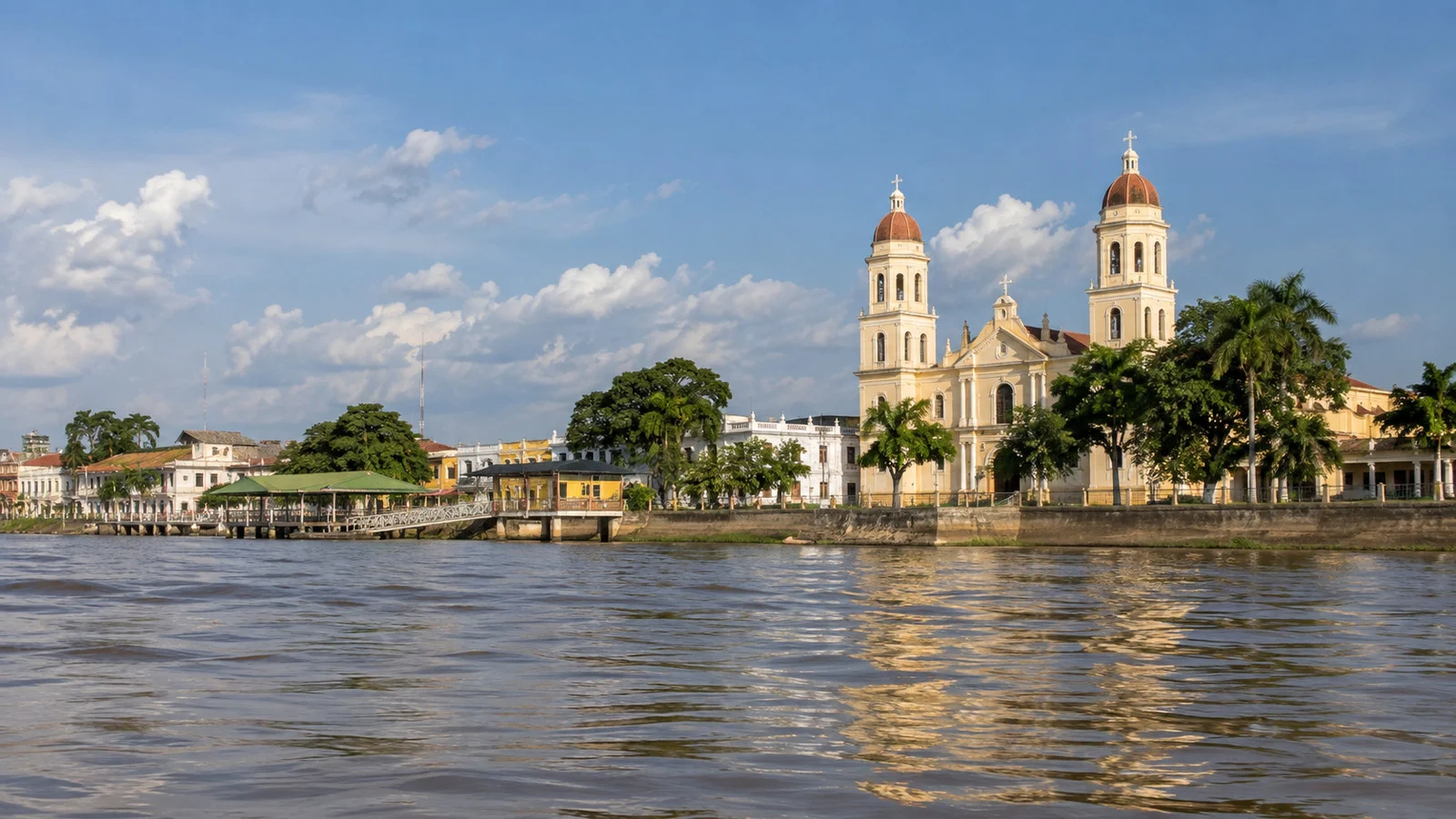
Possibly, if the ship or transfer boat uses a central waterfront landing and the operator permits independent time. The historic commercial edge along the Albarrada sits close to central streets, but no current cruise source promises a walk-off schedule.
From a central landing, allow about 5 to 15 minutes to reach the cathedral and nearby waterfront sights. That is an editorial map estimate, not a guarantee from an unnamed or remote operational mooring.
Magangué is a regional commercial center, not a preserved colonial stage. Expect motorcycles, local boats, vendors, heat, uneven paving, energetic street life, and the ordinary business of a city whose riverfront still has work to do.
Independent wandering should remain secondary to an included nature program unless the cruise director confirms enough free time. Missing the ship in a place where “the next stop” may be on another river branch is an ambitious way to test your Spanish.
A Short Central Waterfront Loop
The official Bolívar tourism inventory identifies the Cathedral of Our Lady of Candelaria on the Albarrada, Parque de las Américas, riverfront mosaics by Magangué artist Eduardo Butrón, and his Patio Museo. The same inventory says a museum visit should be coordinated in advance.
Begin with the riverfront, locate the cathedral, then continue toward the park and public mosaics if the route is busy and your guide approves it. This is a modest urban loop whose reward is local context, not a checklist of blockbuster monuments.
The cathedral is an active religious building, so services and private events take priority. Dress respectfully, keep voices low, and do not assume doors will be open during a short call.
The official Bolívar tourism characterization also emphasizes the Albarrada food tables and the city’s fishing, rice, livestock, and river commerce. Hours, vendor mix, and hygiene vary, so use the document for orientation rather than as a live opening schedule.
Food and Small Purchases
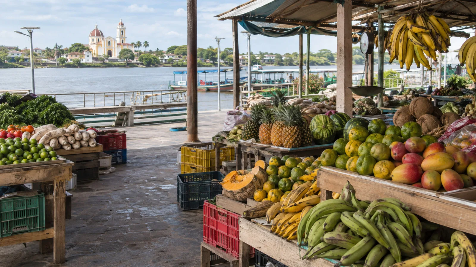
Freshwater fish, rice, soups, fried snacks, tropical fruit, and regional candy fit the setting better than imported cruise-terminal souvenirs. Ask your guide what is seasonal and choose a busy, clean stall with food cooked thoroughly.
Use sealed water and be cautious with ice or raw garnishes when the source is uncertain. A brave lunch should still leave enough dignity for a two-hour small-boat ride.
The Colombian peso is the practical currency for independent purchases. Carry small bills, confirm the price before accepting a ride or service, and do not expect every seller to take cards or U.S. dollars.
Accessibility at Magangué River Cruise Port
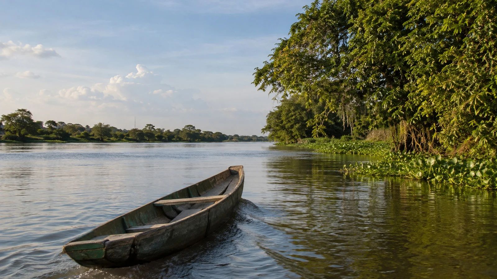
Accessibility depends first on the transfer, not the town. A boat-to-boat step, moving platform, steep gangway, narrow excursion craft, or muddy edge can prevent a traveler from joining even when the central streets look relatively level.
Ask the cruise line for exact details about your wheelchair or scooter, transfer assistance, lift availability, small-boat entry, seat back, shade, restroom interval, and ability to remain aboard. Confirm again onboard because the river can change the planned arrangement.
Do not infer that an “intimate excursion boat” is accessible. A crew may safely assist a folding manual chair in one configuration while a large power chair cannot be transferred at all.
Central Magangué is mostly low and flat, but heat, curbs, broken paving, waterfront edges, traffic, and limited step-free restrooms create barriers. Our wheelchair-friendly cruise ports guide explains the questions to ask, but ship-specific confirmation is essential here.
River Levels, Sedimentation, and Weather
The lower Magdalena system rises and falls with rainfall across a vast basin. Floodplain channels can expand in wet periods and contract in drier ones, while sediment continually reshapes depths and navigable routes.
High water can flood low approaches or create stronger current, while low water can reduce clearance beneath the hull and close a smaller channel. Neither condition follows a perfectly reliable month-by-month promise.
AmaWaterways says rare high or low water events can lead to adjusted schedules, overland transfers, or other operating alternatives. That policy supports flexibility, but it does not guarantee the exact Magangué excursion will survive every river change.
Expect tropical heat, high humidity, intense sun, and sudden rain. Wear breathable clothing, closed shoes with grip, a hat that will not fly off the boat, and a light rain layer.
Health Planning
The U.S. Centers for Disease Control and Prevention recommends yellow fever vaccination for most travelers age nine months and older outside limited exempt destinations. It also identifies malaria transmission below 5,600 feet in Colombia, excluding Bogotá, Cartagena, and Medellín.
Magangué is a low-elevation river city and is not one of those urban exclusions. Discuss vaccination, malaria prevention, medication interactions, and personal contraindications with a travel-medicine clinician well before departure.
CDC entry-requirement language and Colombian rules can change during outbreaks, so recheck the official page for your route and passport shortly before travel. Mosquito avoidance remains important even when a traveler is vaccinated or taking preventive medication.
Use repellent as directed, cover exposed skin when practical, and report fever during or after travel promptly with your itinerary. Medical evacuation coverage deserves serious consideration because specialist care may require transfer to a larger city.
Safety and Independent Exploring
Magangué is not a mass-tourism port where independent visitors can assume bilingual signs, established taxi stands, or a stream of cruise passengers returning to the same pier. Organized excursions offer transport, local interpretation, and a reliable link to the moving ship.
Keep phones and wallets discreet, use only the cash you need, and stay on busy central routes in daylight. Do not follow an unsolicited guide or boat operator away from the official group.
Save the ship’s contact, all-aboard time, and exact return location offline. A photograph of the actual landing is more useful than a generic “Puerto de Magangué” pin.
Life jackets should be available and worn as directed on small boats. Keep hands inside, remain seated while moving, and never step between craft until the crew has secured them.
Colombia’s emergency numbers include 123 for general emergencies. For a changed excursion, late return, or wrong landing that is not an emergency, call the ship or local ground team first.
Getting to Magangué Independently
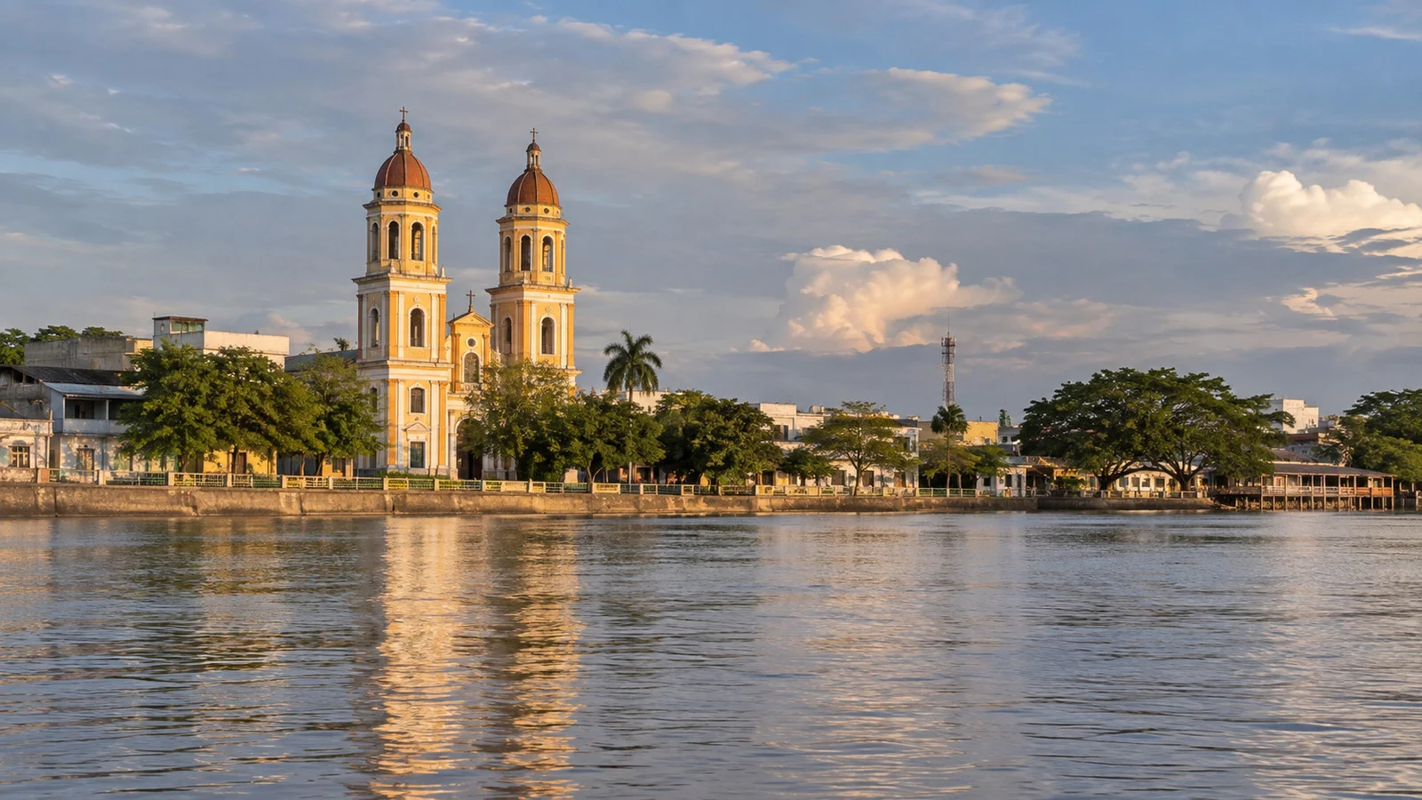
Magangué is not the normal embarkation or disembarkation city for international river-cruise guests. Current AmaWaterways programs use Cartagena and Barranquilla as the main endpoints, sometimes with flights or land packages involving Medellín or Panama City.
The Bolívar tourism inventory estimates roughly four hours by road from Cartagena, but traffic, road works, weather, and stops can make it longer. Treat four to five hours as an editorial planning range and arrange a reputable driver rather than relying on a tight same-day connection.
Do not plan around local air service without a confirmed ticket because Magangué is not served like a major commercial airport hub. Arriving through Cartagena or Barranquilla and following the cruise line’s transfer instructions is far more predictable.
Our South America Cruise Ports guide helps compare the wider route. Magangué’s scale is smaller, but its hydrology asks for more precise planning than many large coastal terminals.
A Practical Magangué Port-Day Plan
Choose the included Boca de Tacaloa, birdwatching, or ciénaga program as the day’s anchor. This is the experience the current route is designed around and the one least easily recreated alone.
If the operator confirms a central landing and free time, add a 45 to 90-minute Albarrada walk to the cathedral, park, and public mosaics. Keep the loop short enough to absorb heat, a slow boat transfer, or a changed meeting point.
Travelers with mobility concerns should decide only after hearing the exact transfer sequence. Remaining on the ship may be the safer choice when boat-to-boat movement is required and no accessible alternative exists.
Return to the assigned meeting point earlier than required and verify the vessel name before boarding. Magangué has enough boats to make “the white one on the river” a spectacularly unhelpful description.
Final Verdict
Magangué is a valuable Magdalena call because it explains the river as an ecosystem, transportation network, commercial artery, and lived landscape. The best day is less about collecting monuments and more about understanding why all these waters meet here.
Follow the naturalist, keep the downtown plan optional, and let the ship’s briefing outrank an old map pin. The river is the attraction, but it is also the part of the itinerary that refuses to sit still for a photograph.
Use the guided nature plan, not a guessed city dock
Magangué cruise landings are arranged operationally, and the exact waterfront position can change with sediment, local traffic, and river level. Take the ship contact and return location ashore because the city has several working boat areas rather than one tourist terminal.
Boca de Tacaloa and wetland outings use smaller boats and natural channels whose route depends on the day. Choose the operator’s excursion for a licensed boat, life jacket, local guide, and return plan, then treat wildlife sightings as possible rather than promised.
The central waterfront can provide a short local walk when the crew approves independent time, but heat and security make wandering far inland poor value. Carry small pesos, ask before photographing people, and buy food only where hygiene and timing feel comfortable.
Colombian visa and arrival requirements depend on nationality, while mosquitoes, sun, rain, soft banks, and boat transfers require preparation. Ask about mobility-device handling and medical support before booking, and return well before the local boats begin loading.
How We Researched This Guide
This guide was researched and fact-checked on September 12, 2026 using current AmaWaterways itineraries and ship information, Colombian waterway and transport records, Bolívar tourism material, regional environmental planning, and CDC travel-health guidance.
Walking times, the road transfer range, and possible landing scenarios are explicitly editorial planning estimates. We do not claim a personal visit, name an unverified universal berth, or convert a generic ciénaga excursion into a fixed attraction.
River levels, landings, excursions, road times, health rules, and attraction access can change after publication. Our Editorial Policy explains sourcing, corrections, and how we label desk research.
How this guide was researched: This guide was checked on September 12, 2026, against AmaWaterways’ current Magangué itinerary and ship pages, Colombian regional environmental and tourism documents, and current CDC Colombia travel-health guidance. Confirm the live landing, small-boat plan, daily program, entry rules, accessibility, and cancellation terms before travel.
See our Editorial Policy.