Ohio River Cruise Ports: Louisville to Pittsburgh, Dock by Dock
Ohio River cruise ports have a refreshing lack of identical terminals. One morning brings a city wharf, the next a small-town levee, and another a floodwall passage that feels like the ship has docked backstage.
That variety is charming until somebody writes “downtown” without explaining the stairs between you and it. This guide compares the useful details from Louisville to Pittsburgh, including the Henderson and Evansville call that occasionally behaves like two cities sharing one name tag.
Quick take
Cincinnati, Madison, Maysville and Marietta are the easiest places to understand on foot once the gangway is open. Louisville and Pittsburgh offer more attractions, but the precise berth and city scale make transportation more important.
Henderson and Evansville need the most attention to the daily program because itineraries may combine them as one regional call. Never assume the ship, excursion buses and attraction list are all on the same side of the river.
Across the route, high water is the bigger disruption risk than ordinary low water. Locks and dams maintain a navigation channel, but they cannot make a levee staircase, floating landing or flooded access road behave normally.
Ohio River cruise ports compared
- Louisville, Kentucky: Expect City Wharf or another operator-assigned waterfront position. Museum Row, bourbon history, and Churchill Downs are the main choices; confirm the assigned landing in the daily program.
- Madison, Indiana: The expected arrival area is Madison Riverfront. The historic district and Broadway Fountain suit the call; river conditions can still change access or timing.
- Cincinnati, Ohio: Public Landing places guests near the riverfront. The Freedom Center and downtown museums are practical priorities; confirm the mooring point and riverfront access.
- Maysville, Kentucky: Limestone Landing serves the compact town. Choose the floodwall murals, downtown, or an arranged Old Washington visit; high water can affect floodwall and landing access.
- Marietta, Ohio: The Ohio River Levee at Front Street is the expected landing area. Campus Martius, the earthworks, and historic streets fit the call; published riverboat dates remain subject to change.
- Pittsburgh, Pennsylvania: The operator assigns a quay near the Point, often on the North Shore. Point State Park, the Warhol Museum, and the Heinz History Center are the strongest choices; the exact quay can vary.
- Henderson, Kentucky, or Evansville, Indiana: Treat the slash as a regional call whose landing is assigned by the operator. Audubon sites or Evansville history suit the stop; confirm which city receives the gangway.
No port authority or cruise line publishes route-wide missed-call percentages for these stops. Walking and driving times in this guide are editorial planning estimates affected by the assigned landing, traffic, and mobility.
Why water level still matters on a controlled river
The US Army Corps of Engineers maintains a nine-foot navigation channel through the Ohio River lock-and-dam system. The system operates for commercial navigation year-round, but delays, closures and unusual flows remain possible.
A maintained channel does not make an itinerary weatherproof. High water, lock restrictions, and landing access can still delay or change a call, while low stages may affect gangway angle.
Ships may arrive early, wait for a lock, use an alternate landing or shorten a call. Check the overnight briefing, because yesterday’s attractive printed schedule has no authority over today’s tow traffic.
USACE navigation notices report lock closures, hazards and channel work, while NOAA river gauges show current stages. Passengers should still follow the captain’s operational guidance.
Louisville: City Wharf is central, not step-free by definition
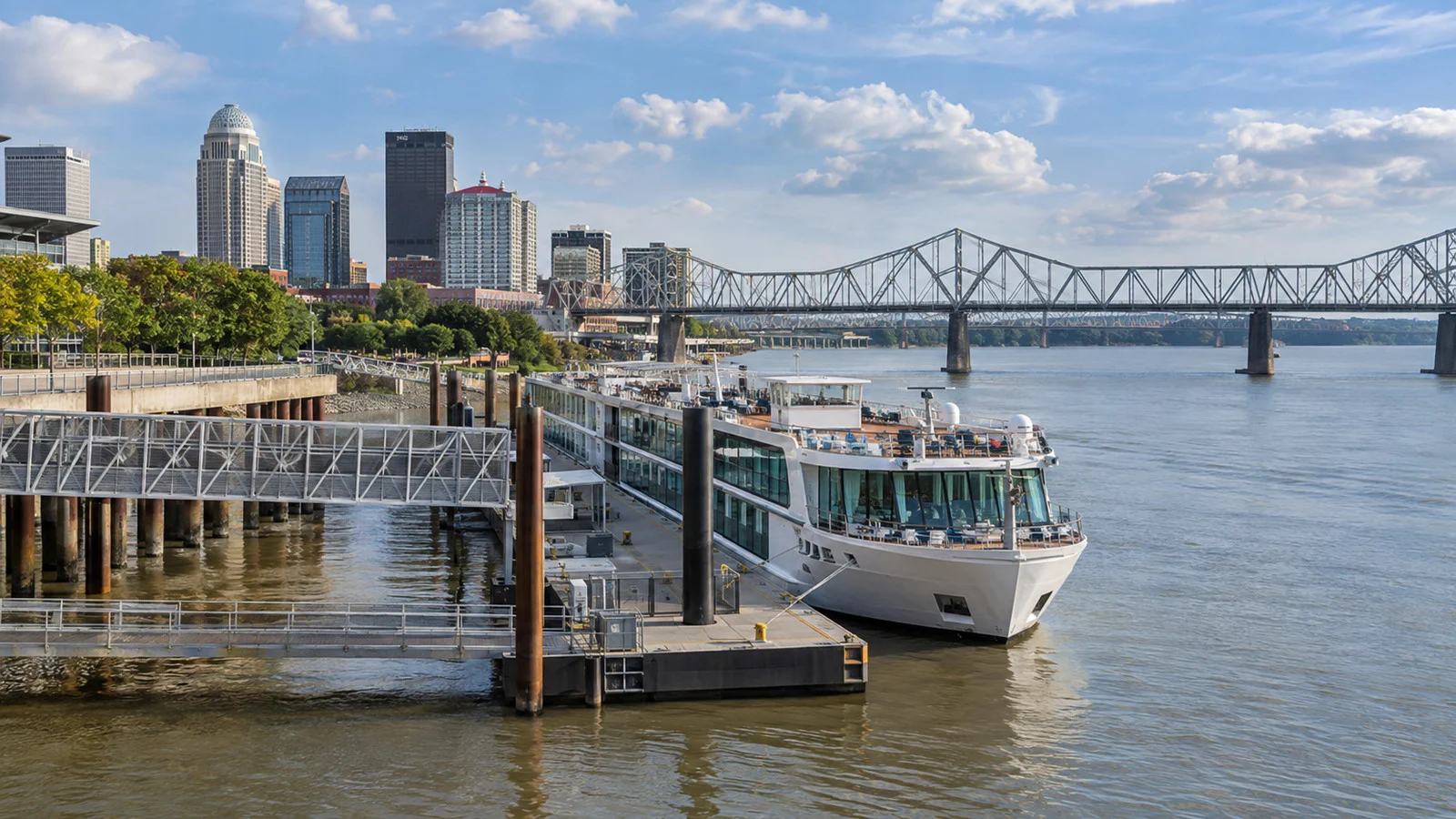
Louisville’s City Wharf lies on the downtown waterfront west of the Second Street Bridge. Municipal rules specifically reserve the wharf for permitted mooring, while the nearby Wharf Lot sits between Second Street and Bingham Way.
The exact cruise position can vary when local riverboats or multiple visitors occupy the waterfront. If your operator assigns another landing, the Louisville wharf information is a landmark, not proof of where your gangway will be.
From the central wharf, the Belvedere and Main Street museums are an estimated 10 to 25 minutes away, depending on the exit and elevator or stair route. Louisville Slugger Museum, the Muhammad Ali Center and bourbon attractions make an easy downtown day.
Churchill Downs is an estimated 15 to 30-minute drive in ordinary traffic and is better handled by a reserved ride or ship excursion. Distillery visits need reservations, identification and a plan that does not involve sampling first and locating the ship second.
High water, current, McAlpine operations, berth congestion, or broader itinerary changes can affect Louisville. A different landing may be used, so follow the daily program.
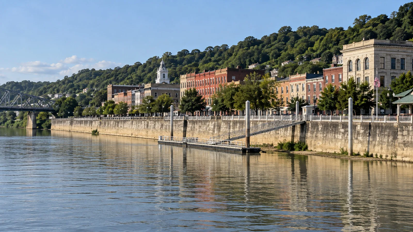
Madison: a new cruise call with an old downtown
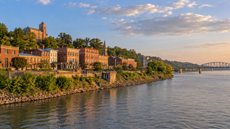
American Cruise Lines currently includes Madison on its Ohio River itinerary, and Visit Madison has documented American Melody at the Madison Riverfront. The landing places passengers below one of the country’s largest National Historic Landmark districts.
Main Street is an estimated 5 to 15-minute walk after the gangway and riverfront grade. Broadway Fountain, Lanier Mansion’s neighborhood and blocks of preserved commercial architecture fit a comfortable independent loop.
The town is compact, but a riverbank is not a hotel lobby. Expect a floating or stage-sensitive gangway, possible incline and limited shade while moving from the waterfront to the street grid.
High water, landing condition, or schedule recovery after a lock delay can compress the Madison visit. Check the daily program before making an independent plan.
Cincinnati: Public Landing earns its name
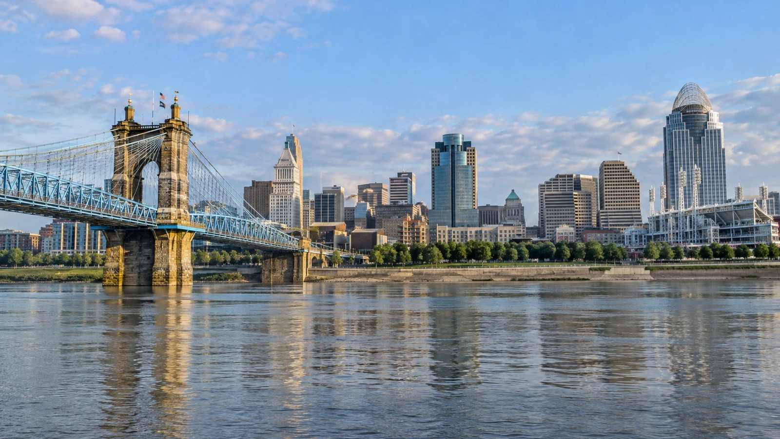
Cincinnati law defines Public Landing along the downtown riverfront and directs the city to accommodate passenger carriers and excursion boats. That makes this one of the route’s clearest official port-of-call facilities, even when the exact mooring point shifts along the landing.
The city code is dry reading with excellent geographic consequences. Smale Riverfront Park and the Roebling Bridge are immediate, while the National Underground Railroad Freedom Center is an estimated 5 to 10 minutes away.
Fountain Square is roughly 15 to 20 minutes uphill at an easy sightseeing pace. The Cincinnati Art Museum requires a ride, and the riverfront stadium museums should be checked for game-day access.
The sloped Public Landing can be a long climb from the water at lower stage and may be restricted during flooding. High water, landing access, lock delays, and events are the main variables.
Maysville: through the floodwall and into town
Overnight riverboats use Limestone Landing, where a floating dock and fixed walkway sit outside Maysville’s floodwall. A passage beneath the railroad connects the landing to downtown, so the route is short but not visually obvious from the gangway.
An Ohio River Way assessment confirms that large riverboats have used the landing and describes downtown as a short walk through the floodwall. The river-town review also notes the dock, walkway and need for clearer wayfinding.
The floodwall murals begin at the landing, and the Kentucky Gateway Museum Center is an estimated 5 to 10 minutes inland. Old Washington is several miles away and belongs on a shuttle, excursion or prearranged ride.
High stage can close floodwall openings and alter landing access. A smaller landing, floodwall logistics, and lock delays can also compress the call.
Marietta: the levee is the terminal
Ships moor at the Ohio River Levee at 100 Front Street, below Marietta’s historic downtown. The Washington County visitor bureau lists 2026 riverboat visits there and warns that published dates can change.
The official Riverboat Days listing confirms American Heritage at the levee in August 2026. For passengers, the practical issue is the vertical trip from ship level to Front Street by ramp, steps or an arranged accessible route.
Once above the levee, downtown is immediate. Campus Martius Museum, the Castle, Mound Cemetery, Harmar Village and the confluence of the Muskingum and Ohio give this small call remarkable historical density.
Choose two major sites rather than converting early American history into interval training. The operator’s local loop is useful for the Castle and earthworks beyond the flattest waterfront blocks.
High water, levee access, and accumulated navigation delays can change the Marietta call. The levee has little shelter, so heat and rain affect comfort even when docking proceeds normally.
Pittsburgh: the Ohio begins here, but the berth can move
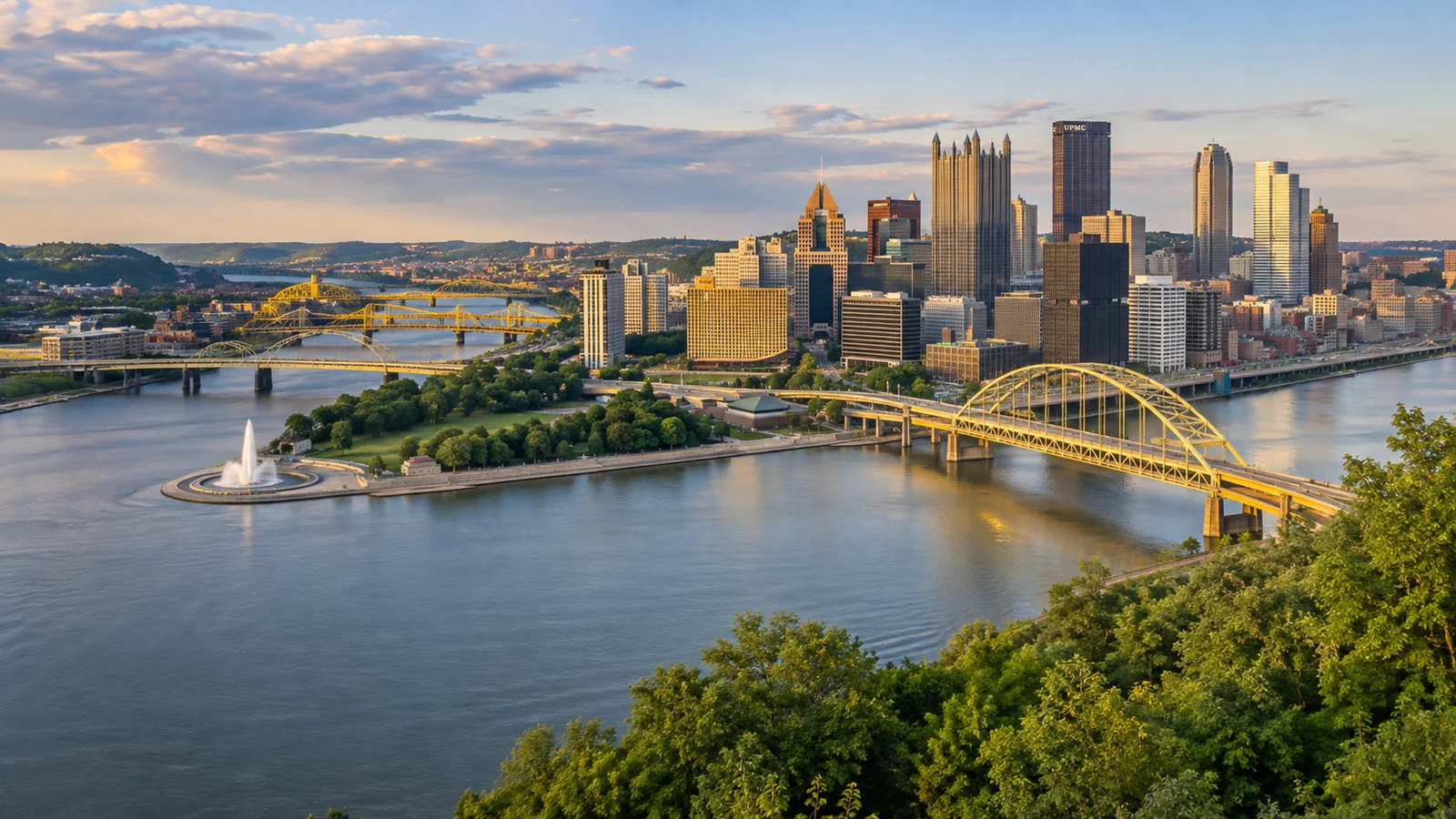
The Allegheny and Monongahela meet at Point State Park to form the Ohio River. American Cruise Lines says its ship docks near that confluence, but public itineraries do not promise one permanent pier for every sailing.
Some operator images and recent calls place vessels on the North Shore, where the Andy Warhol Museum and stadium district are close. A different quay can change the easiest bridge, so save the actual gangway location before walking off toward a skyline full of tempting yellow options.
The current Ohio River itinerary includes the Warhol Museum, Senator John Heinz History Center and a city experience. Point State Park is the natural independent anchor, while the Duquesne Incline or more distant museums need transportation planning.
Pittsburgh may be an embarkation or overnight endpoint, so hotel transfers can matter more than a conventional four-hour call. The exact quay, river traffic, and upstream lock timing are more variable than the destination itself.
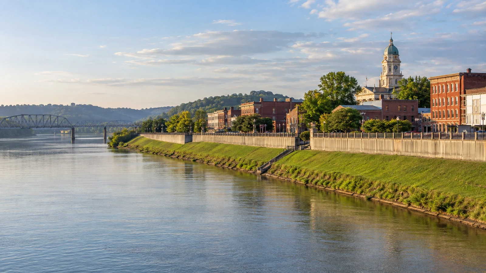
Henderson and Evansville: read the slash carefully
American Cruise Lines markets some extended Ohio itineraries as “Evansville, IN / Henderson, KY.” The paired label reflects a regional program, not a guarantee that the vessel physically docks in both cities.
Henderson’s riverfront has a paved three-mile path, and John James Audubon State Park is an estimated 10 to 20-minute drive. Evansville excursions can include the Evansville Wartime Museum and other city-history sites across the river.
The actual landing and bus sequence should come from the daily program because arrangements have changed between operators and seasons. A self-booked ride that starts on the wrong bank is a surprisingly efficient way to learn regional geography.
Relocation between regional landings, substituted excursions, high water, and schedule compression can change this call. If independent plans matter, ask the cruise director the evening before which city receives the gangway.
Accessibility: ask about the vertical route
On the Ohio, “docks downtown” does not answer the mobility question. The important sequence is cabin to gangway, gangway to floating or sloped landing, then landing to the top of the levee or floodwall.
The site’s river-cruise accessibility guide explains why gangway slope, crew assistance and excursion vehicles must be checked separately. Madison, Maysville and Marietta particularly require current landing details, while Cincinnati’s broad slope can still be demanding.
At high water, an operator may use a landing that is safe for the ship but less convenient for a wheeled mobility device. Ask whether the alternative route is step-free, not merely whether staff can assist.
How to plan an independent Ohio River day
Start with the daily berth, not a saved map pin from another sailing. Photograph the gangway, ask whether buses return to the ship or a downtown stop and keep the boat’s emergency number offline.
Choose walking days in Madison, Cincinnati, Maysville and Marietta. In Louisville, Pittsburgh and Henderson/Evansville, one reserved attraction plus a local ride usually beats a heroic loop across a modern city.
For comparison with larger inland itineraries, the Mississippi River cruise ports guide covers similar levee and city-wharf planning. The broader United States cruise ports guide explains where inland calls fit beside ocean and Great Lakes routes.
Quick answers
Are Ohio River cruise ports walkable?
Many are. Madison, Cincinnati, Maysville and Marietta put worthwhile sights near the landing, while Louisville, Pittsburgh and the Henderson/Evansville call benefit from transportation.
Do low water levels cancel Ohio River cruises?
Ordinary low water is moderated by locks and dams maintaining a navigation channel. Extreme conditions can still affect access, and low stage often makes gangways longer or steeper.
Why are Henderson and Evansville listed together?
Some itineraries combine attractions on both sides of the river into one regional call. Confirm the physical landing because the slash is not a second gangway.
Which Ohio River port has the easiest major-city landing?
Cincinnati’s Public Landing has the clearest direct relationship with downtown sights. Exact mooring and river stage still affect the walk uphill.
The last word
The Ohio rewards passengers who notice edges: the top of the levee, the opening in the floodwall and the side of the river beneath the city name. Those small details decide whether a port feels effortless or faintly theatrical.
Plan by landing, keep water-level flexibility and let each town stay its own size. If another ship is tied outside yours, the guide to river-cruise rafting and double docking covers that final layer of riverboat geometry.
How this guide was researched: No firsthand visit is claimed; routes, current calls, public landings, navigation infrastructure, and attraction geography were checked against USACE, municipal records, destination bureaus, and American Cruise Lines. Facts were reviewed September 12, 2026, while dock position, walking time, driving time, and water-level impacts are identified as editorial guidance; see the CruisePorts.co Editorial Policy.